
www.cyprusisland.net · Community
Community directory page describing the 10-minute boat ride, snorkel option, and beginner suitability.
Afloramiento rocoso en Pafos con pared, cueva y parte superior apta para snorkel.
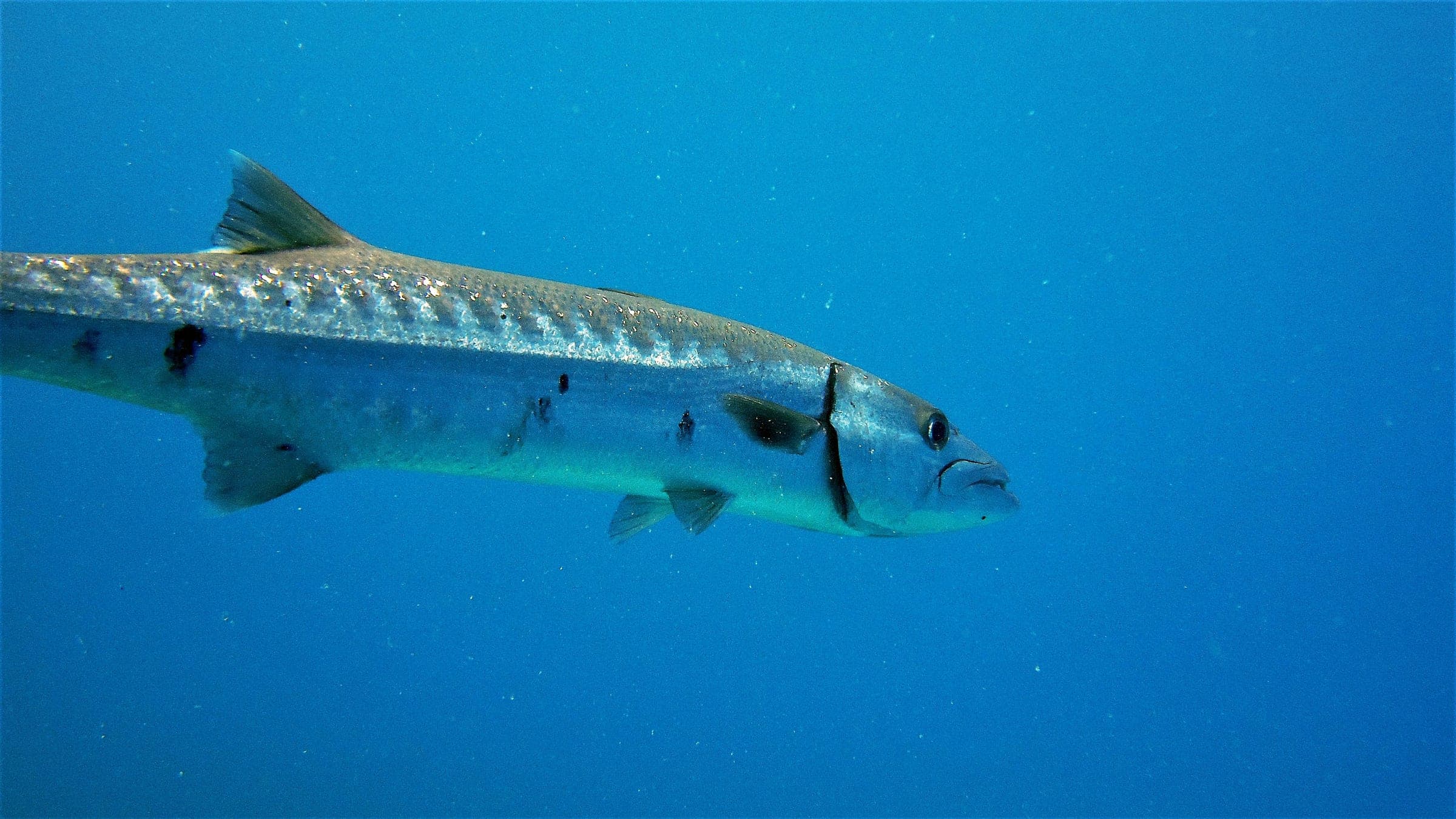
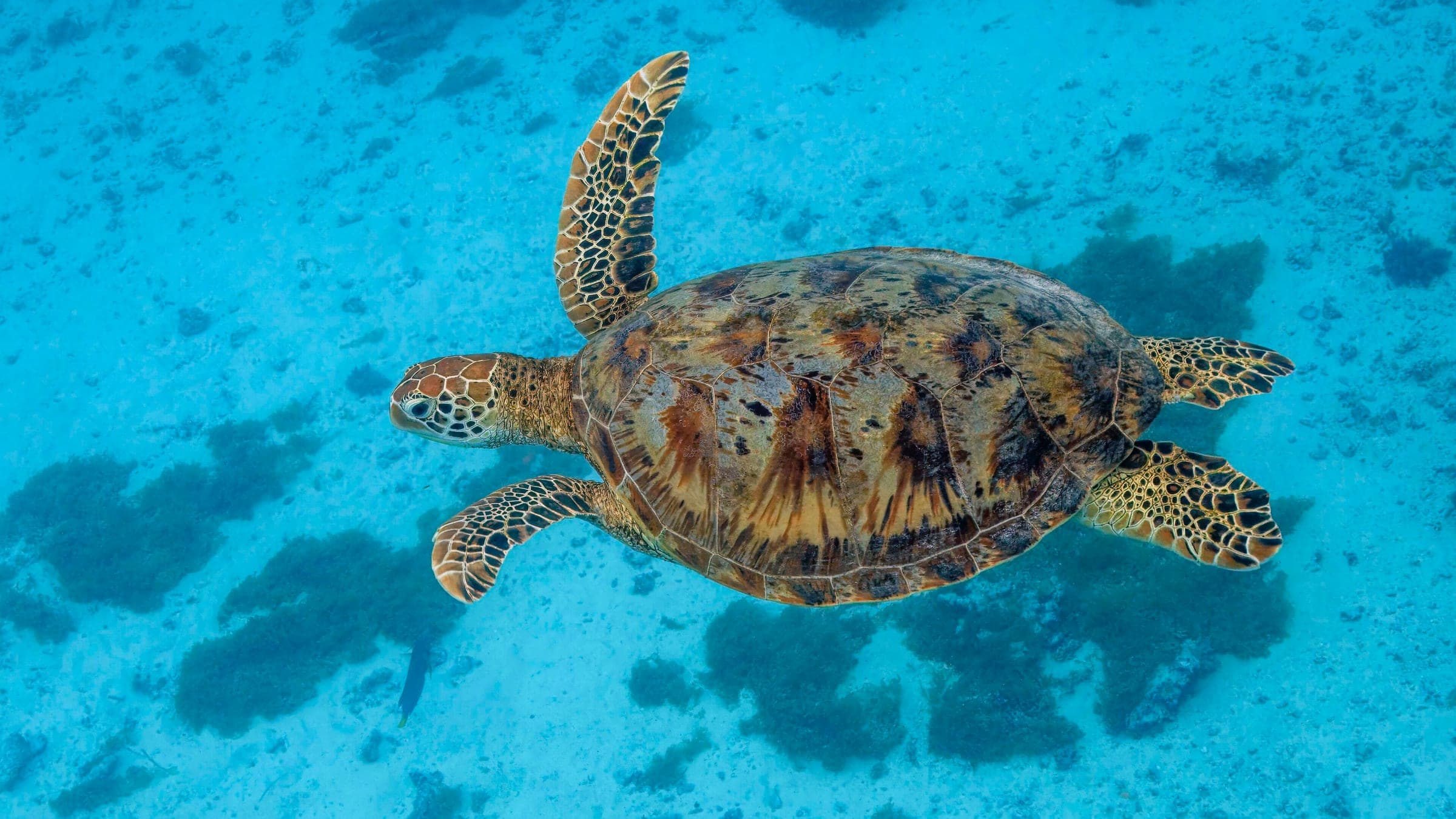
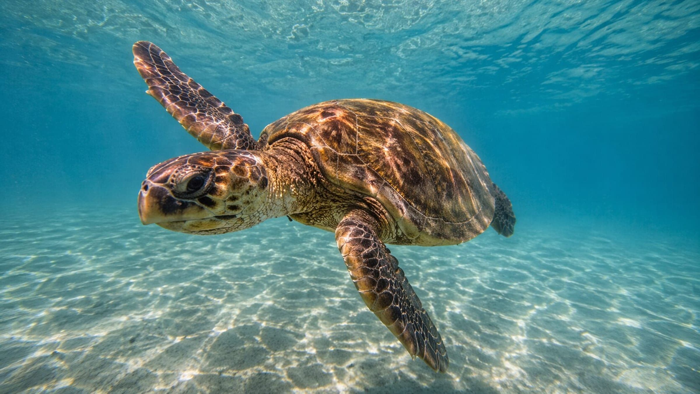
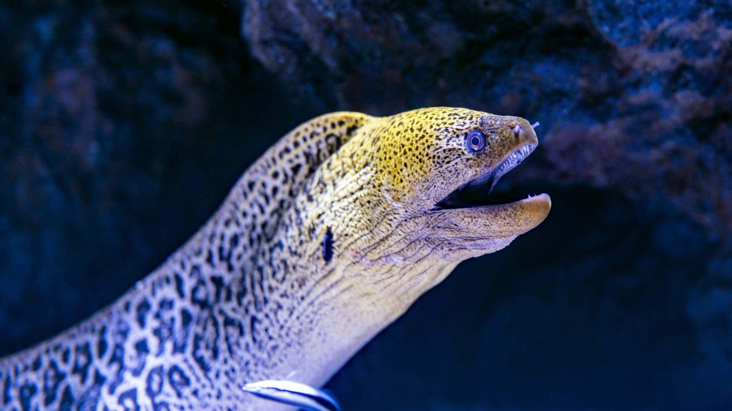
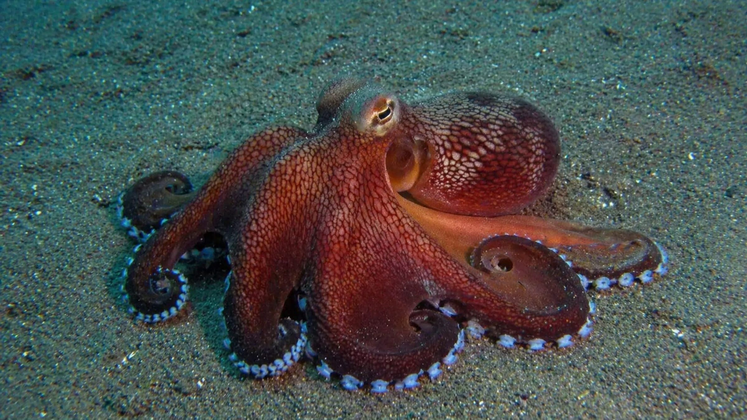
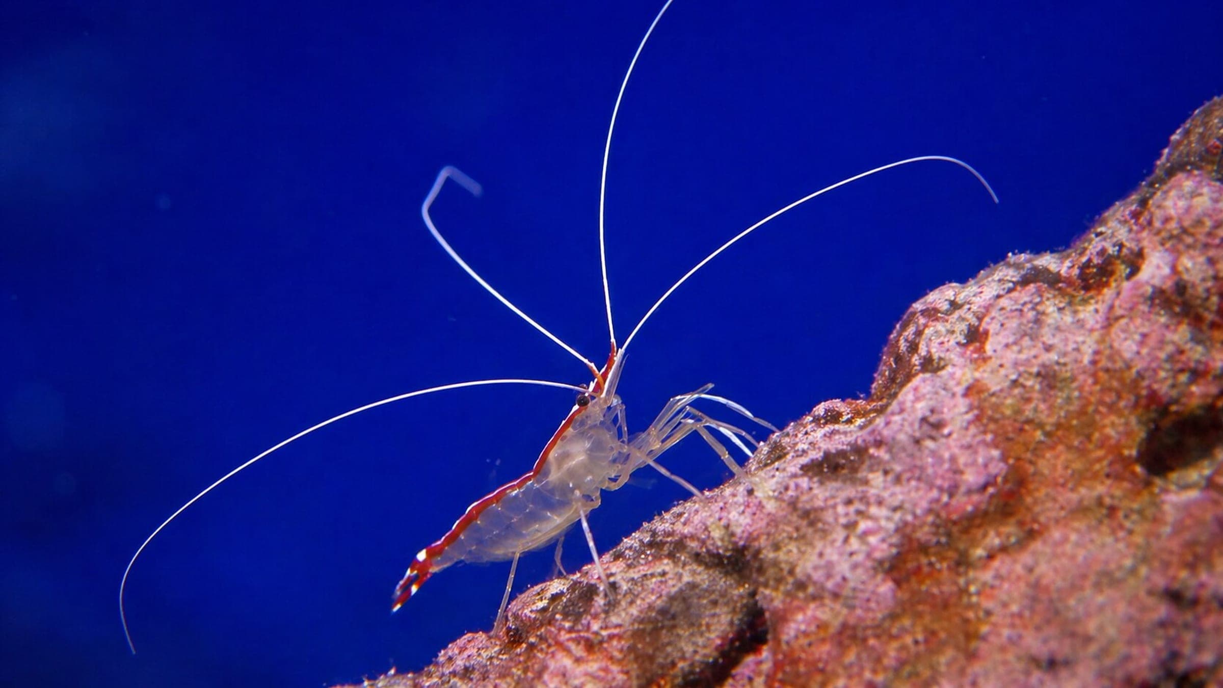
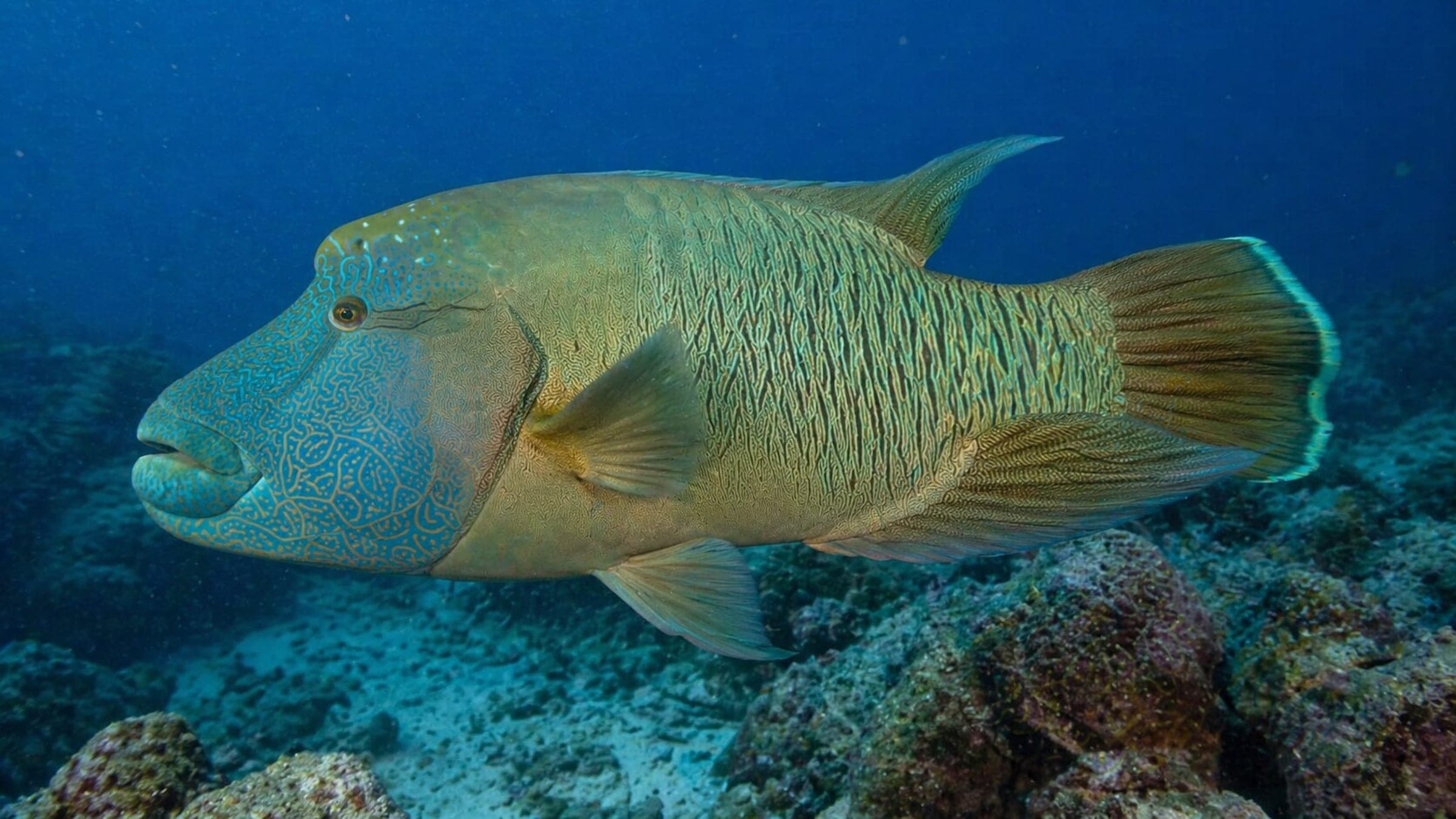
La isla Manijin es un afloramiento rocoso frente a Pafos, con una pared, pasajes en cueva y un final en forma de cuenco. La ruta cruza zonas de arena y roca, y luego pasa por salientes y pasadizos antes de la salida final por un respiradero. Es una inmersión recreativa relajada en aguas tranquilas, pero las secciones con techo recompensan una flotabilidad precisa y un ritmo conservador. Los lábridos, morenas, pulpos, camarones y tortugas ocasionales suelen ser los principales atractivos de vida marina.
Línea base conservadora a partir de investigación pública. Aún no hay buceos de la comunidad registrados.
Rango de profundidad, temporada y contexto para planificar.
Profundidad reportada
12m - 22m
Nota de profundidad
Public guides cluster around a 12-22m profile, with a central sand patch and shallower swim-through sections.
Mejor temporada
Late spring through early autumn for calmer water and warmer temperatures.
Condiciones habituales
Ordinary conditions are calm to lightly moving water around the outcrop, with more movement possible in the bowl and blowhole sections.
Hazards, restrictions, and access requirements.
Key Hazards
Safety Notes
Keep the cave and swim-throughs conservative, watch the bowl and blowhole exit on chop, and mind surface traffic during ascents.
Access Restrictions
No permit is noted in the public guides, but the cave and swim-through sections should be treated as overhead terrain and dived with appropriate training.
Legal Notes
Public guides describe free access and mention ancient pottery on the seabed; do not touch artifacts and follow local operator briefings.
Community notes to help plan your visit.
Scuba
Plan a multilevel boat dive that follows the wall, then uses the cave and swim-throughs before the bowl and blowhole finish.
Snorkel
Snorkelling is realistic around the calmer top of the outcrop, but the cave, bowl, and swim-throughs are a scuba-first route.
Use the planner to scan this week, inspect today in local time, and understand how exposure shapes conditions at Manijin island.
Directional shelter context for incoming swell.
Species commonly reported at this site, with direct links into their wildlife guides.
Registros de buceo y visitas de la comunidad para este sitio.
Be the first to log a dive at this spot and share your experience!
Condiciones promedio basadas en buceos y visitas registrados.
Planning answers for access, conditions, timing, and site logistics.
Last Updated
Research Sources
Community directory page describing the 10-minute boat ride, snorkel option, and beginner suitability.
Operator page describing beach access, the 12-22m profile, and recurring marine life.
Official tourism page with the bowl, blowhole, visibility, access by boat, and marine life.
Local tourism board page with the wall, cave, swim-throughs, and Paphos planning context.
Know this site? Improve Spot Details.

Easy shore dive with turtles and rock features.
Pistol Bay is a shore dive with caves, swim-throughs, and walls.
Beginner-friendly Akamas cove with clear reef structure