
Staghorn Point
Meseta de coral cuerno de alce en el atolón sur con tiburones y mantarrayas
Operador local requerido
Park entry and the ranger-station stop are managed through permitted liveaboard operations.
Acerca de Staghorn Point
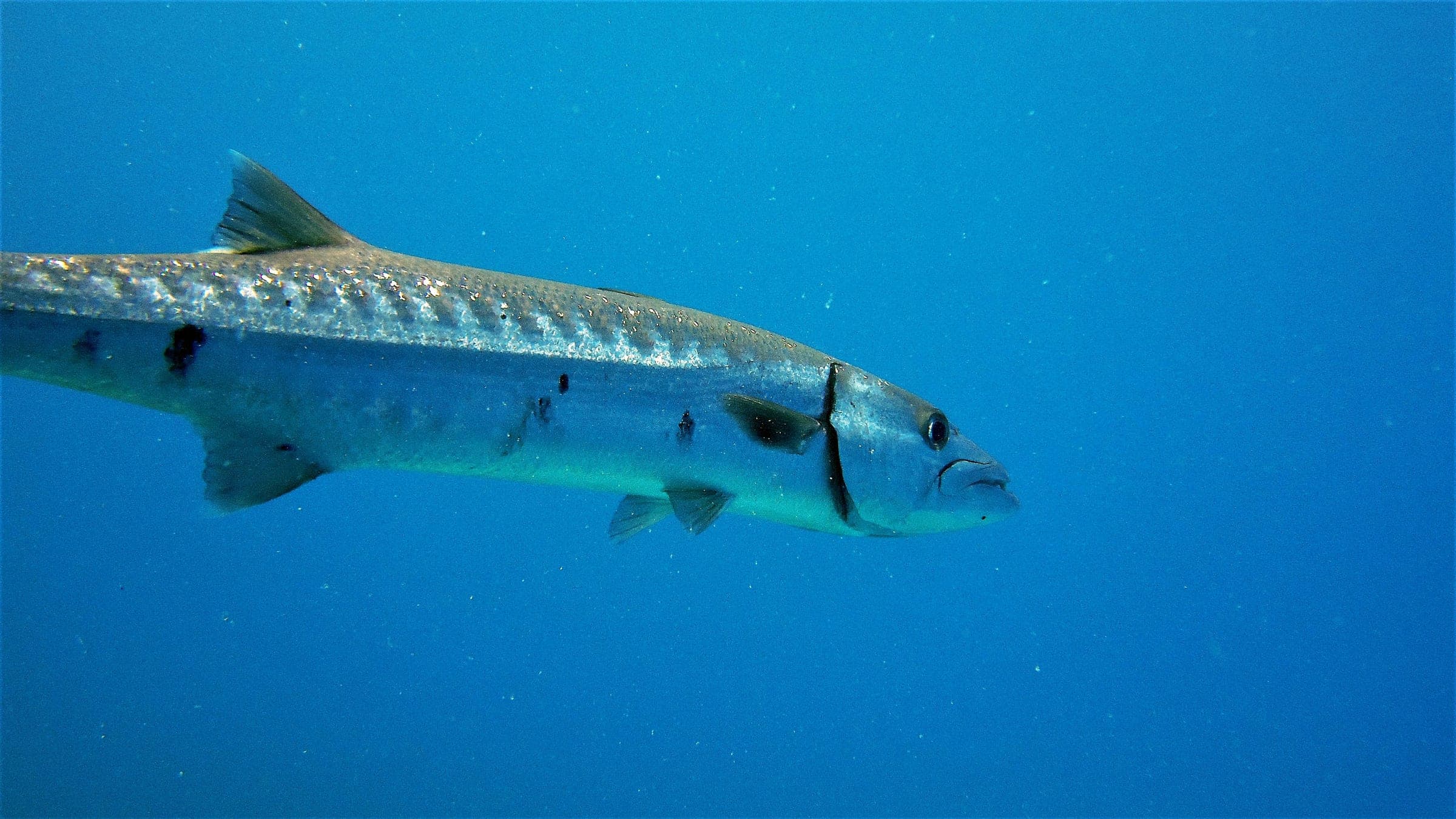
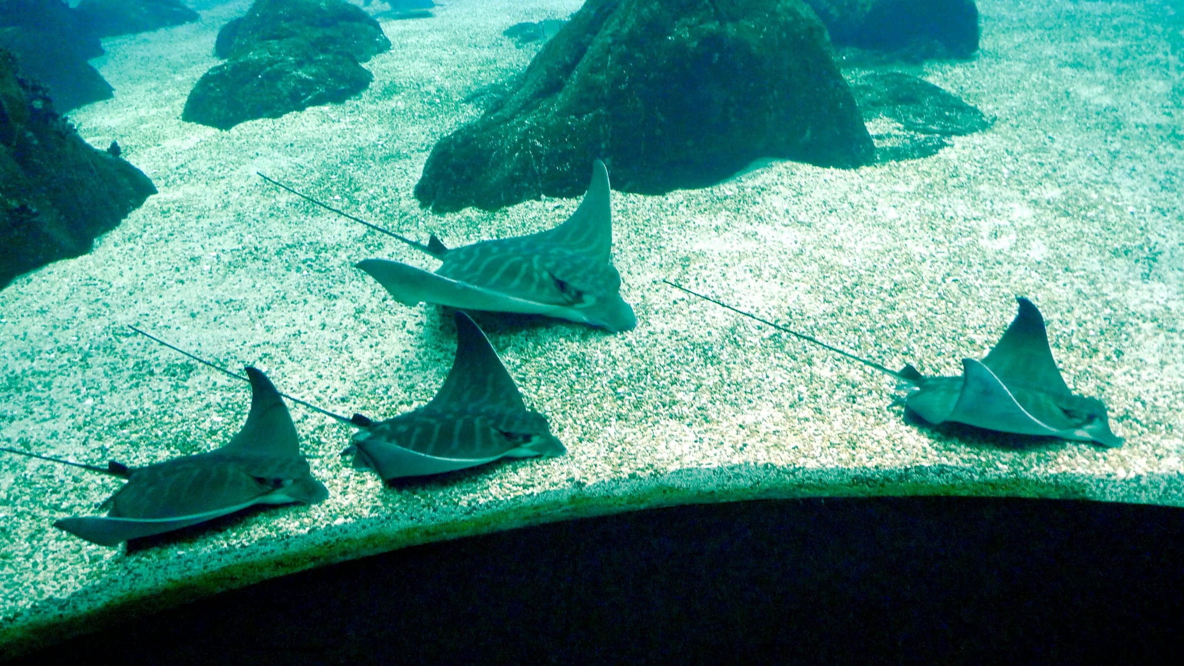
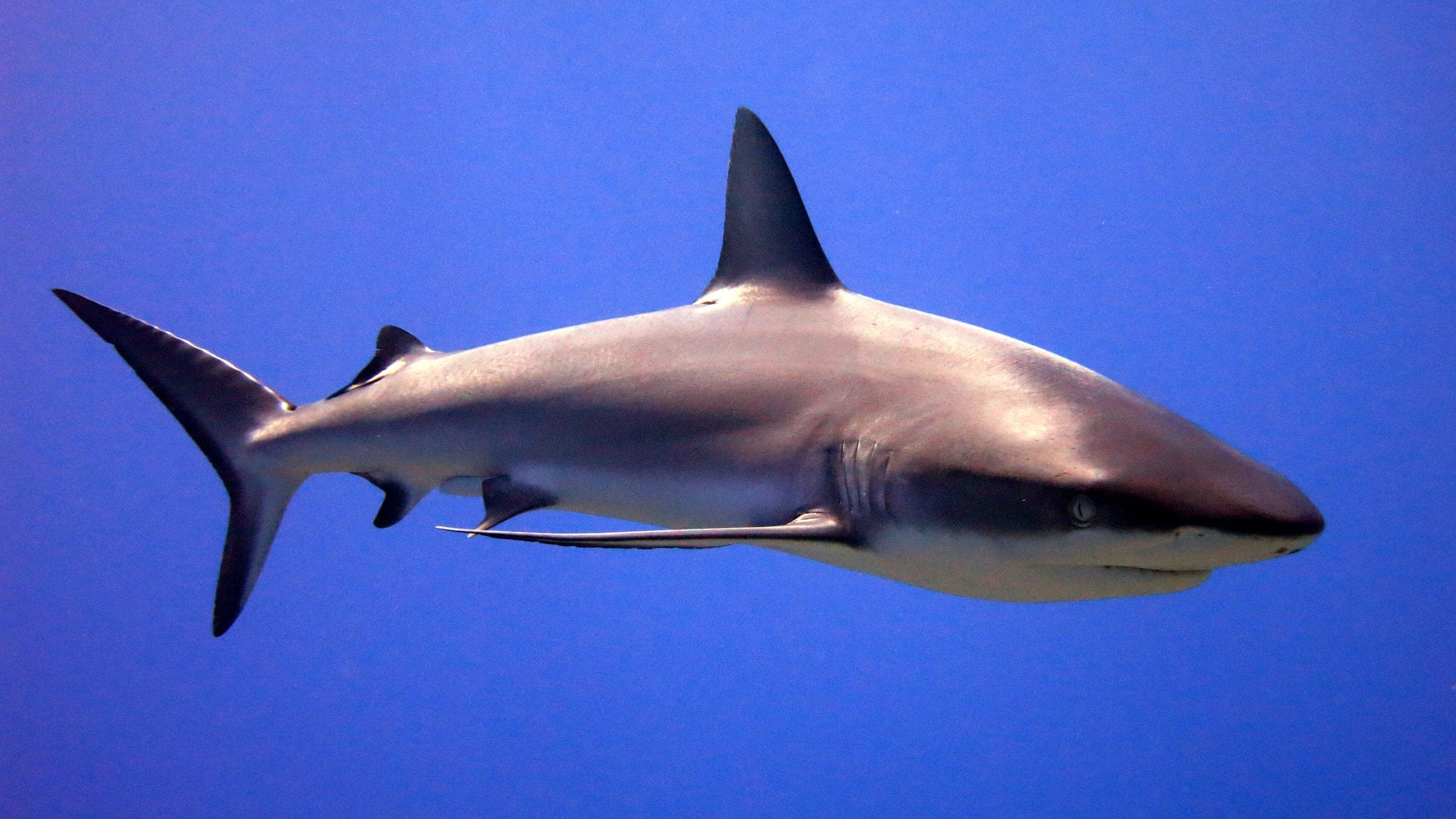
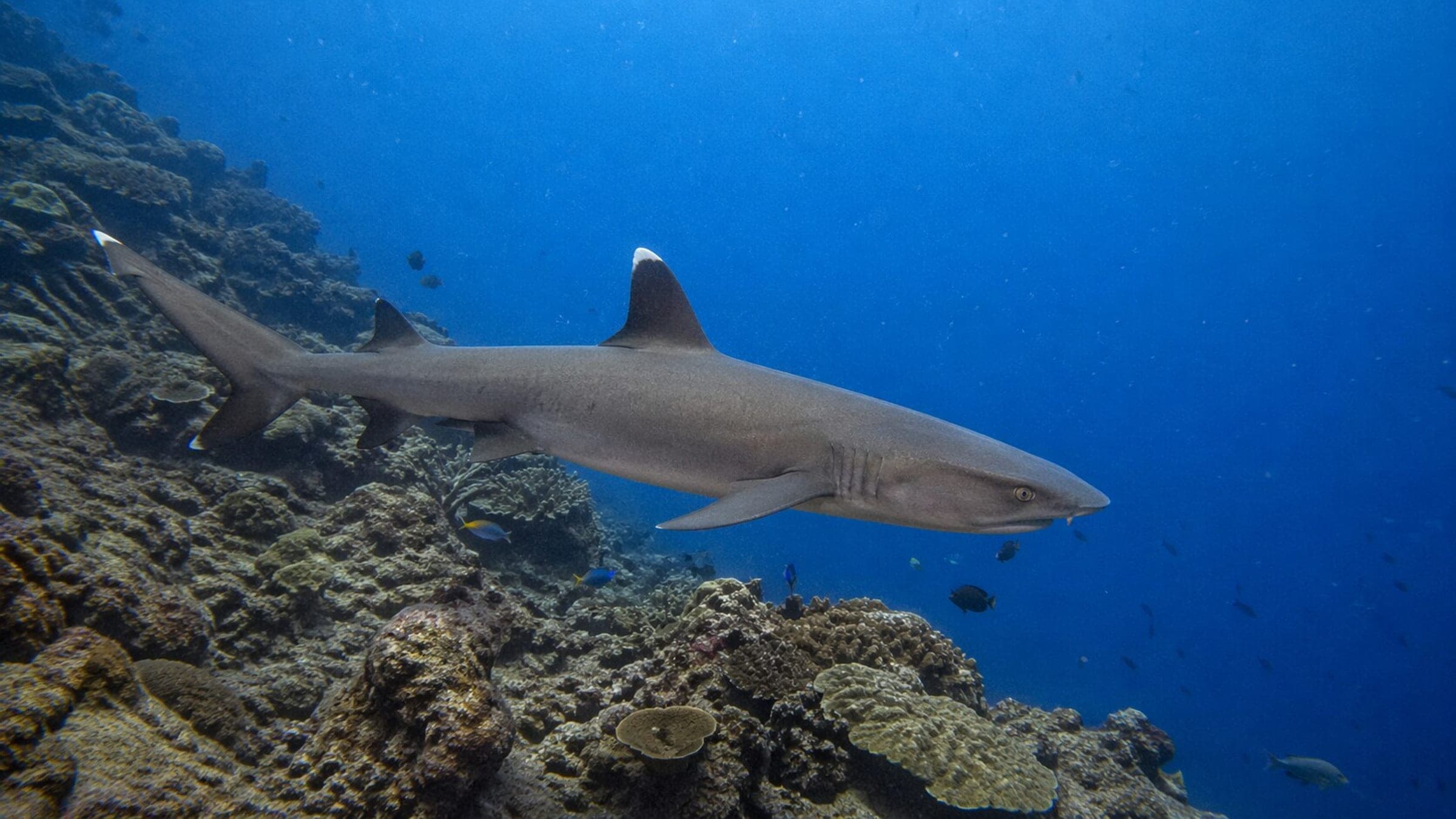
Una amplia meseta de coral cuerno de alce en el atolón sur que se extiende hacia una pared profunda, con un ambiente tranquilo y escénico, y pasos frecuentes de mantarrayas águila, tiburones y peces de arrecife en cardumen. Es una inmersión a la deriva avanzada pero accesible para buceadores que buscan gran densidad de coral y un final limpio sobre la parte alta del arrecife.
Estimación de investigación en Staghorn Point
Línea base conservadora a partir de investigación pública. Aún no hay buceos de la comunidad registrados.
Dónde está Staghorn Point?
Detalles de planificación de Staghorn Point
Rango de profundidad, temporada y contexto para planificar.
Profundidad reportada
7m - 25m
Nota de profundidad
Public guides place the staghorn fields around 7m and the drift section along the wall edge in the 15-25m band.
Mejor temporada
March-June dry season
Condiciones habituales
Shallow staghorn fields, a deep wall edge, mild downward flow when current pushes south, and a generally sheltered South Atoll feel.
Seguridad y acceso en Staghorn Point
Hazards, restrictions, and access requirements.
Key Hazards
Safety Notes
Watch the wall edge when the current turns down the reef and keep depth awareness on the drop-off.
Access Restrictions
Liveaboard access only for dives; the ranger-station land stop is the usual permitted shore visit, and shore access elsewhere in the park is prohibited.
Legal Notes
Tubbataha entry is permit-controlled, daylight-only for diving, and managed through park-permitted operators.
Local Intel For Staghorn Point
Community notes to help plan your visit.
Scuba
A reef-and-wall scuba dive starting in shallow coral and continuing toward the drop-off; stable buoyancy and a tidy drift line matter most.
Freedive
Freediving is best on the shallow staghorn plateau in very calm conditions; the wall-edge section is better treated as a scuba drift.
Snorkel
Snorkeling is limited to very calm, permitted shallows near the plateau; the wall section is scuba territory.
Staghorn Point Dive Conditions Planner
Use the planner to scan this week, inspect today in local time, and understand how exposure shapes conditions at Staghorn Point.
Exposure Profile at Staghorn Point
Directional shelter context for incoming swell.
Wildlife at Staghorn Point
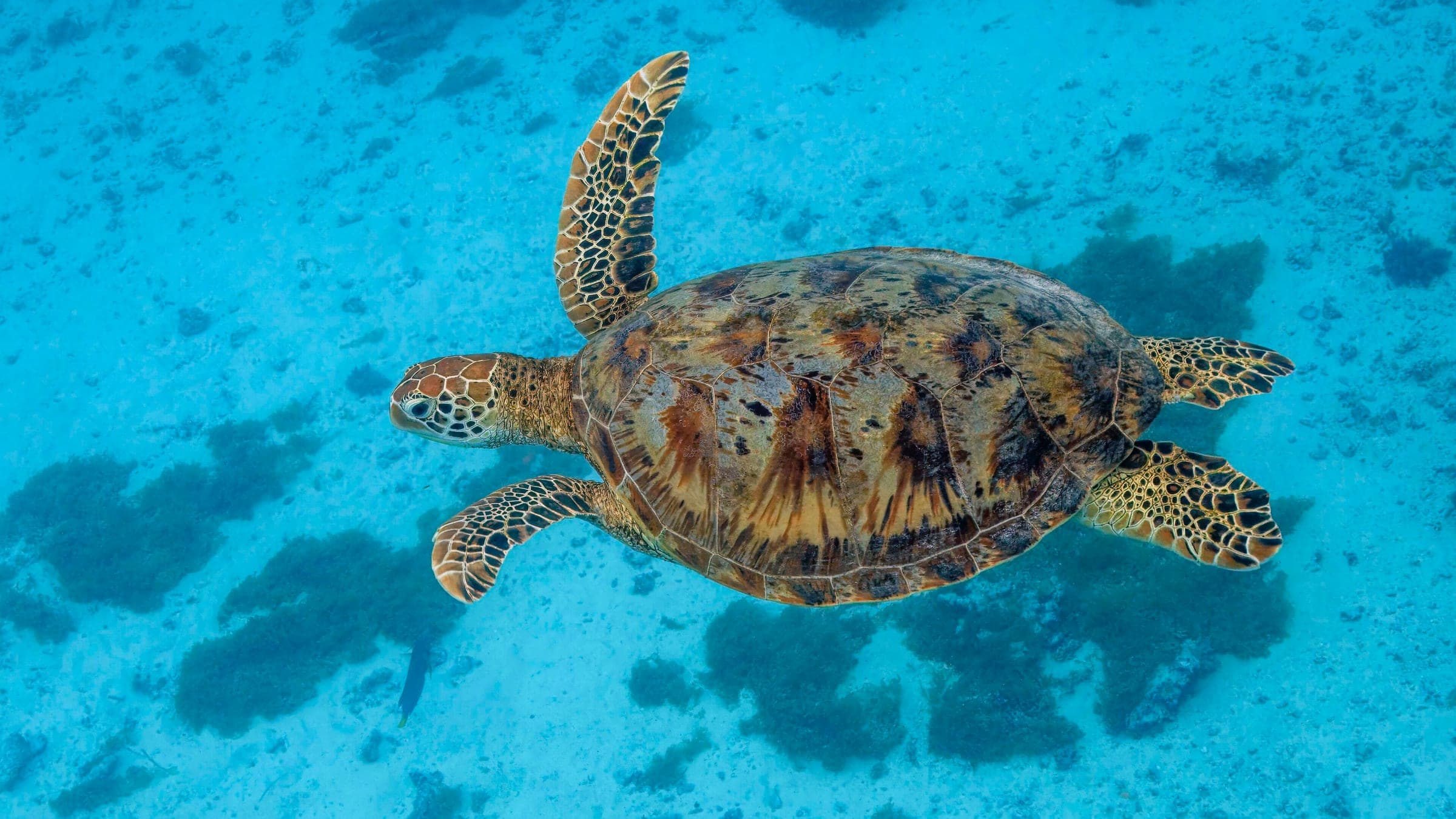
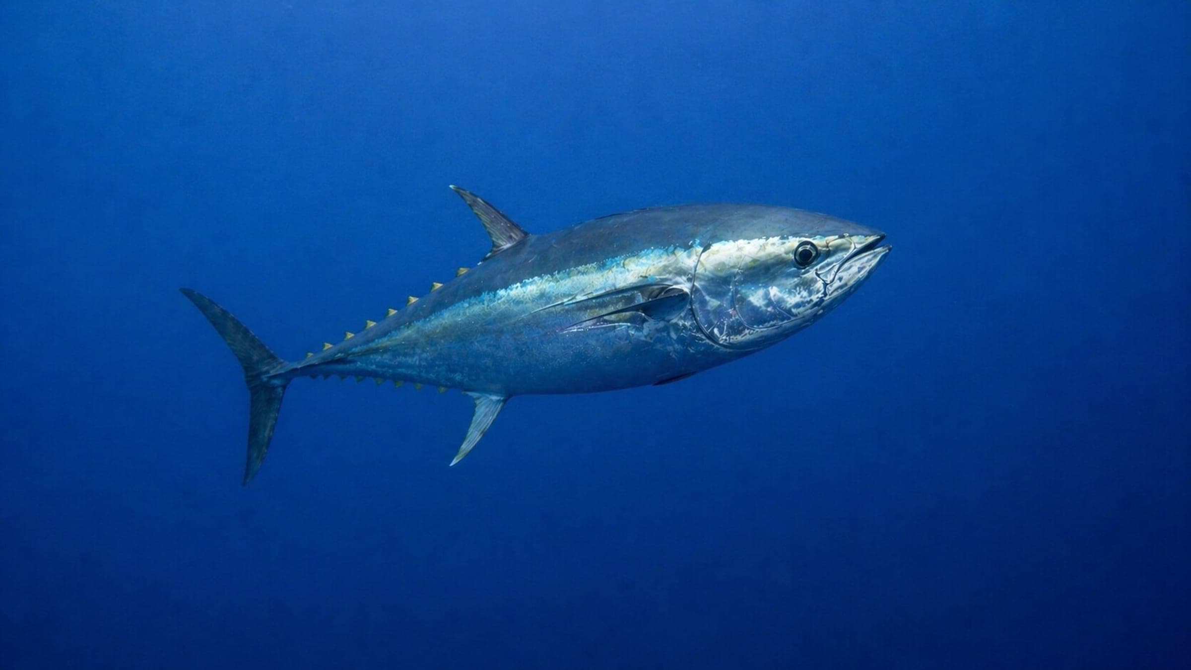
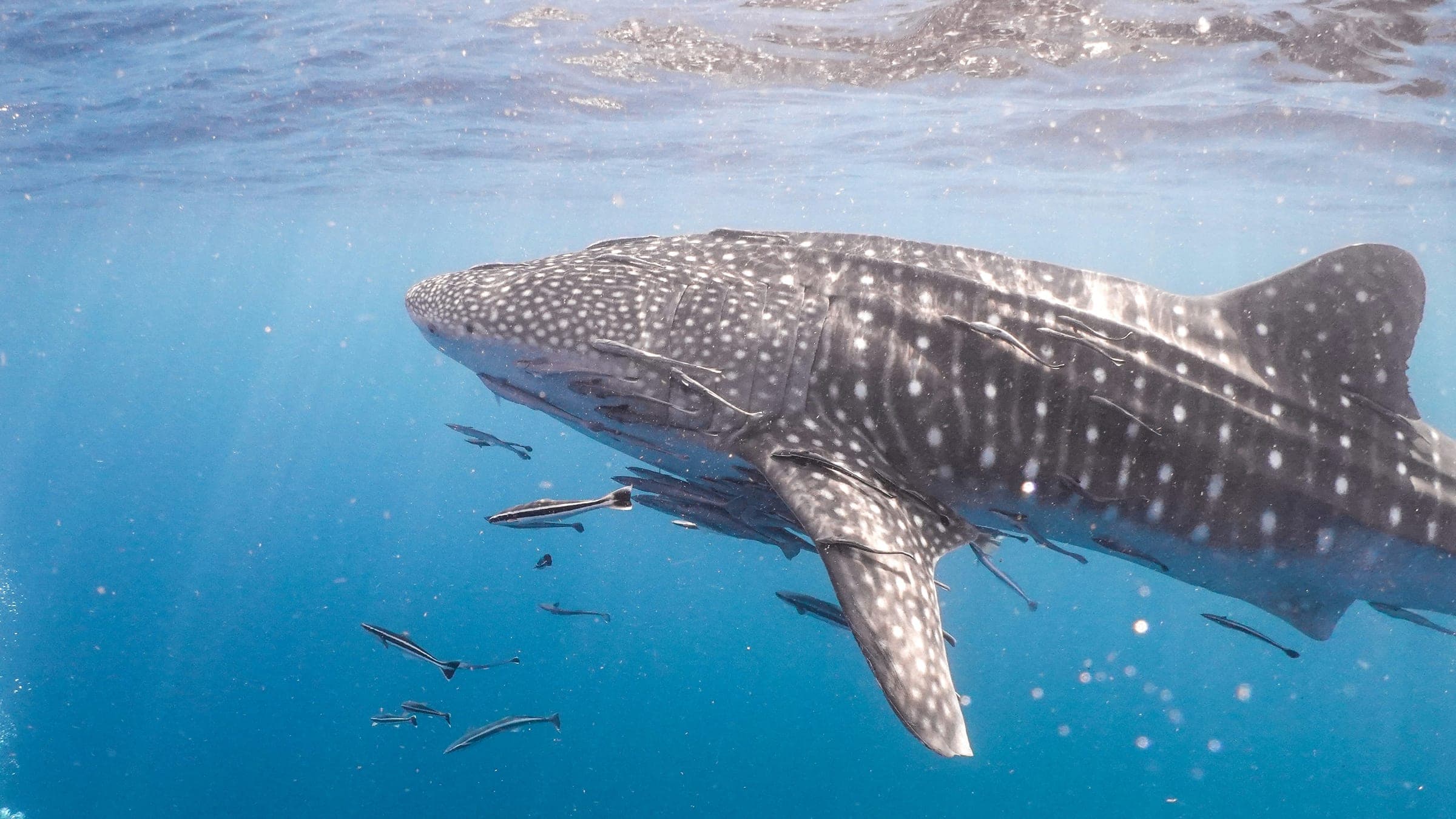
Species commonly reported at this site, with direct links into their wildlife guides.
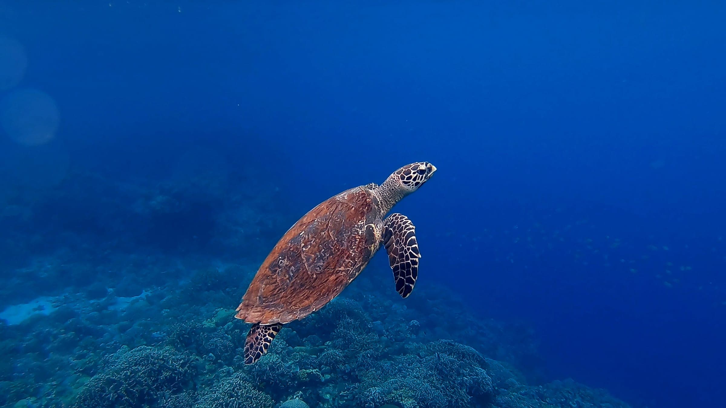
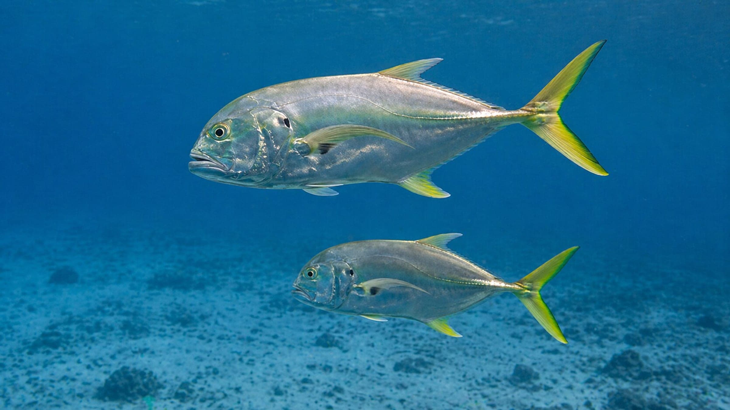
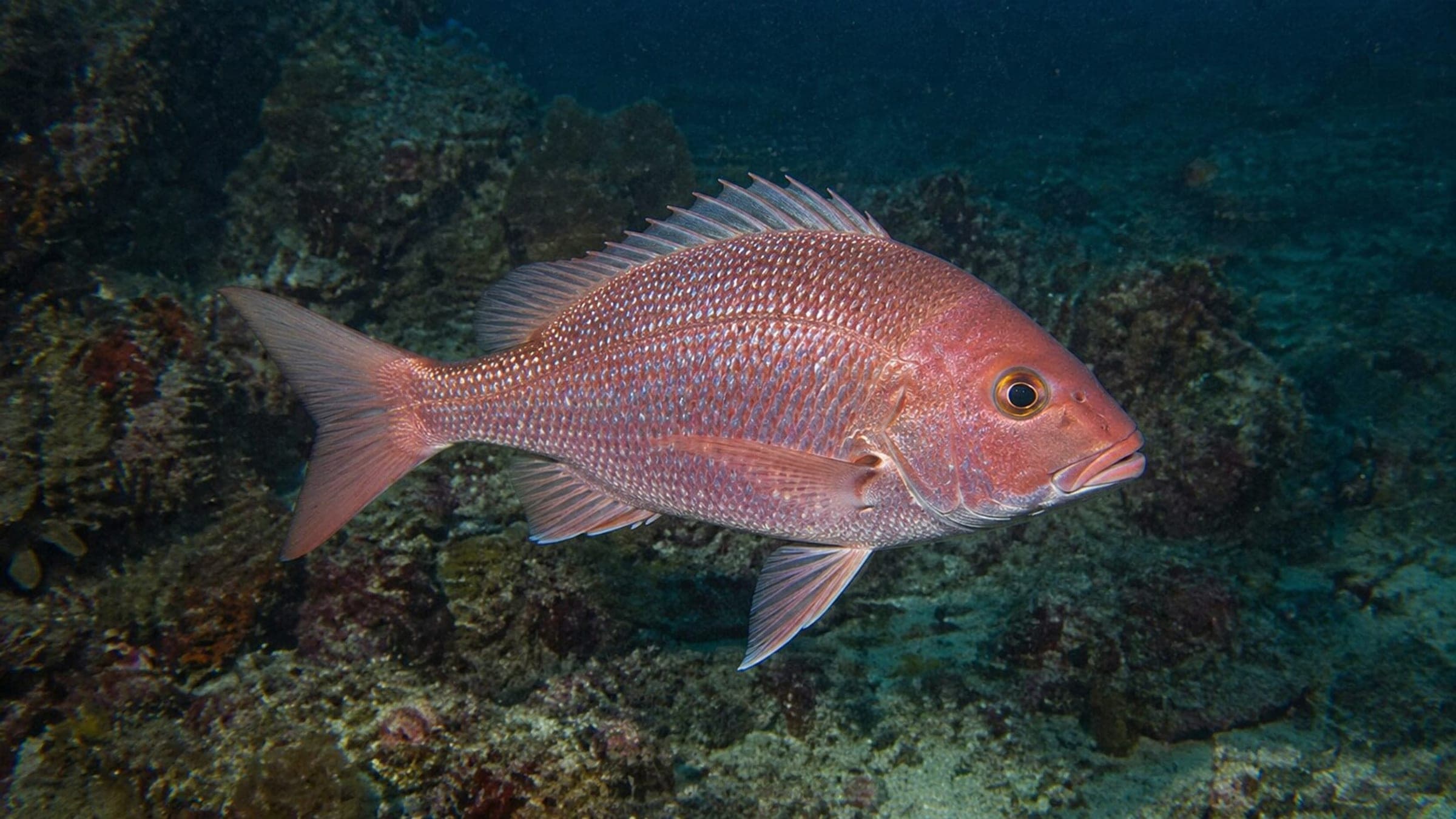
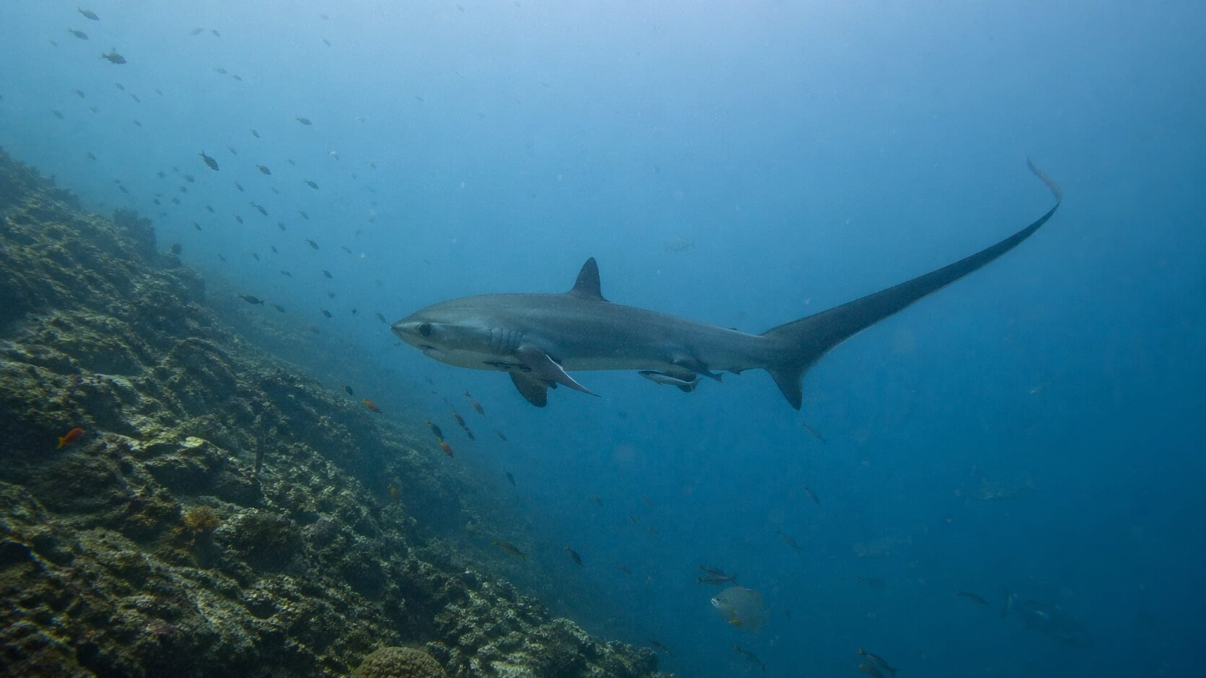
Visitas registradas recientes en Staghorn Point
Registros de buceo y visitas de la comunidad para este sitio.
No Dive Logs Yet
Be the first to log a dive at this spot and share your experience!
Promedios de registros en Staghorn Point
Condiciones promedio basadas en buceos y visitas registrados.
Staghorn Point Guide - Sources and Updates
Last Updated
Know this site? Improve Spot Details.
