
hasanendes.com · Operator
Local Tekirova dive-site page for Three Islands.
Inmersión en barco en arrecife y pared en Tekirova
The site is normally run as a guided boat dive from Tekirova.
Pyramide Reef es un sitio al que se llega en barco en las Tres Islas, frente a Tekirova, con un perfil mixto de arrecife y pared, un pequeño cañón y rasgos históricos en el fondo que hacen que la elección de la ruta forme parte de la inmersión. Es apto para buceadores que buscan una salida relajada pero atenta a las corrientes, porque la ruta más sencilla puede cambiar según el movimiento del agua del día y, por lo general, un guía local planeará en función de eso.
Línea base conservadora a partir de investigación pública. Aún no hay buceos de la comunidad registrados.
Rango de profundidad, temporada y contexto para planificar.
Profundidad reportada
10m - 35m
Nota de profundidad
The reef has a shallow side around 10-17 m and a deeper side around 35 m, with a small canyon between them.
Mejor temporada
May to November
Condiciones habituales
Boat-accessed reef and wall terrain, very good visibility, and current that can shape the route.
Hazards, restrictions, and access requirements.
Key Hazards
Safety Notes
Use a guide who can choose the shallow side if the current is running. Keep depth awareness and buoyancy tidy on the canyon edges.
Access Restrictions
Boat access through a local Tekirova operator is the normal route.
Legal Notes
No special permit is called out for normal recreational diving.
Community notes to help plan your visit.
Scuba
Best as a guided boat dive with a local Tekirova operator. The site suits divers comfortable with moderate depth changes and current-aware routing.
Freedive
Freediving is not the best fit; the deeper side and current make scuba the normal choice.
Snorkel
Snorkeling only gives a surface look at the site and misses the reef, canyon, and archaeological features.
Use the planner to scan this week, inspect today in local time, and understand how exposure shapes conditions at Pyramide Reef.
Directional shelter context for incoming swell.
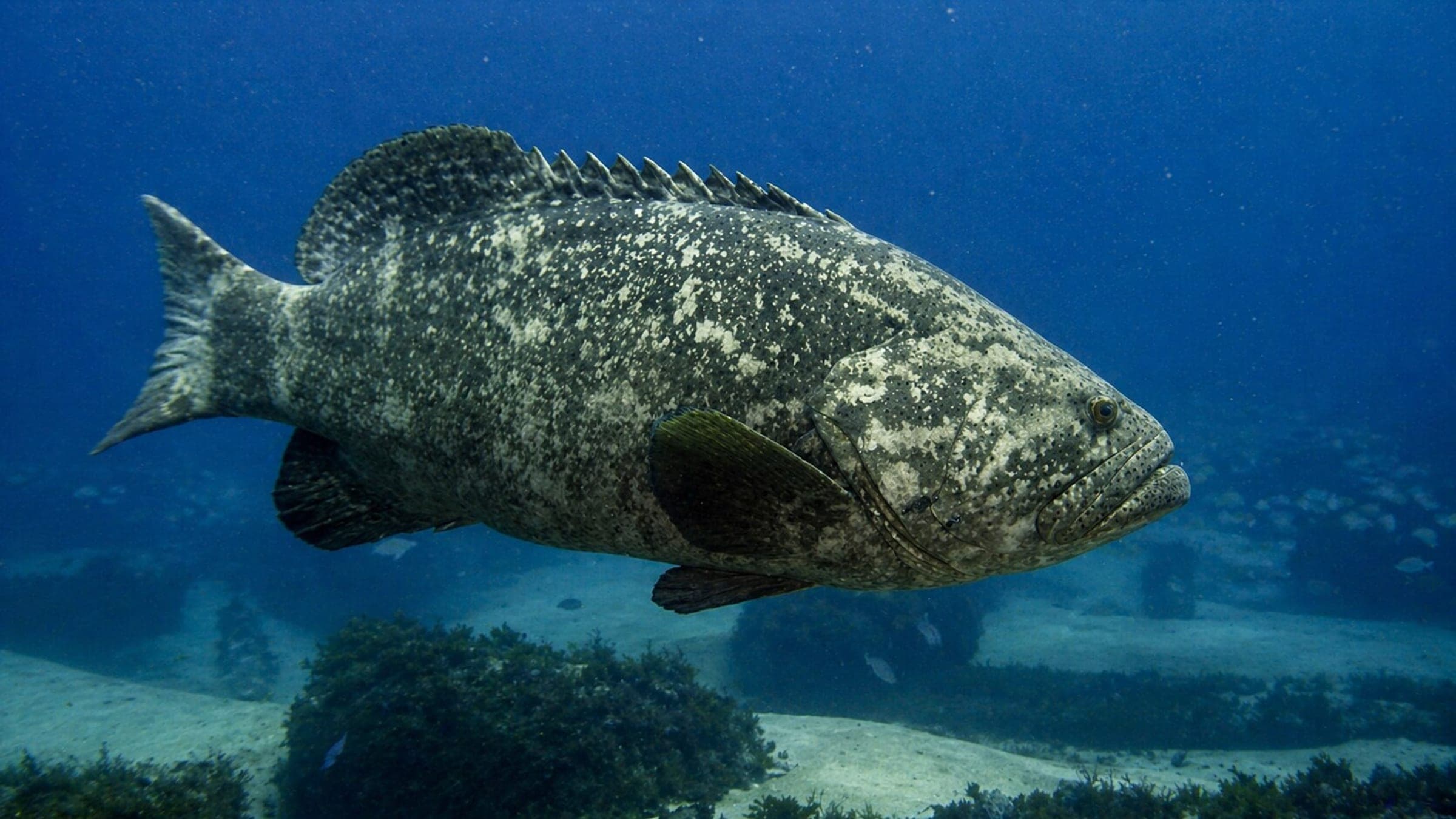
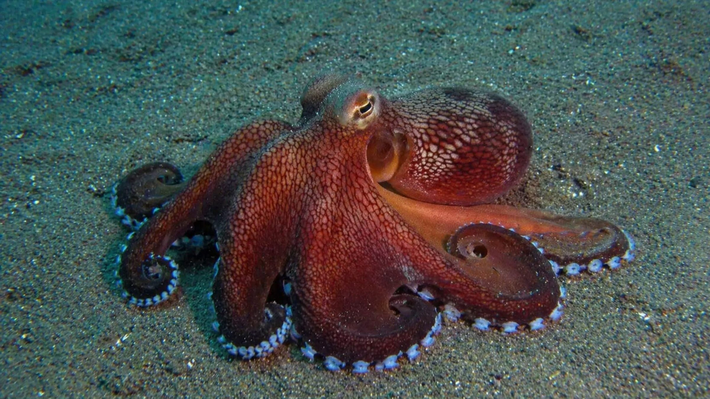
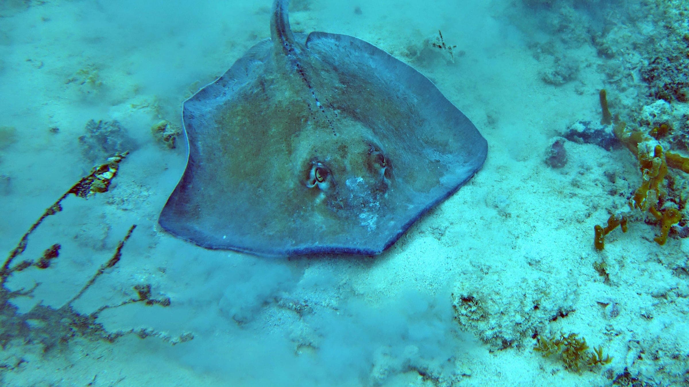
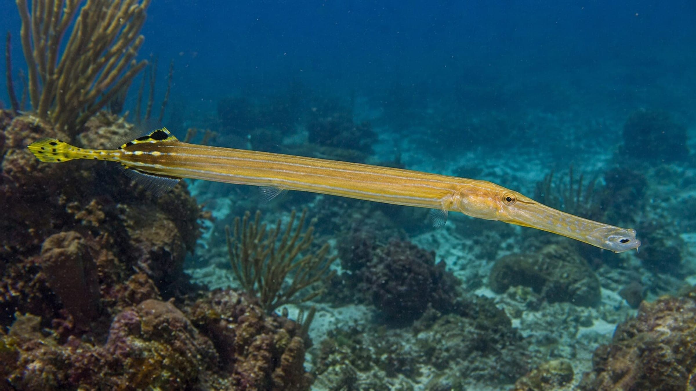
Species commonly reported at this site, with direct links into their wildlife guides.
Registros de buceo y visitas de la comunidad para este sitio.
Be the first to log a dive at this spot and share your experience!
Condiciones promedio basadas en buceos y visitas registrados.
Planning answers for access, conditions, timing, and site logistics.
Last Updated
Research Sources
Local Tekirova dive-site page for Three Islands.
Regional government PDF covering Antalya underwater sites.
Know this site? Improve Spot Details.

Boat-accessed Three Islands cave dive with a deep profile.
Tekirova boat-diving cluster with reefs, caves, and wrecks.