La Roca
Advanced shore dive on Gran Canaria's volcanic north coast.
Make this a real next stop
Save it, log a dive, or explore nearby on the map.
Save it to come back later
About La Roca
La Roca is the deeper, more committed end of the Sardina del Norte route in Gran Canaria, built around volcanic arches, walls, and fish-holding structure. It suits advanced divers who can handle a precise shore entry, a controlled exit, and a route that rewards steady buoyancy and good gas management. The payoff is a dense schooling-fish dive when the sea is settled and the guide can keep the team on line.
Research Estimate At La Roca
Conservative baseline from public research. No community dives logged yet.
Where Is La Roca?
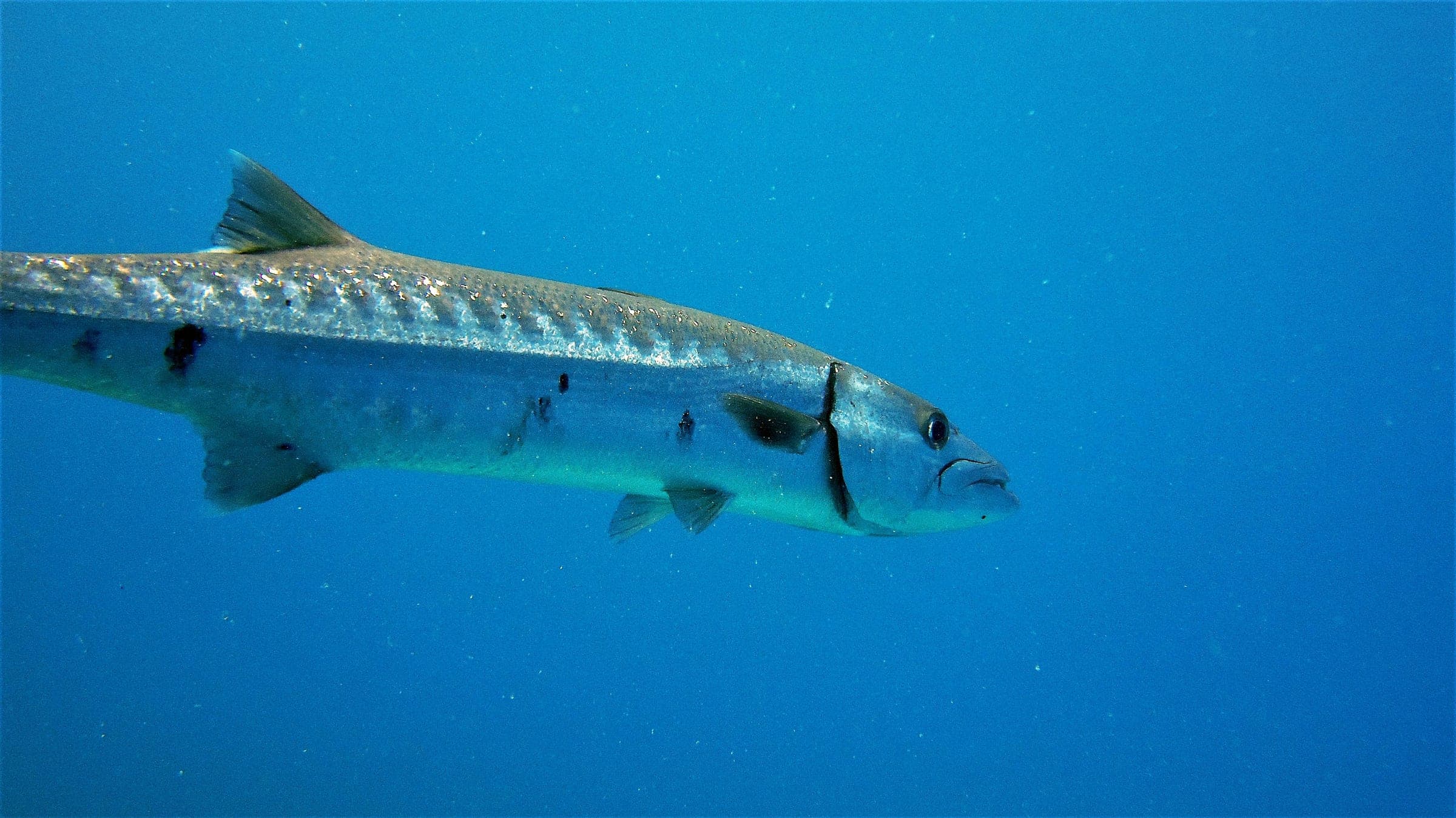
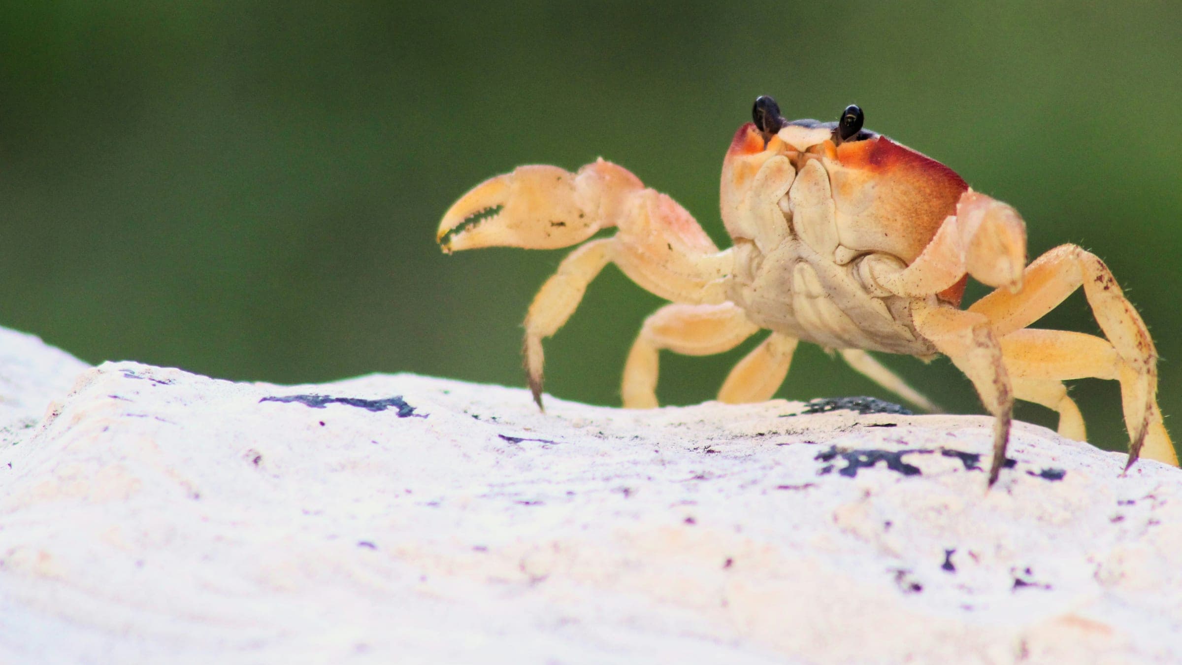
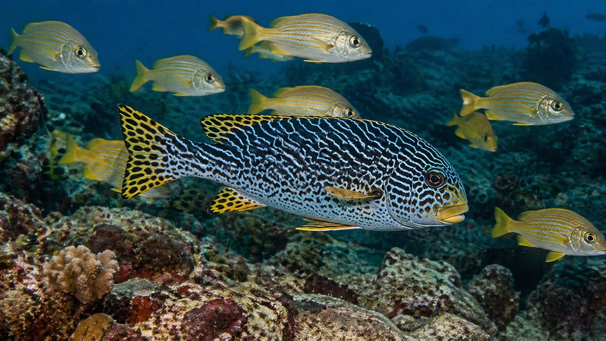
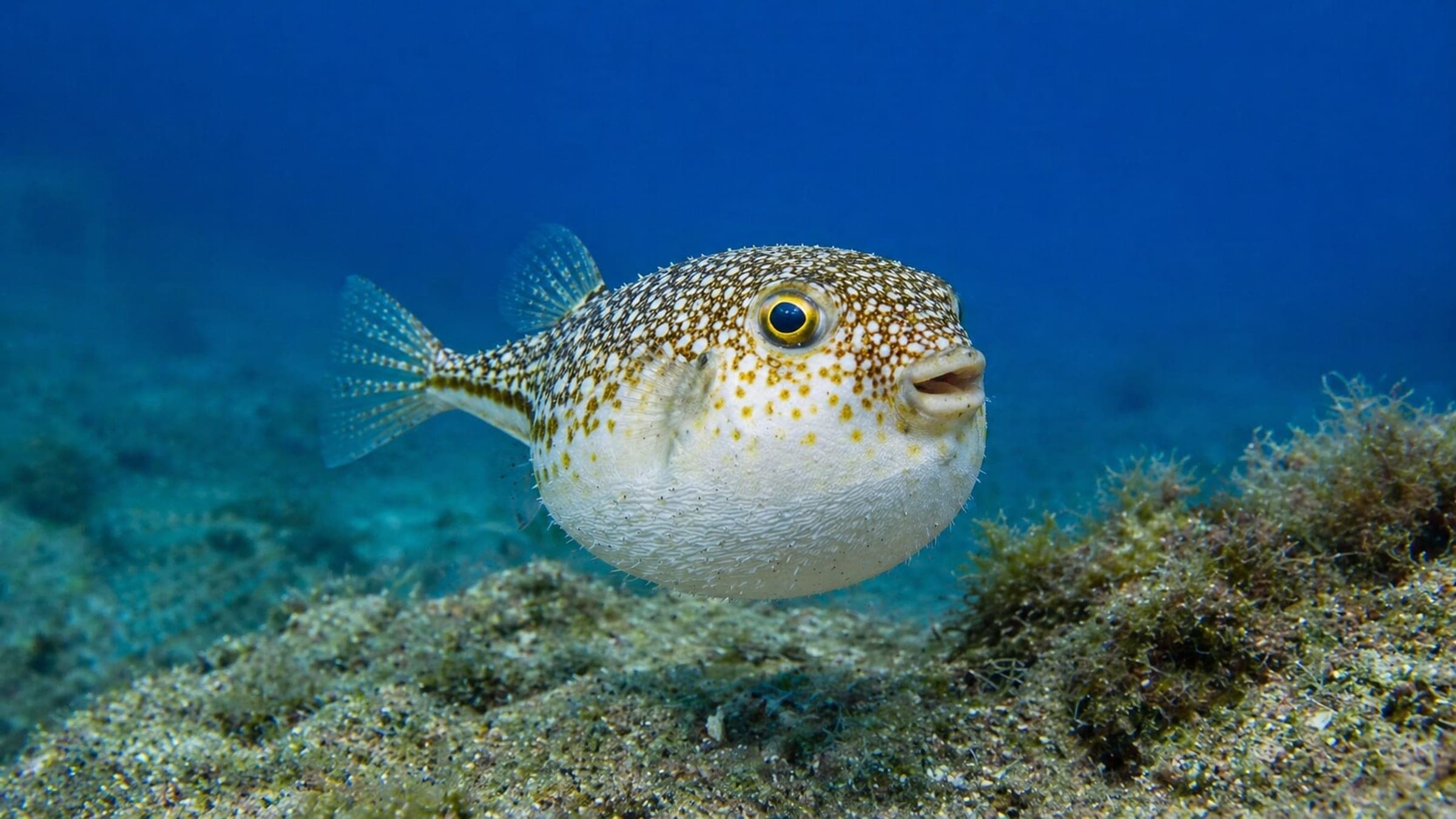
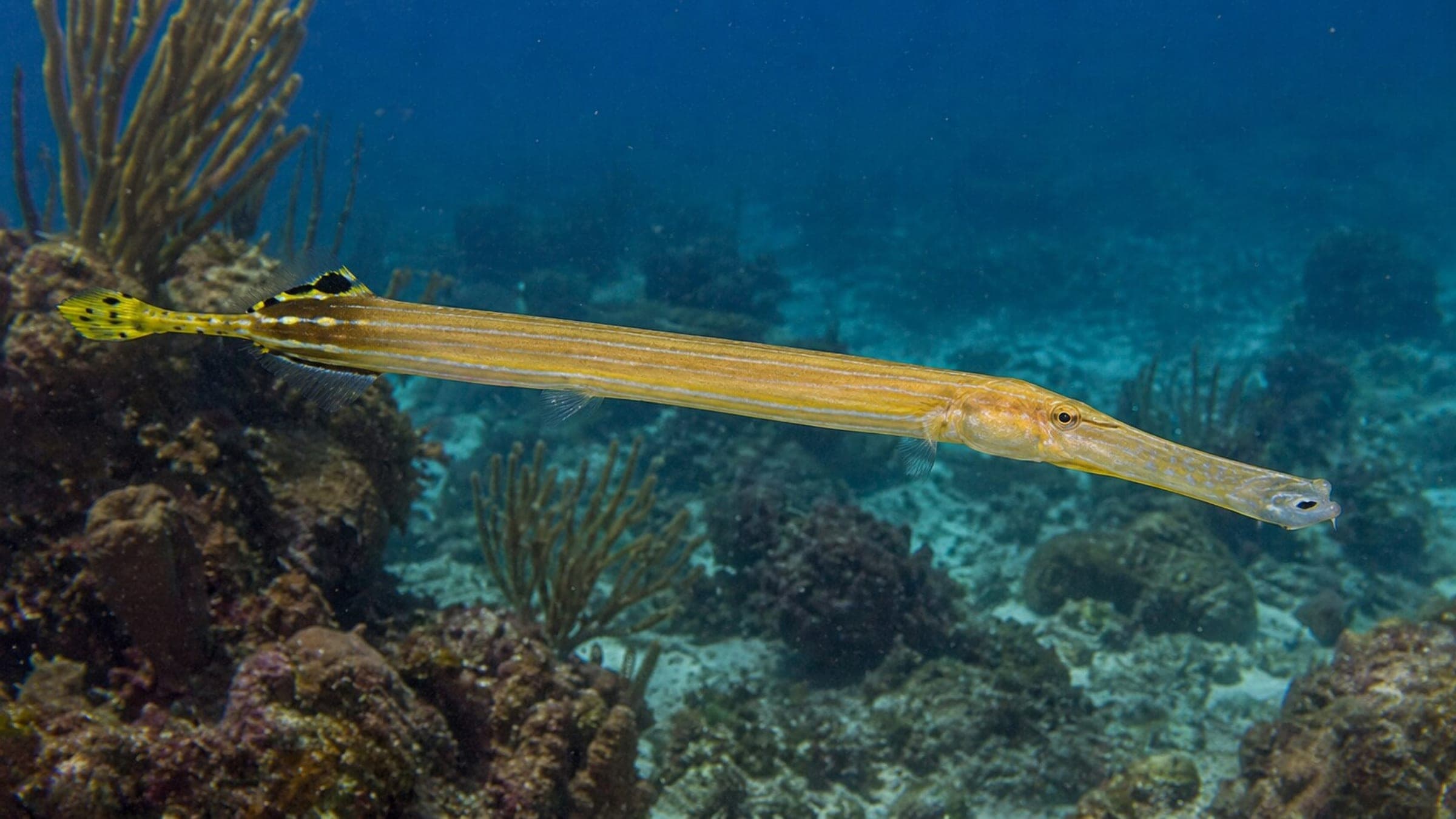
Wildlife at La Roca
Species commonly reported at this site, with direct links into their wildlife guides.
Recent Logged Visits At La Roca
Community dive logs and visit reports for this site.
No Dive Logs Yet
Be the first to log a dive at this spot and share your experience!
Dive Spot Log Averages At La Roca
Average conditions based on logged dives & visits.
Know this site? Improve Spot Details.
