diveswansea.com.au · Operator
Contexto de mergulho de entrada pela costa e orientações de acesso.
Mergulho raso com entrada pela costa ao redor do carregador de carvão de Catherine Hill Bay.
Save it, log a dive, or explore nearby on the map.
Save it to come back later
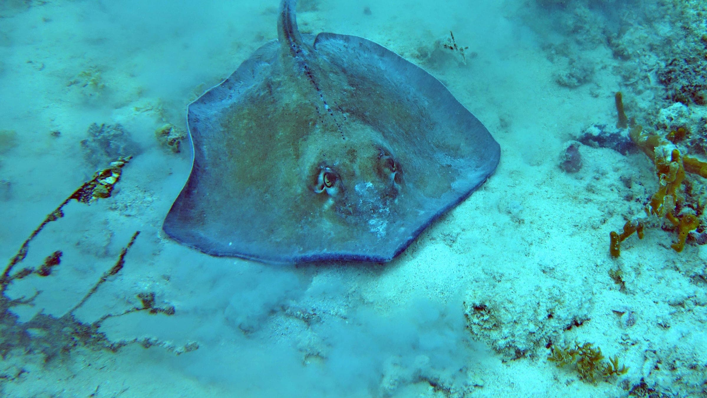
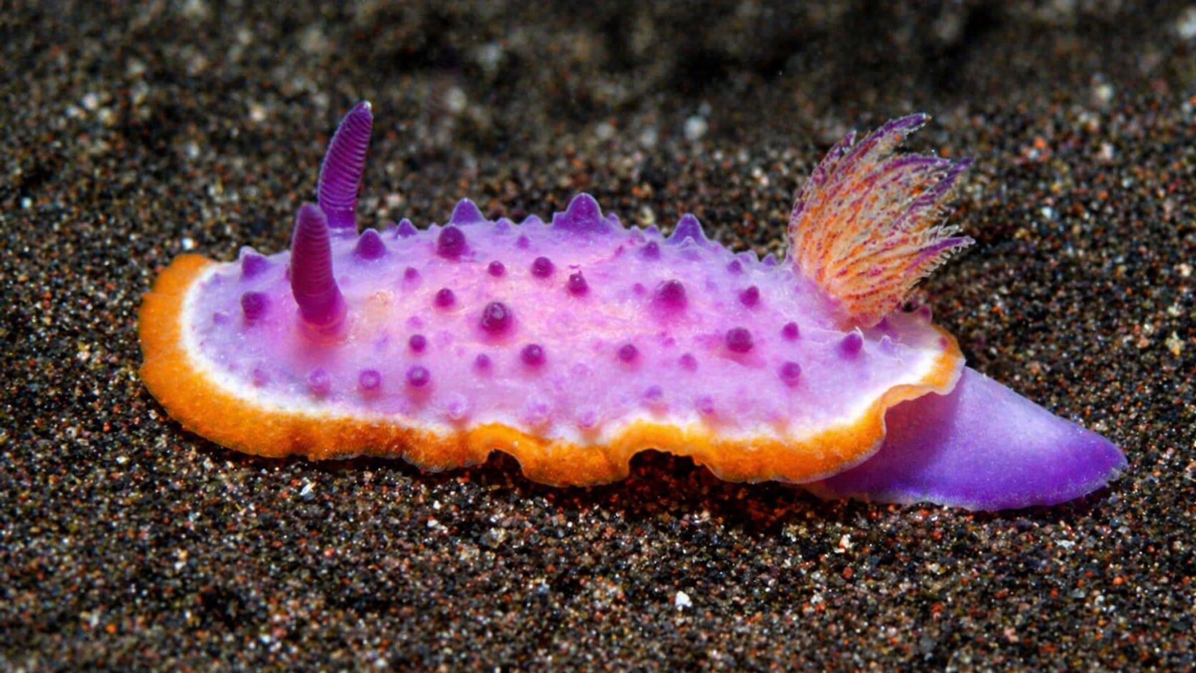
Catherine Hill Coal Loader é um mergulho raso com entrada pela costa ao lado do histórico píer de carregamento de carvão de Catherine Hill Bay. O carregador, correntes, cabos e os restos do SS Wallarah estão sobre areia, com cardumes de peixes, raias, nudibrânquios e outras pequenas formas de vida marinha ao redor da estrutura.
Conservative baseline from public research. No community dives logged yet.
Depth range, seasonality, and planning context.
Reported Depth
Up to 11m
Depth Note
Mergulho raso até cerca de 11 m.
Typical Conditions
Mergulho raso em areia e estrutura com visibilidade modesta e entrada mais fácil em dias calmos e com pouca ondulação.
Hazards, restrictions, and access requirements.
Key Hazards
Safety Notes
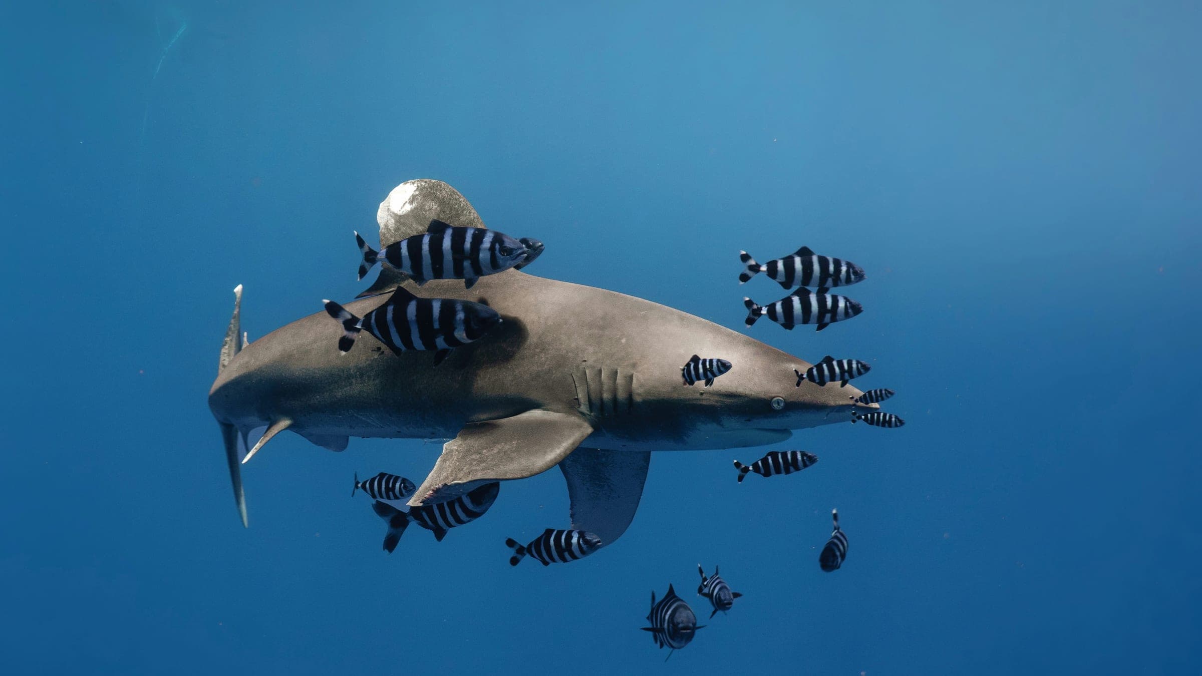
Há detritos como correntes e cabos ao redor da estrutura que podem representar risco de enroscamento/pt/emaranhamento. Tubarões-touro já foram avistados na área.
Community notes to help plan your visit.
Mergulho autônomo
Um mergulho com cilindro raso ao redor da estrutura do carregador de carvão e campo de detritos, atingindo cerca de 11 m.
Snorkel
O snorkel pode funcionar na baía em dias calmos, mas a área do carregador é mais adequada para pessoas que praticam snorkel confiantes do que para um mergulho casual.
Use the planner to scan this week, inspect today in local time, and understand how exposure shapes conditions at Catherine Hill Coal Loader.
Directional shelter context for incoming swell.
Species commonly reported at this site, with direct links into their wildlife guides.
Community dive logs and visit reports for this site.
No Dive Logs Yet
Be the first to log a dive at this spot and share your experience!
Average conditions based on logged dives & visits.
Planning answers for access, conditions, timing, and site logistics.
Last Updated
Research Sources
Contexto de mergulho de entrada pela costa e orientações de acesso.
Contexto sobre instalações, estacionamento e patrulhamento.
Contexto sobre praia histórica popular, píer e atividades na baía.
Know this site? Improve Spot Details.

Mergulho raso em enseada de NSW com saliências, cavernas e tubarões.
Ghosties é um mergulho de parede e bommie com acesso por barco na costa de NSW.
Mergulho em parede com barco em Swansea para mergulhadores intermediários e avançados.
Mergulho de entrada pela costa sensível à maré nos pilares de Swansea Bridge.
Parede de treinamento rasa em canal protegido por quebra-mar em Swansea Heads
Bird Island é um mergulho raso de recife e rocha, acessível por barco, próximo a Lake Munmorah.