When To Go Preview
Best overall window: December - April
Open Season Planner
Country Guide
Temperate reefs, epic wrecks, and fjord walls in a road-trip-friendly dive nation
Updated Mar 4, 2026 • 20 sources
Overview
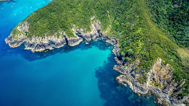
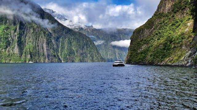
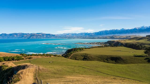
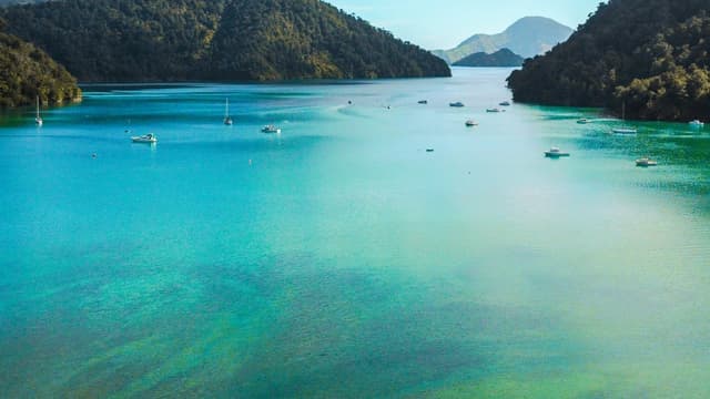
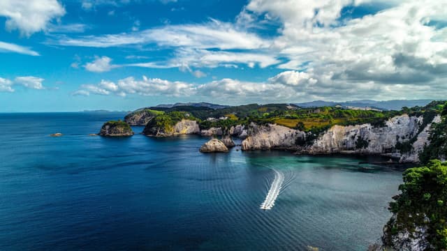
New Zealand is a two-island road-trip country where cold-temperate kelp forests meet subtropical currents in the far north. Divers chase iconic marine reserves like Poor Knights Islands and Bay of Islands, big wrecks in the Marlborough Sounds, and fjord walls in Fiordland. Water temperatures swing roughly 8°C to 23°C depending on latitude and season, so exposure protection matters more than tropical vs cold. Non-divers get equal payoff: Milford Sound cruises, Kaikoura whale watching, beach towns, and hot pools. Planning is all about weather windows, marine reserve rules (no-take), and choosing coasts: the northeast is often calmer and warmer; Cook Strait and the deep south are windier and more demanding but uniquely wild.
No-take protection is a big part of the New Zealand experience, from Poor Knights Islands to Wellington South Coast.
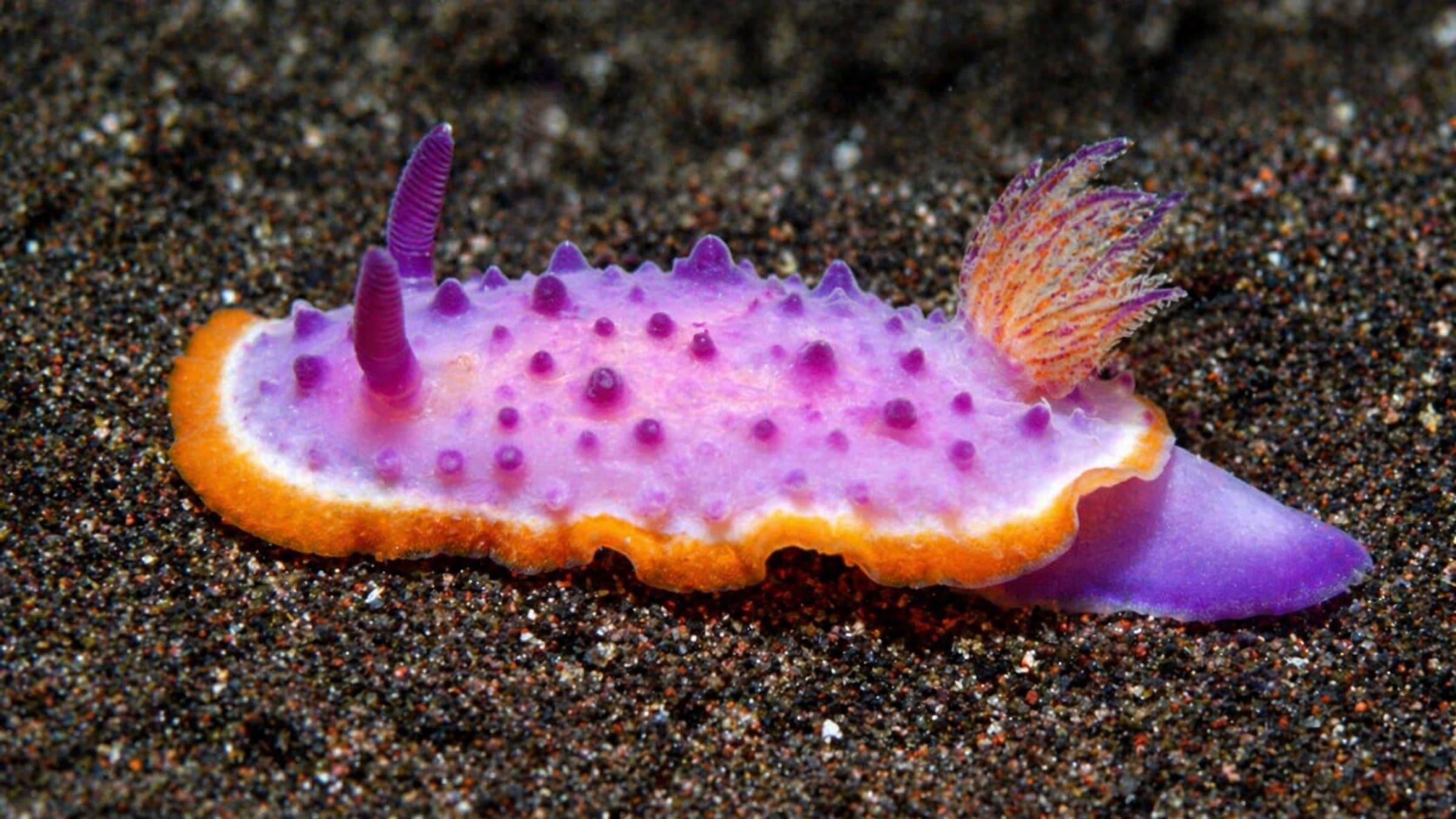
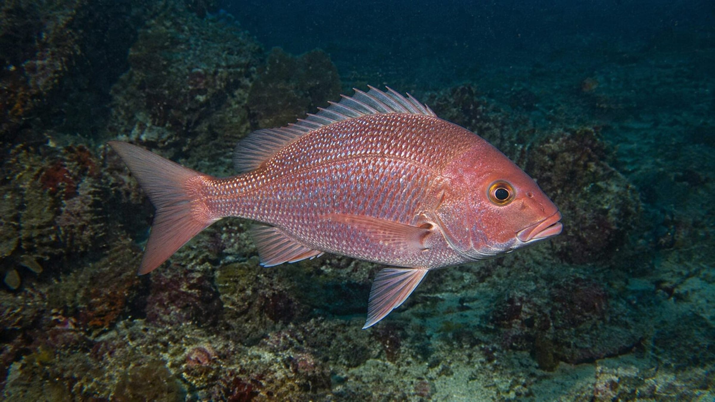
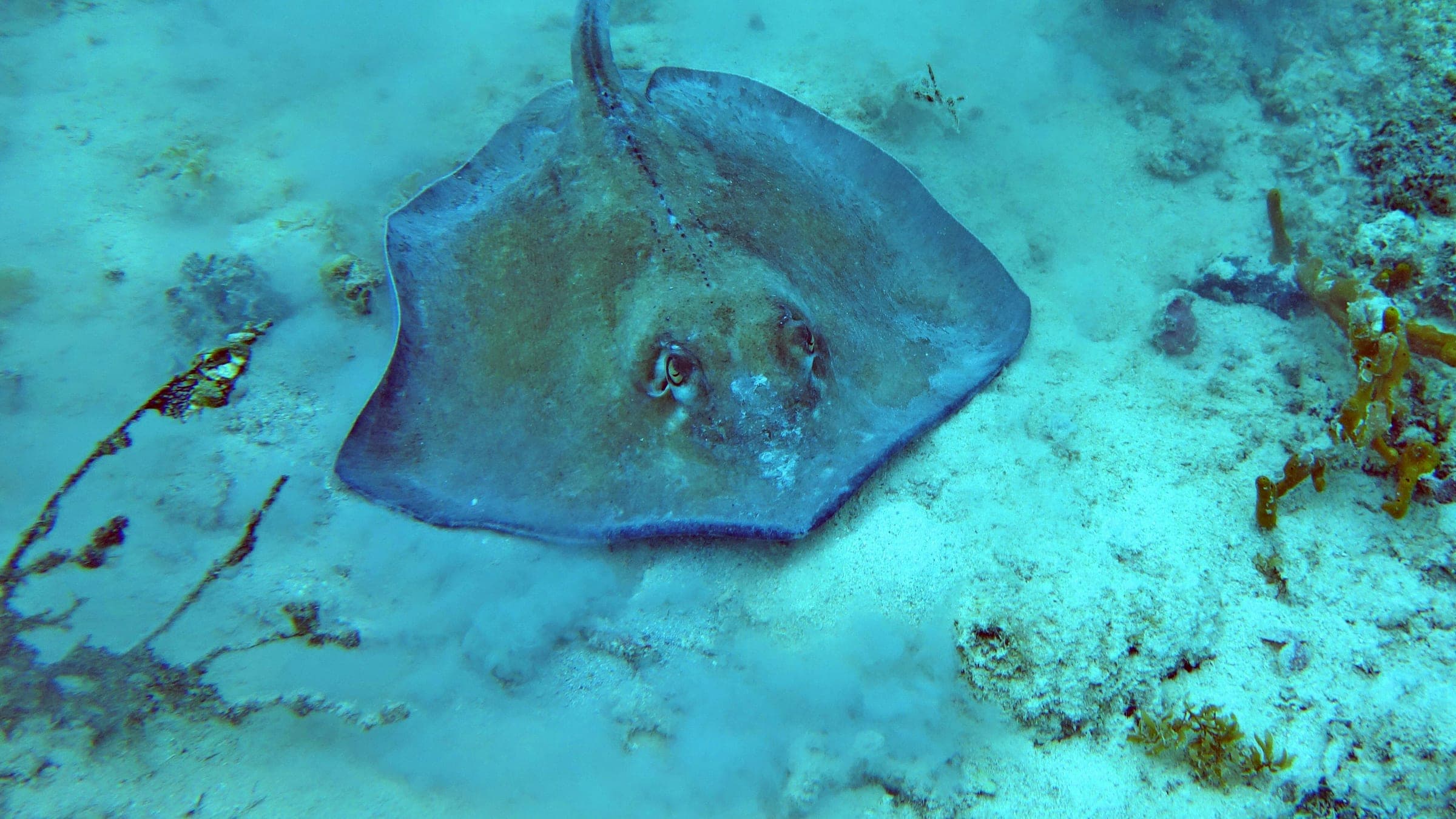
Subtropical-influenced northern islands, kelp forests in the middle latitudes, and fjord walls with black coral in Fiordland.
From the MV Mikhail Lermontov in the Marlborough Sounds to military wrecks off Wellington, there is variety for beginners and advanced divers.
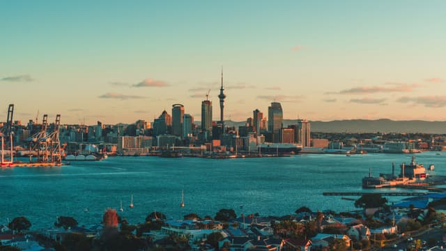
Domestic flights, ferries, and good roads make it realistic to combine North Island highlights with a South Island wilderness finale.
Top species linked to approved dive spots across New Zealand.
Compare destinations and dive spots before opening the full plan.
Best overall window: December - April
Open Season PlannerEntry, transport, and gear planning are split in the dedicated logistics section.
Open LogisticsSafety and conservation guidance is organized by activity and risk.
Open SafetyDiveJourney country guides are living documents built from local knowledge, operator experience, and publicly available sources. Conditions, regulations, and logistics can change. Each guide shows its last update date and sources used.
Last updated: March 4, 2026 • 20 sources
If you see something inaccurate or outdated, you can submit an update. This is how the platform improves.
Receive new destination drops, profile upgrades, and dive map releases.
No spam. Just solid updates when something surfaces.