de.wikipedia.org · Community
Independent lake overview used for recreation and summer-use context.
Murner See Rutsche: shore-access freshwater slide dive with good visibility.
Save it, log a dive, or explore nearby on the map.
Save it to come back later
Murner See Rutsche is an inland freshwater dive on the southern shore of Lake Murner See, where a metal slide drops from the shallows into a much deeper line. The shallow zone has an underwater forest, while the slide itself creates a more dramatic route that suits divers who want a structured lake dive rather than open-water wandering. It is an easy shore entry with very good visibility, but the depth change means planning still matters.
Conservative baseline from public research. No community dives logged yet.
Depth range, seasonality, and planning context.
Reported Depth
5m - 40m
Depth Note
A metal slide begins around 5 m and drops to roughly 40 m.
Best Season
Late spring through early autumn, especially summer when the lake is busiest and easiest to use.
Typical Conditions
Freshwater lake conditions with generally good visibility and no current to consider.
Hazards, restrictions, and access requirements.
Safety Notes
The slide reaches about 40 m, so depth and gas management matter even though access is easy. Stay conservative on depth and watch the slope carefully.
Access Restrictions
Shore access from the southern shore at the slide entrance is the normal approach; watch the depth change because the structure drops quickly.
Community notes to help plan your visit.
Scuba Diving
A metal slide starts in the shallows and continues down to roughly 40 m, offering a clear freshwater profile for deeper lake diving.
Freediving
The shallow forested area can work for relaxed freedives, but the slide itself is a true scuba feature and the main route drops quickly.
Snorkeling
The shallow forest is the best surface-level area, while the slide is best treated as a scuba dive rather than a casual snorkel target.
Use the planner to scan this week, inspect today in local time, and understand how exposure shapes conditions at Murner See Rutsche.
Directional shelter context for incoming swell.
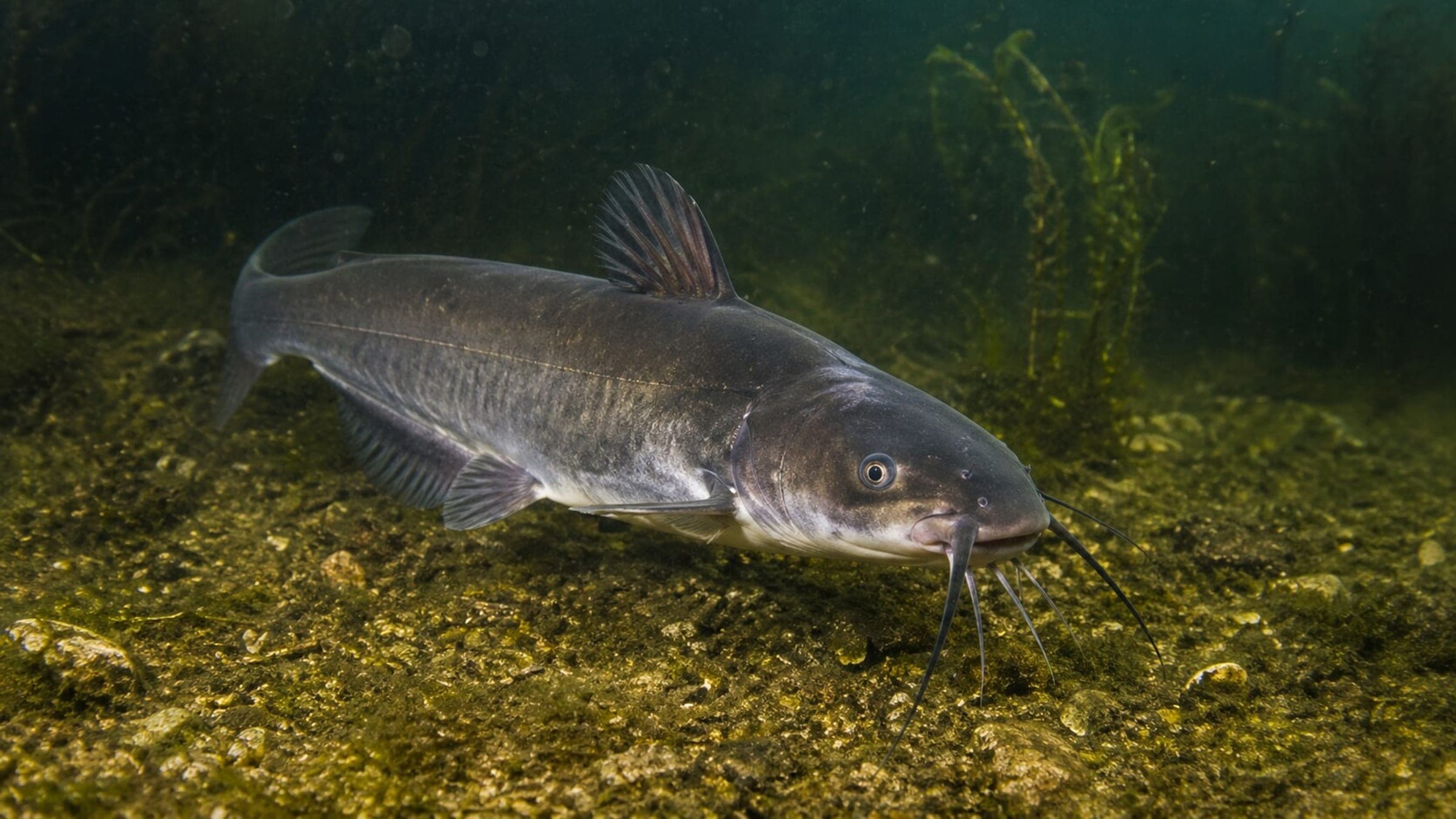
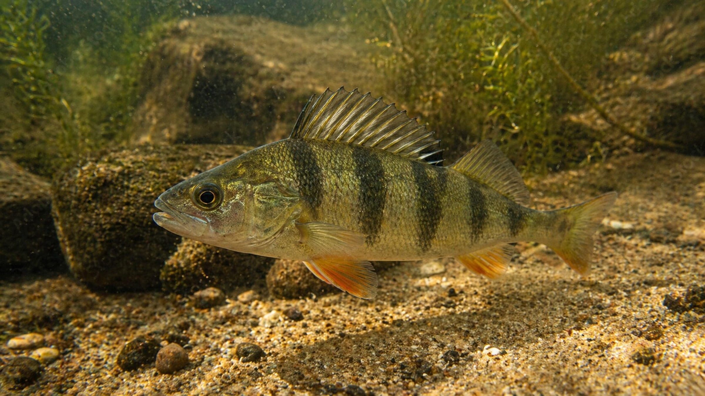
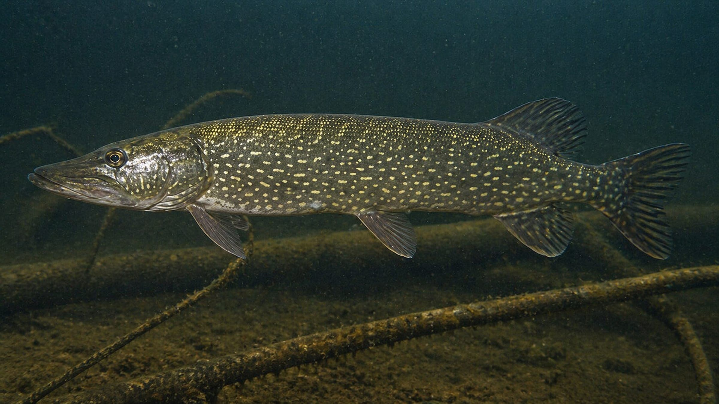
Species commonly reported at this site, with direct links into their wildlife guides.
Community dive logs and visit reports for this site.
No Dive Logs Yet
Be the first to log a dive at this spot and share your experience!
Average conditions based on logged dives & visits.
Planning answers for access, conditions, timing, and site logistics.
Last Updated
Research Sources
Independent lake overview used for recreation and summer-use context.
Official tourism page for lake and water activities in the Oberpfälzer Seenland.
Know this site? Improve Spot Details.

Murner See Badeplatz is a beginner-friendly lake shore dive.
Deep shore-entry lake dive with an underwater forest.
Murner See is an advanced shore dive with clear water and a deep lake profile.
Freshwater training site with easy shore access and platforms.
Shore-entry lake training site with shallow platforms and easy access.
Brückelsee is a reclaimed lake dive with shore entry and shallow shelves.