When To Go Preview
Best overall window: Check country season planner
Open Season Planner
Country Guide
Overview
Welcome to the ultimate guide for snorkeling, freediving, and scuba diving in Canada. With 77 documented dive spots, Canada offers diverse underwater experiences for all skill levels. From vibrant coral reefs to mysterious wrecks, from shallow snorkeling bays to deep freediving drops, discover what makes Canada a must-visit destination for underwater enthusiasts. Our community-driven platform provides real-time conditions, detailed spot information, and local insights to help you plan your perfect diving adventure.
Country guide coming soon. Subscribe to get notified when we publish new country and destination guides.
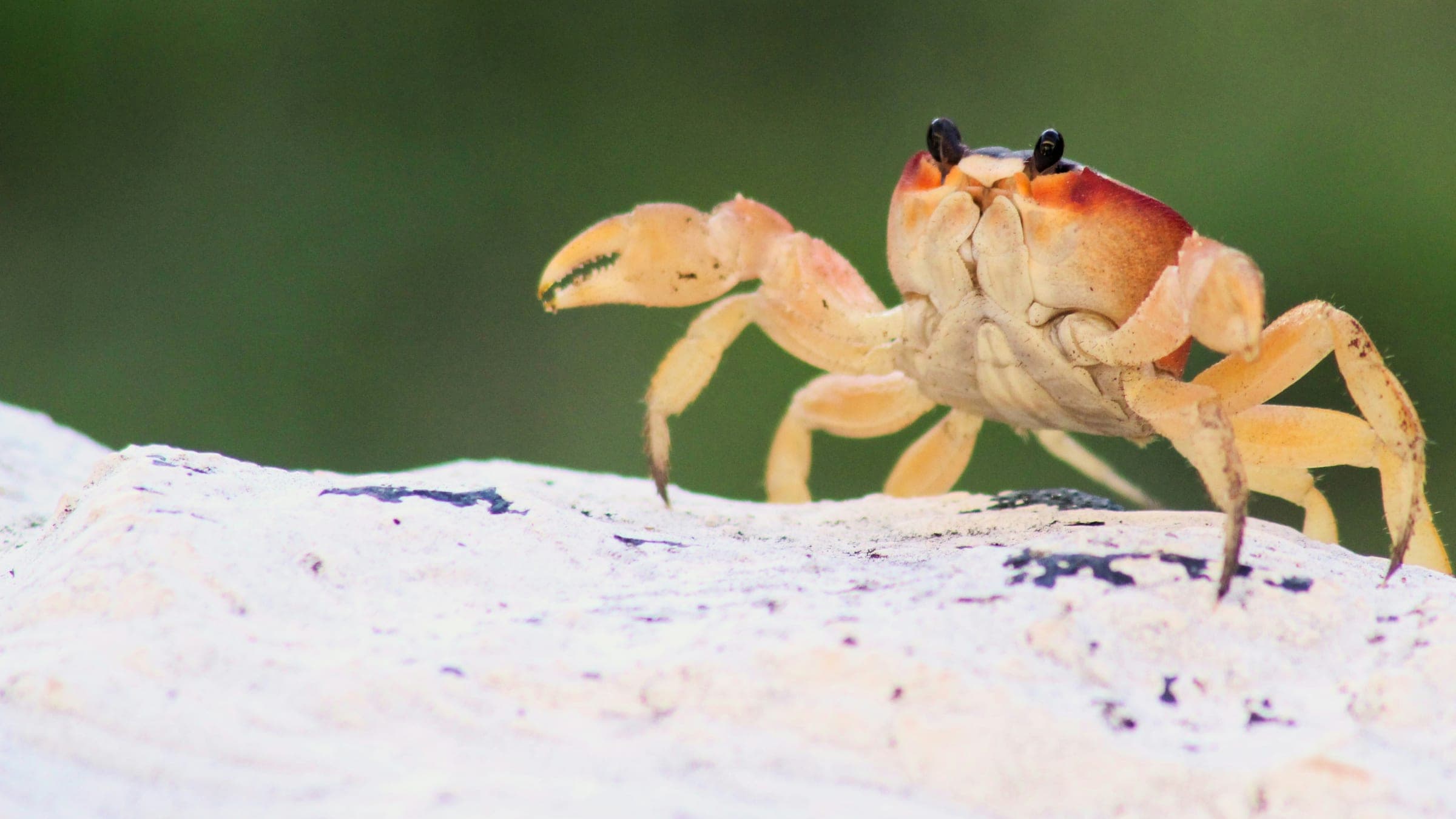
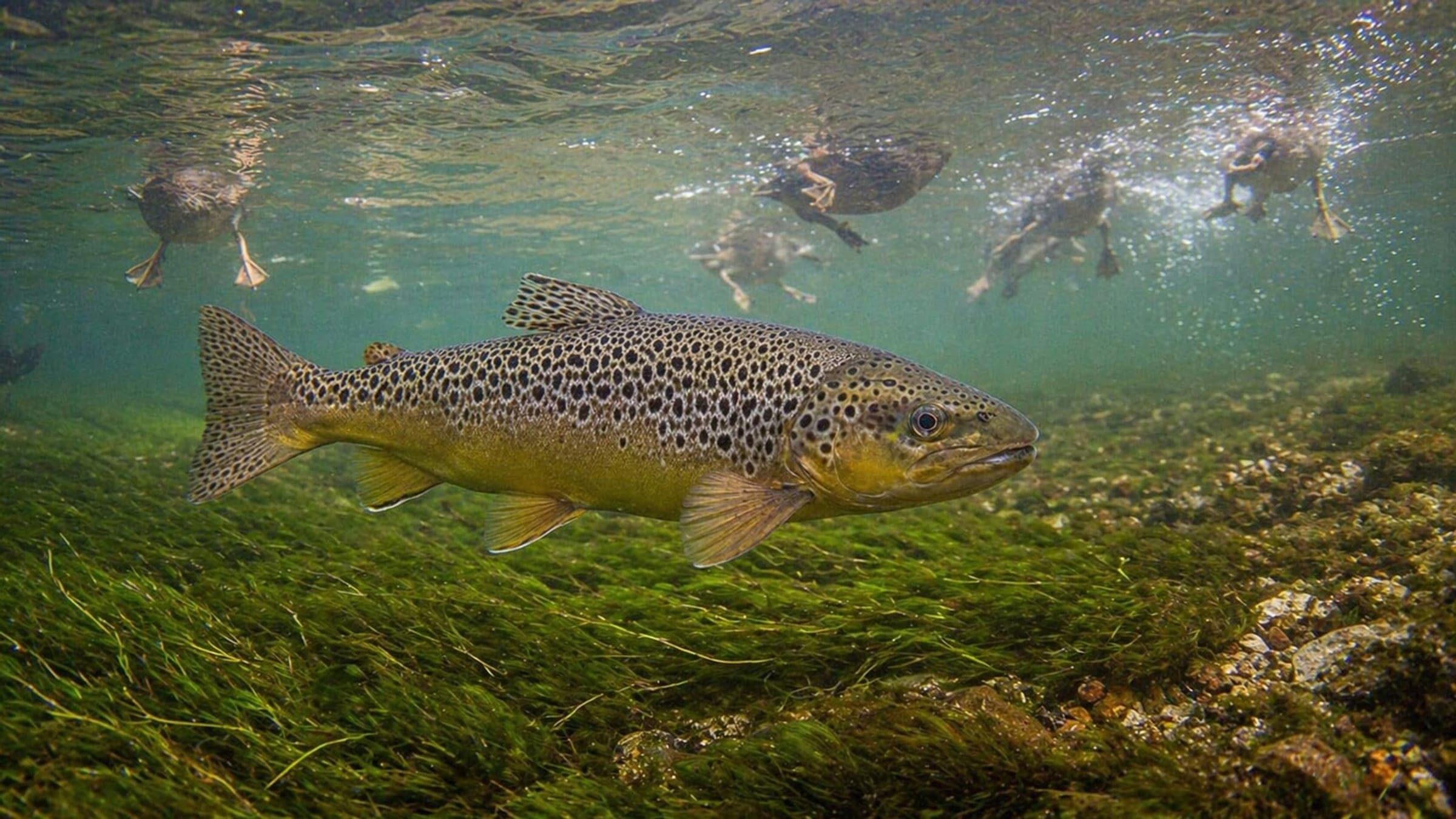
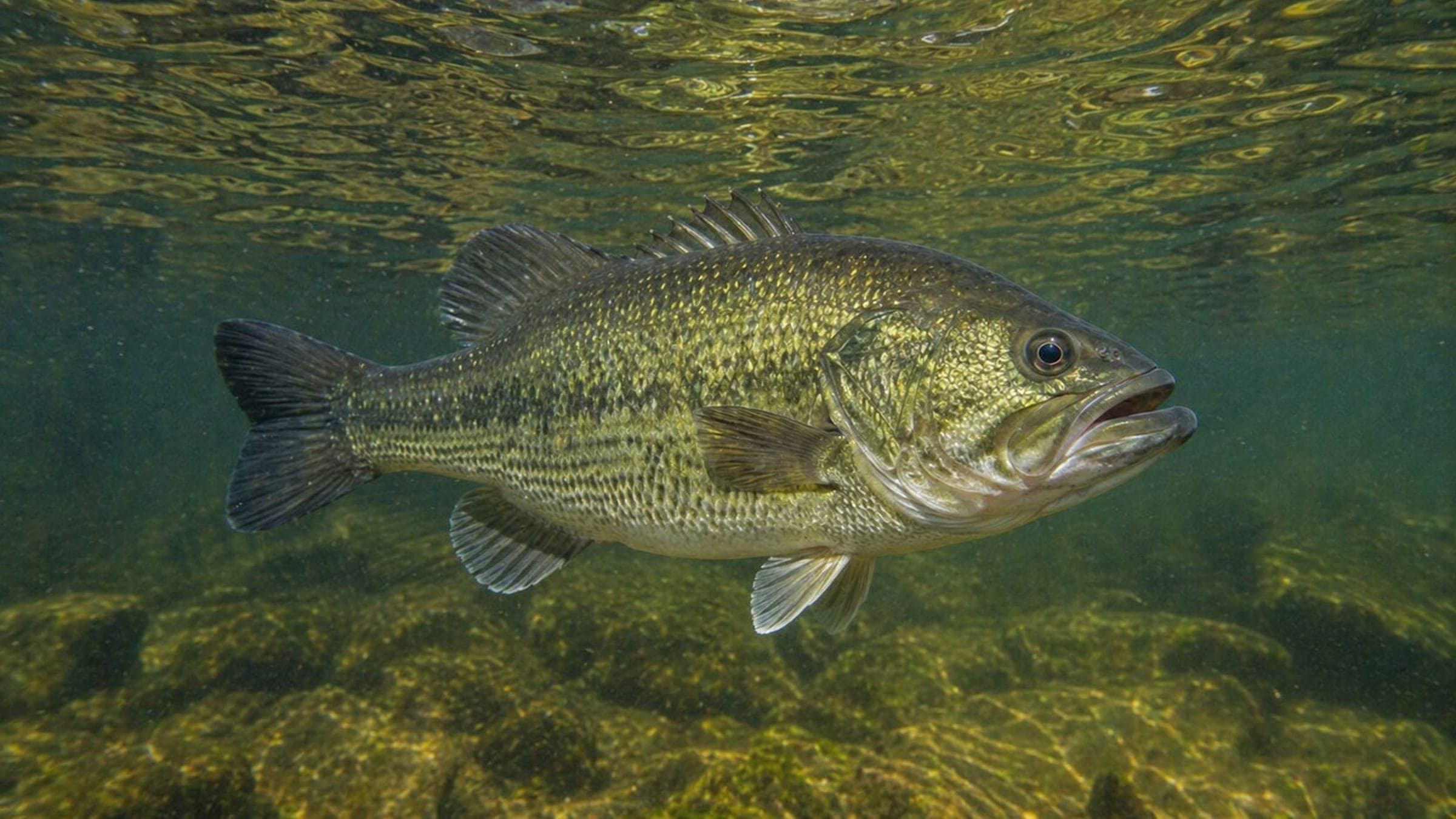
Subscribe to updatesTop species linked to approved dive spots across Canada.
Compare destinations and dive spots before opening the full plan.
Destination cards are being added for this country.
Best overall window: Check country season planner
Open Season PlannerEntry, transport, and gear planning are split in the dedicated logistics section.
Open LogisticsSafety and conservation guidance is organized by activity and risk.
Open SafetyDiveJourney country guides are living documents built from local knowledge, operator experience, and publicly available sources. Conditions, regulations, and logistics can change. Each guide shows its last update date and sources used.
If you see something inaccurate or outdated, you can submit an update. This is how the platform improves.
Receive new destination drops, profile upgrades, and dive map releases.
No spam. Just solid updates when something surfaces.