augusta.ca · Official Municipal
Municipal dive site page with access, history, depth, and legal context.
Rothesay is a beginner-friendly freshwater wreck dive.
Save it, log a dive, or explore nearby on the map.
Save it to come back later
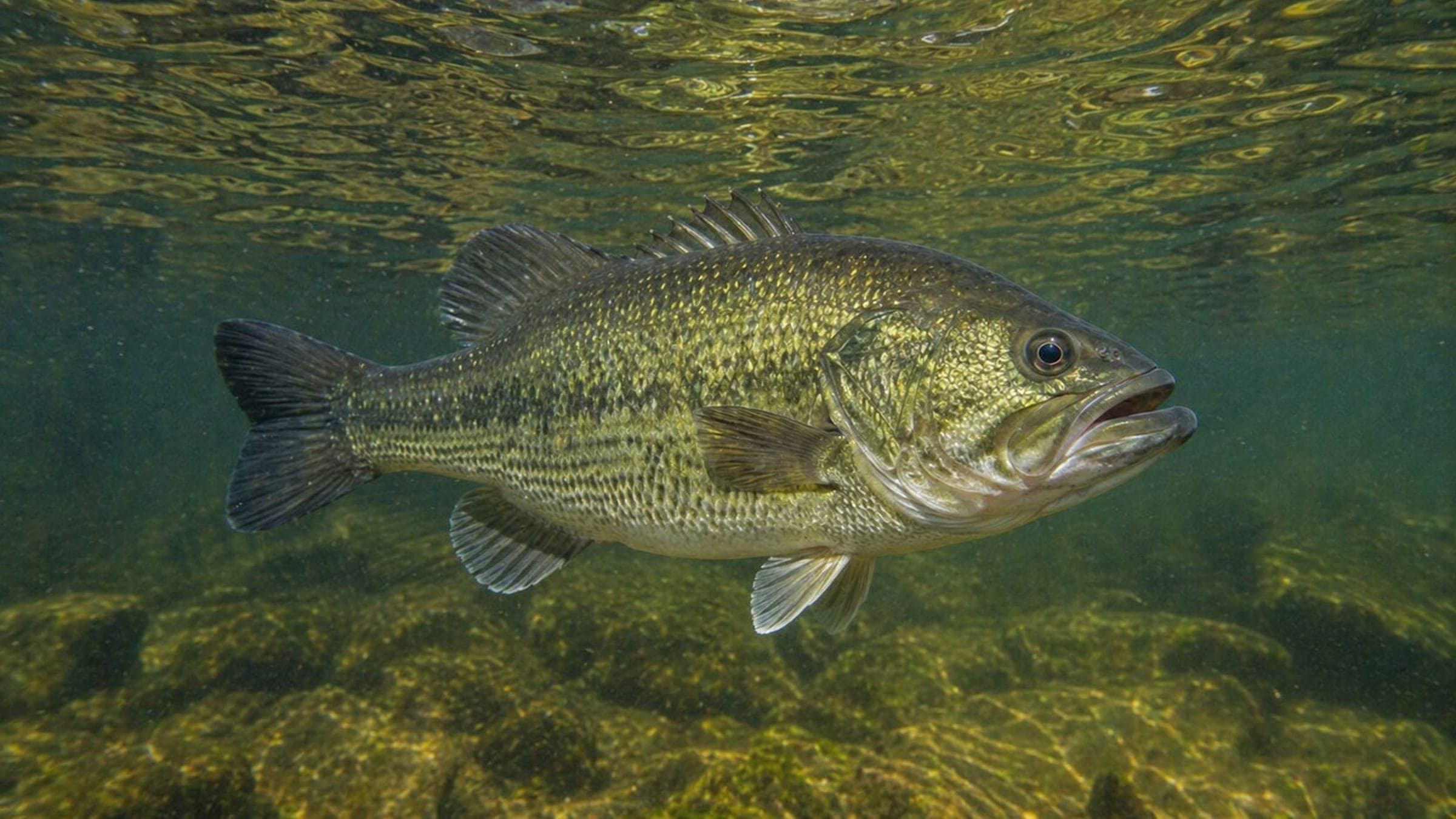
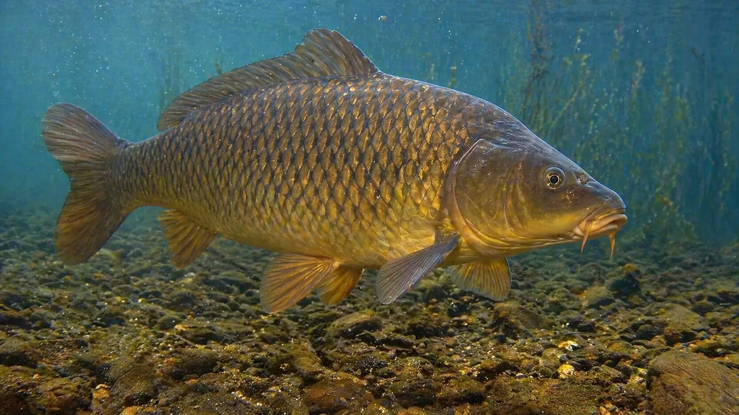
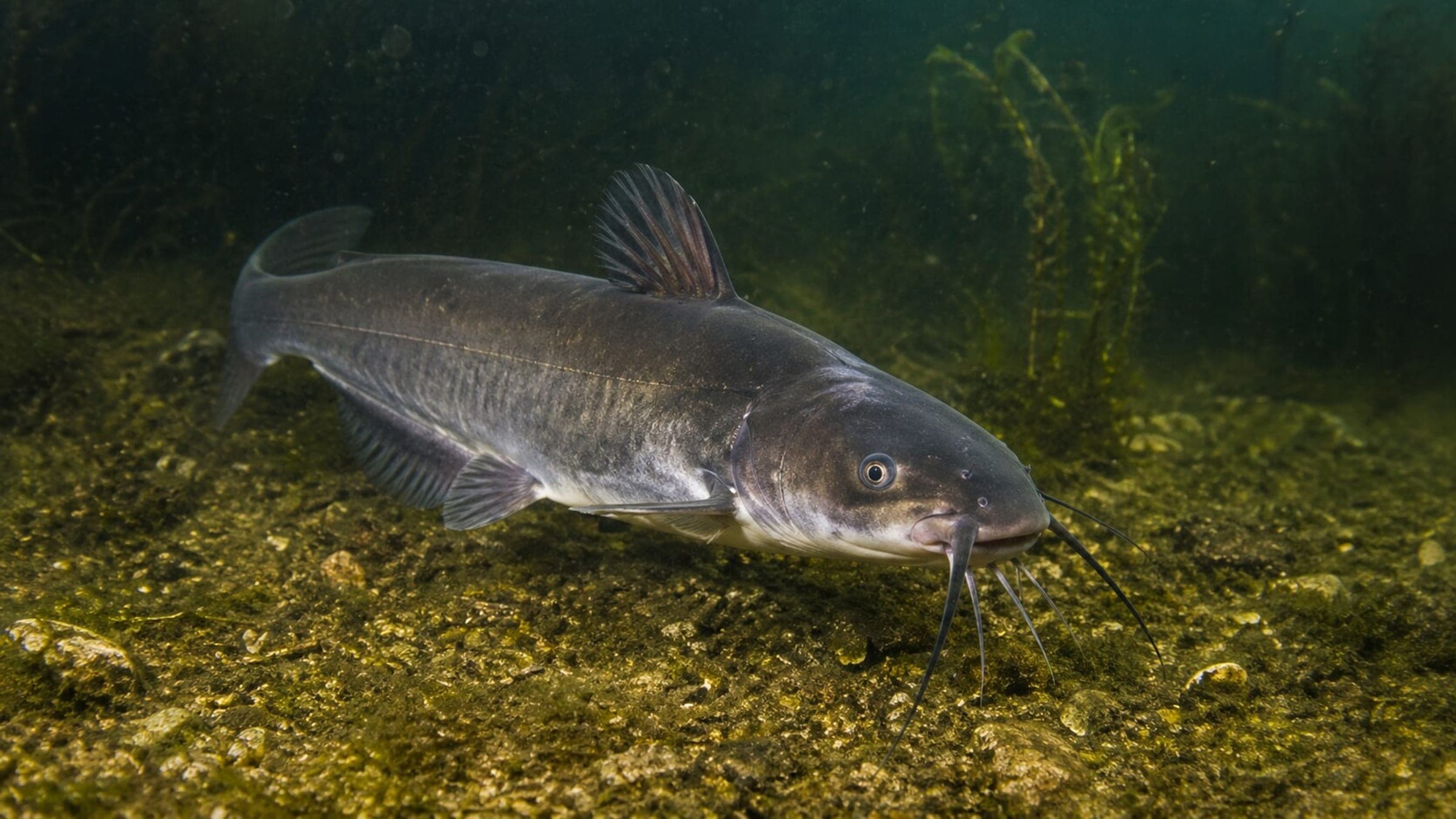
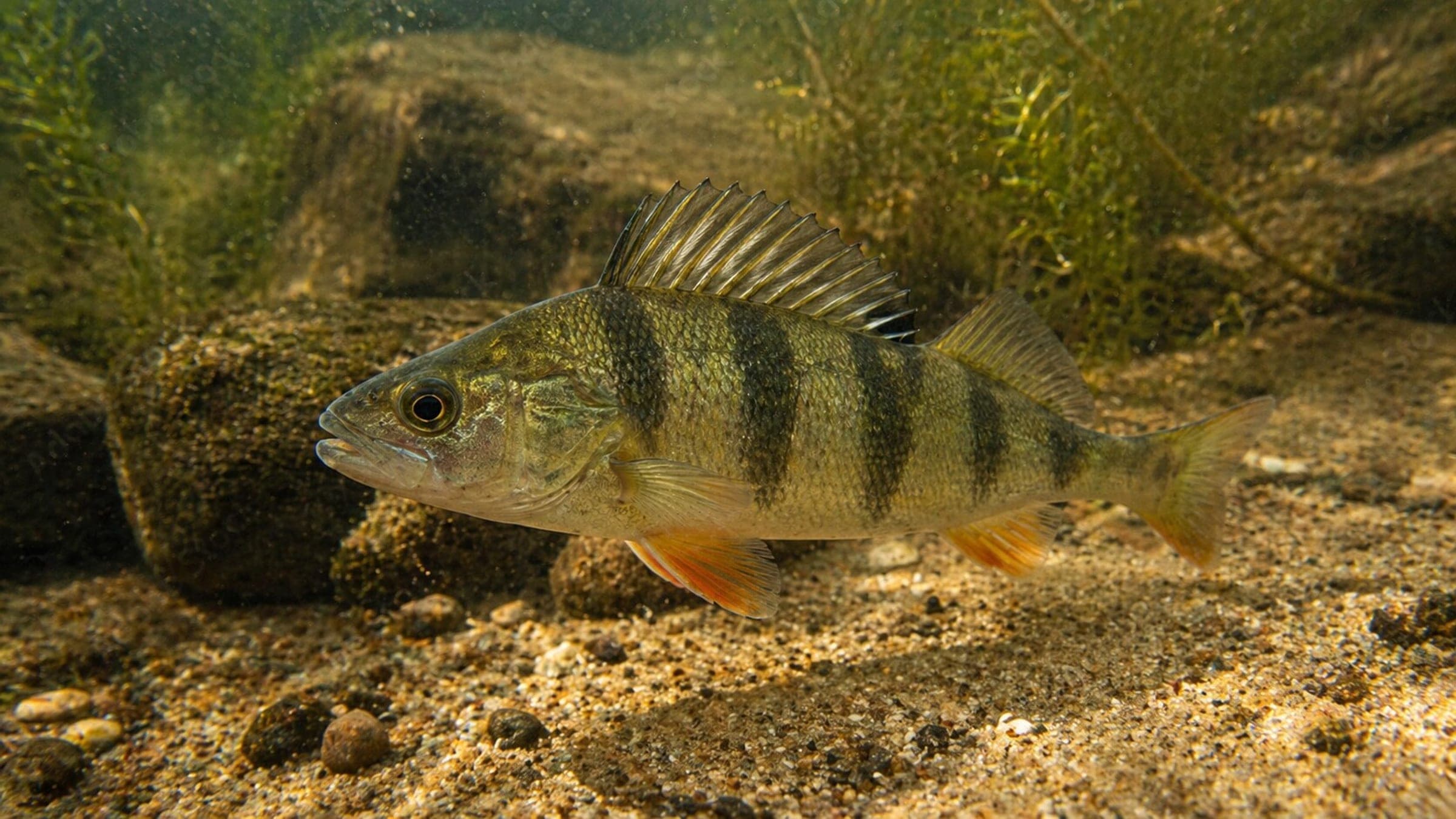
Rothesay is a shallow freshwater wreck dive on the St. Lawrence River with an easy shore entry, a rope-guided route, and a day-use park above the site. It is a popular beginner-friendly local wreck, useful for simple shore dives and buoyancy practice, with a historic side-wheeler to explore rather than reef life. Expect low light inside the holds, a bit of surface current, and freshwater fish around the wreck.
Conservative baseline from public research. No community dives logged yet.
Depth range, seasonality, and planning context.
Reported Depth
6.1m - 9.1m
Depth Note
Upperwork around 20 ft; maximum depth around 30 ft.
Best Season
Spring and fall
Typical Conditions
Shallow river wreck with a rope-guided shore entry, short visibility, and little current at depth.
Hazards, restrictions, and access requirements.
Key Hazards
Safety Notes
Use a diver-down flag, watch fishing line, and bring a light for the chain locker and hold.
Access Restrictions
Shore access is straightforward, but the river is a heavy boat-traffic area and divers should use a diver-down flag.
Legal Notes
Rothesay is a Marine Historical Site in Ontario; removal of any material is illegal.
Community notes to help plan your visit.
Scuba Diving
A shallow freshwater wreck with easy shore access and a rope-guided route to the bow and stern.
Freediving
Not a freedive focus; the wreck is better suited to scuba and line-guided exploration.
Snorkeling
Not a snorkeling showcase; the main draw is the wreck itself underwater.
Use the planner to scan this week, inspect today in local time, and understand how exposure shapes conditions at Rothesay.
Directional shelter context for incoming swell.
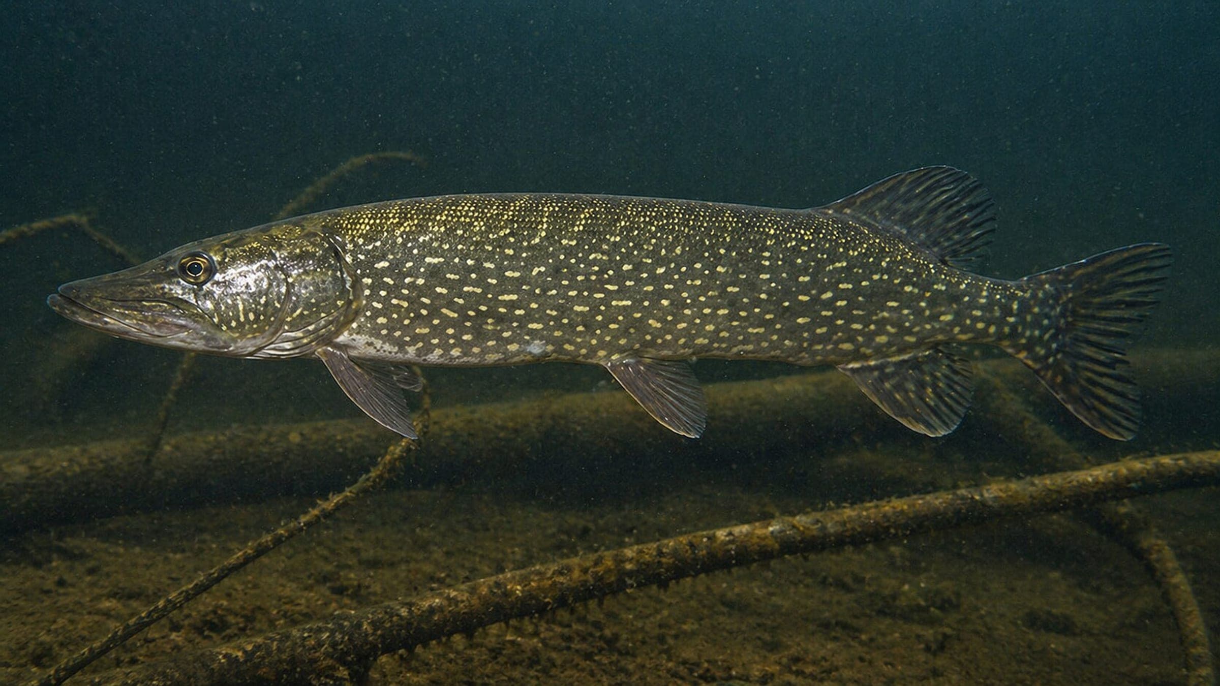
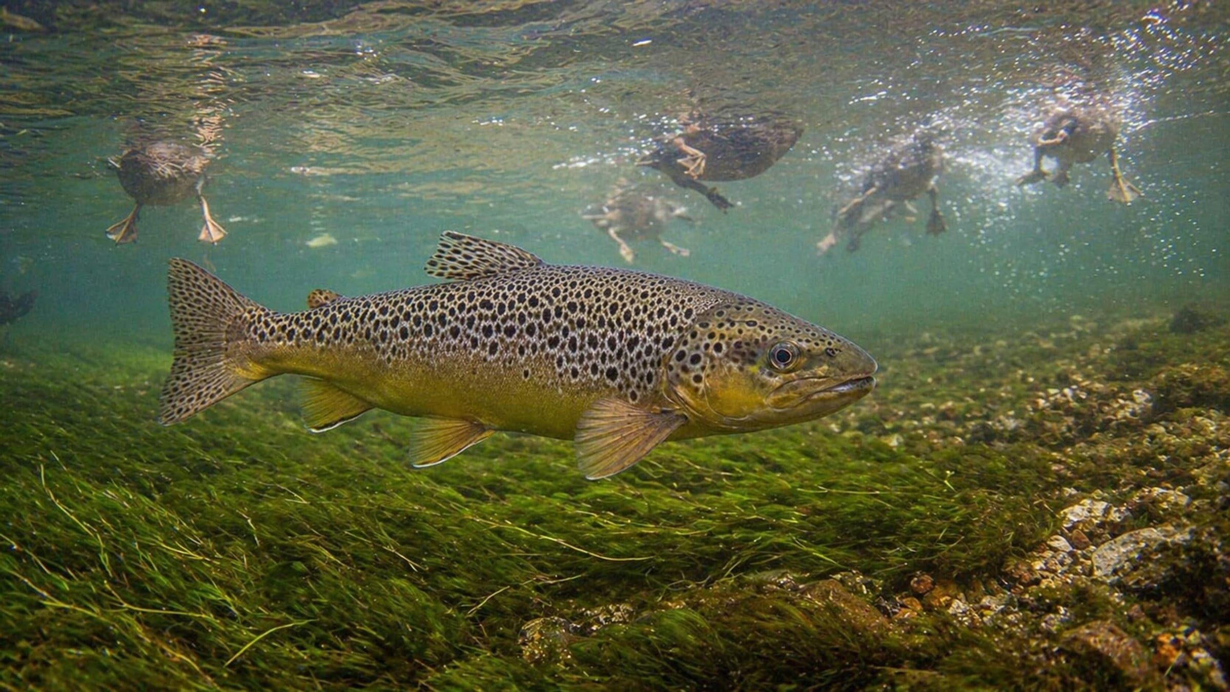
Species commonly reported at this site, with direct links into their wildlife guides.
Community dive logs and visit reports for this site.
No Dive Logs Yet
Be the first to log a dive at this spot and share your experience!
Average conditions based on logged dives & visits.
Planning answers for access, conditions, timing, and site logistics.
Last Updated
Research Sources
Municipal dive site page with access, history, depth, and legal context.
Regional St. Lawrence wreck-diving guide with local shops and tour context.
Operator page with access, depth, visibility, current, and hazard info.
Supports park, picnic, and day-use amenities above the river entry.
Know this site? Improve Spot Details.

Wee Hawk is a shallow Cardinal wreck with silt-sensitive visibility.
Conestoga is a shallow shore wreck on the St. Lawrence.
Freshwater sculpture dive with stairs, benches, and easy shore access.
Robert Gaskin is a classic St. Lawrence wreck dive.
Lillie Parsons: upside-down wreck drift dive