en.wikivoyage.org · Community
Shore access, visibility, current, gate, and facility details.
Freshwater quarry with shore access, training platforms, and still water
Save it, log a dive, or explore nearby on the map.
Save it to come back later
Freshwater dive quarry near Brits in South Africa, with clean spring-fed water, multiple training platforms, and a deep quarry profile. It is a practical inland training and recreation site for beginner through instructor-level divers, with shore access, still water, and a layout built around submerged vehicles, objects, and silt management.
Conservative baseline from public research. No community dives logged yet.
Depth range, seasonality, and planning context.
Reported Depth
0.5m - 33m
Best Season
Year-round, with winter often a bit clearer.
Typical Conditions
Freshwater quarry, shore access, training platforms, submerged vehicles and objects, still water, and thermoclines.
Hazards, restrictions, and access requirements.
Key Hazards
Safety Notes
Watch the silt, stay off the bottom, and use the training platforms rather than disturbing the quarry floor.
Access Restrictions
The main gate is locked overnight, and an entrance fee applies.
Legal Notes
No permit is required, but follow the gate and on-site rules.
Community notes to help plan your visit.
Scuba Diving
Used for both training and recreational scuba diving, with installed grids and submerged objects.
Freediving
Still water and the shallow platforms can suit basic breath-hold drills, but the site is primarily a scuba quarry.
Snorkeling
Snorkeling is secondary here; the site is better known for scuba training and quarry dives.
Use the planner to scan this week, inspect today in local time, and understand how exposure shapes conditions at Miracle Waters.
Directional shelter context for incoming swell.
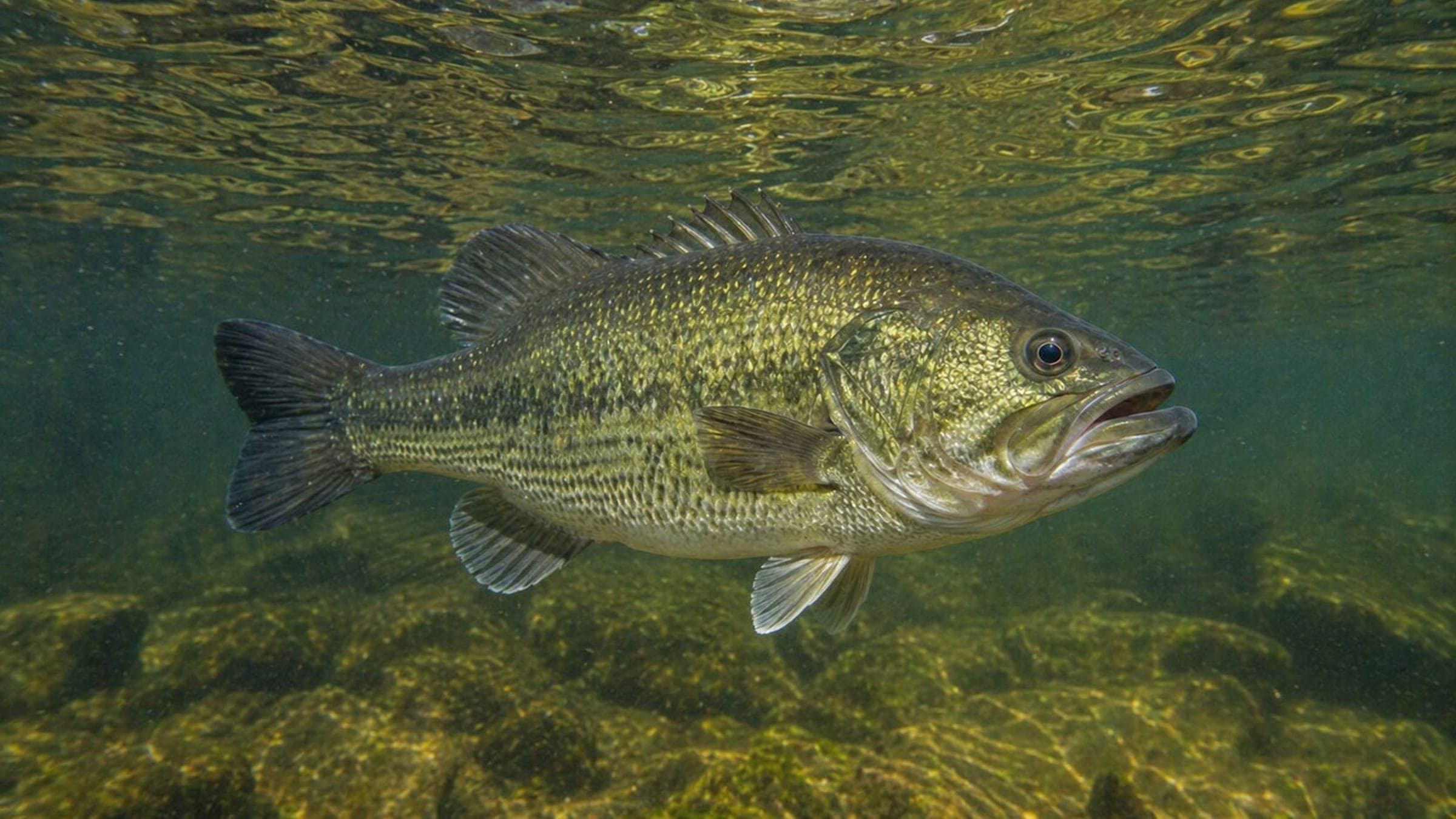
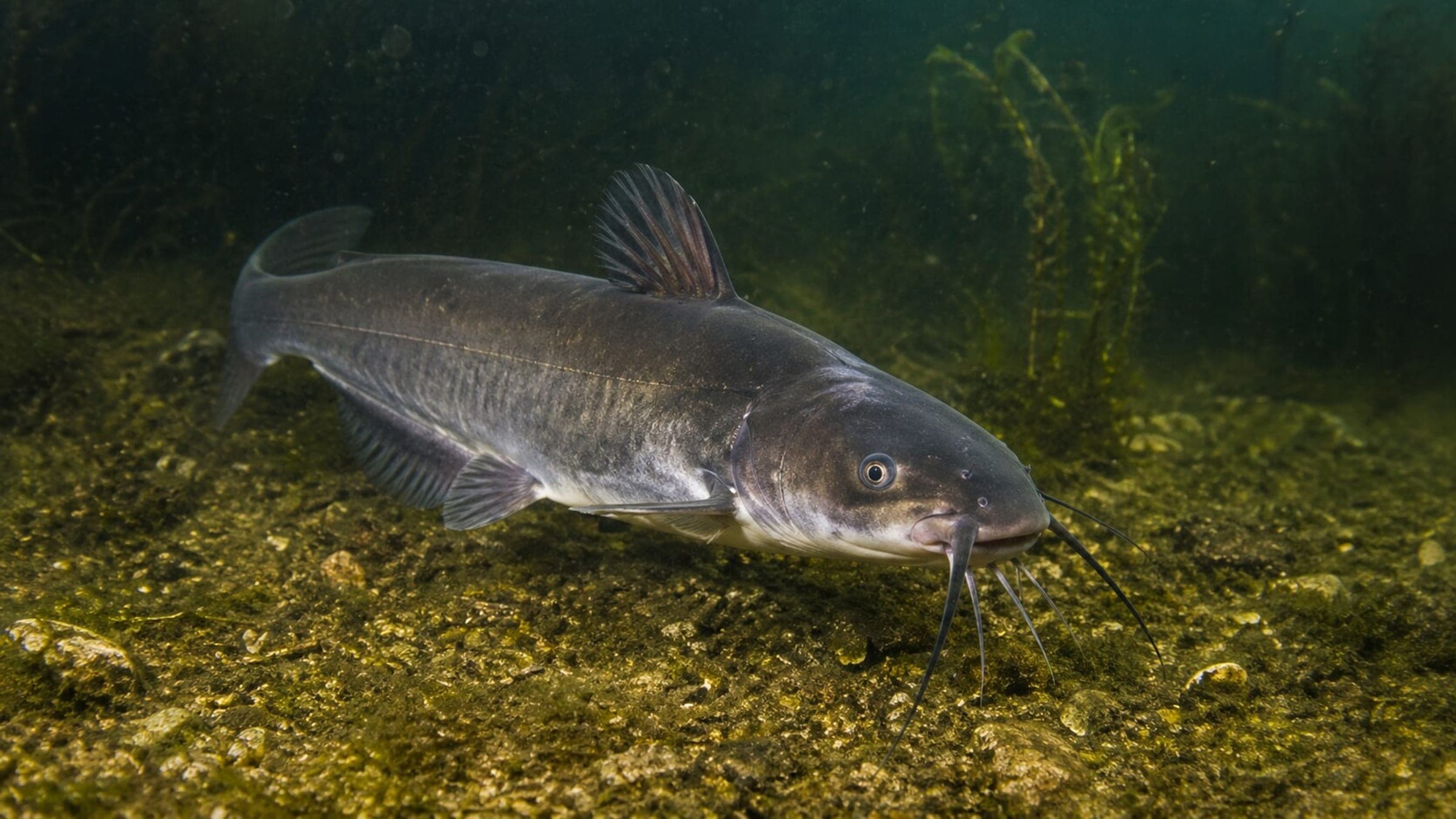
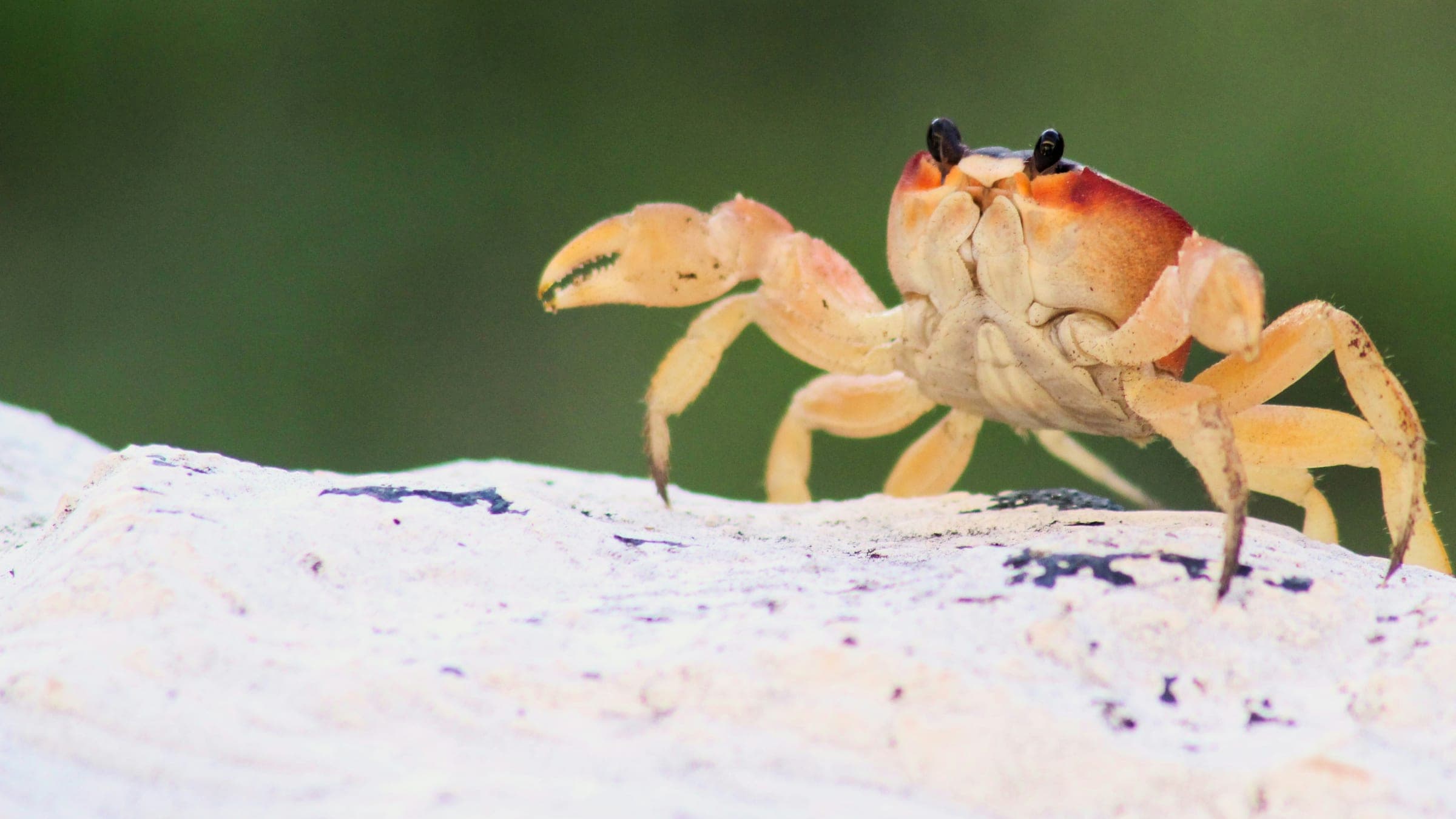
Species commonly reported at this site, with direct links into their wildlife guides.
Community dive logs and visit reports for this site.
No Dive Logs Yet
Be the first to log a dive at this spot and share your experience!
Average conditions based on logged dives & visits.
Planning answers for access, conditions, timing, and site logistics.
Last Updated
Research Sources
Shore access, visibility, current, gate, and facility details.
Depth, visibility, facilities, and quarry-layout details.
Training platforms, compressor room, and on-site dive support.
Know this site? Improve Spot Details.

Freshwater quarry lake and training venue south of Johannesburg.