environment.gov.vu · Government
States that a historical marine reserve on Santo was established under the Fisheries Act to protect the President Coolidge wreck.
Shore-access WWII wreck on Espiritu Santo
A local guide is strongly recommended for navigation, safety briefings, and any penetration.
SS President Coolidge (Wreck) is the wreck-focused listing for Espiritu Santo’s most famous dive. The hull lies on its side with a shore-access starting point, then opens into decks, cargo spaces, and deeper sections that demand careful gas, light, and exit planning. It is a guided wreck dive for confident divers who want history, penetration options, and marine life on one site.
Conservative baseline from public research. No community dives logged yet.
Depth range, seasonality, and planning context.
Reported Depth
20m - 65m
Depth Note
The wreck begins around 20 m and extends into much deeper sections on the stern and inside the hull.
Best Season
Dry season, April to October, usually gives the most comfortable conditions.
Typical Conditions
Protected harbor water with generally mild current, though tidal shifts can change the feel and deeper routes require strict gas management.
Hazards, restrictions, and access requirements.
Key Hazards
Safety Notes
Penetration requires training, lights, and a disciplined exit plan. Depth and silt are the main risks on the deeper routes.
Access Restrictions
Use a local guide for navigation and any interior exploration.
Legal Notes
Do not remove artifacts; the wreck is protected as a historical marine reserve.
Community notes to help plan your visit.
Scuba Diving
Best explored on guided scuba dives with lights, good buoyancy, and conservative gas planning.
Use the planner to scan this week, inspect today in local time, and understand how exposure shapes conditions at SS President Coolidge (Wreck).
Directional shelter context for incoming swell.
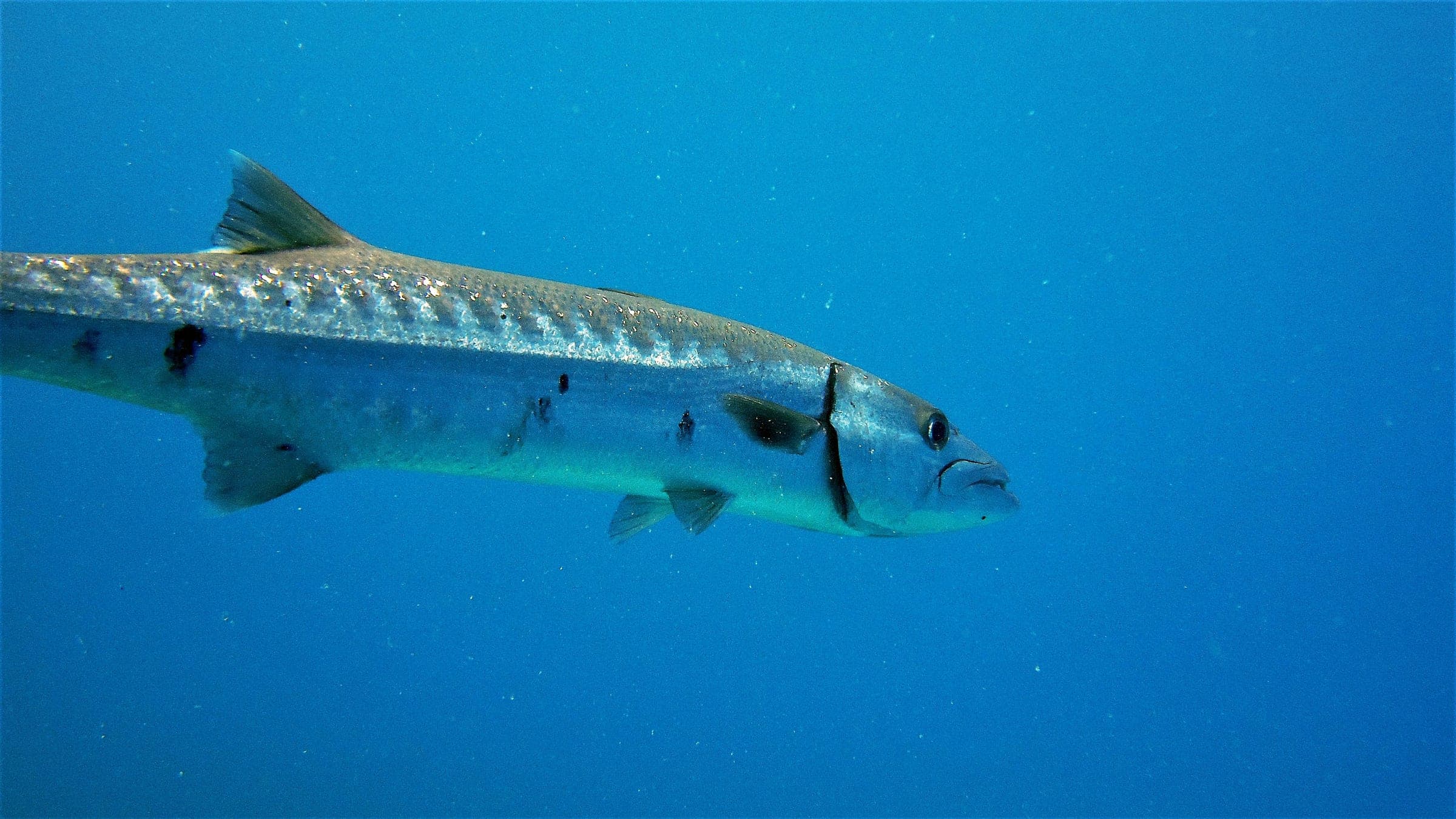
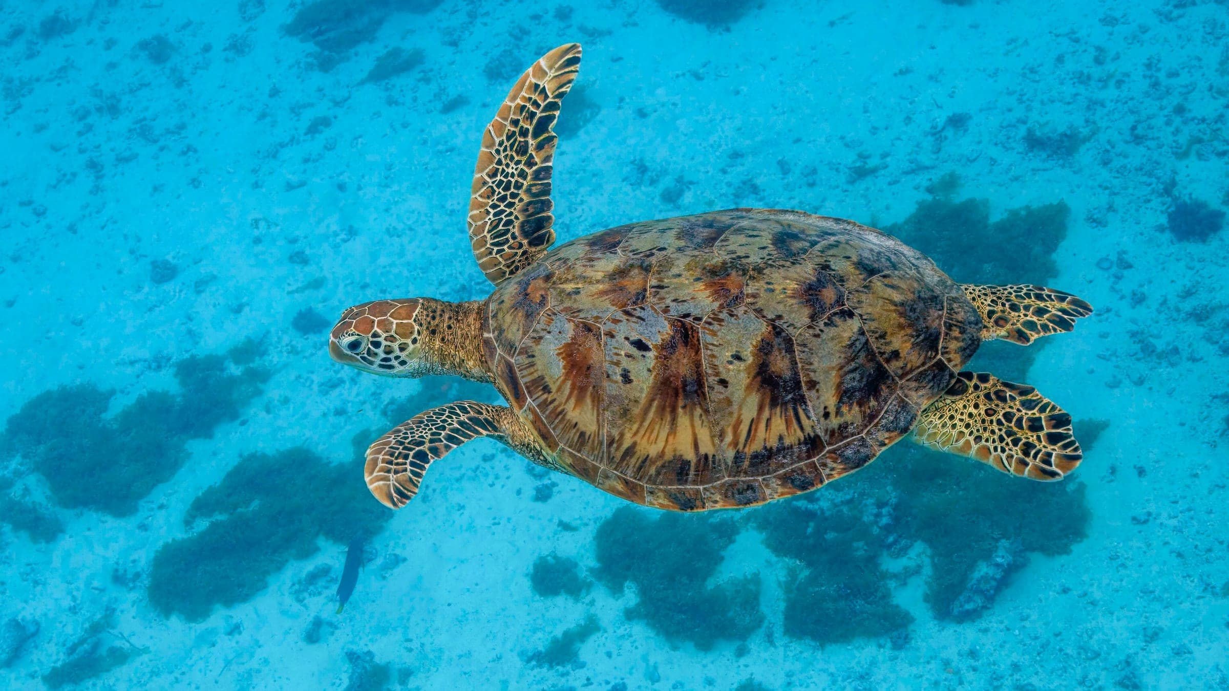
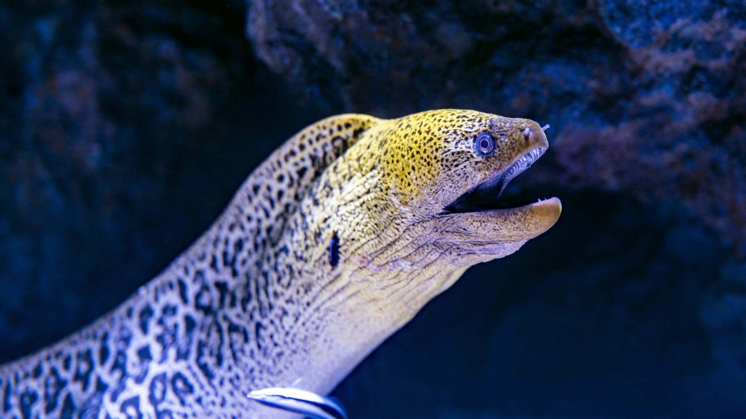
Species commonly reported at this site, with direct links into their wildlife guides.
Community dive logs and visit reports for this site.
No Dive Logs Yet
Be the first to log a dive at this spot and share your experience!
Average conditions based on logged dives & visits.
Planning answers for access, conditions, timing, and site logistics.
Last Updated
Research Sources
States that a historical marine reserve on Santo was established under the Fisheries Act to protect the President Coolidge wreck.
Describes the wreck as coral-encrusted and notes barracuda, reef fish, sea turtles, and reef sharks around the site.
Official tourism guide describing the wreck as over 200 m long, with the stern at about 70 m and detailed orientation/route information.
Explains shore entry from Second Channel, generally mild currents, and typical visibility around 10-30 m.
Know this site? Improve Spot Details.