www.getmyboat.com · Guide
Guided excursion page with pricing and support details.
Carinthian reservoir dive with a sunken mill
Carinthian reservoir dive with a sunken mill
Save it, log a dive, or explore nearby on the map.
Save it to come back later
Guided excursions are a normal way to dive Freibacher Stausee.
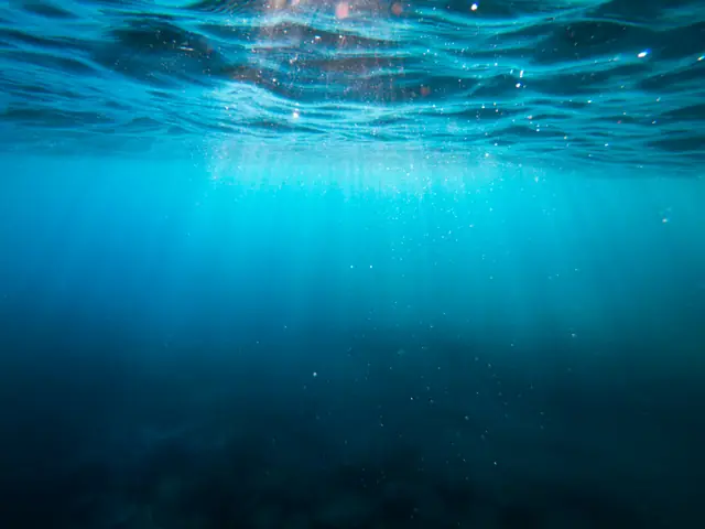
Freibacher Stausee is a clear-water Carinthian reservoir dive built around old stream-bed structure, a sunken sawmill, and a creek confluence where fish gather. It is a shore-access freshwater site rather than a reef, so the appeal comes from relic hunting, calm water, and the way the lake structures the dive around the old mill and the submerged edges. Guided excursions and local dive shops make it straightforward to organize as a beginner-friendly lake dive.
Conservative baseline from public research. No community dives logged yet.
Depth range, seasonality, and planning context.
Reported Depth
7m - 20m
Depth Note
The old stream bed and sawmill remains are around 7 m depth, with the reservoir descending to roughly 20 m in total.
Best Season
Summer and early autumn, when the water is clearest.
Typical Conditions
Calm freshwater with a sunken mill, old stream-bed features, and fish concentrated around the creek confluence.
Hazards, restrictions, and access requirements.
Key Hazards
Safety Notes
Follow guide briefings and local access rules; the site is easy water but still a structured training lake.
Access Restrictions
Use the marked road approach or a guided excursion rather than improvising entry.
Legal Notes
Follow local lake access rules and any guide requirements.
Community notes to help plan your visit.
Scuba Diving
Beginner-friendly freshwater relic diving with old stream bed, sawmill remains, and fish around the confluence.
Freediving
Shallow practice is possible in the clear water, but scuba is the main use.
Snorkeling
The clear reservoir and shallow relics make limited snorkeling or surface exploration possible.
Community dive logs and visit reports for this site.
Average conditions based on logged dives & visits.
Last Updated
Research Sources
Guided excursion page with pricing and support details.
Operator trip report showing the sunken mill and discovery-style dive.
Geopark event page describing the reservoir's clear water.
Know this site? Improve Spot Details.
Shore-entry freshwater lake dive with a marked attraction route.
Former Klagenfurt training pool for scuba and freediving practice.
Maria Loretto: lido-based Wörthersee training dive.
Strandbad Maiernigg: beginner freshwater dive on Wörthersee.
North-shore lake dive with a wreck feature, rock walls, and good visibility.
Shore-entry wall dive with submerged trees and permit-based access.