www.erlaufsee.eu · Official Site
Dive rules, altitude guidance, and lake-life context.
Harrys Steg: shore entry to wall and pike meadow.
Harrys Steg: shore entry to wall and pike meadow.
Save it, log a dive, or explore nearby on the map.
Save it to come back later
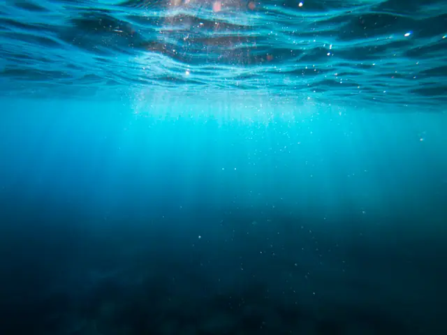
Harrys Steg is a shore-access freshwater site at Erlaufsee with stairs down to a jetty, a short route to platforms and a rock wall on one side, and a shallow weedy pike meadow on the other. It is a mountain-lake dive with a simple shoreline approach, so plan for cold water, altitude corrections, and visibility that can change with spring melt and weather while still giving divers a clear, structured route and steady freshwater fish interest.
Conservative baseline from public research. No community dives logged yet.
Depth range, seasonality, and planning context.
Reported Depth
7m - 25m
Depth Note
Left side “pike meadow” to about 7 m; right side rock wall reaches about 25 m.
Best Season
Late spring through early autumn, with clearer water often in colder periods and spring melt the least favorable stretch.
Typical Conditions
Cold alpine-lake conditions, usually calm at the surface; clarity is often strongest outside spring melt, and the water layers can stay cool below.
Hazards, restrictions, and access requirements.
Safety Notes
Treat this as a mountain-lake dive: plan altitude corrections, bring cold-water protection, and stay conservative if spring runoff has reduced clarity.
Access Restrictions
Dive-card proof is required; night and ice diving need separate permission from the owner, and underwater propulsion devices are not allowed.
Legal Notes
Erlaufsee straddles the Lower Austria and Styria border. Special-use dives such as night or ice dives need permission from Osterreichische Bundesforste AG.
Community notes to help plan your visit.
Scuba Diving
The right side offers platforms that lead toward a rock wall, while the left side stays shallow and weedy around the pike meadow.
Freediving
Use the shallow meadow side only and keep freedives conservative because the site is cold-water and the structure drops away on one side.
Snorkeling
Snorkeling is limited to the sheltered shallows and is best on calm, clear days. The wall section is for scuba planning.
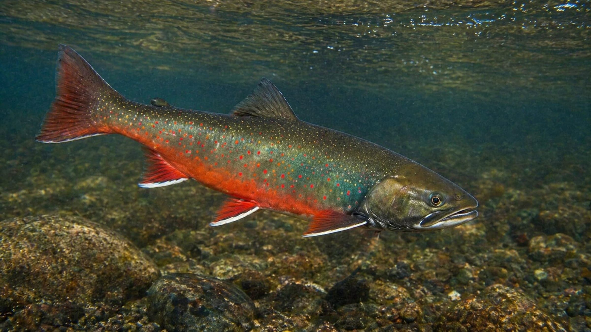
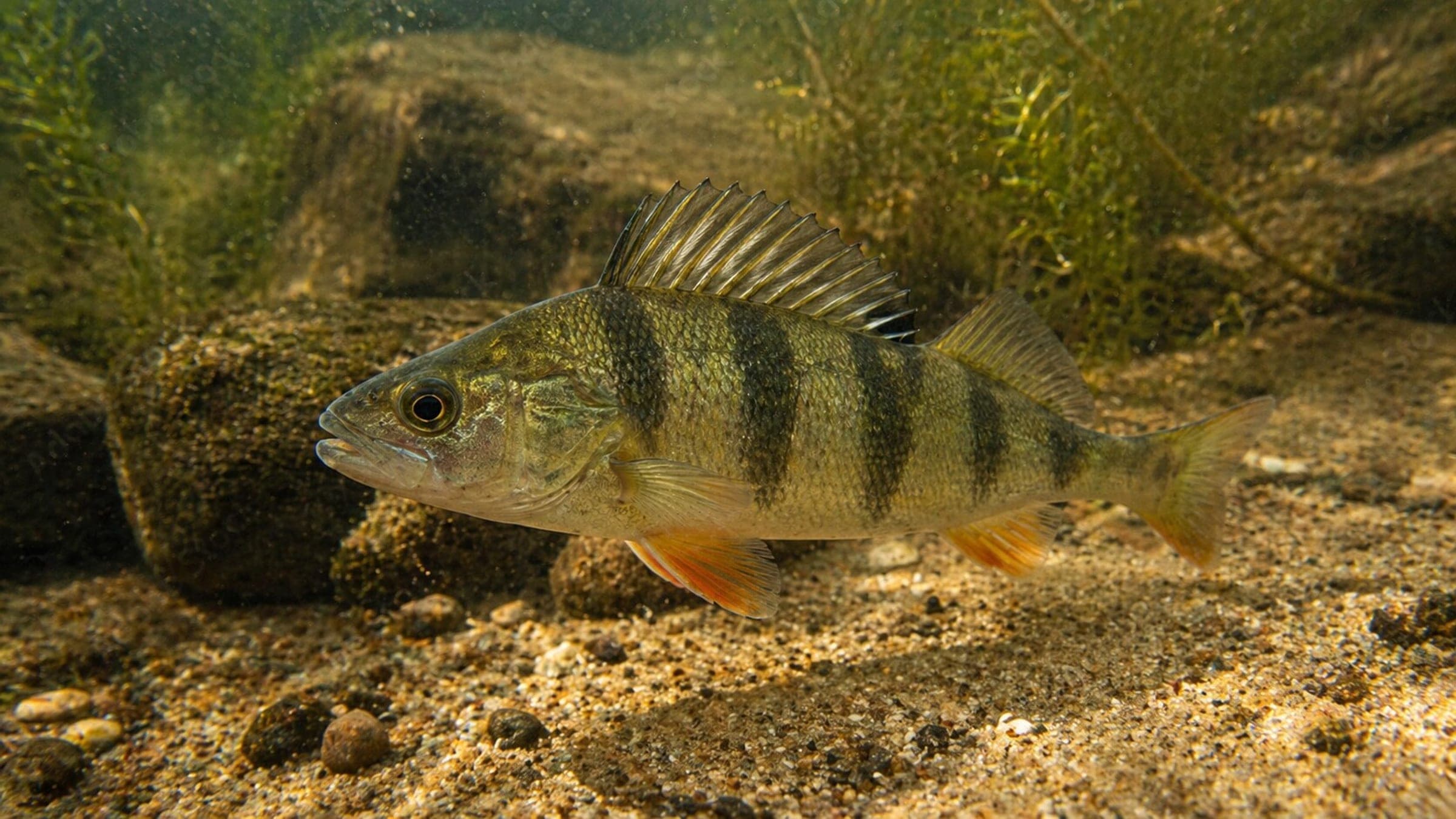
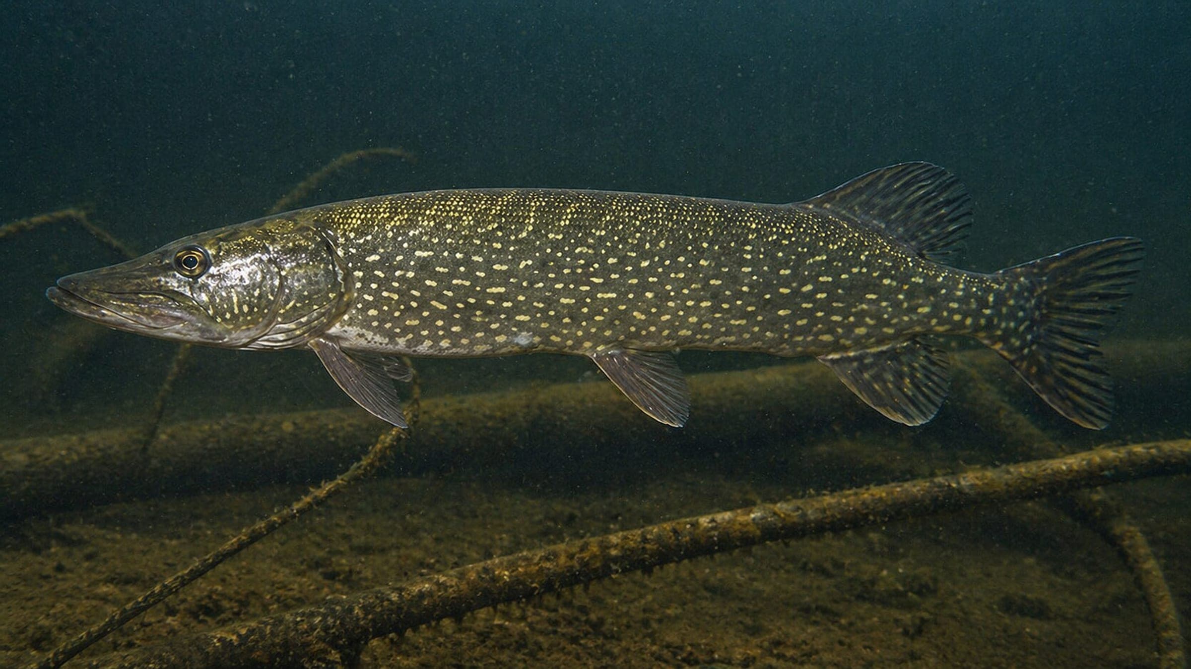
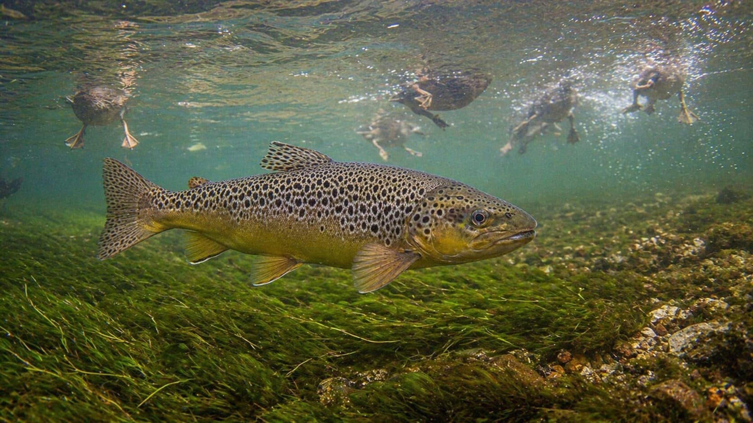
Species commonly reported at this site, with direct links into their wildlife guides.
Community dive logs and visit reports for this site.
Average conditions based on logged dives & visits.
Planning answers for access, conditions, timing, and site logistics.
Last Updated
Research Sources
Dive rules, altitude guidance, and lake-life context.
Clear-water and freshwater fish context.
Parking, stair or jetty entry, and summer-water notes.
Local dive-center presence and course support at Erlaufsee.
Current, surge, and visibility baseline snapshot.
Visibility range and spring clouding baseline.
Know this site? Improve Spot Details.
Erlaufsee Schwabbelland is a shore dive on a clear alpine lake.
Lunz am See shore dive with a steep alpine lake slope.
Sheltered lake dive with fish and underwater features.
Shallow freshwater lake in St. Pölten with year-round diving.
Schwarzlsee is an easy freshwater lake dive near Graz.