folkestonemarinepark.com · Official
Official marine-park page with wreck depth, offshore access, and current restrictions.
Barbados' signature wreck dive, coral-covered and advanced.
The SS Stavronikita is Barbados' signature wreck dive, a long freighter that now sits as a coral-covered artificial reef off the west coast. It is an advanced wreck with dramatic structure, black coral, sponges, and the kind of offshore atmosphere that rewards careful buoyancy and planning.
Conservative baseline from public research. No community dives logged yet.
Depth range, seasonality, and planning context.
Reported Depth
6m - 39m
Depth Note
The wreck rises to about 6 m at the masthead and rests on a seabed around 36-39 m, with the forward deck around 24 m.
Best Season
Year-round.
Typical Conditions
A deep, iconic wreck with coral growth, offshore logistics, and advanced-level planning.
Hazards, restrictions, and access requirements.
Key Hazards
Safety Notes
Penetration is only for appropriately trained divers, and the overhead sections demand disciplined line and buoyancy control.
Access Restrictions
Reached by licensed dive boat from the west coast; it is too far offshore for a beach swim.
Legal Notes
No special permit is noted.
Community notes to help plan your visit.
Scuba Diving
A large wreck with upper structure and deeper sections, black coral, and the option for controlled penetration.
Freediving
Not a practical freedive target except for surface viewing of the upper structure.
Snorkeling
The upper structure may be visible from above, but the site is not a snorkel destination.
Use the planner to scan this week, inspect today in local time, and understand how exposure shapes conditions at Ss Stavronikita Wreck.
Directional shelter context for incoming swell.
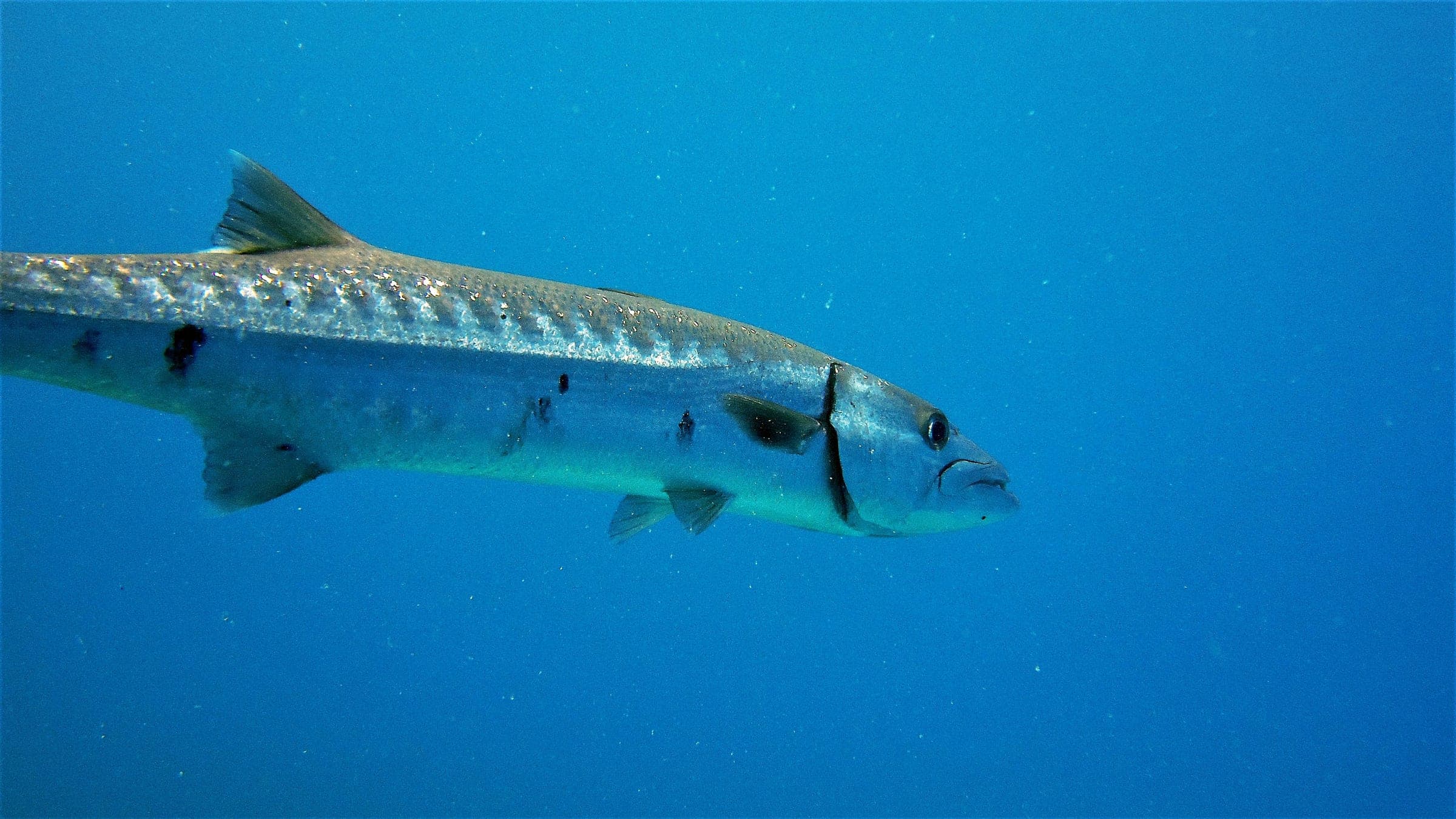
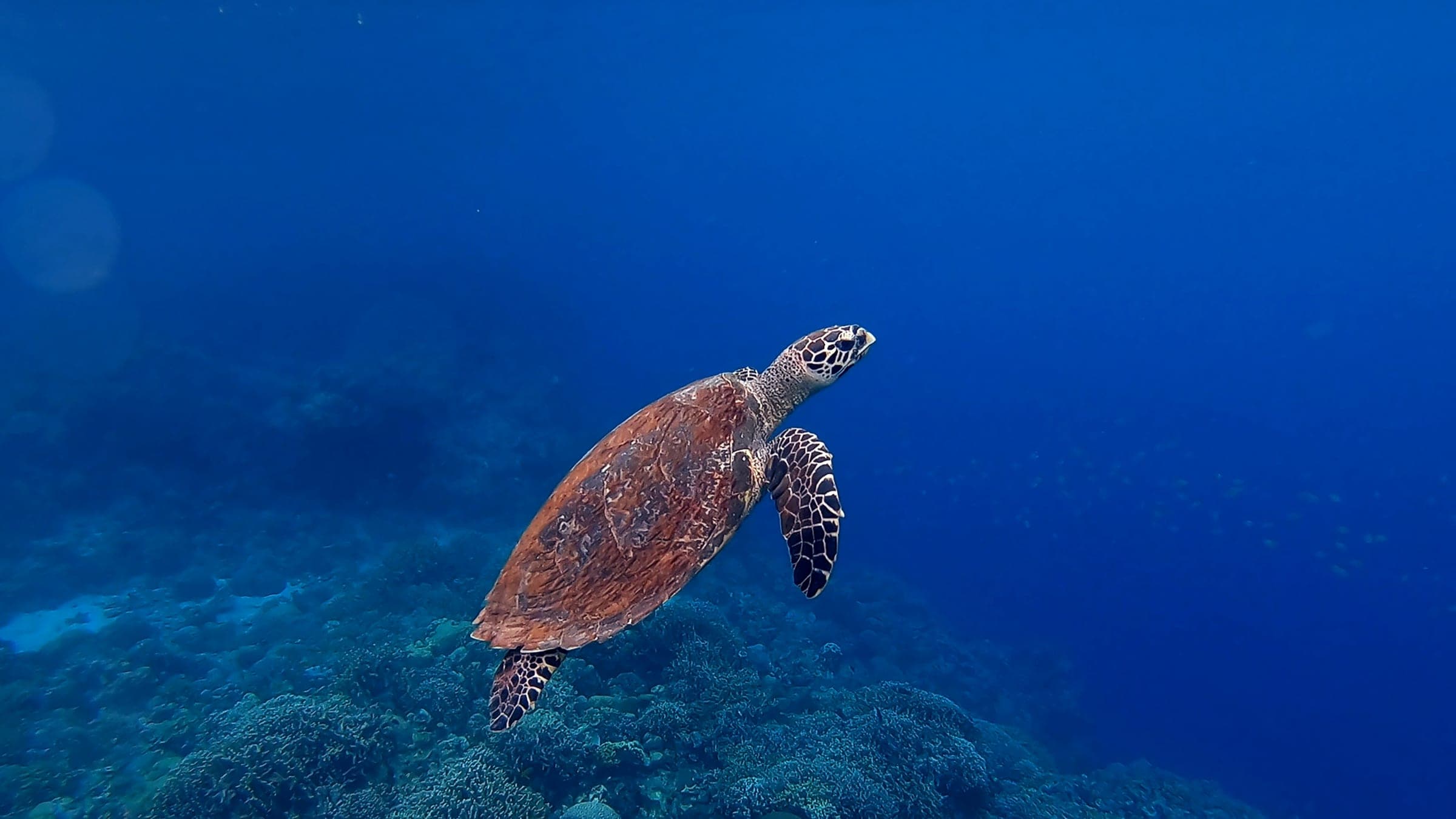
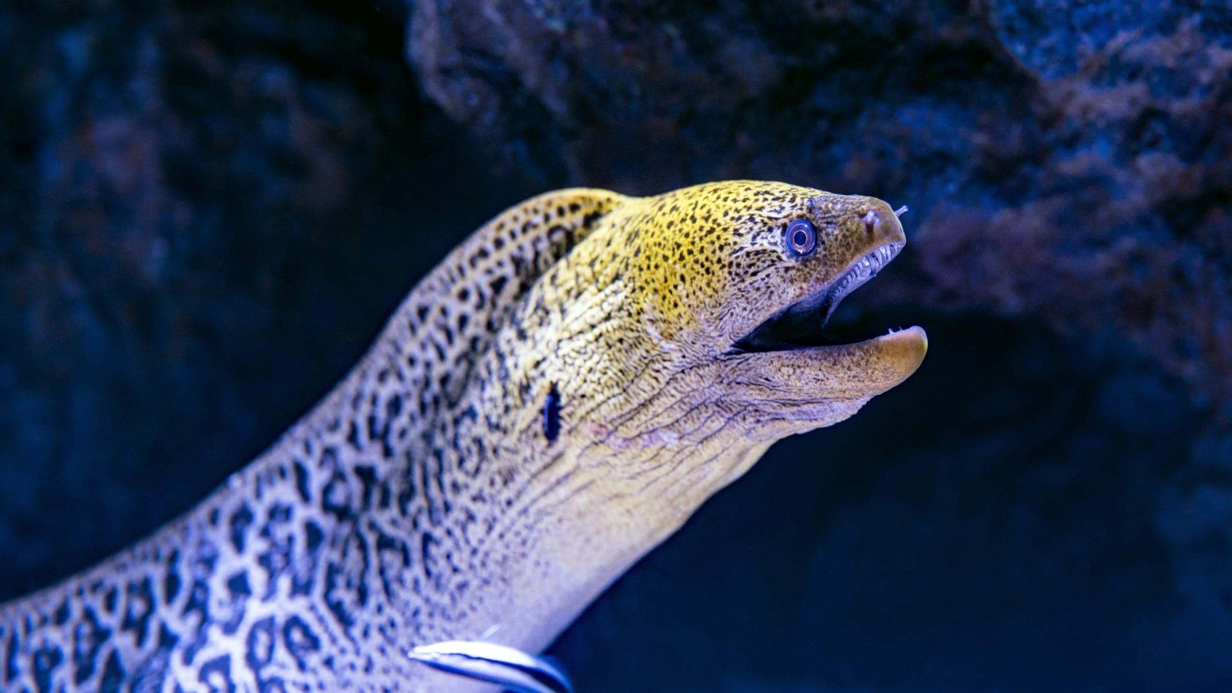
Species commonly reported at this site, with direct links into their wildlife guides.
Community dive logs and visit reports for this site.
No Dive Logs Yet
Be the first to log a dive at this spot and share your experience!
Average conditions based on logged dives & visits.
Planning answers for access, conditions, timing, and site logistics.
Last Updated
Research Sources
Official marine-park page with wreck depth, offshore access, and current restrictions.
Independent wreck-diving article with depth and visibility context.
Article noting the wreck's reef life and its role in local dive-operator training.
Wreck-diving guide that describes the Stavronikita as Barbados' most challenging wreck dive.
Know this site? Improve Spot Details.

Shallow reef drift off Barbados' historic fort
South-coast Barbados drift reef with rays and reef fish.
A south-coast drift reef with broad coral and steady fish life.
Boat-access wreck dive on Barbados' south coast.