csbe.fr · Community
Calm-sea guidance and gallery safety note for La Truie.
Shallow Côte Sauvage cave-and-rock dive on Quiberon.
Save it, log a dive, or explore nearby on the map.
Save it to come back later
La Truie is a rocky Côte Sauvage site on the Quiberon peninsula with a fault in the rock, shallow walls, and tide-sensitive cave openings. The main passage stays daylight-filled, while a second cave farther west is darker and more enclosed. It fits divers who like short shore routes, rock structure, and calm-sea planning.
Conservative baseline from public research. No community dives logged yet.
Depth range, seasonality, and planning context.
Reported Depth
4m - 14m
Depth Note
The core profile is shallow, around 4-13m, with cave access tied to high tide and calmer sea conditions.
Best Season
summer
Typical Conditions
High tide enables access into the cave beneath the fault; a second cave farther west is darker.
Hazards, restrictions, and access requirements.
Key Hazards
Safety Notes
Cave penetration is possible at high tide; plan gas, lighting, and maintain a clear route back to open water.
Access Restrictions
Best on calm sea and around the tide window; the west side is more exposed to swell and stronger current.
Legal Notes
Follow local tide, access, and cave-entry guidance; use a lamp for the secondary galleries.
Community notes to help plan your visit.
Scuba Diving
Scuba divers explore a faulted rock area with a cave that can be entered at high tide and a second, darker cave farther west.
Freediving
Experienced freedivers can use the shallow rock line and cave edges on calm days, but the narrow galleries need care and a torch.
Snorkeling
Snorkeling works only on very calm days and mainly in the shallow approach zone; the cave passages are for divers.
Use the planner to scan this week, inspect today in local time, and understand how exposure shapes conditions at La Truie.
Directional shelter context for incoming swell.
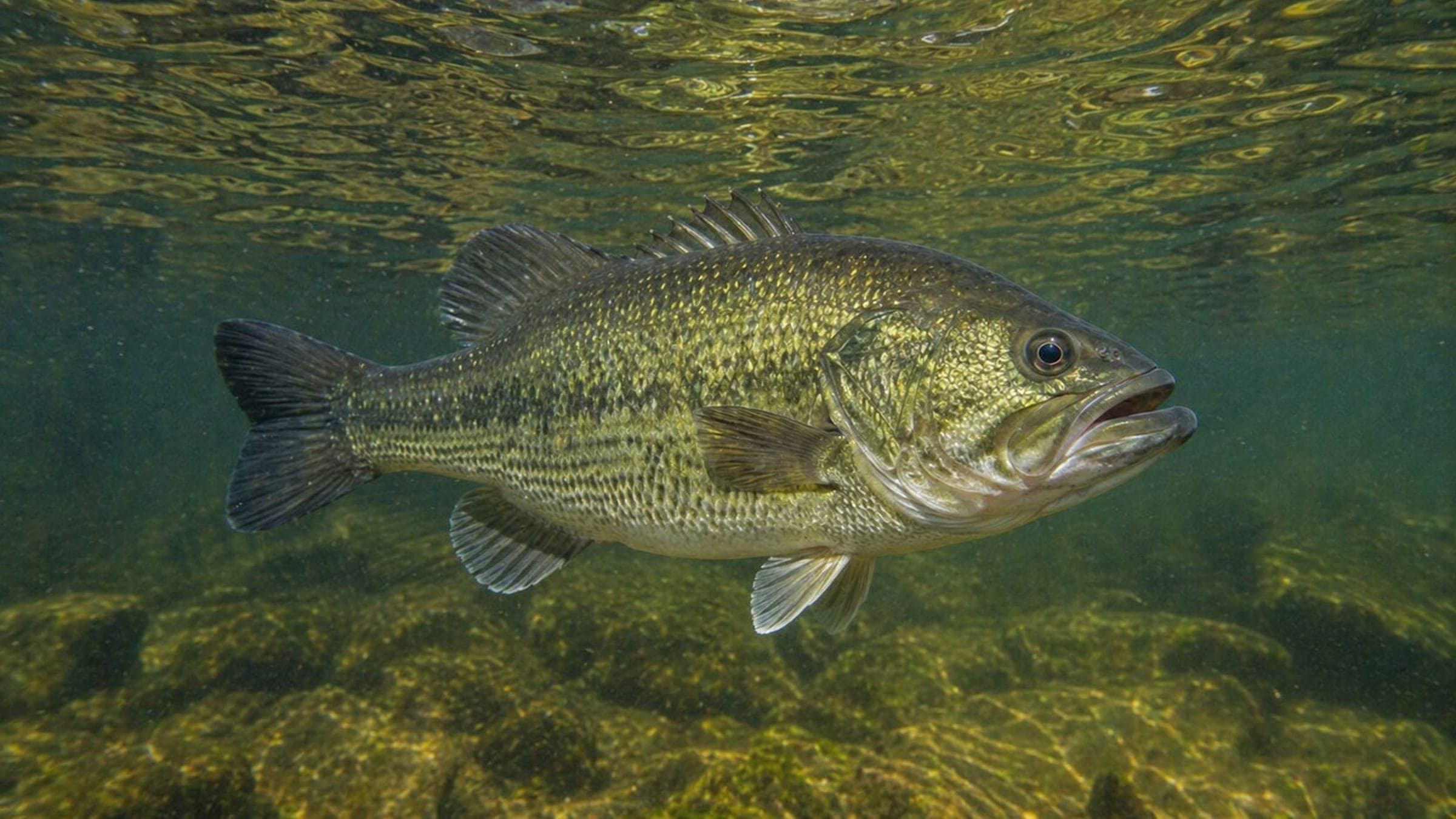
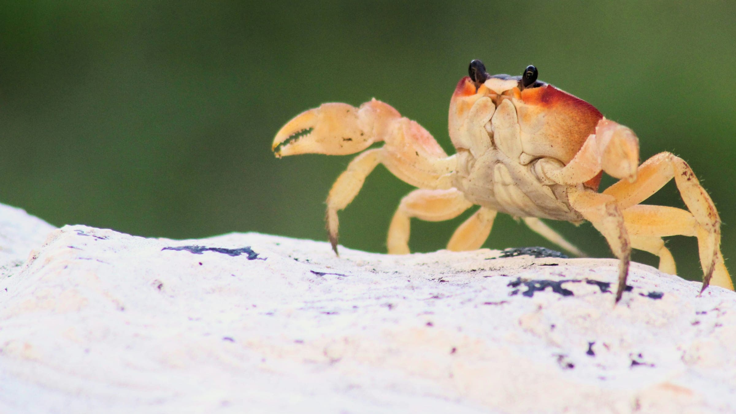
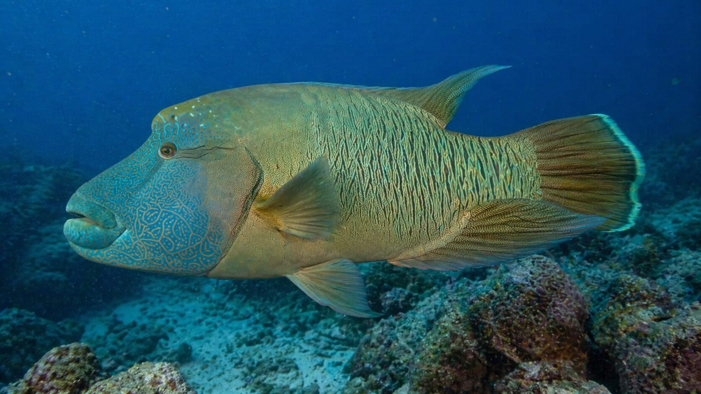
Species commonly reported at this site, with direct links into their wildlife guides.
Community dive logs and visit reports for this site.
No Dive Logs Yet
Be the first to log a dive at this spot and share your experience!
Average conditions based on logged dives & visits.
Planning answers for access, conditions, timing, and site logistics.
Last Updated
Research Sources
Calm-sea guidance and gallery safety note for La Truie.
La Truie dive-site page with depth band, structure, and species notes.
La Truie access route, tide window, current, and swell notes.
Côte Sauvage coastal context for Saint-Pierre-Quiberon.
Know this site? Improve Spot Details.

Remote rocky boat dive with wreck-like fauna.
Sheltered Concarneau bay beach with easy access and tide-sensitive water.
Historic Portivy wreck with strong structure and marine life.
Rocky shore dive on Quiberon’s Conguel point