costasalvaje.org · Official
Official park diving guide with marine-life identification and dive rules.
Punta Tejon boat wall dive with huge rock formations
Punta Tejon boat wall dive with huge rock formations
Save it, log a dive, or explore nearby on the map.
Save it to come back later
Guided boat planning is the practical default in Huatulco's protected dive area.
Punta Tejon is a Huatulco boat dive built around a rocky wall and huge Pacific formations. It fits divers who want a scenic topography dive in a park-managed area, with local operator support and Pacific timing more important than a simple beach entry.
Conservative baseline from public research. No community dives logged yet.
Depth range, seasonality, and planning context.
Reported Depth
0m - 21m
Depth Note
The rocky line begins near the beach and a public site note places the recreational max around 21 m.
Best Season
Dry season
Typical Conditions
Rocky wall dive with huge formations, moderate visibility, and a Pacific open-water feel that is usually manageable on settled days.
Hazards, restrictions, and access requirements.
Key Hazards
Safety Notes
Use an SMB, respect the park guide rules, and plan around Pacific sea state and guided boat logistics.
Access Restrictions
This is best treated as a guided park dive; the operator and park rules matter more than a casual shore entry.
Legal Notes
Huatulco National Park guidance requires certified guides, group limits, and respect for the protected marine area.
Community notes to help plan your visit.
Scuba Diving
Best as a guided boat dive for divers who want a wall-and-formation profile rather than a flat reef drift.
Freediving
The shallowest water can work for a surface look, but the wall is better on scuba.
Snorkeling
Snorkelling is secondary here; the main features sit below an easy surface circuit.
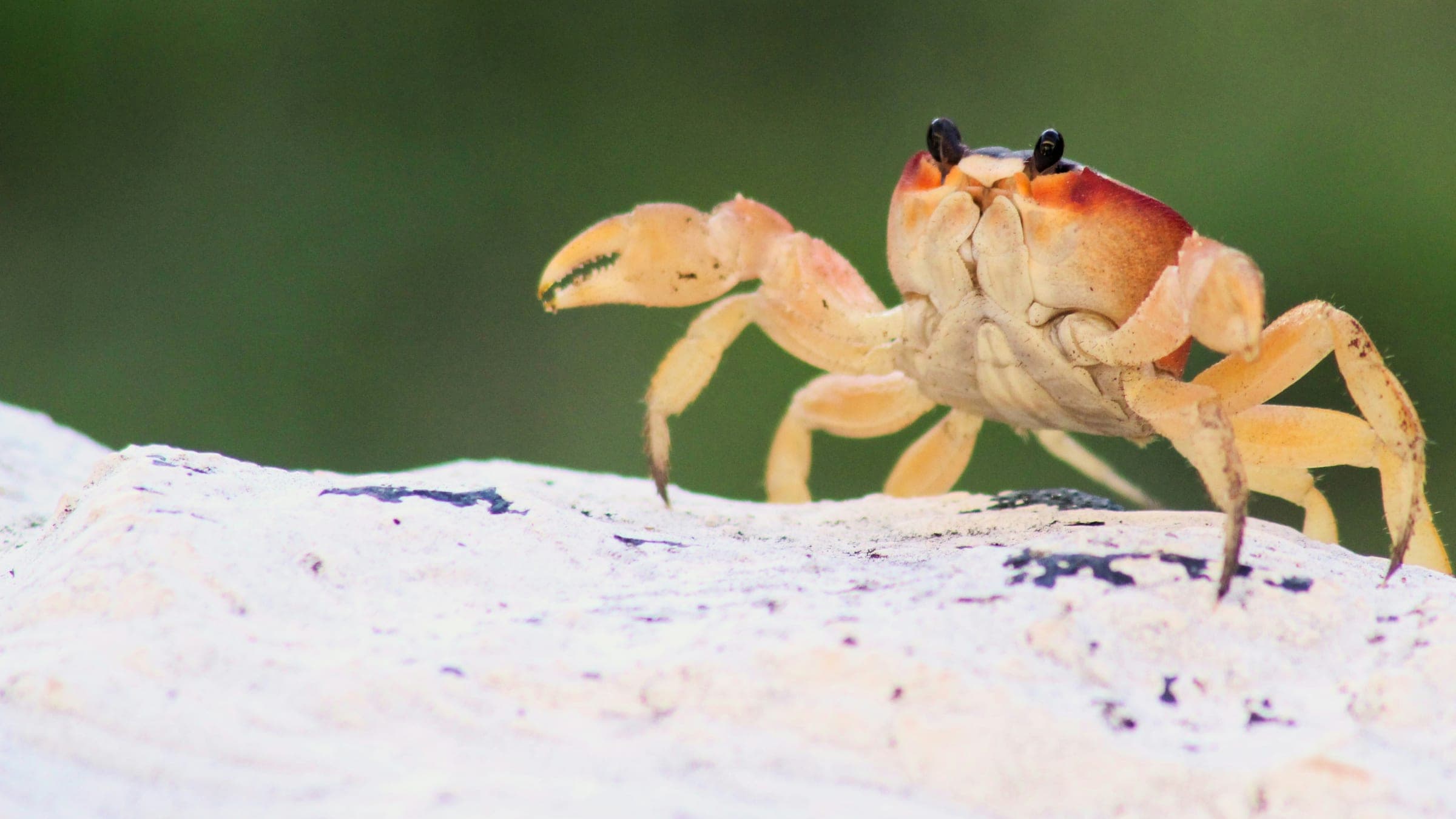
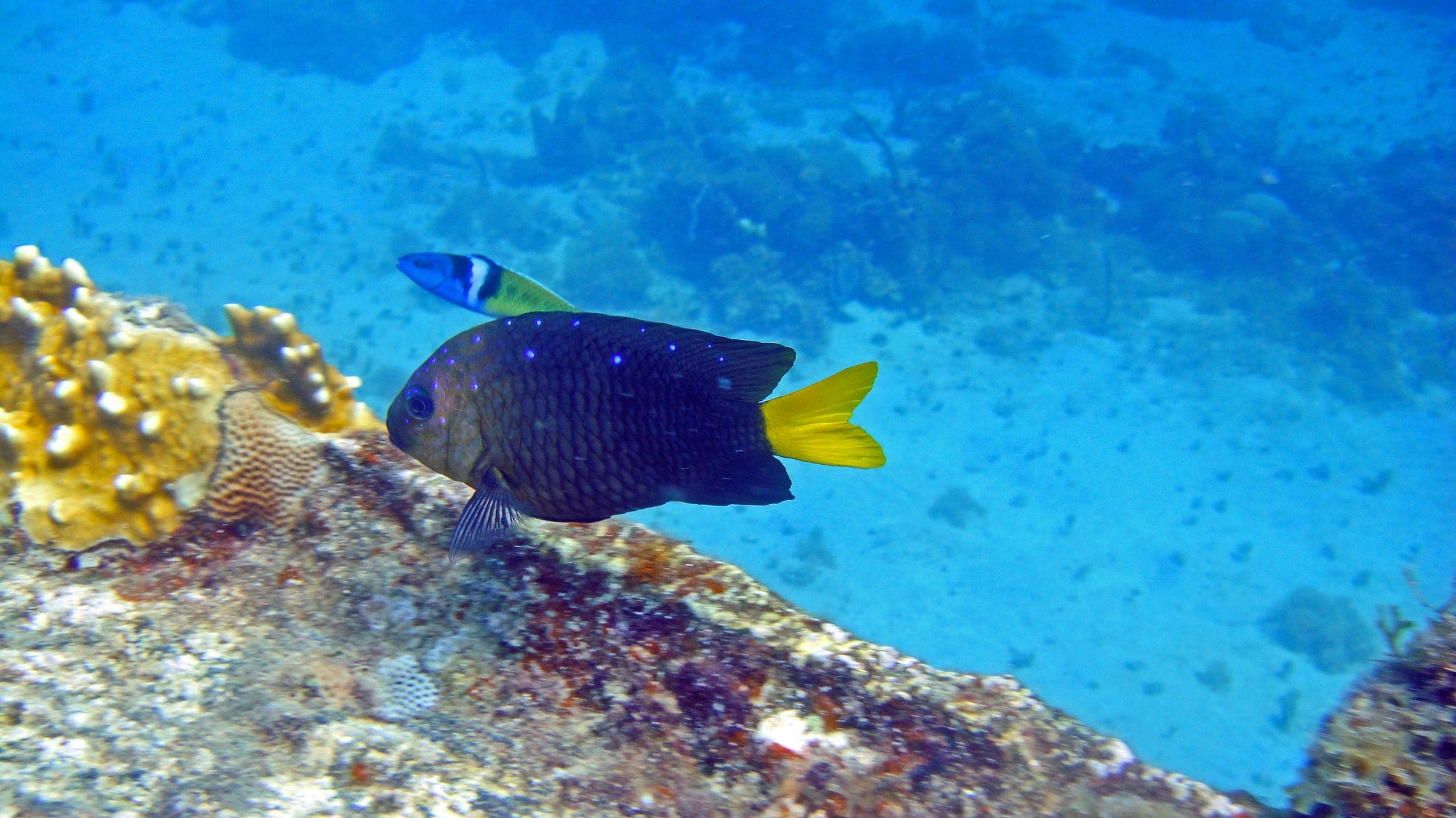
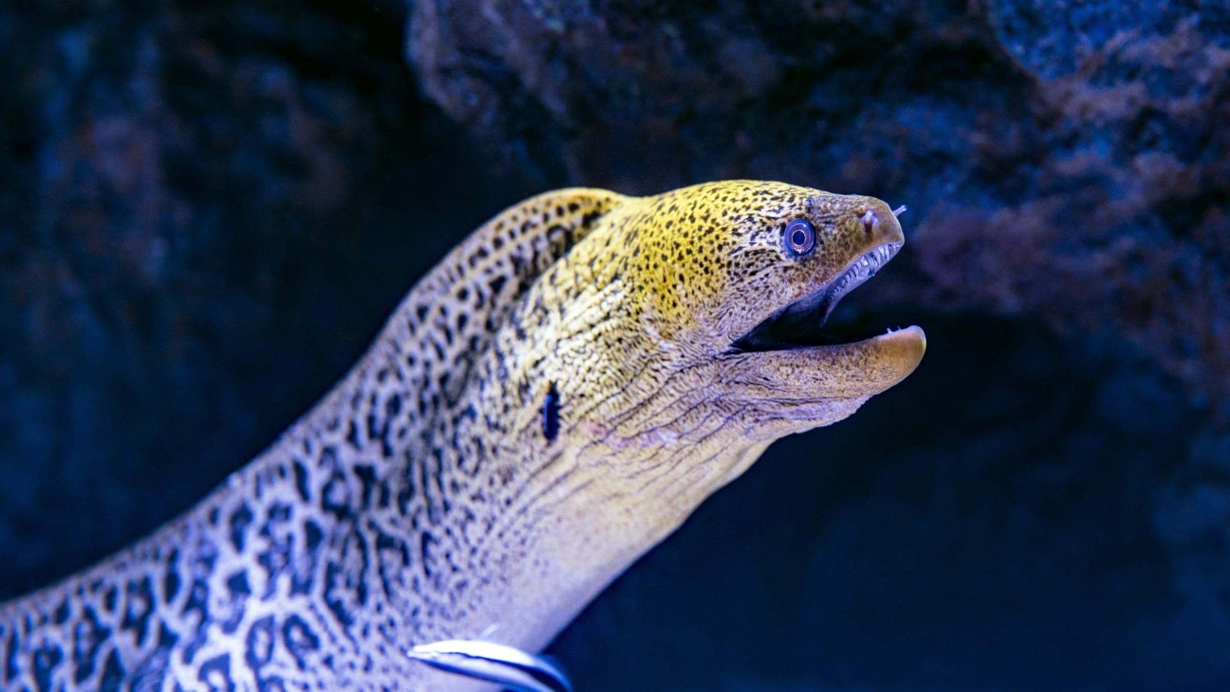
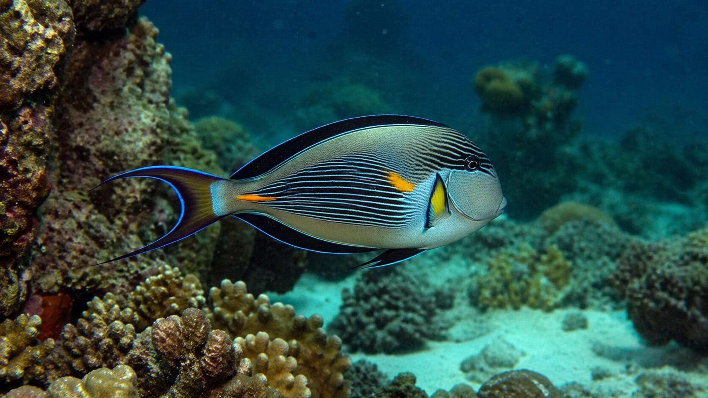
Species commonly reported at this site, with direct links into their wildlife guides.
Community dive logs and visit reports for this site.
Average conditions based on logged dives & visits.
Planning answers for access, conditions, timing, and site logistics.
Last Updated
Research Sources
Official park diving guide with marine-life identification and dive rules.
Local Huatulco dive center with boat-diving and marine-life context.
Independent Huatulco diving guide with ordinary visibility context.
Community beach guide for the Conejos area and nearby dive-friendly water.
Know this site? Improve Spot Details.

Rocky Huatulco pinnacle with wall structure
Sheltered Huatulco reef point with calm water and easy marine life.
Boat-run Huatulco canyon-and-reef dive
Boat-accessed Huatulco reef-and-channel site
La Montosa Island is a Huatulco boat dive with coral and caverns.