nds-malta.com · Dive Operator
Bow/stern depths, sheltered harbour setting, and marine-life notes around the wreck.
Historic shore wreck with the Carolita name
Historic shore wreck with the Carolita name
Carolita X127 is the older name for a historic shore-access wreck in Marsamxett Harbour with an almost-intact hull and a sheltered approach from Manoel Island. It suits controlled wreck exploration more than casual penetration, with a careful, scenic dive profile that rewards good buoyancy and awareness.
Conservative baseline from public research. No community dives logged yet.
Depth range, seasonality, and planning context.
Reported Depth
5m - 22m
Depth Note
The bow is shallow and the stern sits deeper on the slope, with the wreck reported between about 5 m and 22 m.
Best Season
Year-round; especially useful when sheltered wreck diving is the sensible choice after wind picks up.
Typical Conditions
Sheltered harbour wreck with low flow, some silt, and enough interest to draw divers when exposed sites are less comfortable.
Site conditions, restrictions, and access requirements.
Site Conditions
Safety Notes
Treat the wreck as unstable and silty, avoid unnecessary penetration, and keep an eye on harbour traffic throughout the dive.
Access Restrictions
Shore access is from the Manoel Island / Marsamxett Harbour side, and marina parking is the easiest practical option. It is a working harbour, so plan around boat traffic and entry timing.
Legal Notes
The wreck is treated as protected underwater cultural heritage and an official war memorial under Maltese law. Do not disturb the structure.
Community notes to help plan your visit.
Scuba Diving
Depth range and boat traffic make DSMB use advisable; an additional car remnant can be reached at around 21 m after an 8–10 minute swim past the wreck.
Freediving
Not a primary freedive target; the wreck is better approached on scuba with buoyancy control and a measured pace.
Snorkeling
Not a natural snorkel focus, since the main draw is the submerged wreck rather than a surface route.
Species commonly reported at this site, with direct links into their wildlife guides.
Community dive logs and visit reports for this site.
Average conditions based on logged dives & visits.
Planning answers for access, conditions, timing, and site logistics.
Last Updated
Research Sources
Bow/stern depths, sheltered harbour setting, and marine-life notes around the wreck.
Carolita naming history and heritage-protection framing.
Ta Xbiex Marina page describing the sheltered, central harbour setting and nearby serviced marina facilities.
Carolita X127 wreck page with the 6-22 m slope, silt and mud, DSMB recommendation, and harbour-traffic warnings.
Operator page confirming the Carolita/Coralita alias, shore-dive classification, and bow/stern depth range.
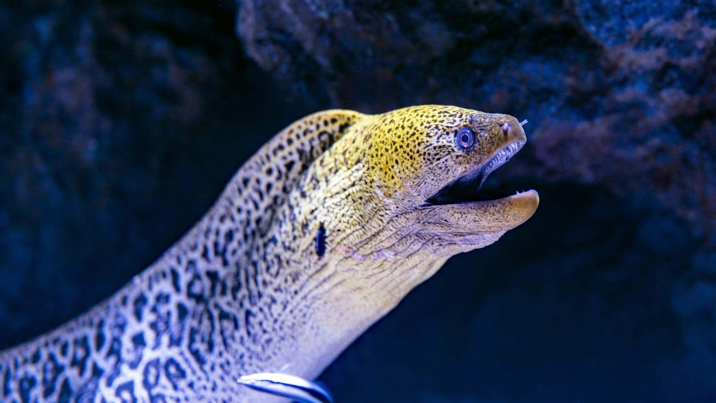
Directory page with current none, 5-15 m visibility, marina parking, stairs-or-ladder access, and a log note mentioning moray eels.
Historical page placing X127 at Manoel Island in Marsamxett Harbour and noting Maltese Maritime Law status.
Know this site? Improve Spot Details.
Shore arch and reef dive at Left Arch, Malta.
Shore-access Cirkewwa reef route with arch, amphorae, and mixed terrain.
Shallow Cirkewwa plateau for warm-up dives and basic skills practice.
Classic upright wreck dive at Malta's famous Tug Boat Rozi.
Classic Cirkewwa wreck with a clear shore approach.
Popular Cirkewwa shore reef with a cave statue and easy beginner access.