wiotto.com · Tourism
Independent Mauritius diving overview with ordinary visibility guidance.
Tug 2, Wreck: shallow wreck with macro life.
Tug 2, Wreck: shallow wreck with macro life.
Save it, log a dive, or explore nearby on the map.
Save it to come back later
Boat access and pickup make a local guide the practical default.
Tug 2, Wreck is a shallow artificial-reef wreck off Mauritius's west coast, sunk from a former port tugboat for scuba diving. The compact hull sits on sand near Snake Reef, so the dive is a slow circuit around the wreck rather than a long swim. It suits calm-water boat trips, steady buoyancy practice, and macro photographers looking for small subjects and reef fish.
Conservative baseline from public research. No community dives logged yet.
Depth range, seasonality, and planning context.
Reported Depth
19m - 20m
Depth Note
Reported around 19-20 m; shallow artificial-reef wreck.
Best Season
Year-round, with calmer windows usually from October to April.
Typical Conditions
Shallow wreck on sand with settled-water windows and a good macro profile.
Hazards, restrictions, and access requirements.
Key Hazards
Safety Notes
Keep buoyancy tight over the wreck and listen for the operator's pickup and descent briefing.
Access Restrictions
Usually reached by guided boat dive rather than shore entry.
Legal Notes
Follow local marine rules and the operator briefing before diving the wreck.
Community notes to help plan your visit.
Scuba Diving
A shallow wreck dive around 19 m, suitable for exploring as an artificial reef and for macro-focused dives.
Freediving
Better suited to scuba than freediving because the interesting route is a controlled wreck circuit.
Snorkeling
Not a snorkel-first site; the main interest sits on the wreck itself.
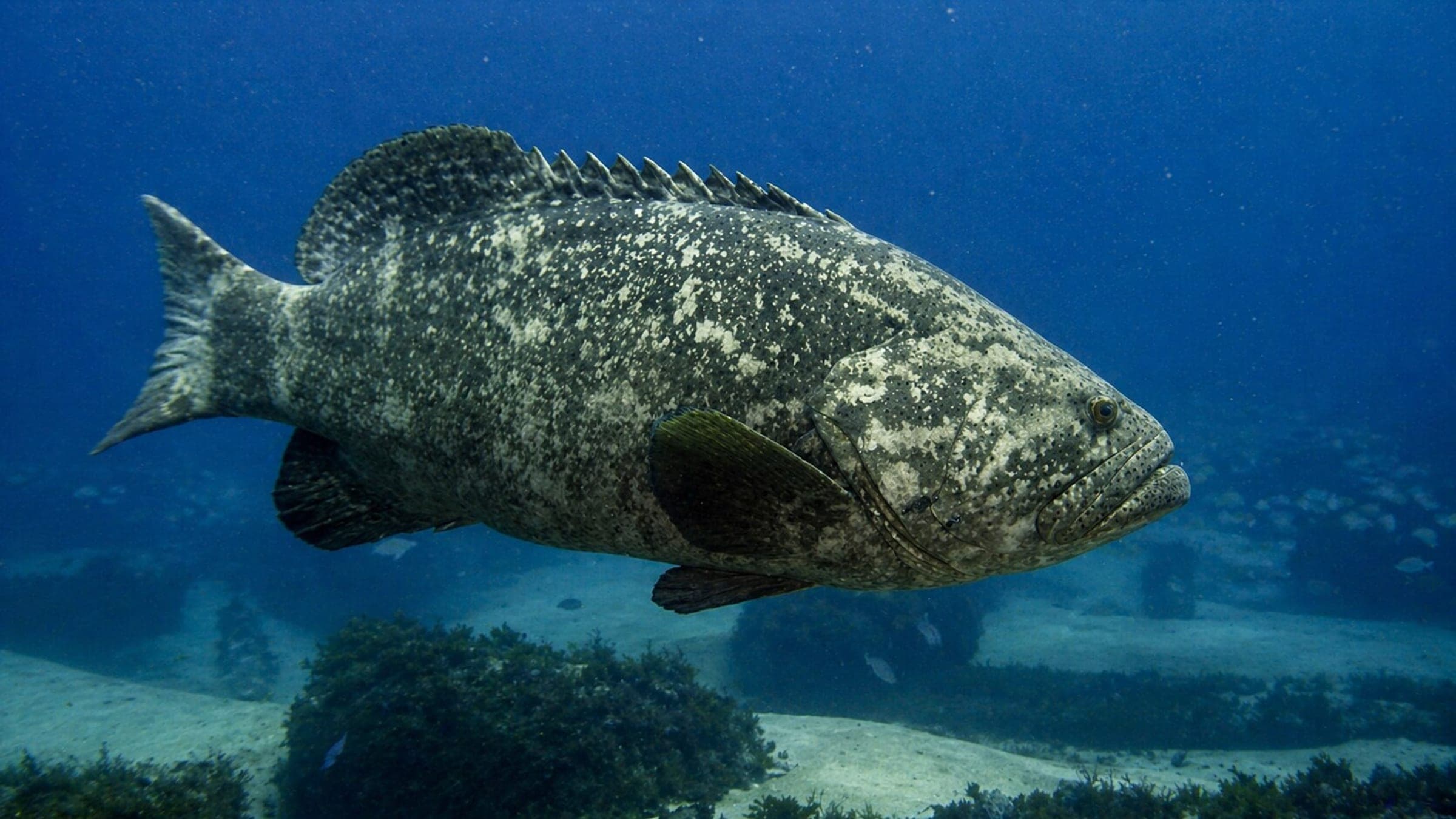
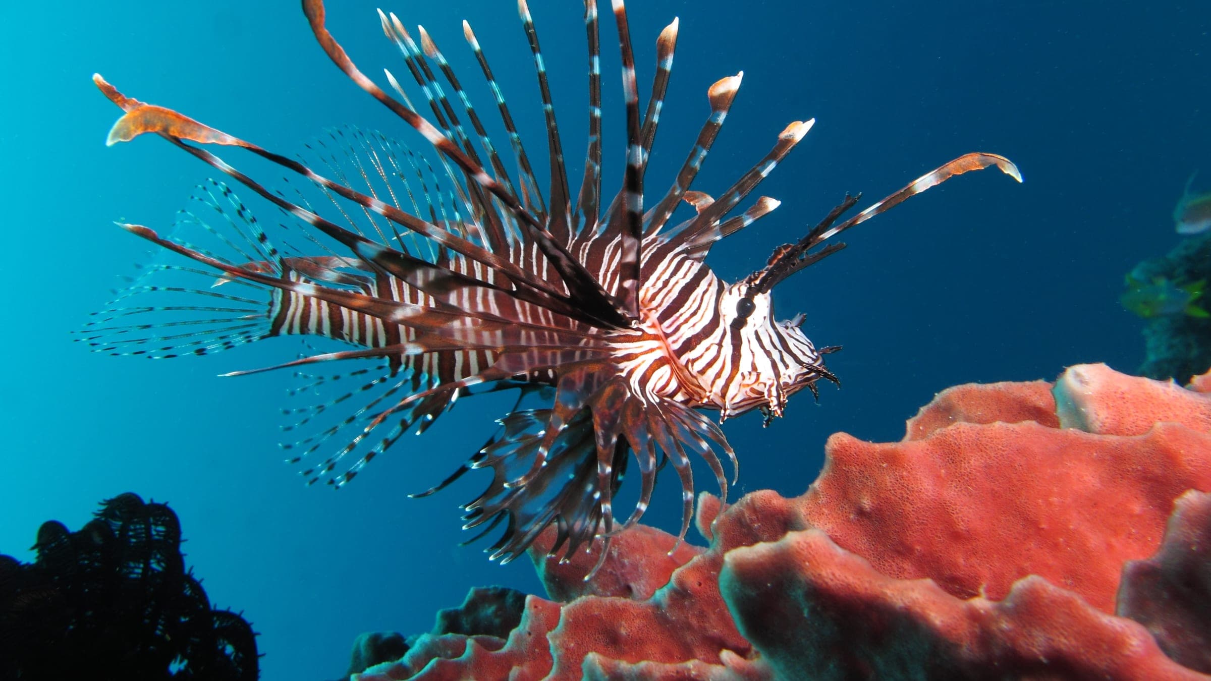
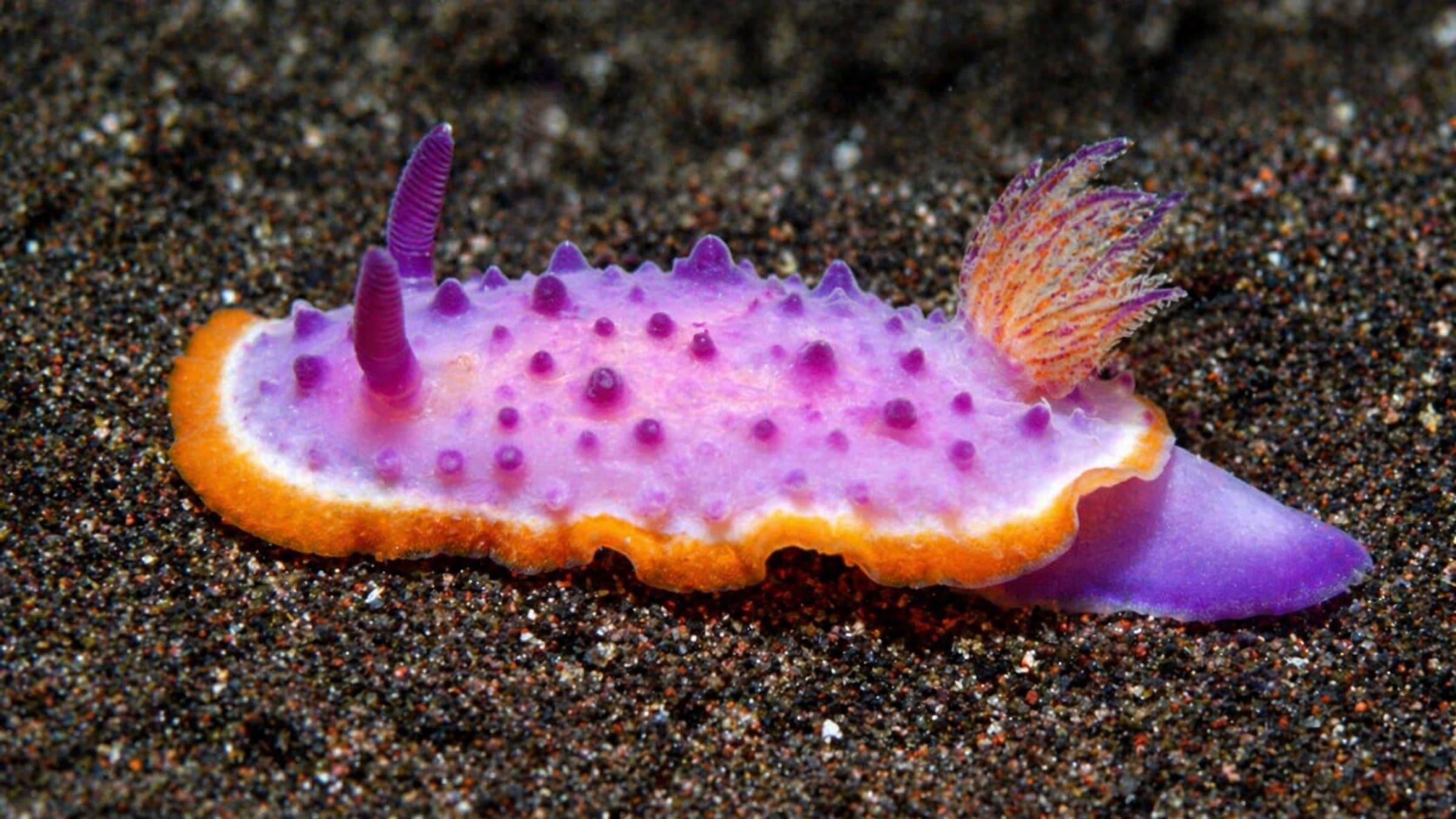
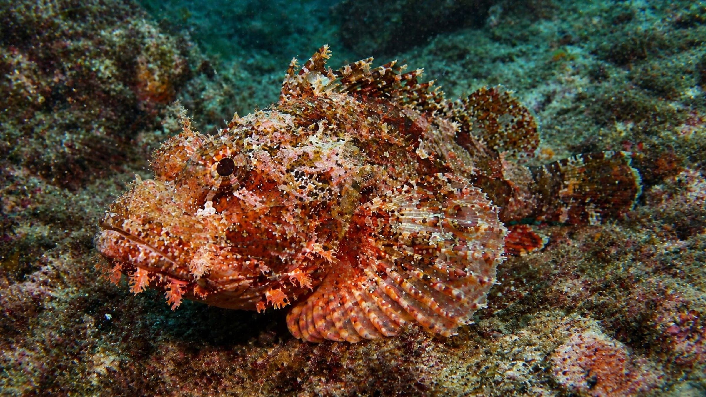
Species commonly reported at this site, with direct links into their wildlife guides.
Community dive logs and visit reports for this site.
Average conditions based on logged dives & visits.
Planning answers for access, conditions, timing, and site logistics.
Last Updated
Research Sources
Independent Mauritius diving overview with ordinary visibility guidance.
Tourism overview for year-round diving and rougher winter water.
Operator page describing the sandy-bottom wreck and common sightings.
Community directory listing the site as a boat dive with small-fish life.
Know this site? Improve Spot Details.

West-coast boat reef near Flic en Flac with strong macro life and photo appeal.
Shallow lagoon for calm dolphin swims.
Sheltered west-coast reef with sand between two sections.
Snake II is a small reef with sand and varied marine life.
Shallow reef-bank dive with macro life at Canon, Mauritius.
Boat-access reef dive with mixed marine life.