www.campingeverstein.nl · Operator
Operator page with access, depth, pricing, facilities, and fish.
Paid freshwater quarry dive in Utrecht with shore access and marked posts.
Save it, log a dive, or explore nearby on the map.
Save it to come back later
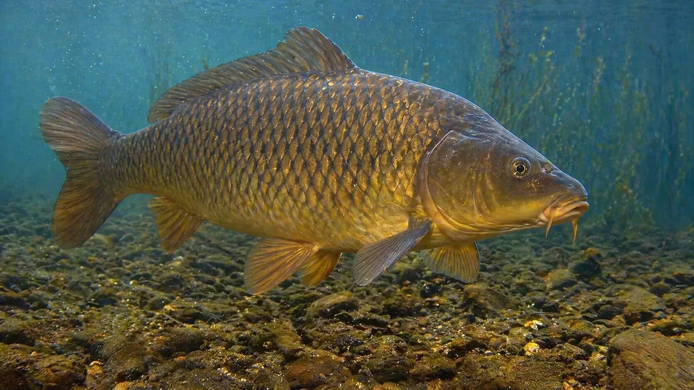
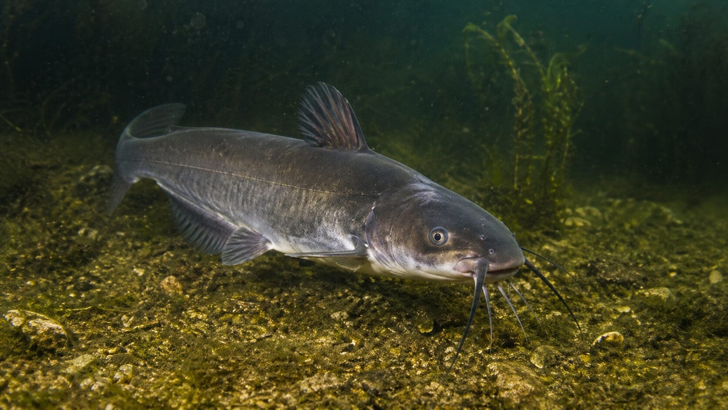
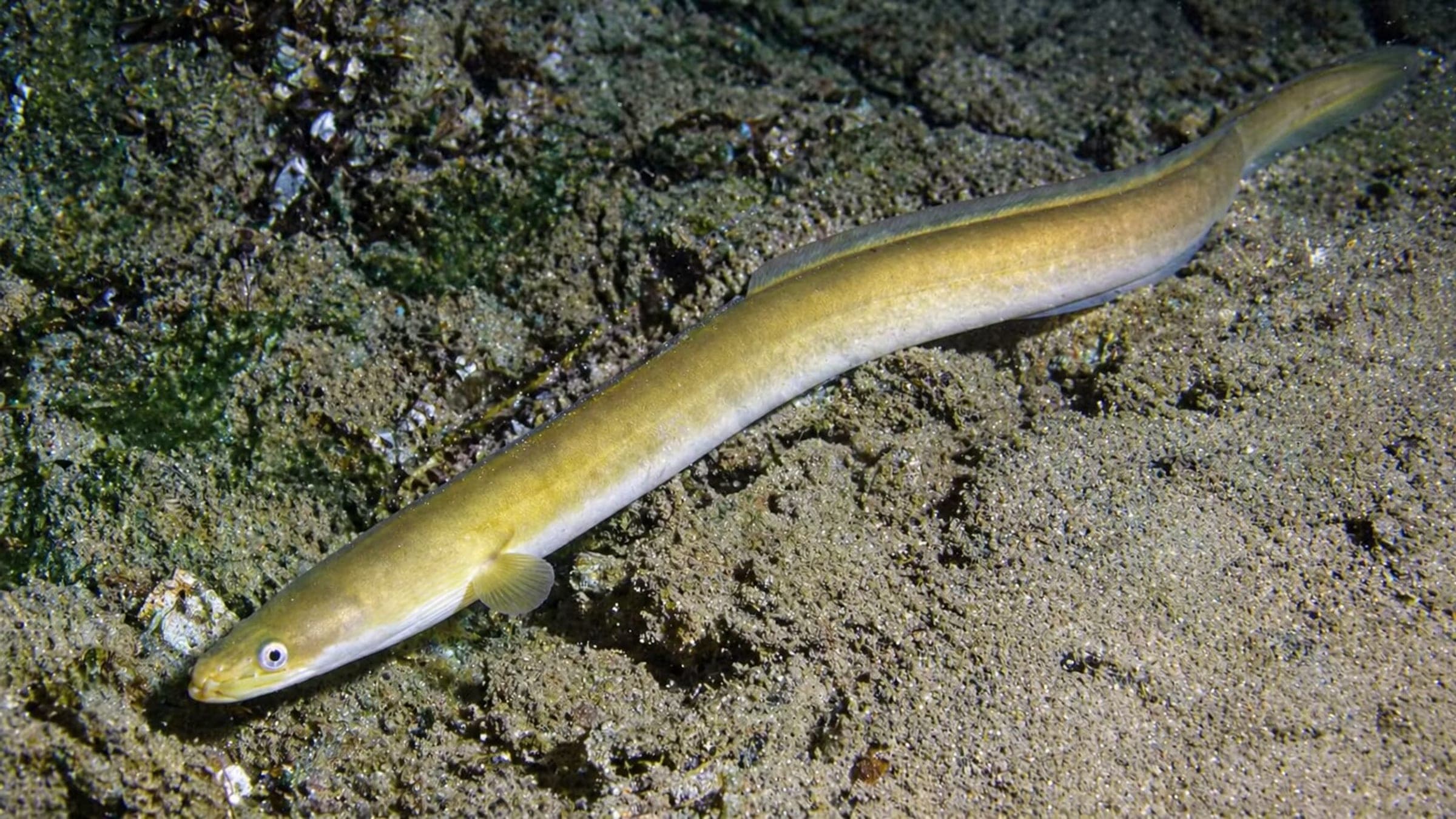
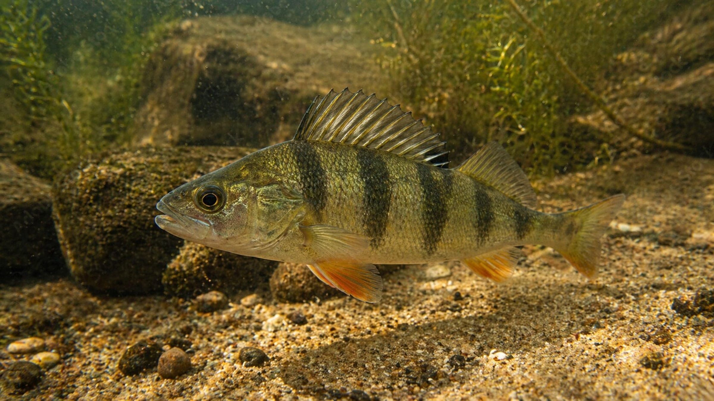
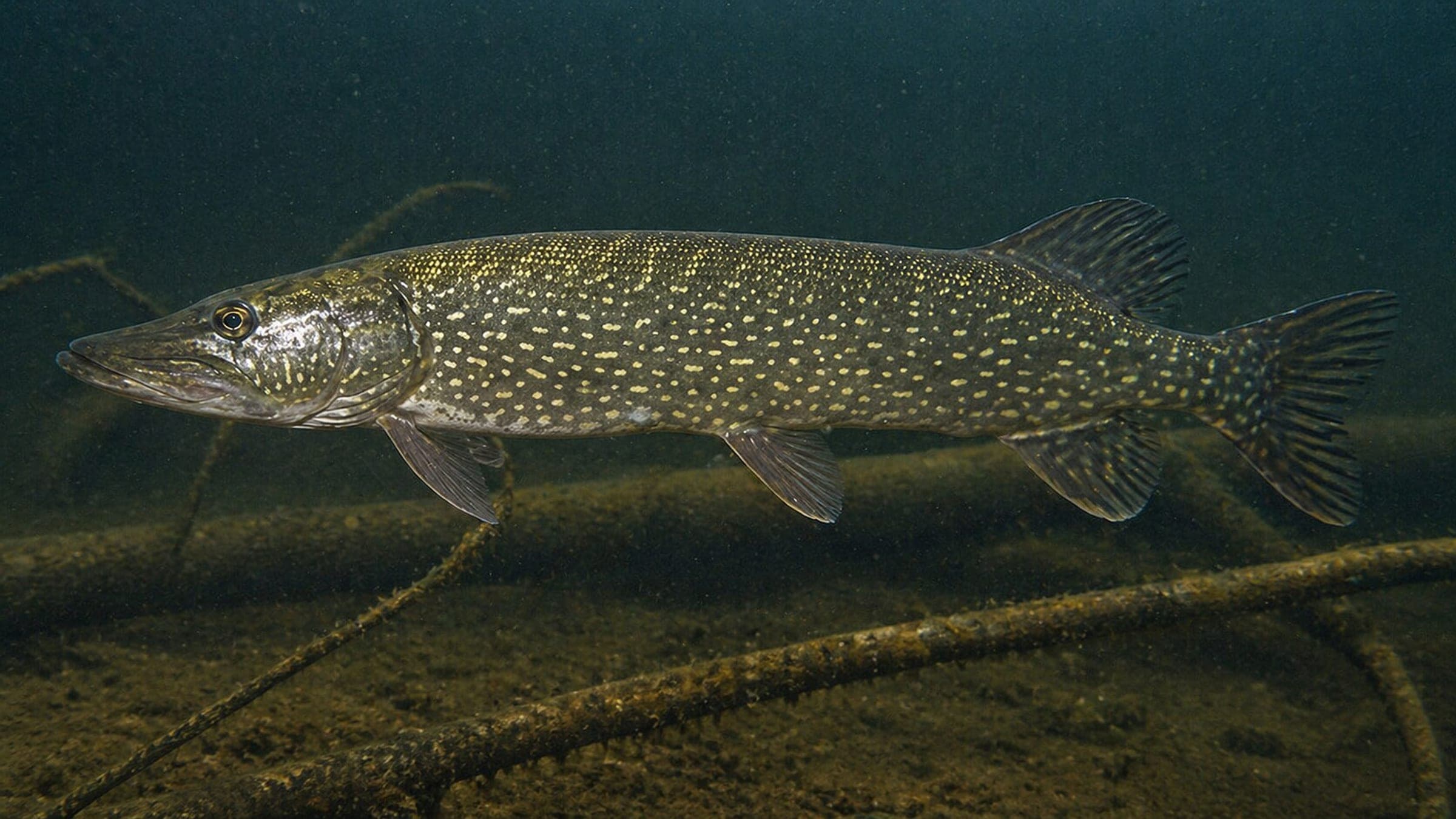
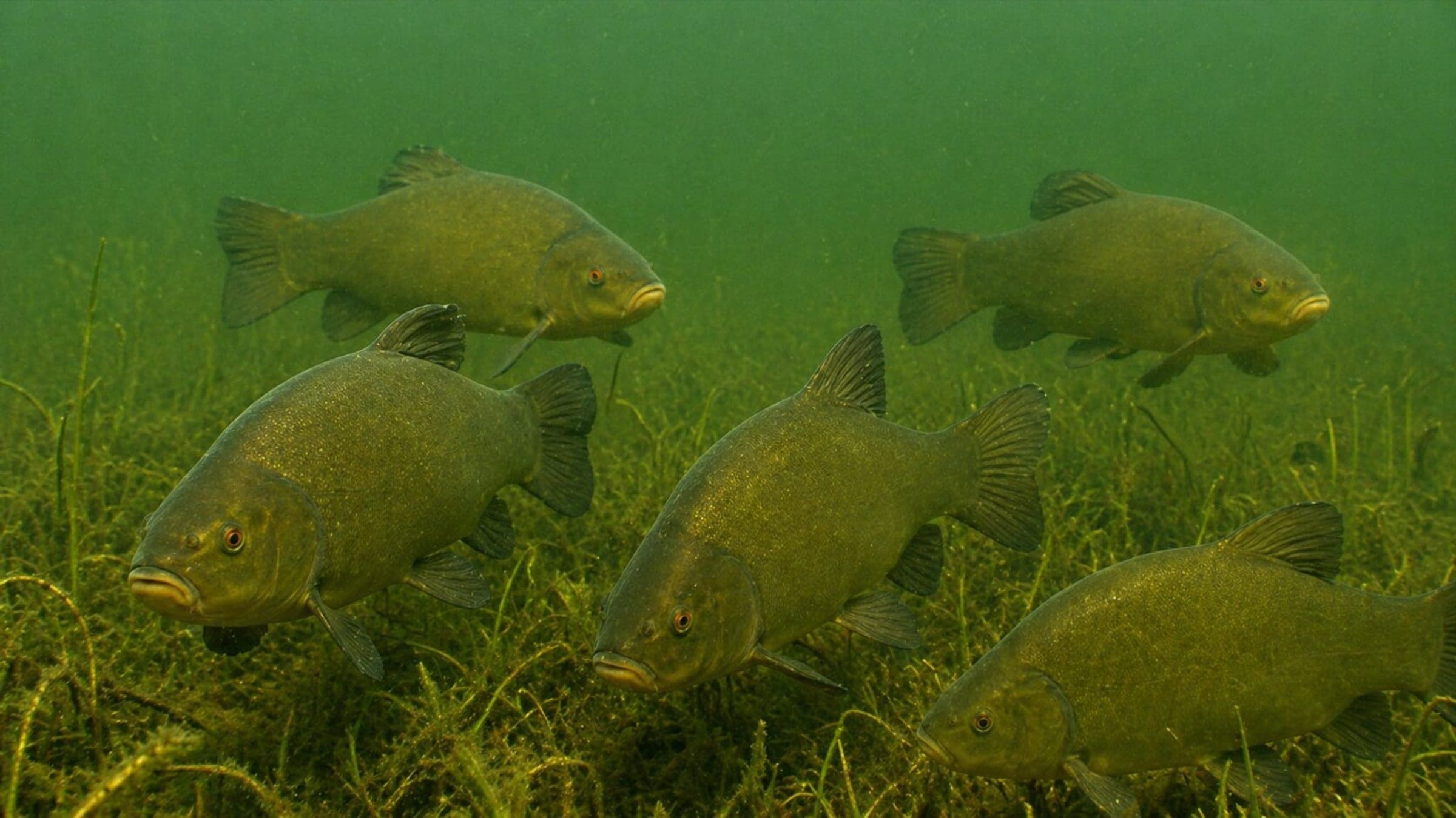
Hagestein is a paid freshwater quarry in Utrecht with shore access from campground property, a marked underwater route, a boat wreck, and a deep basin with clay and peat walls. It is best treated as a warm-season quarry dive: the water is calm, the return path is straightforward, and the main planning challenge is variable visibility rather than current. Expect regular sightings of pike, perch, carp, eel, catfish, and tench.
Conservative baseline from public research. No community dives logged yet.
Depth range, seasonality, and planning context.
Reported Depth
1m - 25m
Depth Note
Shallow shore entry drops into a quarry basin that reaches about 25 m, with the deeper water farther from shore.
Best Season
April 1 to October 1.
Typical Conditions
Freshwater quarry diving with calm water, variable visibility, and a deep basin.
Hazards, restrictions, and access requirements.
Key Hazards
Safety Notes
Visibility can drop quickly, and some clay walls can overhang. Use the marked route and dive conservatively.
Access Restrictions
Paid shore diving on campground property; seasonal access from April 1 to October 1.
Legal Notes
No permit is listed; follow site rules and check in with the administrator.
Community notes to help plan your visit.
Scuba Diving
A marked underwater route leads to a boat wreck and other installed objects.
Freediving
Freediving is not the main use case here; the deeper quarry profile and variable visibility favor scuba.
Snorkeling
Only shallow shoreline snorkeling would be practical; the main features sit deeper in the quarry.
Use the planner to scan this week, inspect today in local time, and understand how exposure shapes conditions at Hagestein.
Directional shelter context for incoming swell.
Species commonly reported at this site, with direct links into their wildlife guides.
Community dive logs and visit reports for this site.
No Dive Logs Yet
Be the first to log a dive at this spot and share your experience!
Average conditions based on logged dives & visits.
Planning answers for access, conditions, timing, and site logistics.
Last Updated
Research Sources
Operator page with access, depth, pricing, facilities, and fish.
Directory profile with season, visibility, access, and life list.
Independent club page with hazards, depth, and site objects.
Know this site? Improve Spot Details.

Freshwater shore dive with piles, pike, perch, and poor stair access.
Freshwater lake dive with objects, fish, and easy shore access.
Freshwater boat wreck dive in Vinkeveen.
Zandeiland 1 is a freshwater Vinkeveen shore dive with peat walls.
Easy freshwater boat dive with pike and wreck bits
Zandeiland 9 is a boat-access freshwater wreck site with strong facilities.