P-39
About P-39
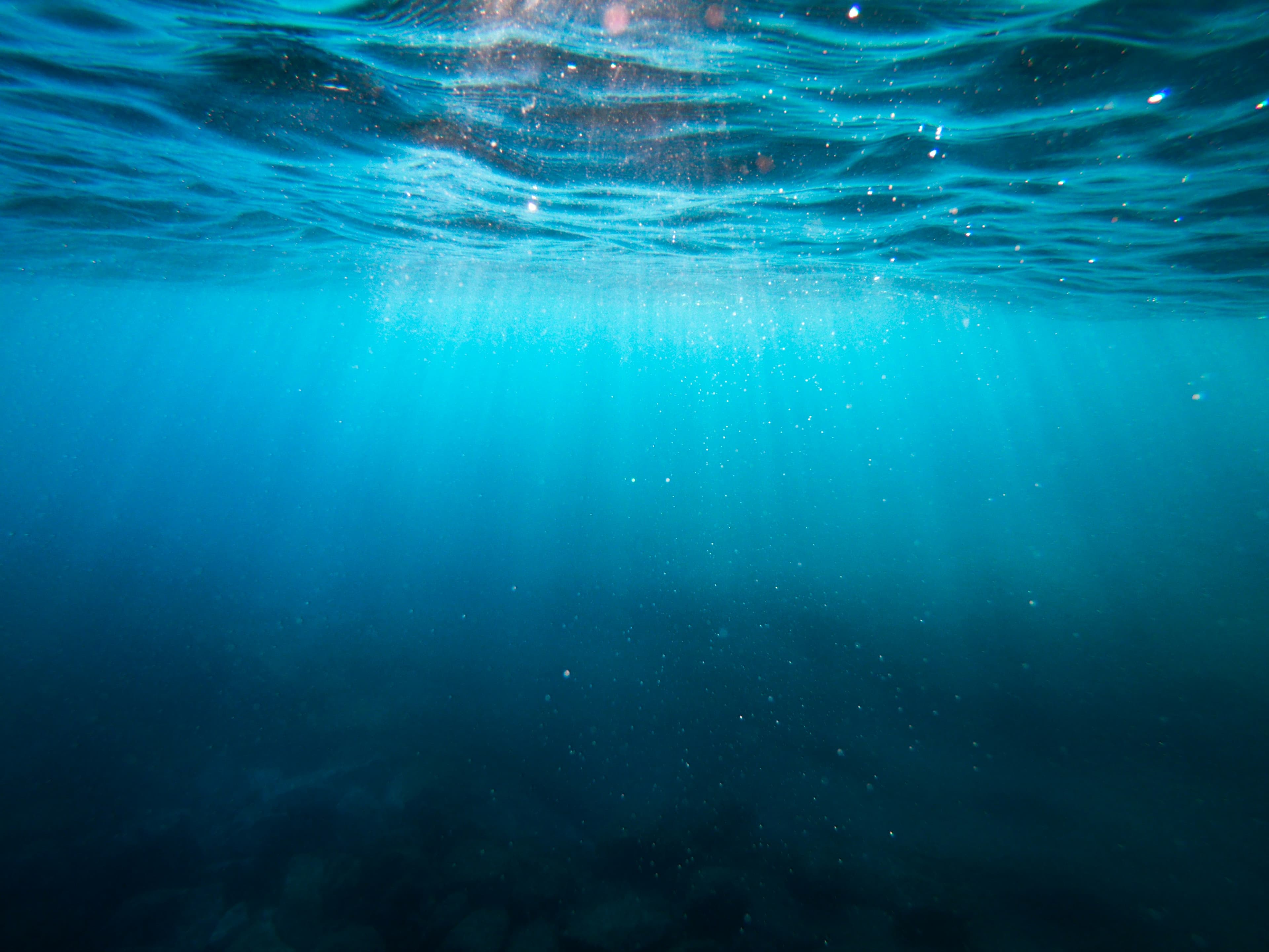
An extensive rocky-bottom dive area located roughly 1.5 km west of a nearby cape. The site sits in deeper water, with the seafloor ranging from about 34–42 m. Strong currents are common here. Marine life is described as limited overall, though crustaceans such as lobsters and soft corals can be found.
Where Is P-39?
P-39 Planning Details
Depth range, seasonality, and planning context.
Reported Depth
34m - 42m
Safety & Access At P-39
Hazards, restrictions, and access requirements.
Key Hazards
Safety Notes
Strong currents are common; plan the dive for conditions and appropriate experience level.
Local Intel For P-39
Community notes to help plan your visit.
Scuba Diving
Depths of 34–42 m and frequent strong currents make this a more demanding scuba dive.
P-39 Dive Conditions Planner
Use the planner to scan this week, inspect today in local time, and understand how exposure shapes conditions at P-39.
Exposure Profile at P-39
Directional shelter context for incoming swell.
Recent Logged Visits At P-39
Community dive logs and visit reports for this site.
No Dive Logs Yet
Be the first to log a dive at this spot and share your experience!
Dive Spot Log Averages At P-39
Average conditions based on logged dives & visits.
P-39 Guide - Sources and Updates
Last Updated
Know this site? Improve Spot Details.