bequiatourism.com · Tourism
Dry-season and weather baseline for Bequia.
Gentle Bequia drift reef from Port Elizabeth.
Gentle Bequia drift reef from Port Elizabeth.
Save it, log a dive, or explore nearby on the map.
Save it to come back later
The site is run as a boat drift and the route depends on the current, so a local operator is the practical way to dive it.
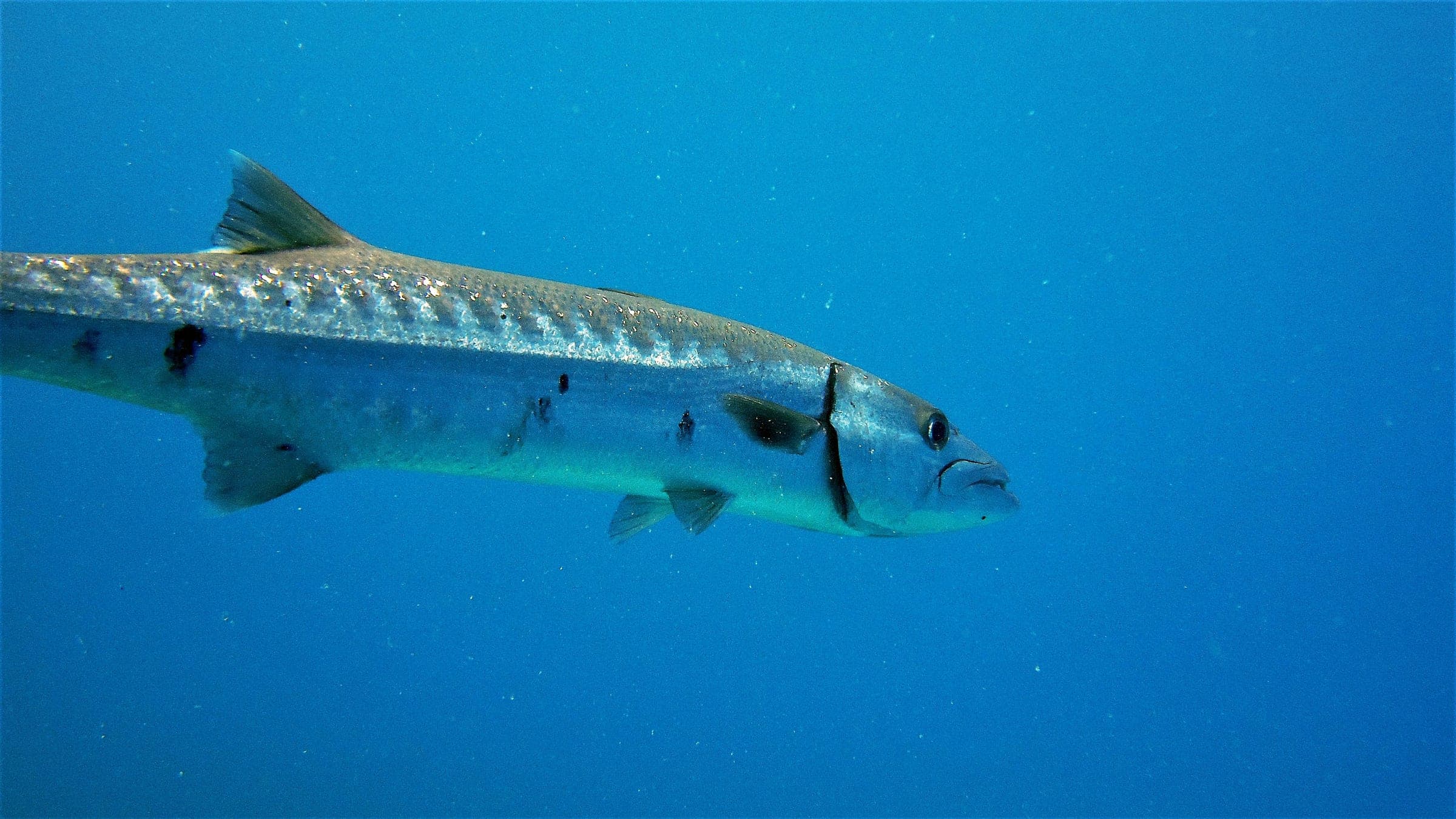
Brown’s Bay is a gentle Bequia reef reached by a short boat ride from Port Elizabeth. The route follows a shallow-to-moderate slope with boulders, coral heads, and patchy reef structure, and it is usually run as a drift when the south-to-north flow is in place. It suits competent beginners and intermediates who want an easy boat day with a little current and plenty of reef life.
Conservative baseline from public research. No community dives logged yet.
Depth range, seasonality, and planning context.
Reported Depth
5m - 15m
Depth Note
Shallow top near Port Elizabeth slopes to a modest reef terrace.
Best Season
December/January to late April/early May
Typical Conditions
Shallow-to-moderate reef slope with a south-to-north drift when the current is running.
Hazards, restrictions, and access requirements.
Key Hazards
Safety Notes
Plan around the current on the reef top and follow the boat briefing for the drift direction.
Access Restrictions
Boat access from Port Elizabeth with a local operator; not a casual shore-entry site.
Legal Notes
Follow the operator briefing and the drift plan; entry and exit are handled from the boat.
Community notes to help plan your visit.
Scuba Diving
Best handled as a boat drift with a shallow top and a modest slope; suitable for competent beginners through intermediate divers.
Freediving
Only the calm shallow edge is realistic for competent freedivers; the drift line is better suited to scuba.
Snorkeling
Snorkeling is limited to the shallow edge in calm conditions; the main reef line is a scuba dive.
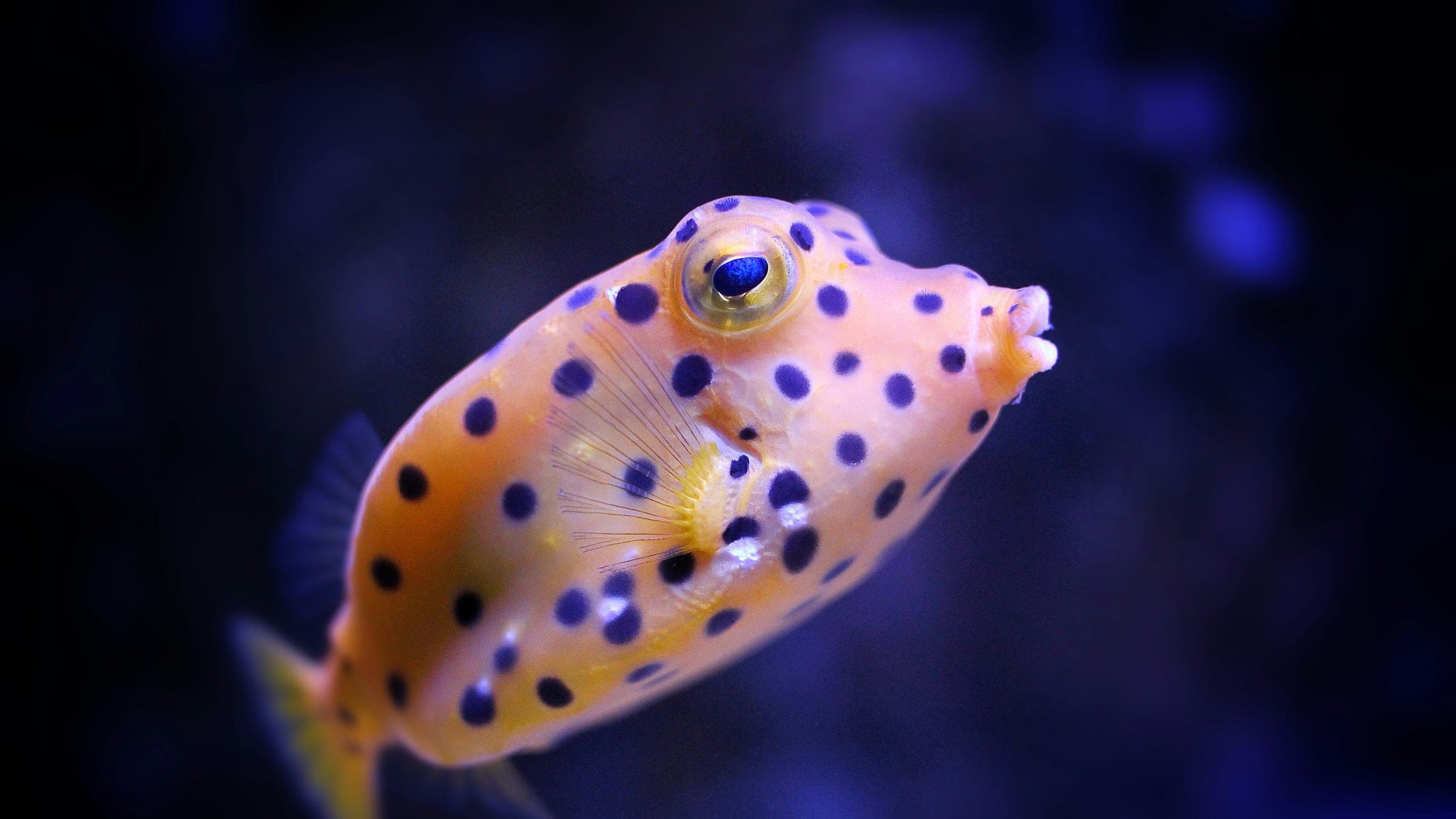
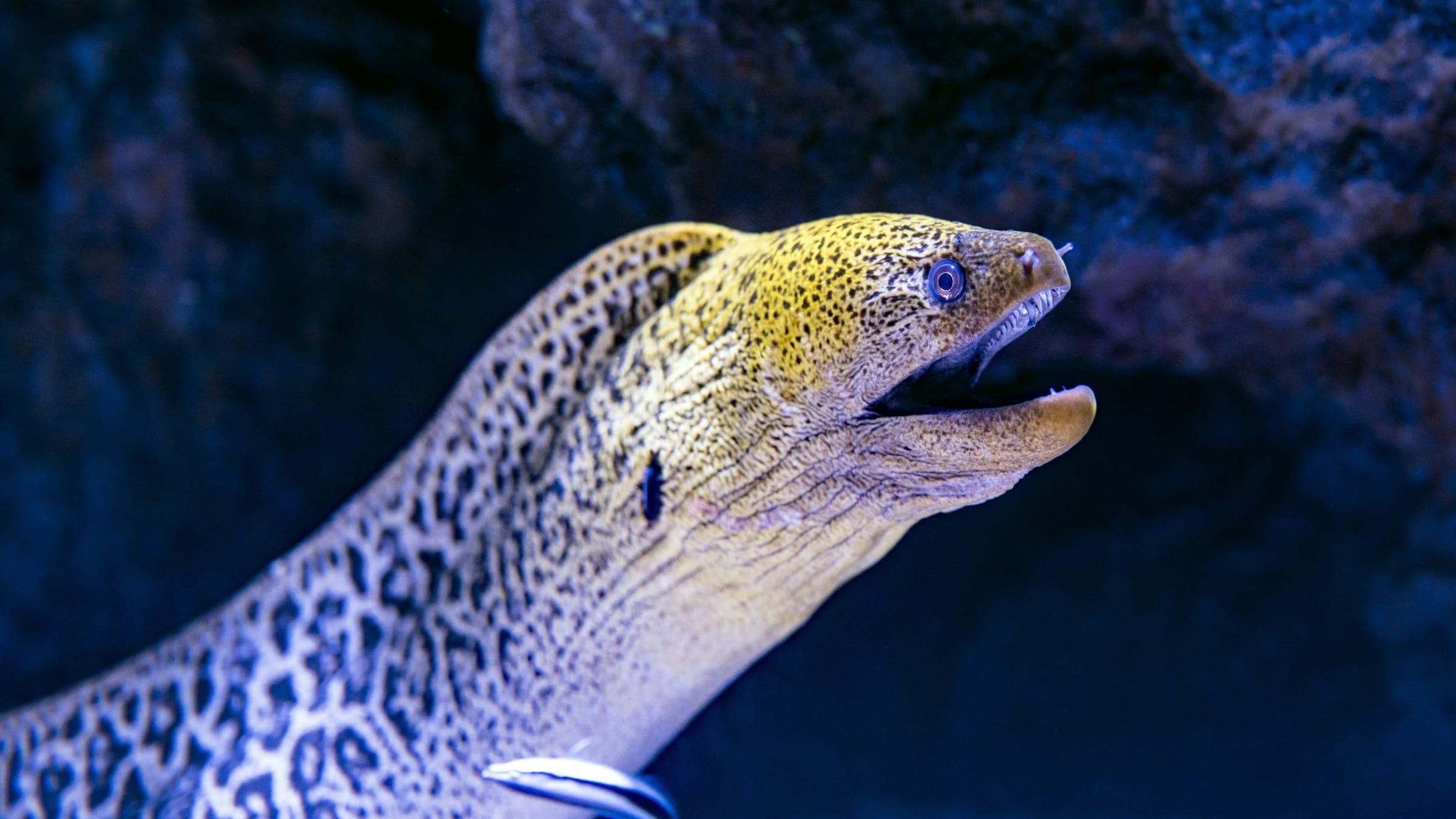
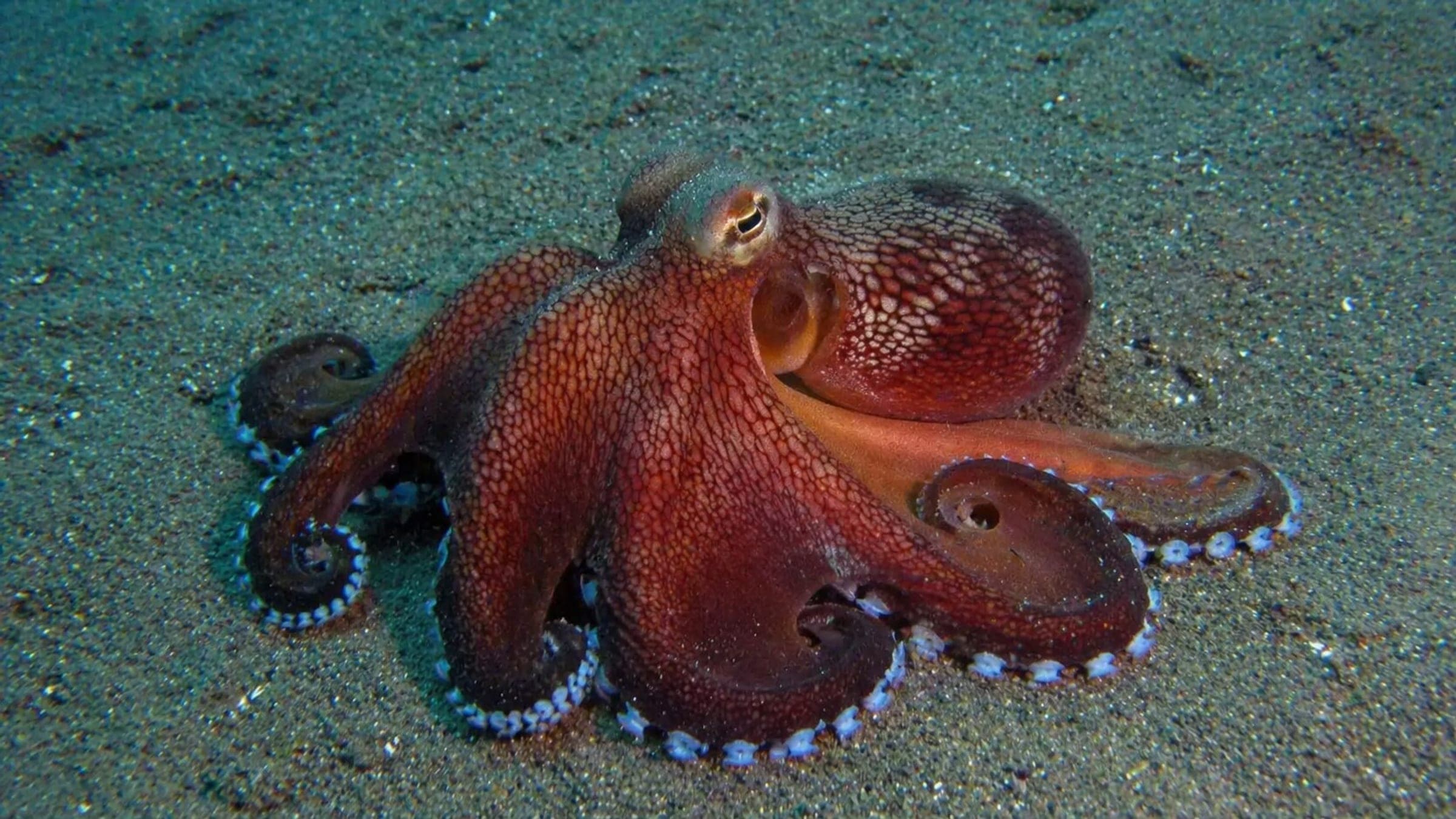
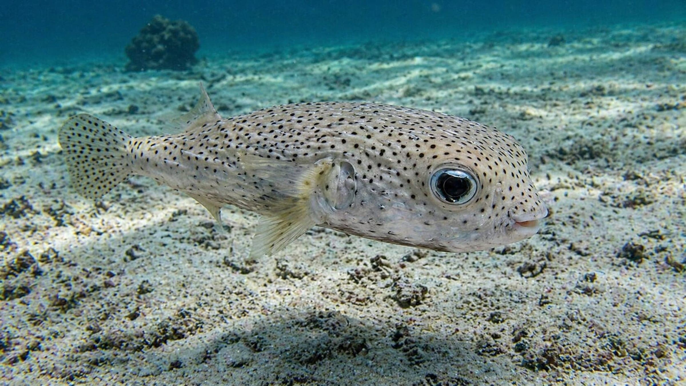
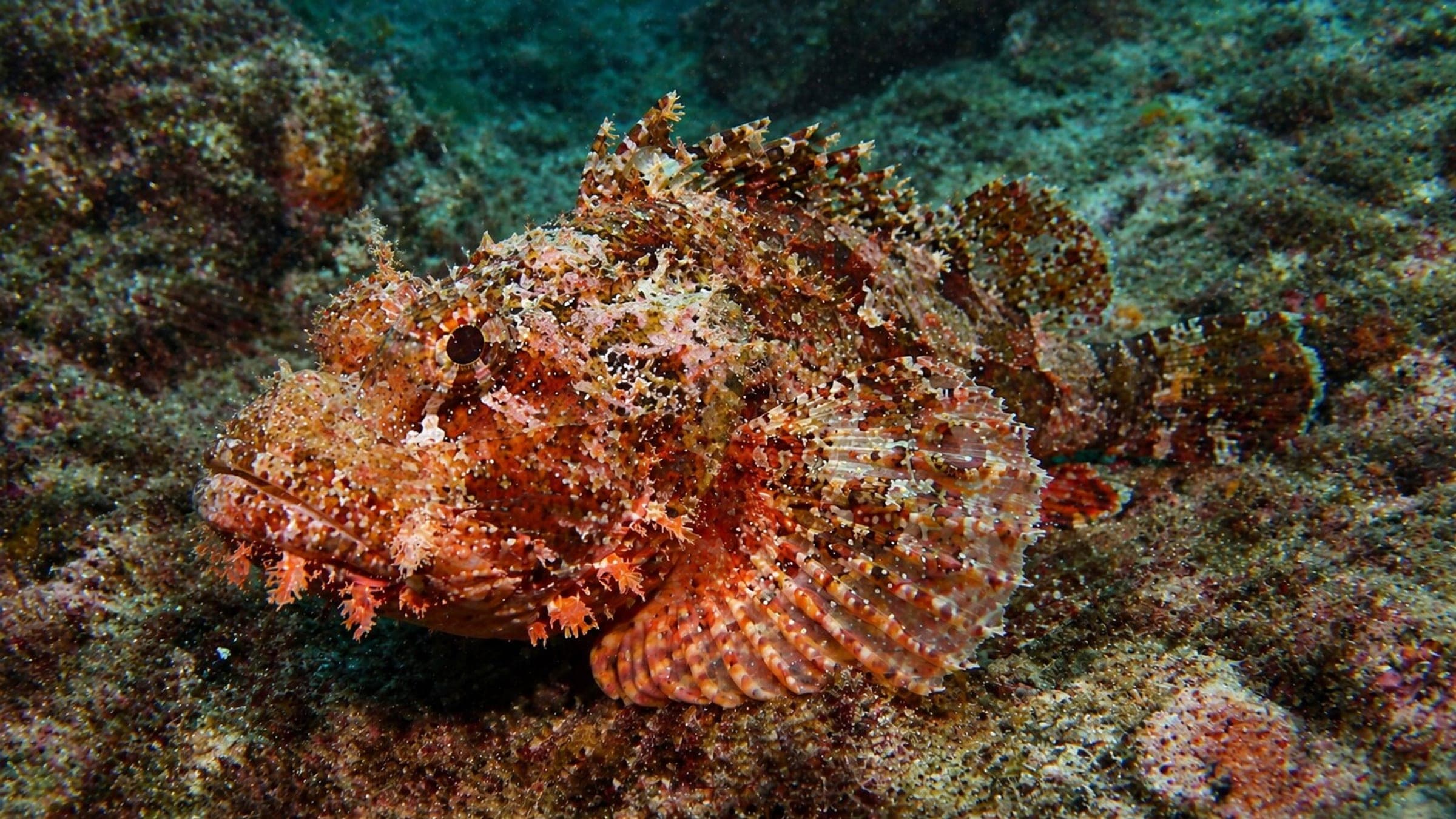
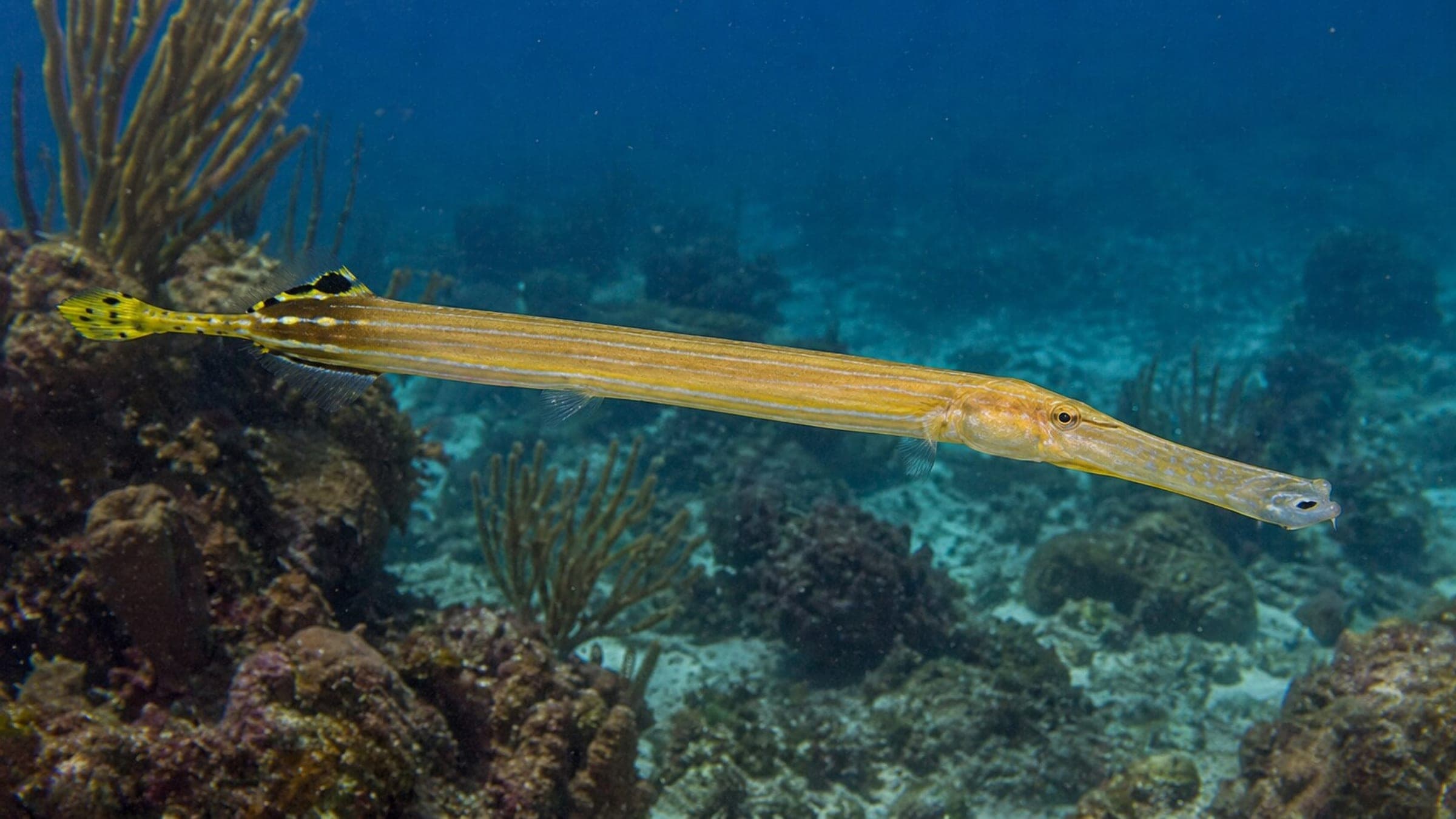
Species commonly reported at this site, with direct links into their wildlife guides.
Community dive logs and visit reports for this site.
Average conditions based on logged dives & visits.
Planning answers for access, conditions, timing, and site logistics.
Last Updated
Research Sources
Dry-season and weather baseline for Bequia.
Official Bequia dive context and reef/drift profile.
General SVG visibility baseline.
Bequia operator access, boat support, dock access, and rinse/storage service.
Know this site? Improve Spot Details.

Shallow Carriacou macro site with easy shore access
Easy macro reef with sand, rays and eels.
Shallow reef and beach dive on Carriacou with gentle conditions.
Twin-pinnacle Carriacou reef with coral growth and pelagic traffic.
Deep wall dive at the Sisters Rocks.