coralseascuba.com · Operator
Operator page with parking, trail, and river-entry notes.
Diver’s Hole: steep-trail Illinois River deep-pool dive
Save it, log a dive, or explore nearby on the map.
Save it to come back later
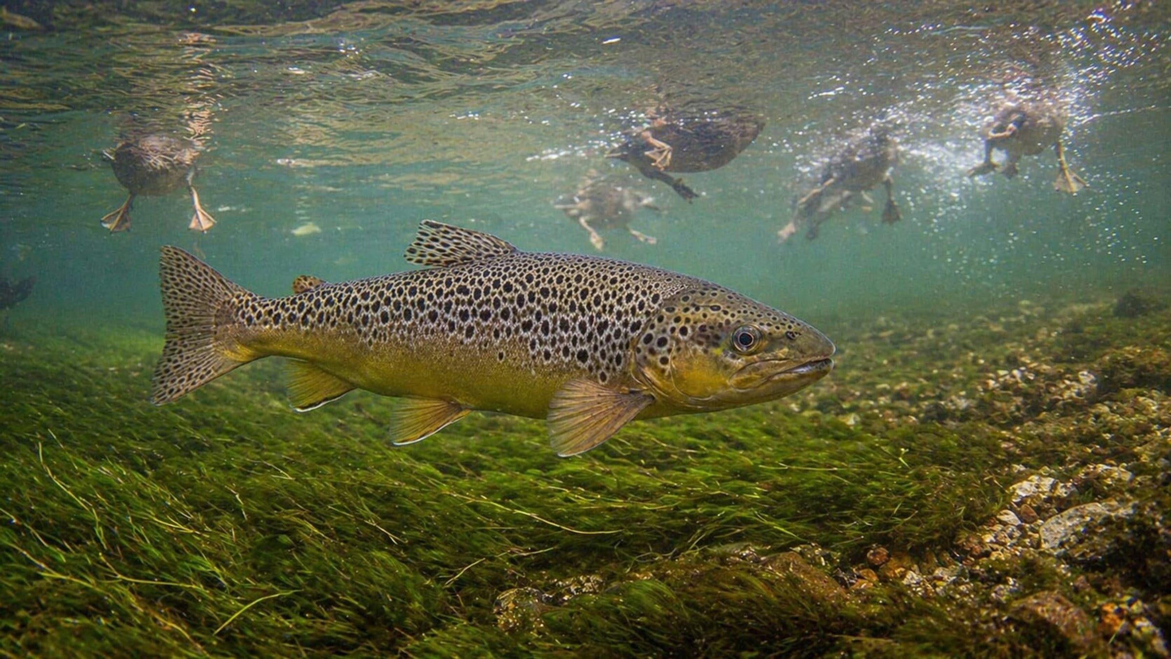
Diver’s Hole is a shore-access Illinois River dive where the river opens into a deep, protected pool. A short steep trail drops you from limited roadside parking to a small staging beach, with a larger beach across the river for extra room. It suits divers who want a simple river entry, calm-water windows, and a self-sufficient outing, but current and tight logistics still matter.
Conservative baseline from public research. No community dives logged yet.
Depth range, seasonality, and planning context.
Reported Depth
0m - 9m
Depth Note
Shore entry starts at the waterline and slopes into a deeper river pool; one directory guide lists a maximum depth around 9 m.
Typical Conditions
River environment where current is possible.
Hazards, restrictions, and access requirements.
Key Hazards
Safety Notes
Limited roadside parking, a steep trail, poison oak along parts of the approach, and no toilets make this a self-sufficient visit.
Access Restrictions
Parking is limited along the roadside; use approved pullouts and check current Forest Service orders before visiting.
Legal Notes
The site sits on Rogue River-Siskiyou National Forest land, so corridor rules can affect parking, alcohol, and fire use.
Community notes to help plan your visit.
Scuba Diving
The site is best treated as a self-sufficient river shore entry: limited parking, a steep descent, tight staging space, and possible current.
Use the planner to scan this week, inspect today in local time, and understand how exposure shapes conditions at Diver’s Hole.
Directional shelter context for incoming swell.
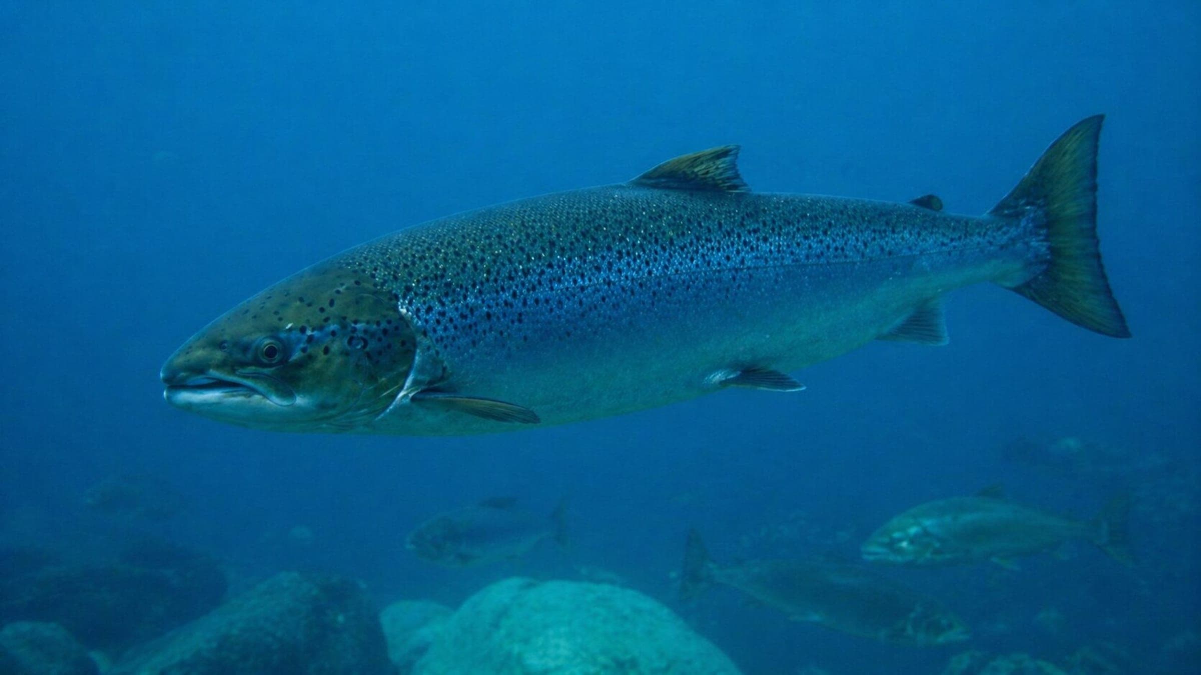
Species commonly reported at this site, with direct links into their wildlife guides.
Community dive logs and visit reports for this site.
No Dive Logs Yet
Be the first to log a dive at this spot and share your experience!
Average conditions based on logged dives & visits.
Planning answers for access, conditions, timing, and site logistics.
Last Updated
Research Sources
Operator page with parking, trail, and river-entry notes.
Official tourism guide with Illinois River corridor and crowding context.
Local guide with access, facilities, and crowding notes.
Forest Service alerts page with corridor rules and restriction context.
Know this site? Improve Spot Details.

Beach-entry cove dive on the southern Oregon coast.
Early Hole is a Smith River river dive with a clear training-friendly hole.
A surf-entry Brookings shore dive with kelp, rock structure, and a longer swim.
Rugged south-coast shore site on the Oregon coast.
Lone Ranch Beach is a kelp-lined shore dive with surf and boulder access.