When To Go Preview
Best overall window: April - May and September - October
Open Season Planner
Country Guide
Two oceans, a thousand microclimates, and a dive plan for every style
Updated Dec 16, 2025 • 14 sources
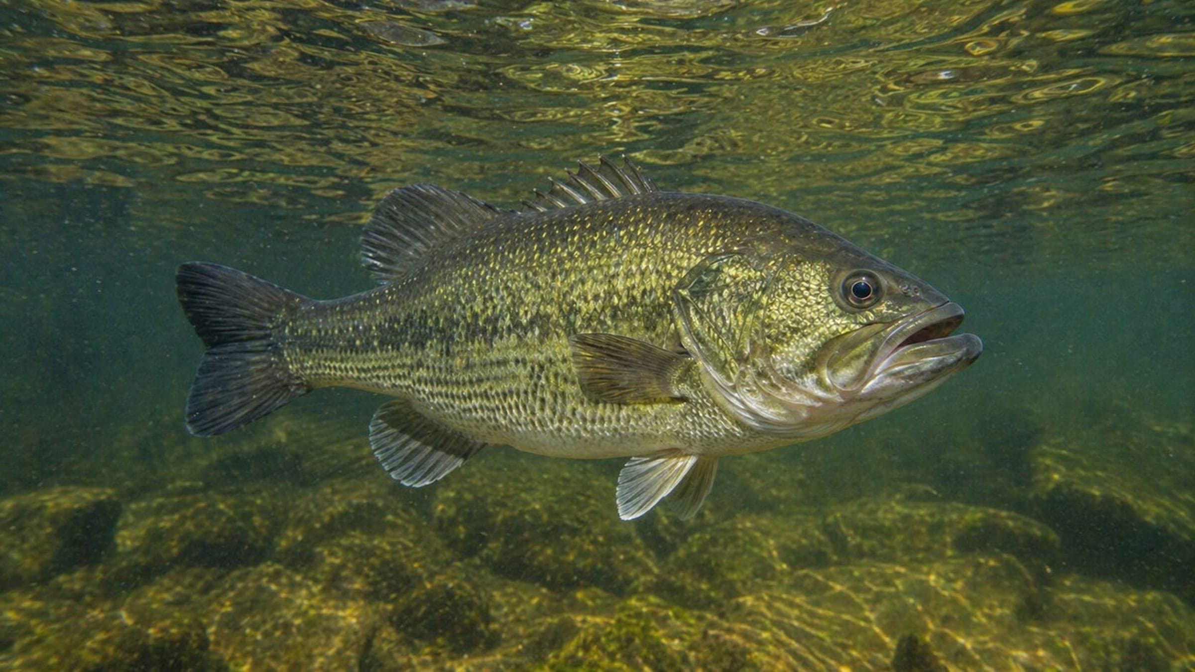
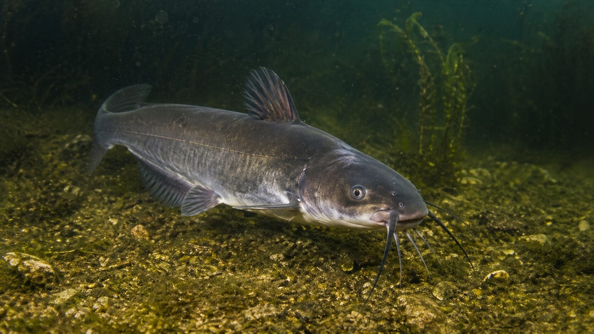
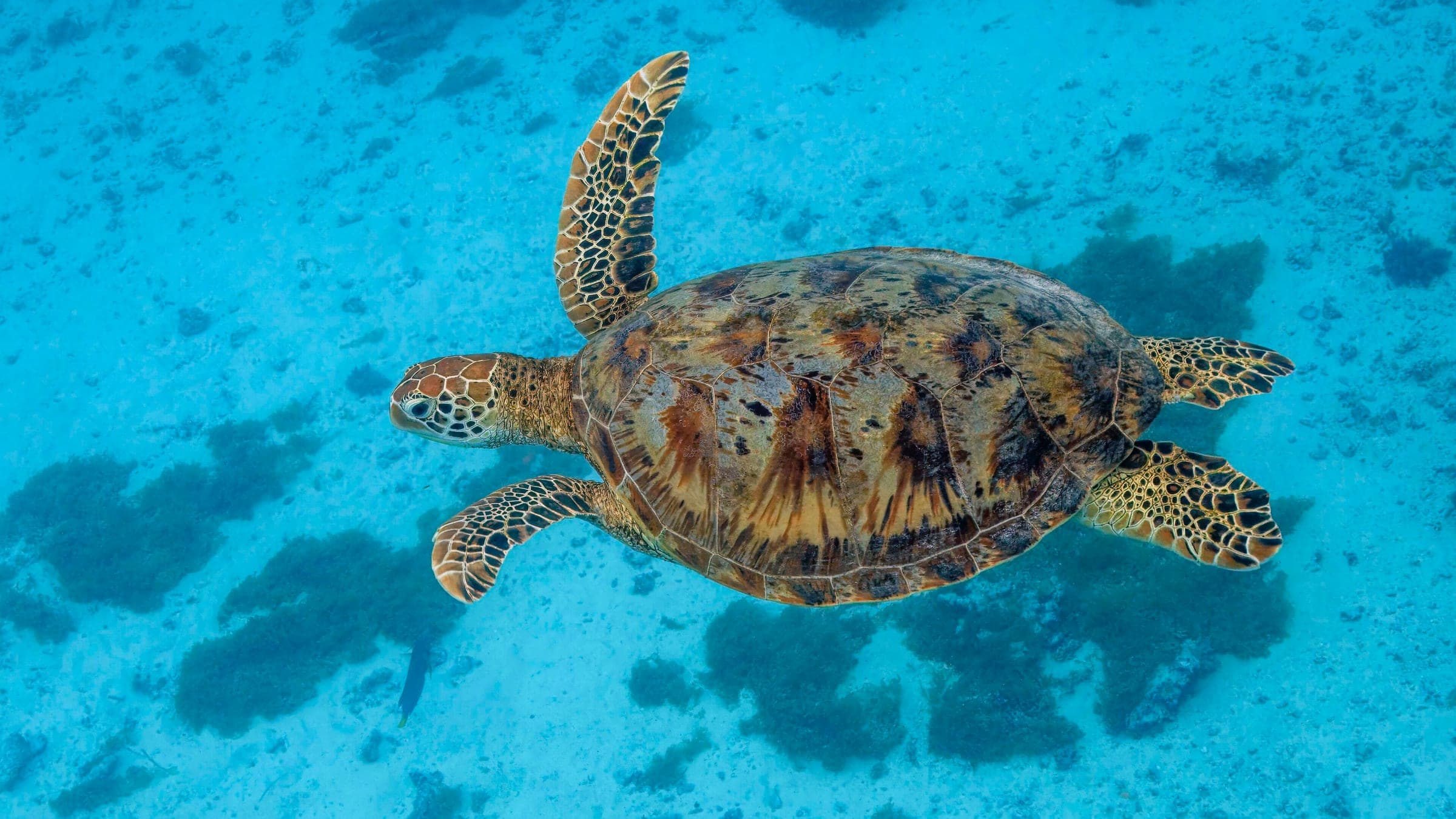
Top species linked to approved dive spots across United States of America.
Compare destinations and dive spots before opening the full plan.
DiveJourney country guides are living documents built from local knowledge, operator experience, and publicly available sources. Conditions, regulations, and logistics can change. Each guide shows its last update date and sources used.
Last updated: December 16, 2025 • 14 sources
If you see something inaccurate or outdated, you can submit an update. This is how the platform improves.
Receive new destination drops, profile upgrades, and dive map releases.
No spam. Just solid updates when something surfaces.
Overview
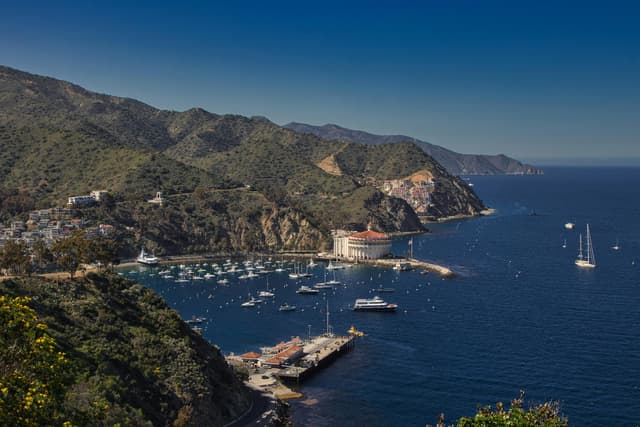
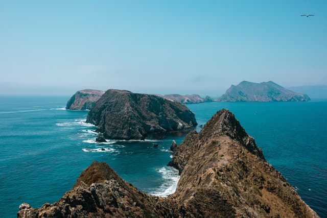
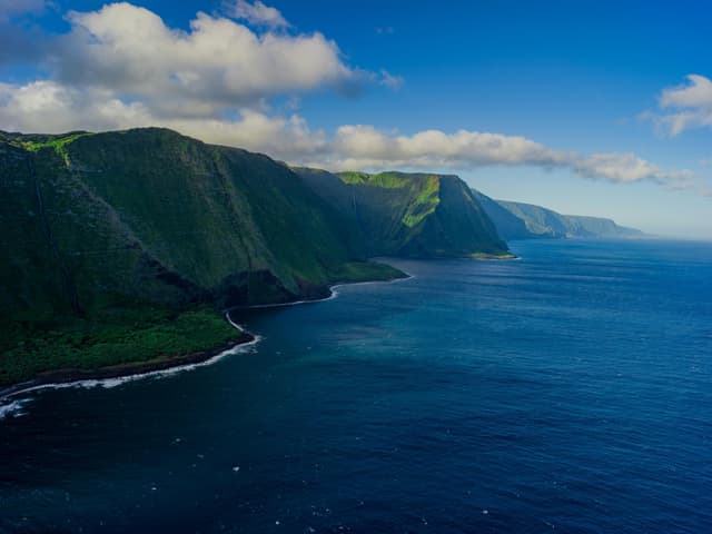
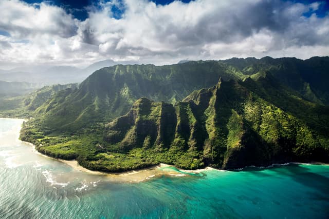
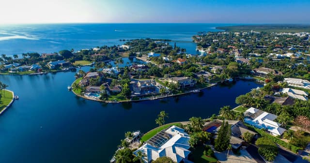
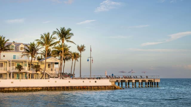
From warm-water reefs in the Florida Keys to kelp forests off California and volcanic drop-offs in Hawaii, the United States offers a full-spectrum dive, freedive, and snorkel playground across two oceans, the Gulf of Mexico, and clear freshwater springs and alpine lakes. At country scale, the key is choosing the right coast and season: Florida delivers year-round reef and wreck diving with peak hurricane risk in late summer; Hawaii is steady and warm with winter north swells and humpback whales; California shines for kelp, sea lions, and macro when swell is low and visibility improves in late summer and fall; inland, Florida springs and Lake Tahoe provide cold, clear training and specialty dives. Strong infrastructure, broad flight access, and a mature dive industry make logistics easier than many destinations, but local rules vary by state, park, and sanctuary. Plan conservatively, respect marine life, and let conditions choose your exact sites.
Choose between tropical reefs, volcanic island drop-offs, kelp forests, offshore banks, and freshwater springs without leaving one country.
Stack wrecks and reefs in the Florida Keys, manta night dives in Hawaii, and sea-lion kelp dives in California on the same trip calendar.
Frequent flights, lots of operators, and widespread medical access make logistics straightforward, especially in South Florida, Hawaii, and coastal California.
NOAA National Marine Sanctuaries, national parks, and state MPAs support conservation, with common rules like no-touch diving and mooring-buoy use where provided.
139 linked spots
Best overall window: April - May and September - October
Open Season PlannerEntry, transport, and gear planning are split in the dedicated logistics section.
Open LogisticsSafety and conservation guidance is organized by activity and risk.
Open Safety