floridakeys.noaa.gov · Official
NOAA shipwreck-trail page for the Benwood Wreck.
Shallow Key Largo wreck dive off French Reef
Save it, log a dive, or explore nearby on the map.
Save it to come back later
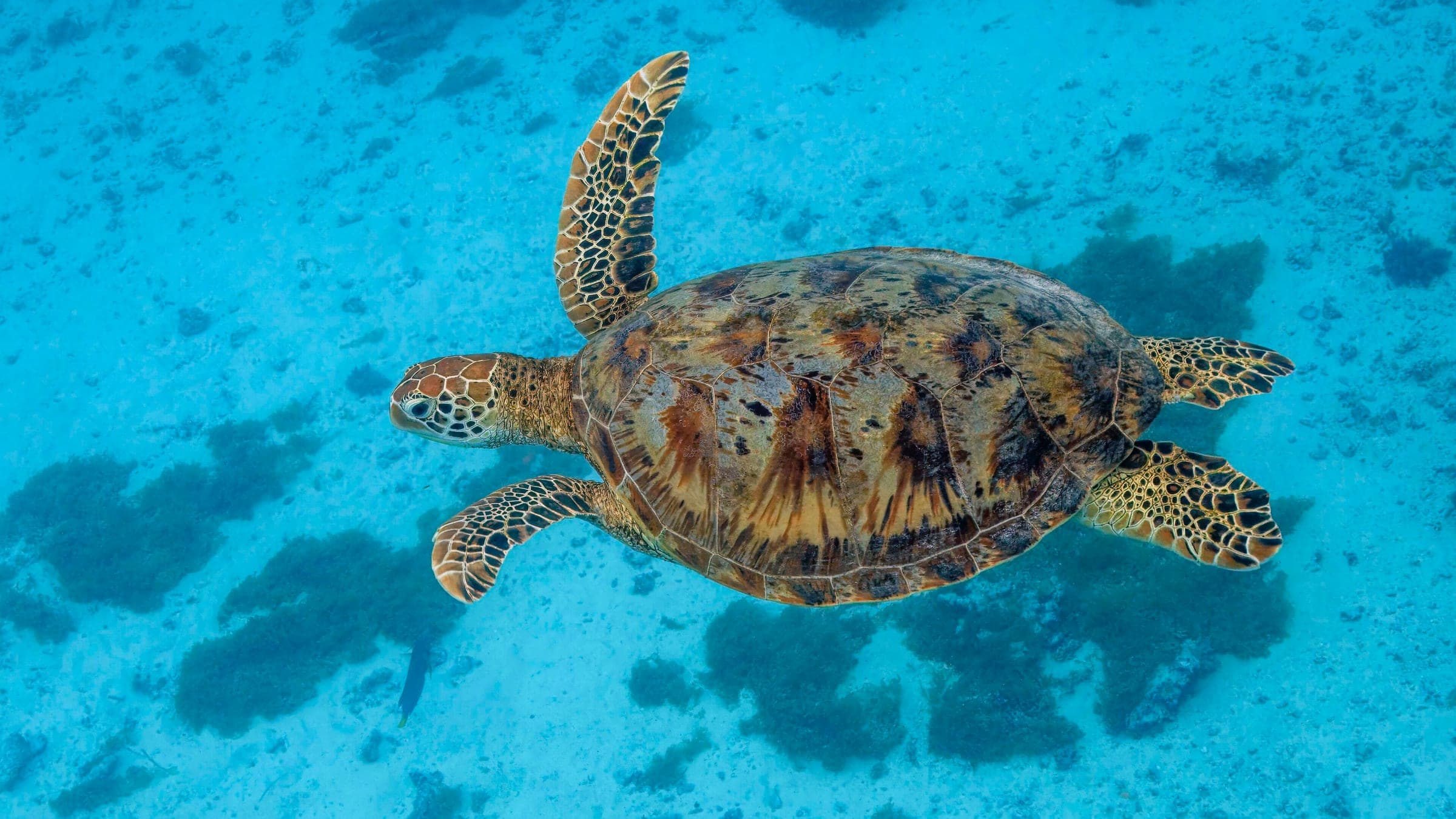
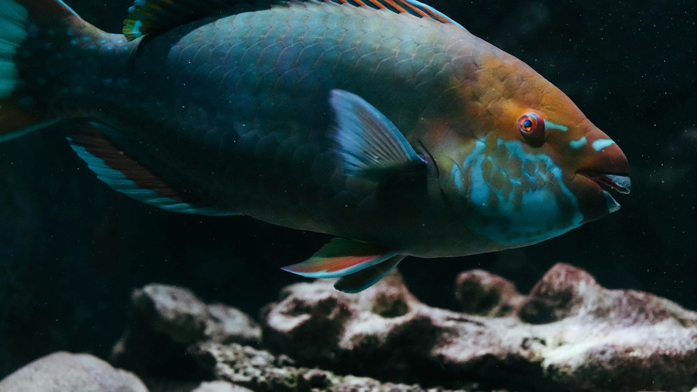
SS Benwood is a shallow Key Largo wreck dive on a WWII-era freighter that now sits as an artificial reef between French Reef and Dixie Shoals. It is an easy boat dive with broad visibility, gentle to moderate current, and a turtle-and-parrotfish wreck profile that works well for beginners, night dives, and relaxed recreational wreck days.
Conservative baseline from public research. No community dives logged yet.
Depth range, seasonality, and planning context.
Reported Depth
7m - 14m
Depth Note
The Benwood lies in roughly 25-45 ft (about 7.5-14 m) of water between French Reef and Dixie Shoals.
Best Season
Year-round
Typical Conditions
Open-water wreck conditions with light-to-medium current and generally good visibility.
Hazards, restrictions, and access requirements.
Key Hazards
Safety Notes
Watch current on the open-water approach and keep good buoyancy around the broken hull and sandy edges.
Access Restrictions
Boat access only; plan on a guided wreck charter and stay within the site briefing.
Legal Notes
The wreck is a protected resource inside the Florida Keys National Marine Sanctuary.
Community notes to help plan your visit.
Scuba Diving
Popular wreck diving with enough structure for careful exploration and night dives.
Freediving
Not a freedive-first site; the wreck profile and open-water conditions make scuba the better fit.
Snorkeling
The shallow wreck profile makes calm-water snorkeling possible, though the site is best explored by scuba.
Use the planner to scan this week, inspect today in local time, and understand how exposure shapes conditions at SS Benwood (Wreck).
Directional shelter context for incoming swell.
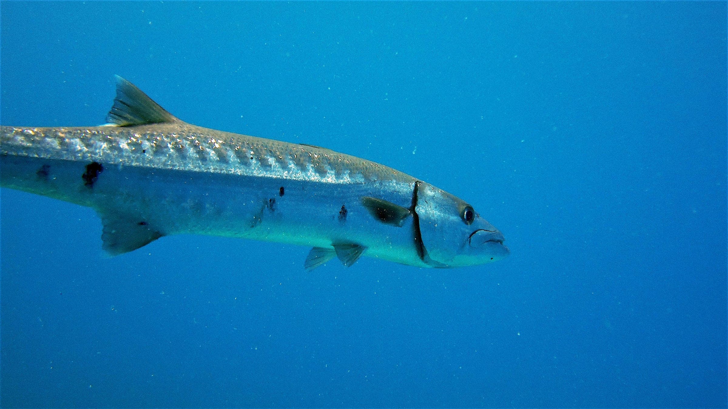
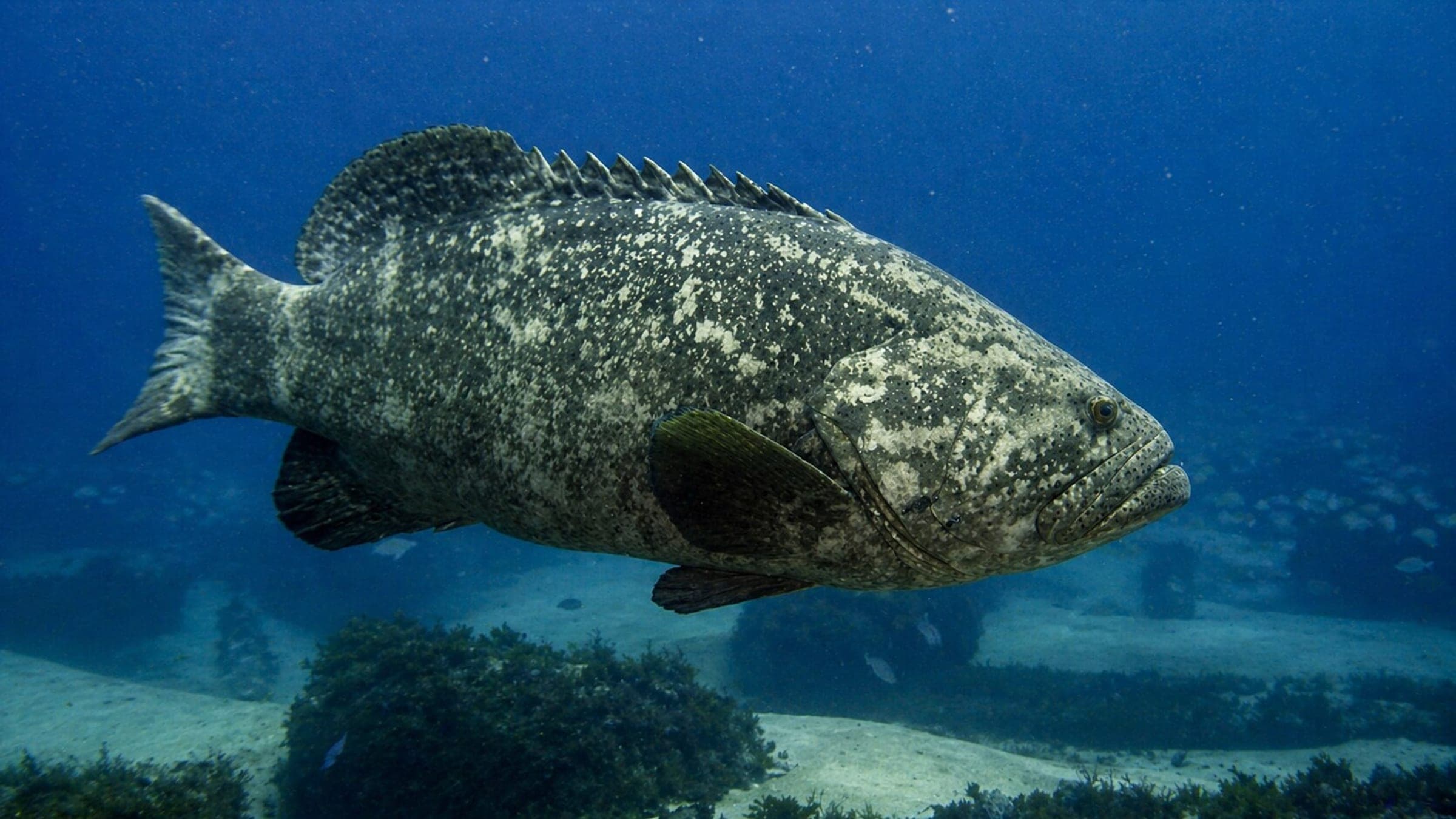
Species commonly reported at this site, with direct links into their wildlife guides.
Community dive logs and visit reports for this site.
No Dive Logs Yet
Be the first to log a dive at this spot and share your experience!
Average conditions based on logged dives & visits.
Planning answers for access, conditions, timing, and site logistics.
Last Updated
Research Sources
NOAA shipwreck-trail page for the Benwood Wreck.
Dive-shop page with depth, current, and beginner-dive notes.
Directory listing with depth, visibility, current, and species details.
Independent wreck feature highlighting the site as a beginner-friendly night-dive favorite.
Independent review mentioning sea turtles and parrotfish on the wreck.
Know this site? Improve Spot Details.

Shallow Key Largo wreck with easy penetration.
Protected Key Largo swim-through with a star coral crown.
French Twist: shallow Key Largo reef with swim-throughs.
Spiegel Grove is a large boat-access wreck dive off Key Largo.