divebrockville.com · Operator
Boat access, U.S.-side trip logistics, wreck profile, and departure requirements.
Keystorm is a historic St. Lawrence wreck with a broad profile.
Save it, log a dive, or explore nearby on the map.
Save it to come back later
Keystorm is a historic steel freighter wreck in the St. Lawrence River near Chippewa Bay. The wreck lies on its side, so divers can start shallow on the bow, follow the hull toward the stern, and work through large structure, engine-room areas, and open holds. It is best planned as a boat dive with river flow, cold-water conditions, and cross-border logistics in mind.
Conservative baseline from public research. No community dives logged yet.
Depth range, seasonality, and planning context.
Reported Depth
6.1m - 33.5m
Depth Note
Wreck lies from 20 to 110 ft.
Best Season
Late spring through fall, with clearer water often later in the season.
Typical Conditions
Freshwater wreck conditions with variable river flow, moderate visibility, and a cold-water feel outside peak summer.
Hazards, restrictions, and access requirements.
Safety Notes
Plan the dive to match training and experience due to the wide depth range, with the deepest sections reaching 110 ft.
Access Restrictions
Boat access only; cross-border planning may be needed for U.S.-side departures.
Legal Notes
If departing from Canada, confirm passport and customs requirements before the dive date.
Community notes to help plan your visit.
Scuba Diving
Depth range supports dives for different experience levels, from shallower portions to deeper sections near 110 ft.
Freediving
Not a practical freedive target; the useful wreck route drops too deep and includes overhead wreck sections.
Snorkeling
Not a practical snorkel site; the main structure sits too deep and spreads too broadly for surface-only viewing.
Use the planner to scan this week, inspect today in local time, and understand how exposure shapes conditions at Keystorm.
Directional shelter context for incoming swell.
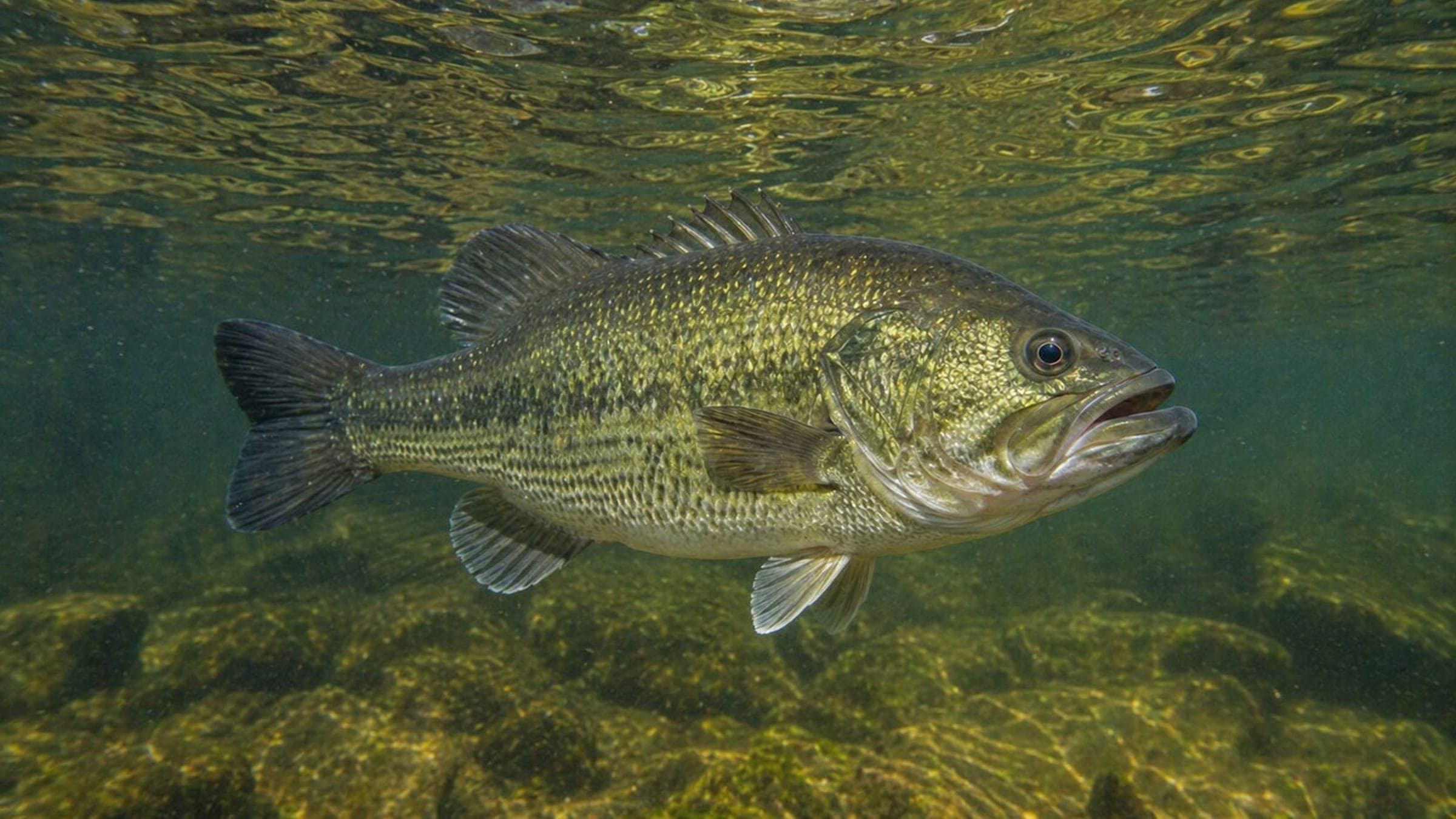
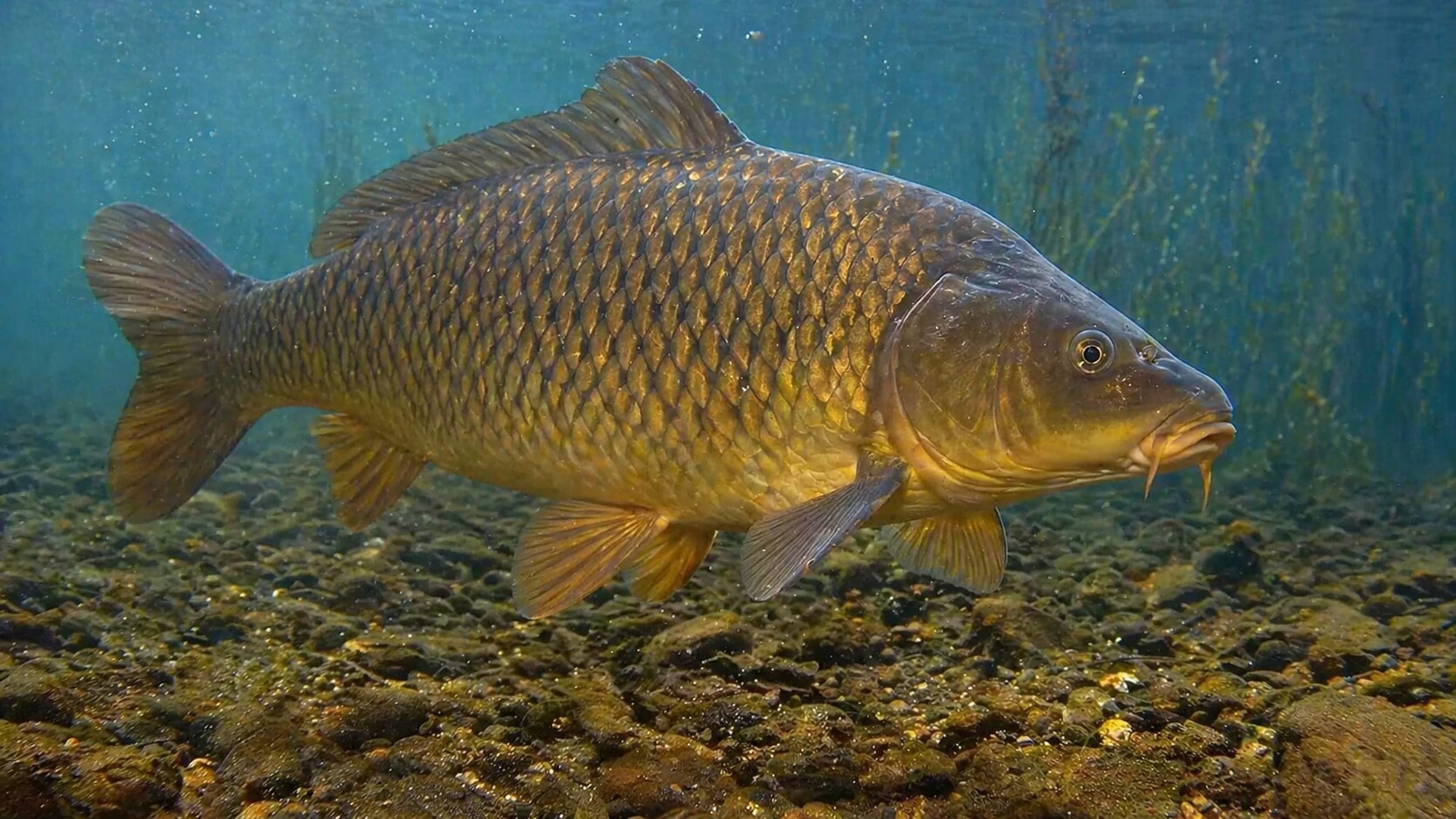
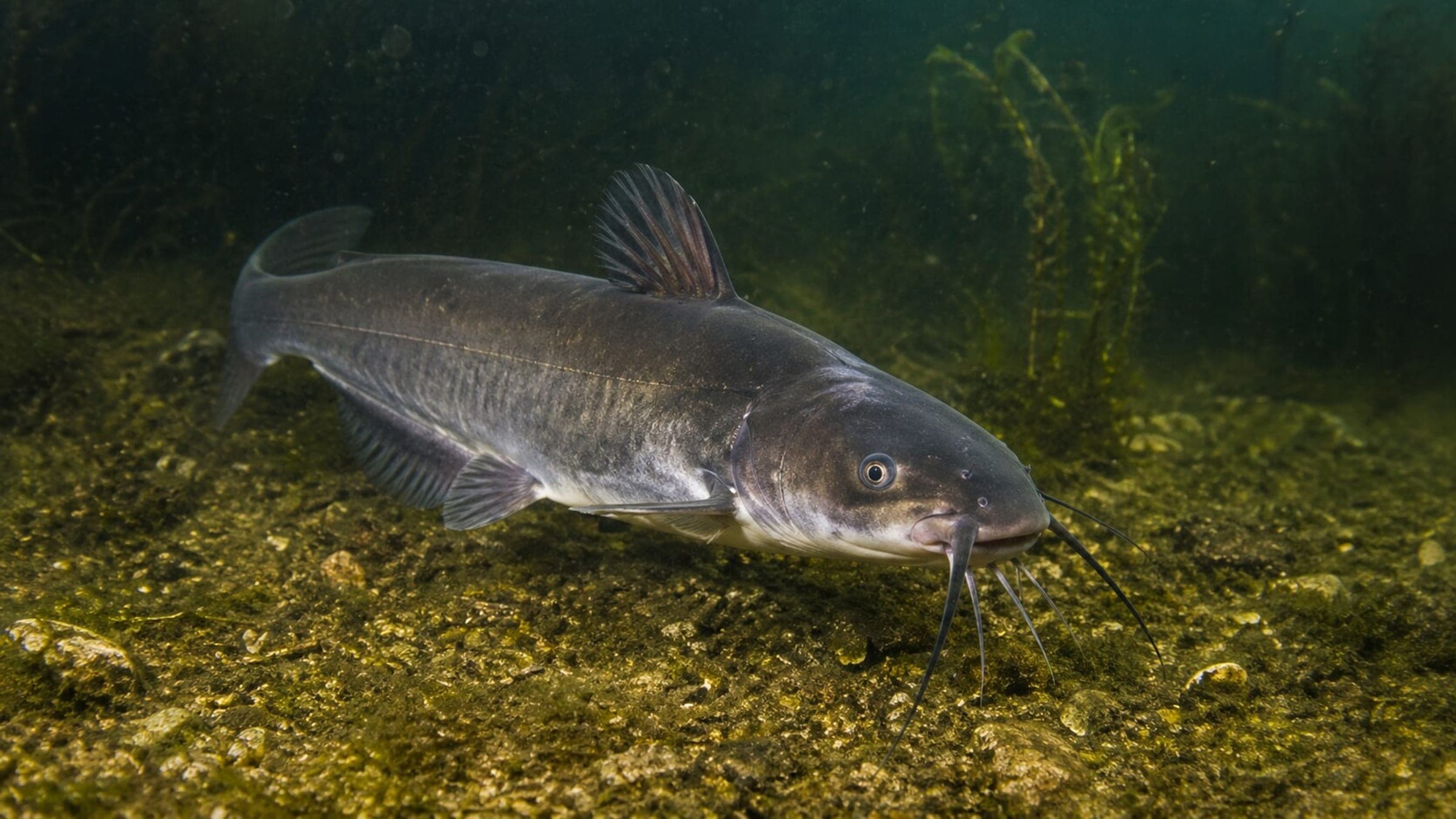
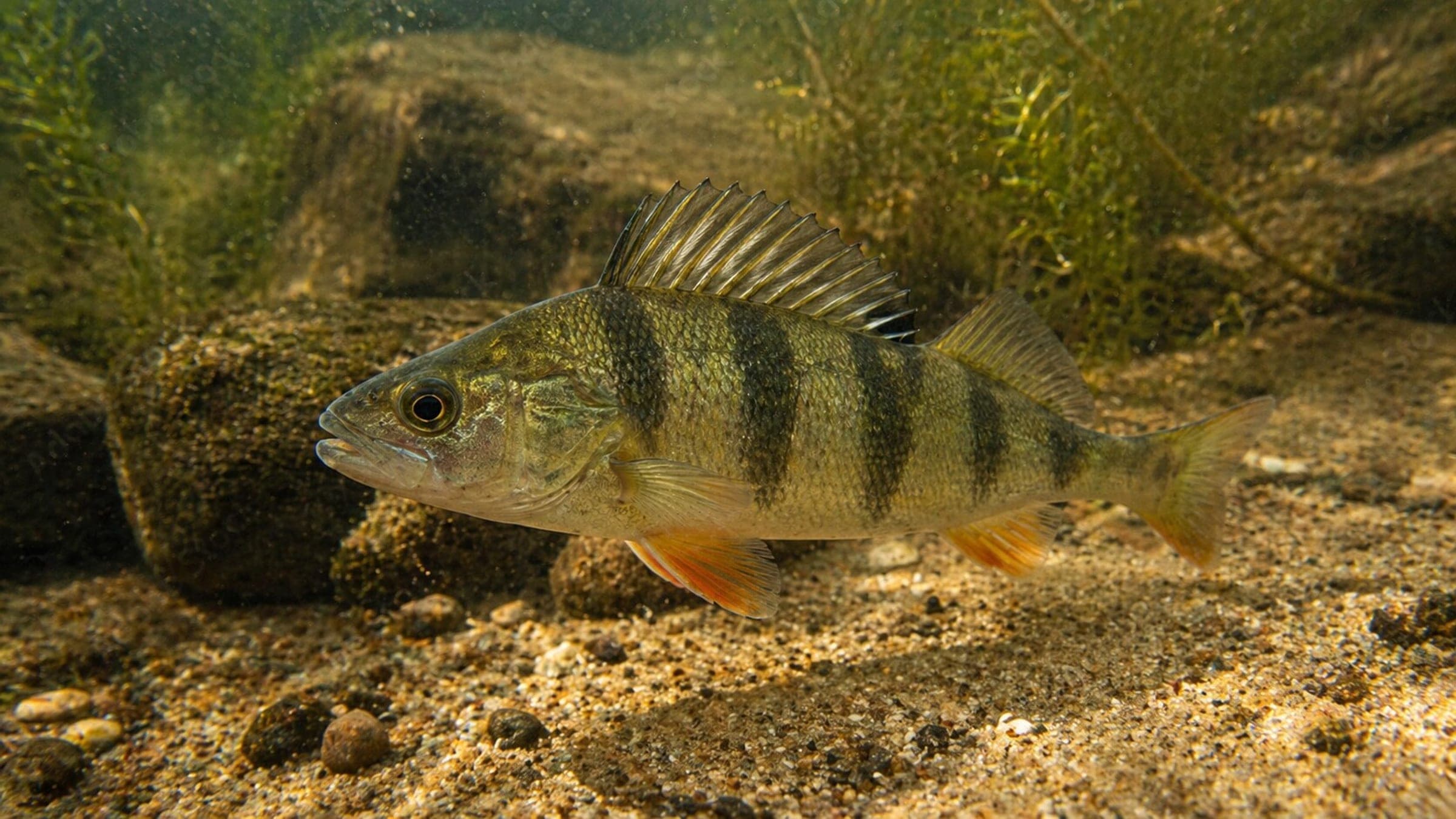
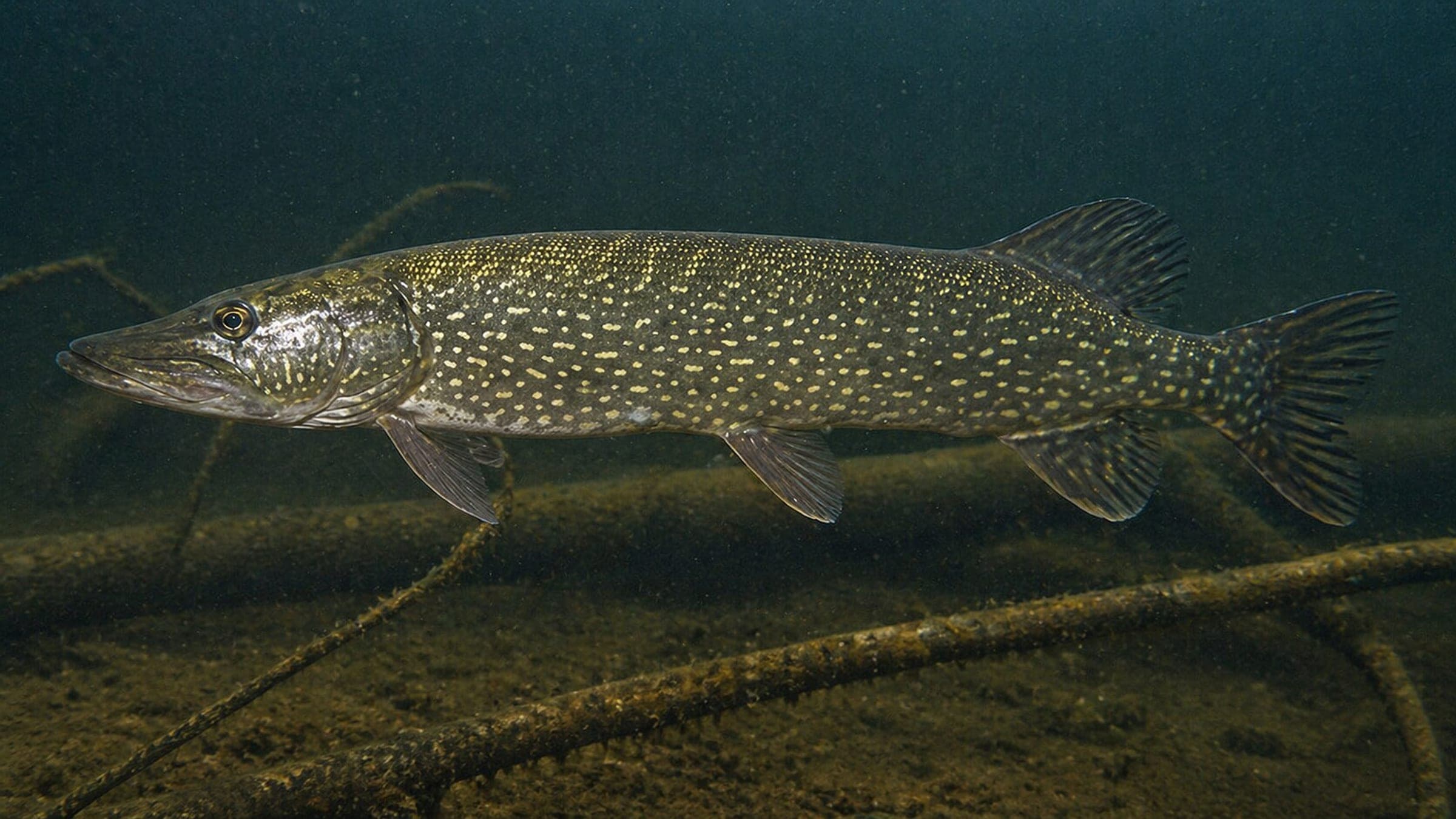
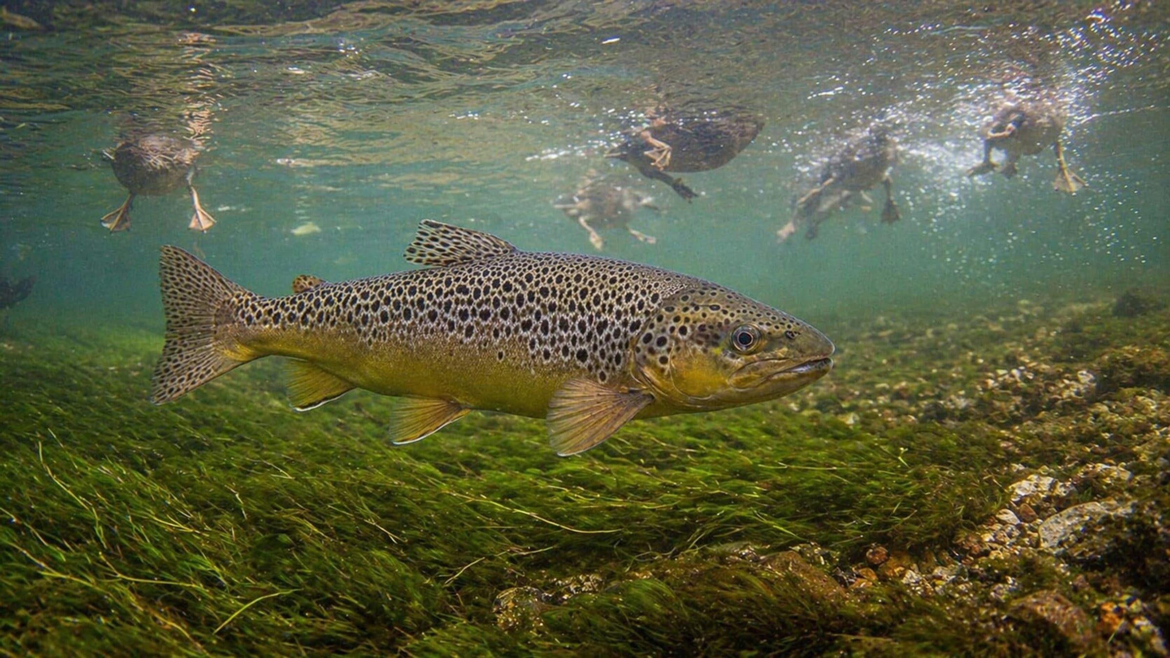
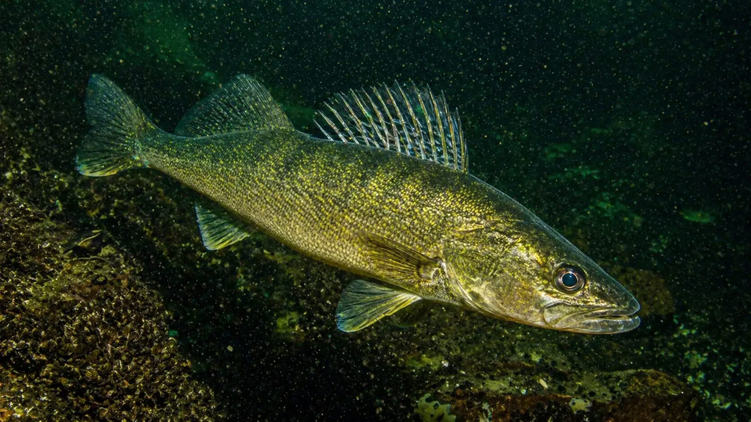
Species commonly reported at this site, with direct links into their wildlife guides.
Community dive logs and visit reports for this site.
No Dive Logs Yet
Be the first to log a dive at this spot and share your experience!
Average conditions based on logged dives & visits.
Planning answers for access, conditions, timing, and site logistics.
Last Updated
Research Sources
Boat access, U.S.-side trip logistics, wreck profile, and departure requirements.
Boat access, visibility, current, and depth profile.
Regional wreck-diving context, clarity, and charter support.
Current variability, seasonal visibility, and local popularity.
Know this site? Improve Spot Details.

Boat-access wreck dive on the St. Lawrence River
Deep freshwater wreck with current, traffic and artifacts.
Bonnie Castle: shore-access river training dive park
Historic Islander (Wreck) with easy shore access.
Lise Cottage is a private freshwater dive site with clear water.