1000islands.com · Tourism
Local tourism wreck overview with current and popularity notes.
Historic Islander (Wreck) with easy shore access.
Save it, log a dive, or explore nearby on the map.
Save it to come back later
Islander is a historic shore-access wreck dive in Alexandria Bay on the U.S. side of the St. Lawrence River. The site uses a public dive park with parking and a short walk to the water, and the wreck slopes from a shallower stern into a deeper bow section. Expect a straightforward freshwater wreck with clear-water days, a light river current, and a profile that rewards steady buoyancy and relaxed planning.
Conservative baseline from public research. No community dives logged yet.
Depth range, seasonality, and planning context.
Reported Depth
4.6m - 18.3m
Depth Note
The wreck sits around 15 ft at the stern and about 60 ft at the bow, with much of the site in the 20-60 ft band.
Typical Conditions
Easy shore access, mild river flow, and visibility that often sits around 50 ft.
Hazards, restrictions, and access requirements.
Key Hazards
Safety Notes
Watch river traffic, plan for a light current, and keep buoyancy steady on the wreck slope.
Community notes to help plan your visit.
Scuba Diving
Best suited to relaxed recreational scuba on a shore-access wreck with a gentle slope and mild river flow.
Freediving
Not a primary freedive target; the wreck profile and river flow make scuba the more practical fit.
Snorkeling
Not a strong snorkel site beyond the surface entry area.
Use the planner to scan this week, inspect today in local time, and understand how exposure shapes conditions at Islander (Wreck).
Directional shelter context for incoming swell.
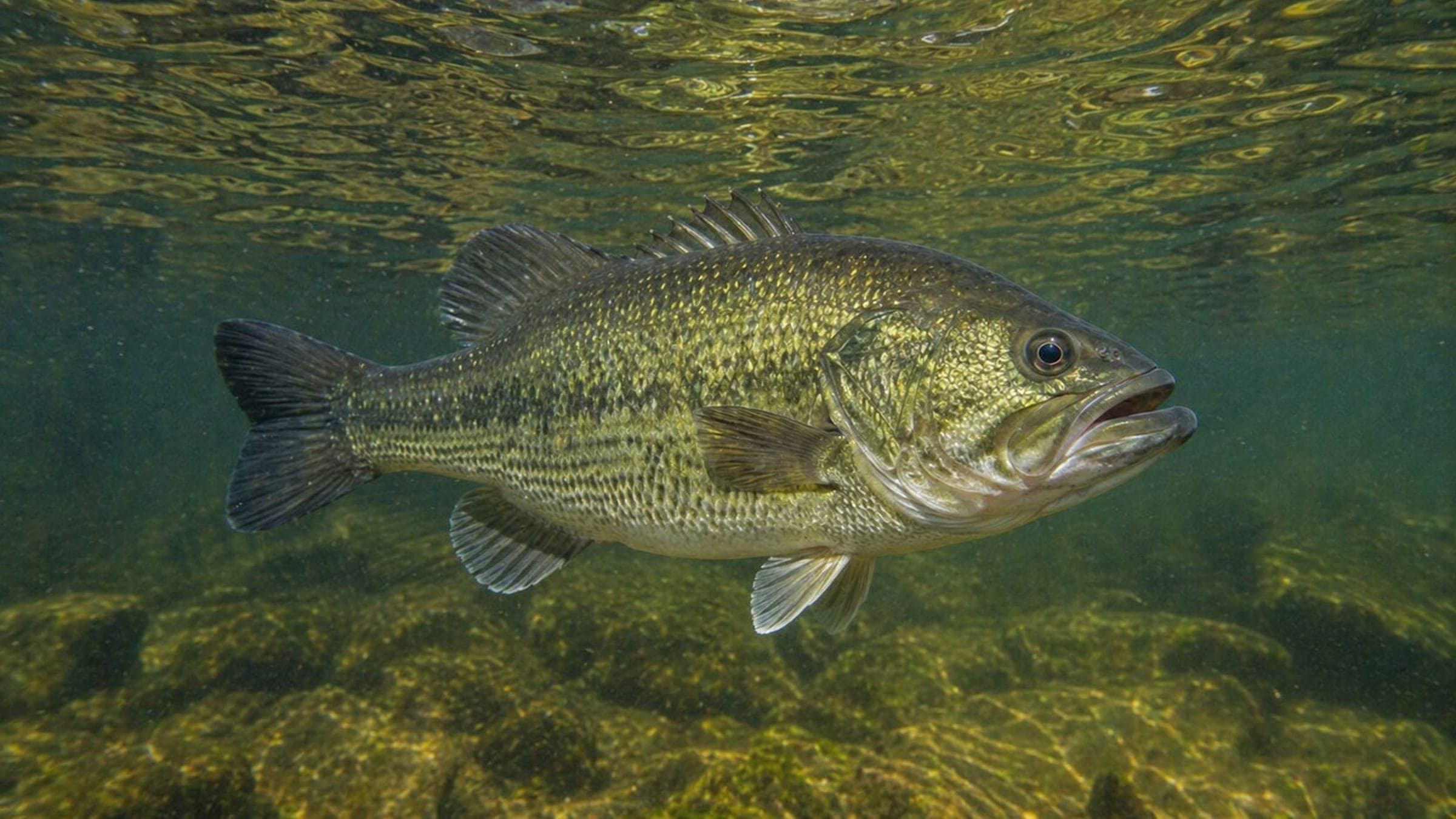
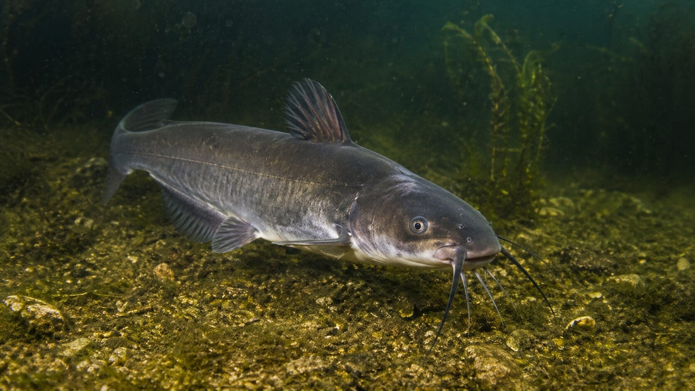
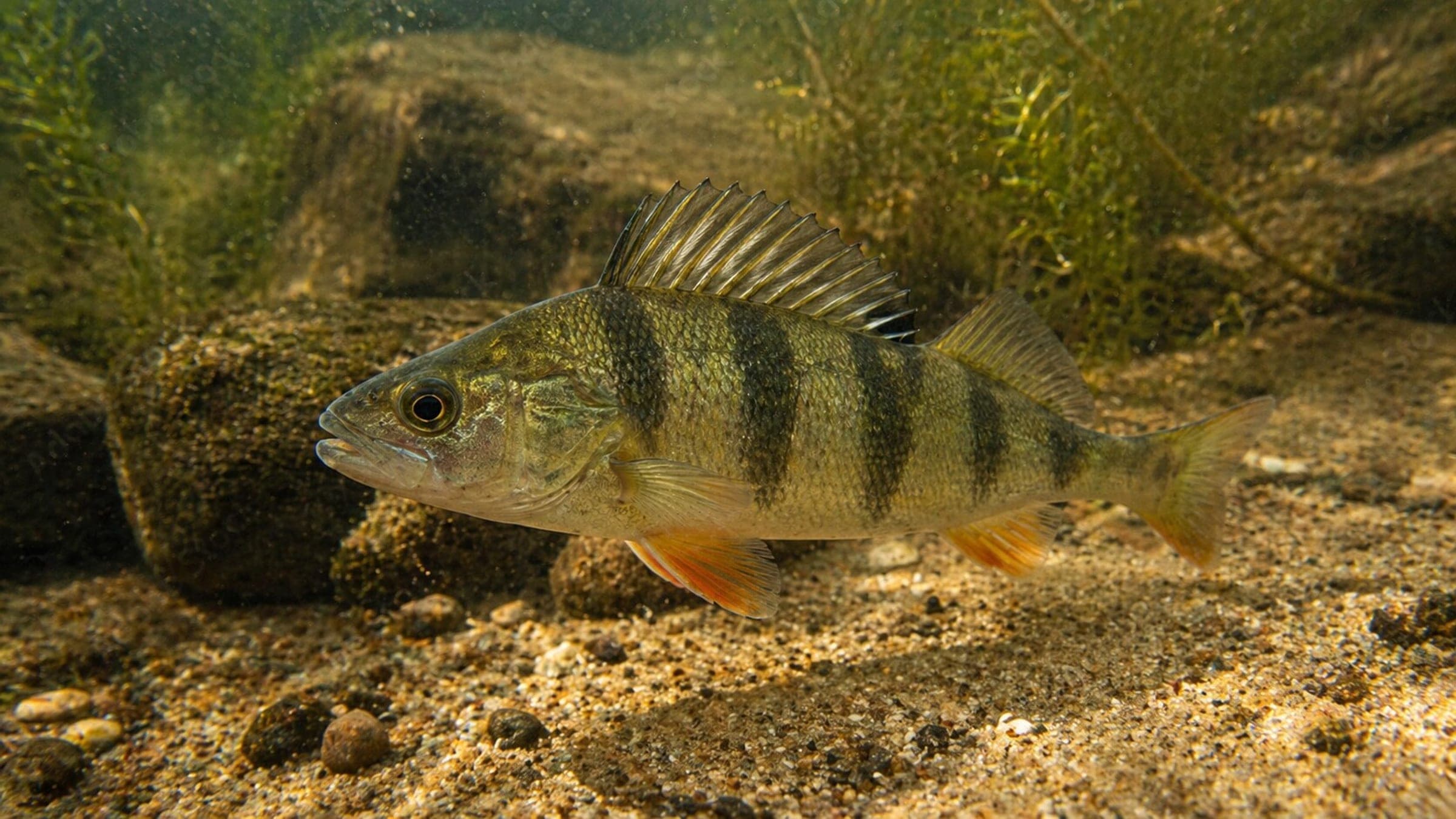
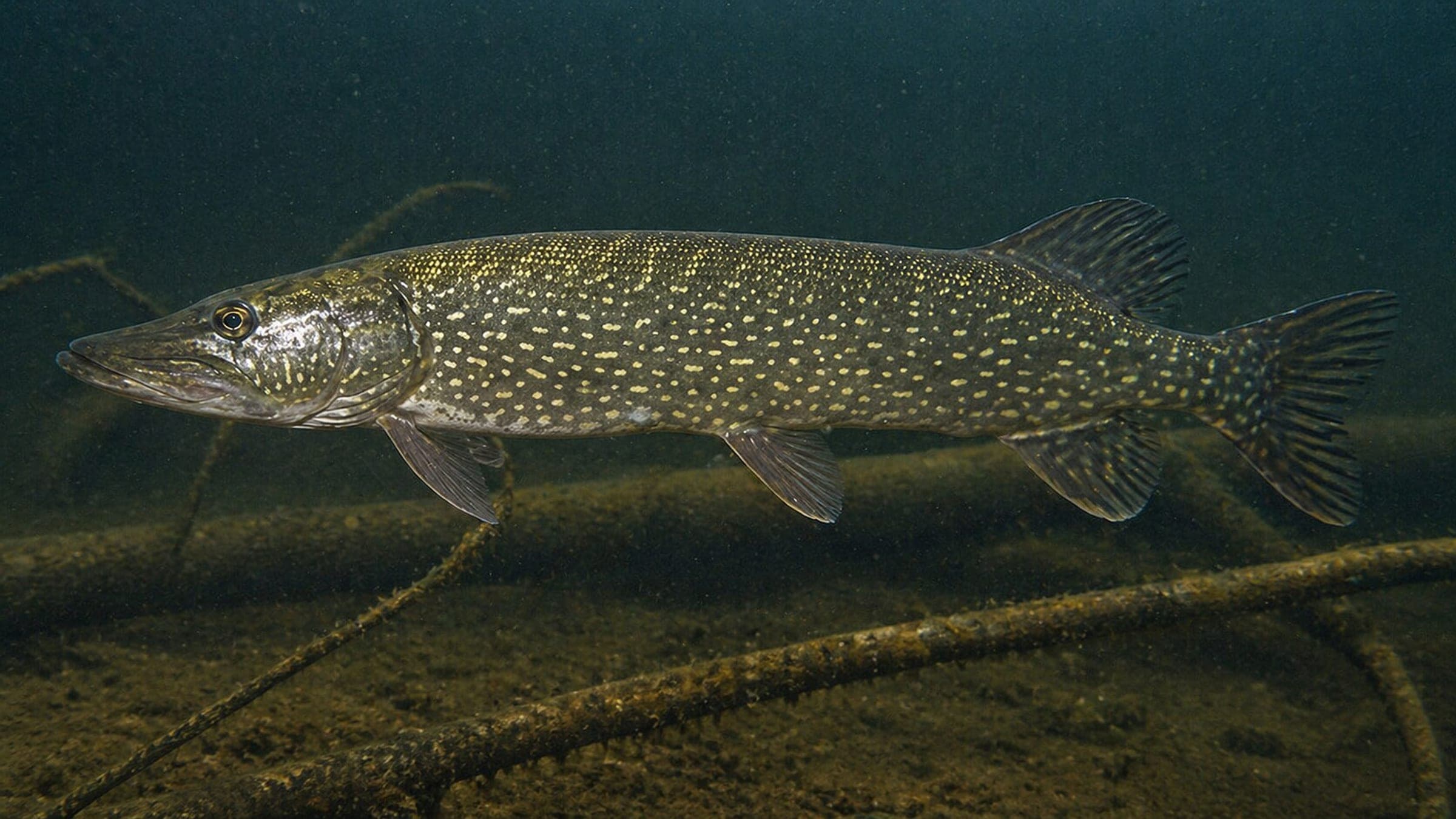
Species commonly reported at this site, with direct links into their wildlife guides.
Community dive logs and visit reports for this site.
No Dive Logs Yet
Be the first to log a dive at this spot and share your experience!
Average conditions based on logged dives & visits.
Planning answers for access, conditions, timing, and site logistics.
Last Updated
Research Sources
Local tourism wreck overview with current and popularity notes.
Additional local writeup on shore access and on-site support.
Official chamber listing for the dive park and pavilion.
Official shore-diving page with access, depth, and site history.
Magazine feature with pike on the Islander wreck.
Know this site? Improve Spot Details.

Bonnie Castle: shore-access river training dive park
Deep freshwater wreck with current, traffic and artifacts.
Lise Cottage is a private freshwater dive site with clear water.
A E Vickery is a beginner-friendly boat reef with clear water.
Keystorm is a historic St. Lawrence wreck with a broad profile.
Boat-access wreck dive on the St. Lawrence River