
www.gotostcroix.com · Tourism
Butler Bay conditions, boat approach, and visibility.
Historic anchor dive in Butler Bay, St. Croix.
Save it, log a dive, or explore nearby on the map.
Save it to come back later
Triton's Anchor is a shallow historic anchor in Butler Bay on the west end of St. Croix. It lies loose on the seafloor and is believed to date from the 17th to 19th century. The anchor may have been uncovered during Hurricane Maria and now serves as structure that draws local sea life. Butler Bay is usually approached by boat because the site sits offshore and a little current can be present.
Conservative baseline from public research. No community dives logged yet.
Depth range, seasonality, and planning context.
Reported Depth
7m - 8m
Depth Note
Historic anchor lies in about 25 feet of water.
Best Season
Year-round; calmer sea states are best.
Typical Conditions
Fairly calm and sheltered from northerly swells, with a slight current and very good visibility.
Hazards, restrictions, and access requirements.
Key Hazards
Safety Notes
Keep a close eye on your position in the bay, and avoid disturbing the historic anchor while you work the site.
Access Restrictions
Boat access is preferred because Butler Bay sites sit offshore and current can be present.
Legal Notes
Treat the anchor as a historic object and do not disturb or remove it.
Community notes to help plan your visit.
Scuba Diving
A shallow historic anchor site with easy bottom time and reef life around the structure.
Freediving
The shallow depth can suit freediving in calm conditions, but the site is usually approached by boat.
Snorkeling
Snorkeling is possible in calm weather, but the anchor is best appreciated by divers below the surface.
Use the planner to scan this week, inspect today in local time, and understand how exposure shapes conditions at Triton’s Anchor.
Directional shelter context for incoming swell.
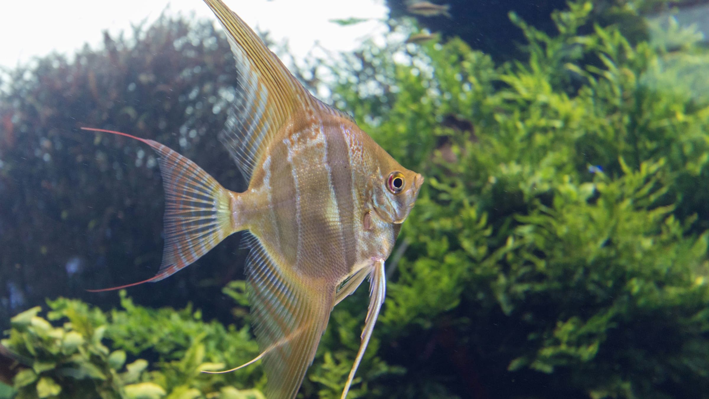
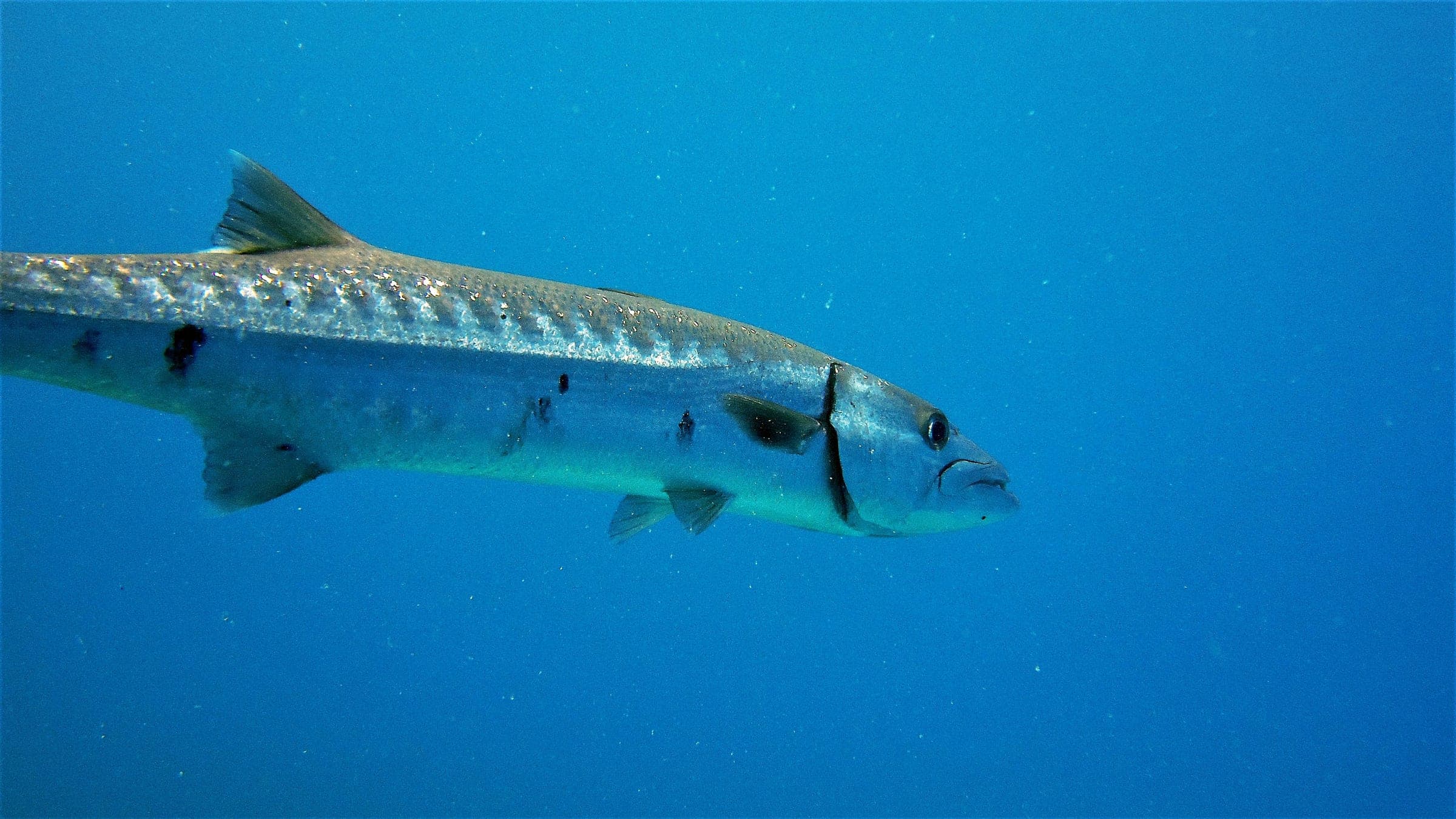
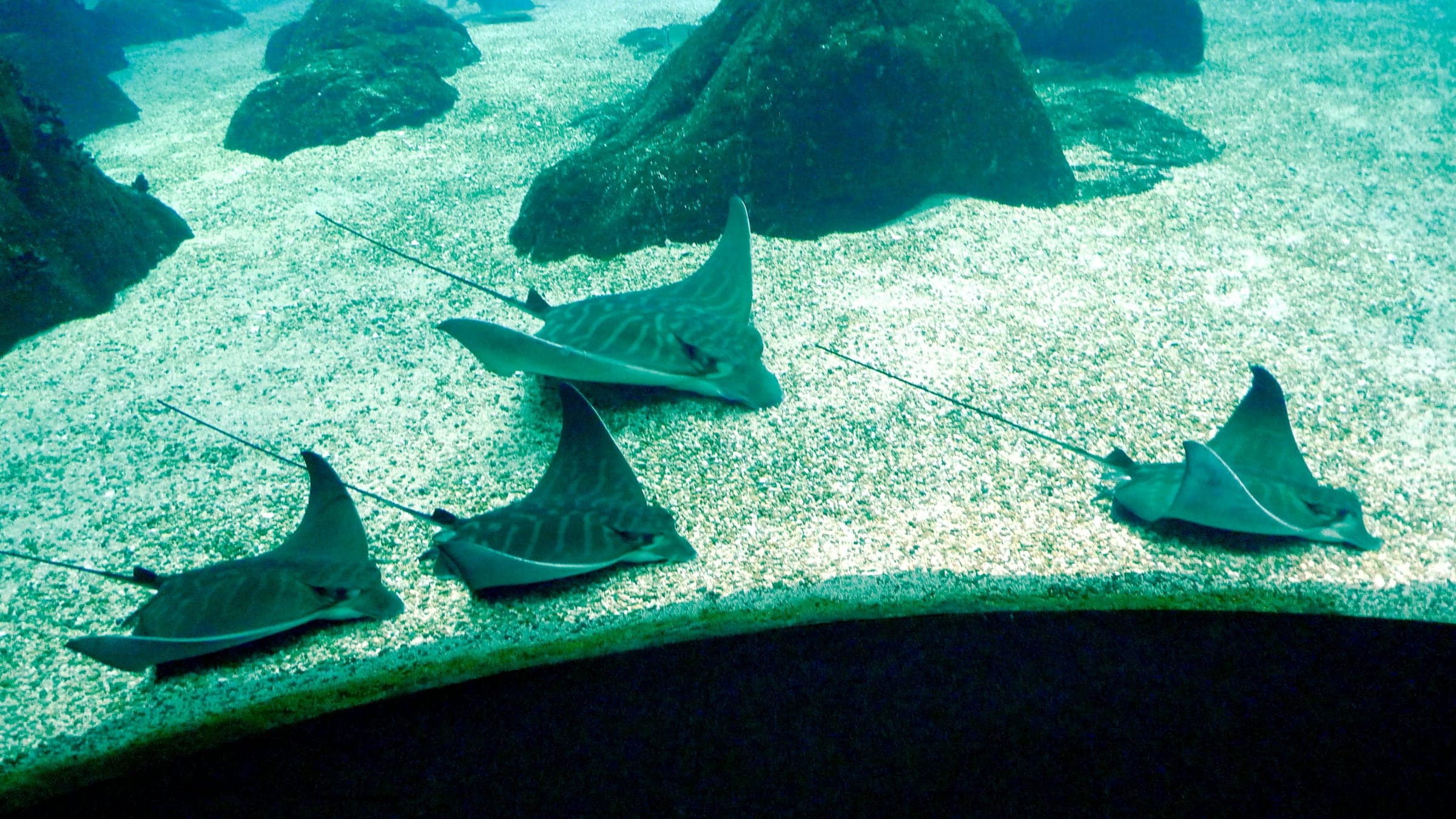
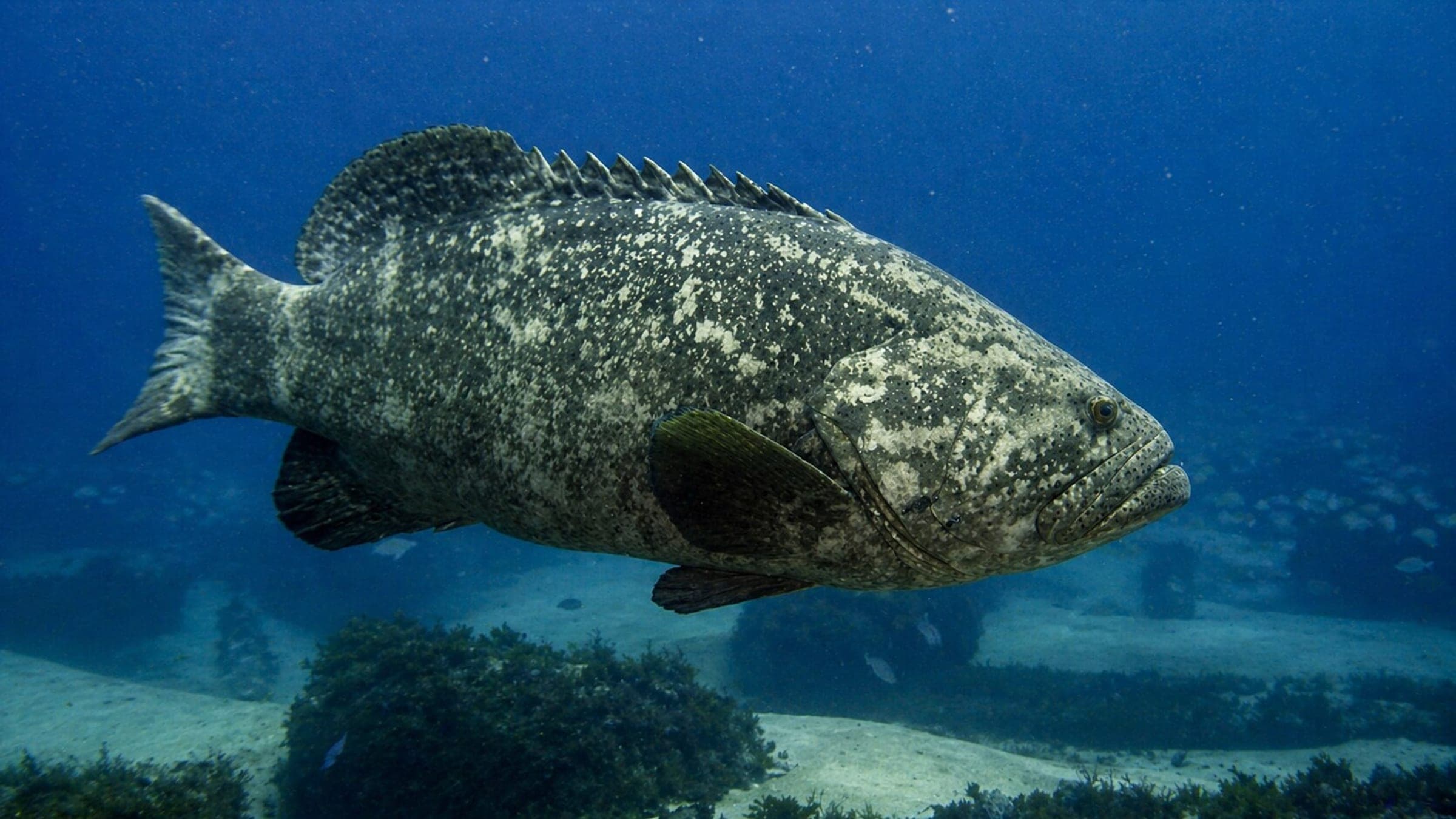
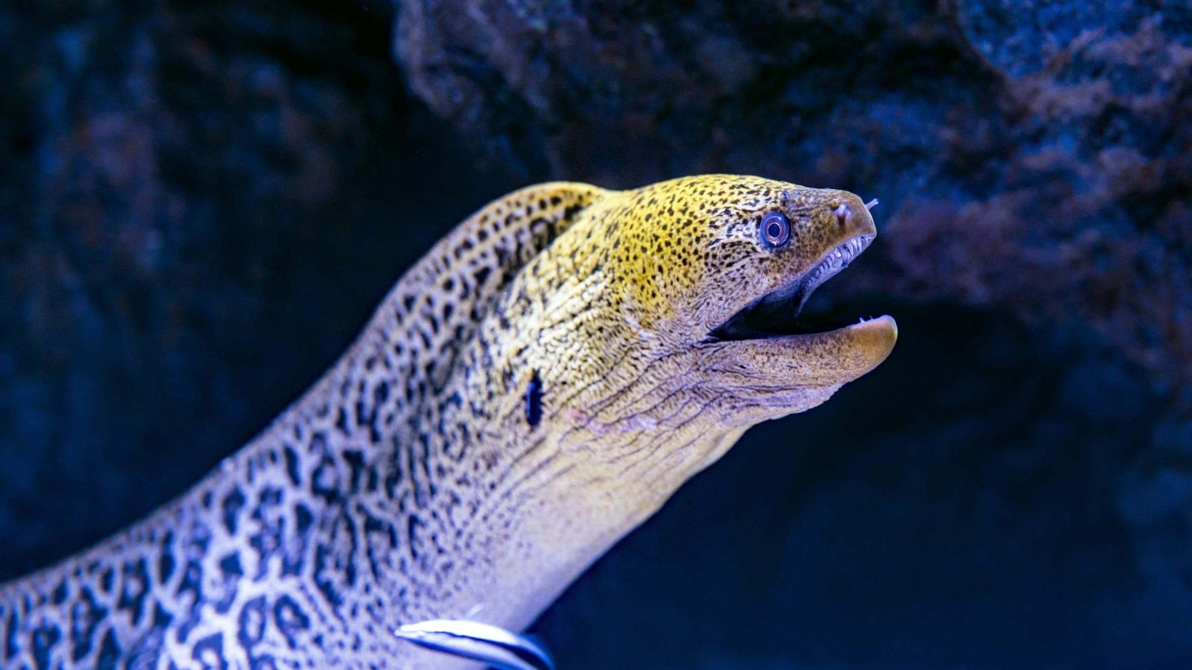
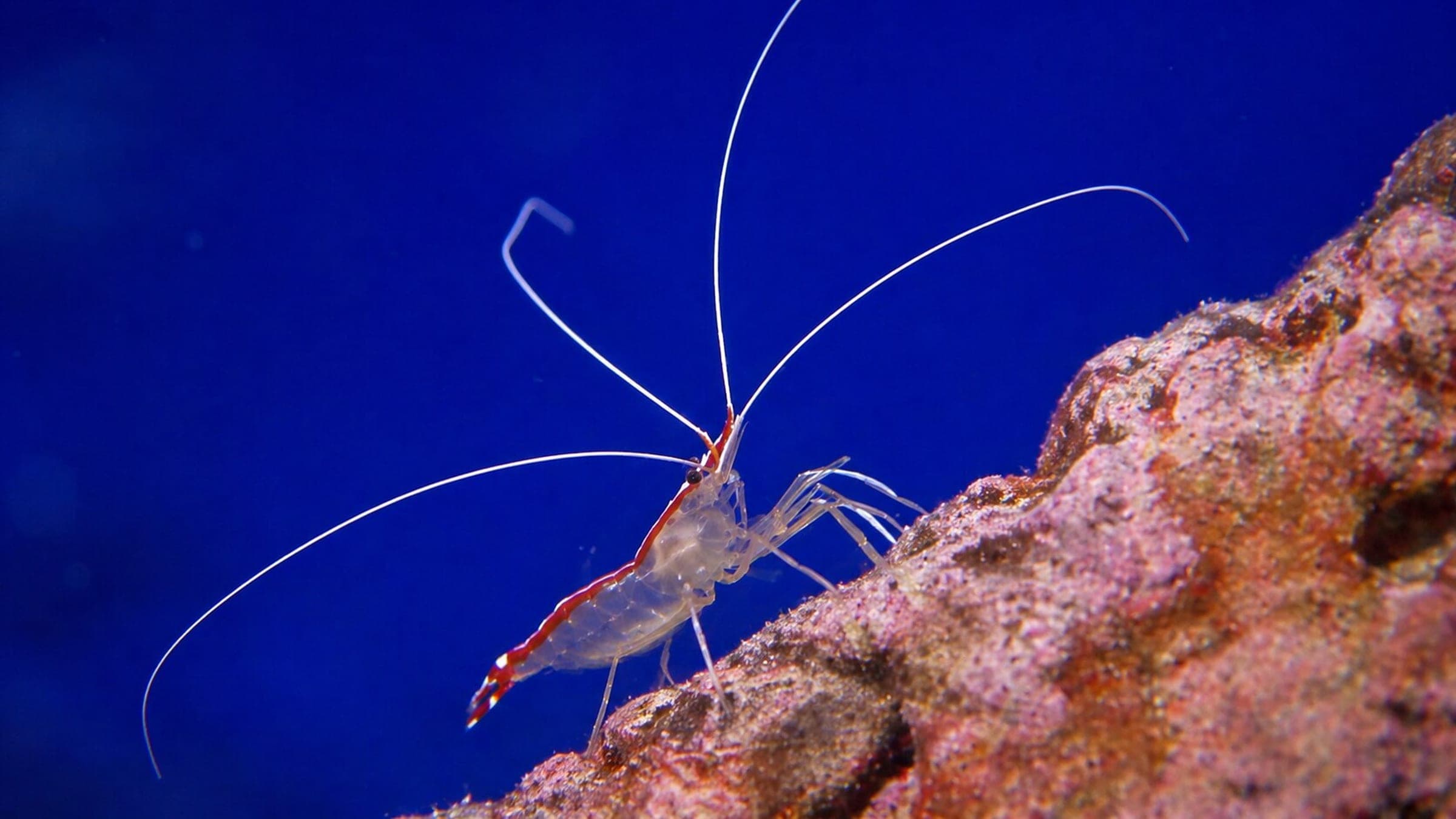
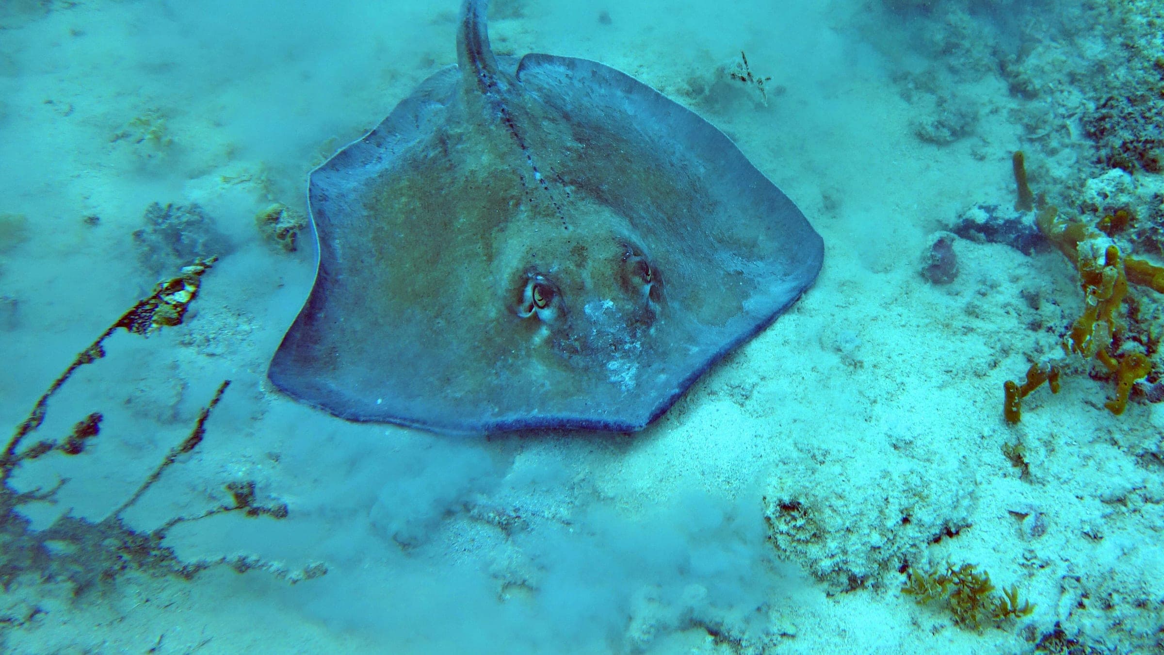
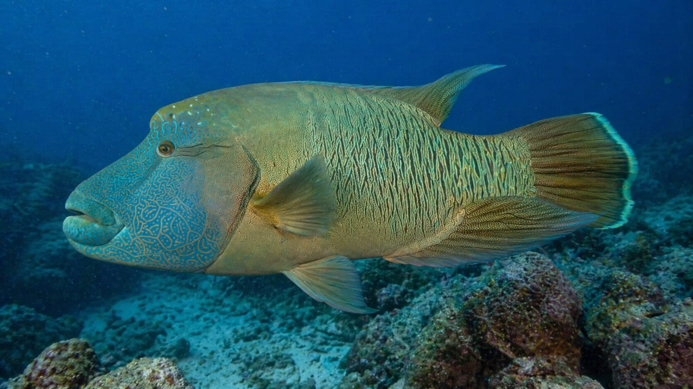
Species commonly reported at this site, with direct links into their wildlife guides.
Community dive logs and visit reports for this site.
No Dive Logs Yet
Be the first to log a dive at this spot and share your experience!
Average conditions based on logged dives & visits.
Planning answers for access, conditions, timing, and site logistics.
Last Updated
Research Sources
Butler Bay conditions, boat approach, and visibility.
Know this site? Improve Spot Details.

Shore-access macro pier dive in St. Croix
Deep pier-end dive with pillars, coral growth, and macro life.
West-coast St Croix patch reef with a lot of small marine life.
West-end St. Croix reef with a sloping coral-and-sponge profile.
Cables is a patch-reef drift dive on St. Croix.
King’s Corner is a shore-access St. Croix reef for advanced divers.