feetfirstdive.com.au · Operator
Operator page with access, ledges, and marine-life details.
Sheltered shore dive with soft coral and fish-filled shallows.
Sheltered shore dive with soft coral and fish-filled shallows.
Fly Point Marine Park is a sheltered shore dive in Nelson Bay with undulating soft-coral terrain, two easy-to-follow ledges, and rich fish life from the shallows outward. It is a classic tide-sensitive reef dive: the route is straightforward, the marine park setting keeps the site scenic and varied, and the combination of sponges, corals, seagrass, and hard-working little crevices makes it one of the most rewarding shore dives on the east coast.
Conservative baseline from public research. No community dives logged yet.
Depth range, seasonality, and planning context.
Reported Depth
0.5m - 28m
Depth Note
The site starts in the shallows, then drops through ledges into deeper sponge gardens.
Best Season
Year-round, with spring and autumn often quieter and summer busier.
Typical Conditions
Shore-access marine park with easy navigation, soft-coral ledges, and tide-sensitive current under the main channel.
Site conditions, restrictions, and access requirements.
Site Conditions
Safety Notes
Dive at high slack tide, stay in close to shore if you need to surface, and avoid low tide when visibility and current can deteriorate fast.
Legal Notes
Fly Point is a protected aquatic reserve, so follow marine park rules and stay clear of the boating channel.
Community notes to help plan your visit.
Scuba Diving
This is a classic shore-access reef dive with easy navigation and rich life, especially if you stay within the ledges and return before the current builds.
Freediving
Freediving is best kept to the shallows; the main ledges are better as a scuba dive.
Snorkeling
Snorkeling is excellent in the shallow entry zone and is one of Fly Point's main uses.
Species commonly reported at this site, with direct links into their wildlife guides.
Community dive logs and visit reports for this site.
Average conditions based on logged dives & visits.
Planning answers for access, conditions, timing, and site logistics.
Last Updated
Research Sources
Operator page with access, ledges, and marine-life details.
Regional Nelson Bay visibility, tide, and year-round diving context.
Independent site notes on tide timing, current, visibility, and crowding.
Official tourism page for the protected aquatic reserve.
Know this site? Improve Spot Details.

Nelson Bay shore dive with jetty, barge, and fish life.
Shore-access headland dive with sponge gardens and ledges
Pipeline: shore macro dive in Nelson Bay.
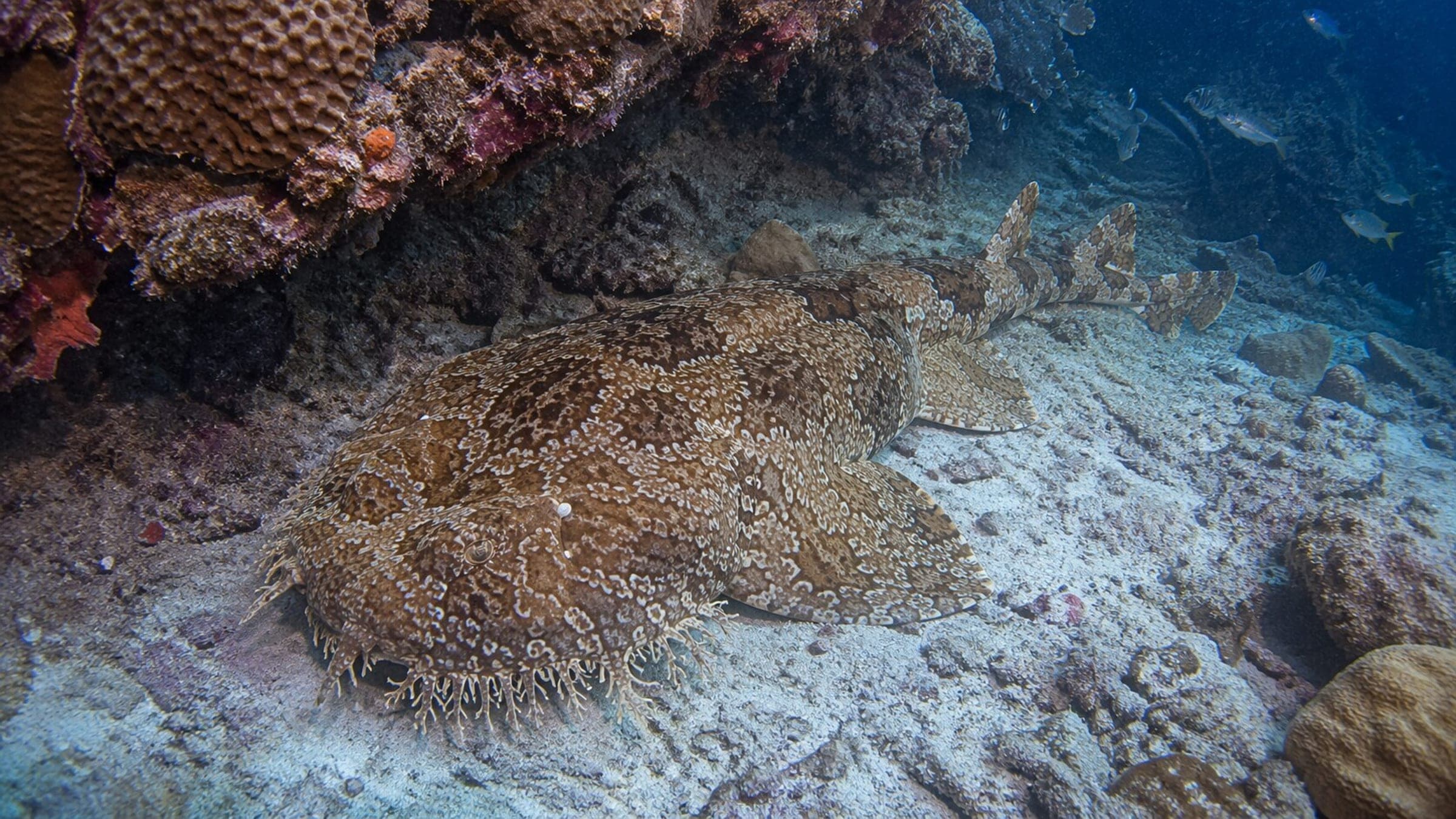
Fishermans Bay: sheltered shore dive with wobbegongs and easy access.
Boat-dived crack-through channel on Broughton Island with grey nurse sharks.
Redhead Point is a boat dive off a rocky headland near Newcastle.