
When To Go Preview
Best overall window: May - October
Open Season Planner
Country Guide
Coral to kelp: plan one coast, then add a contrast region
Updated Mar 4, 2026 • 1 source
Overview
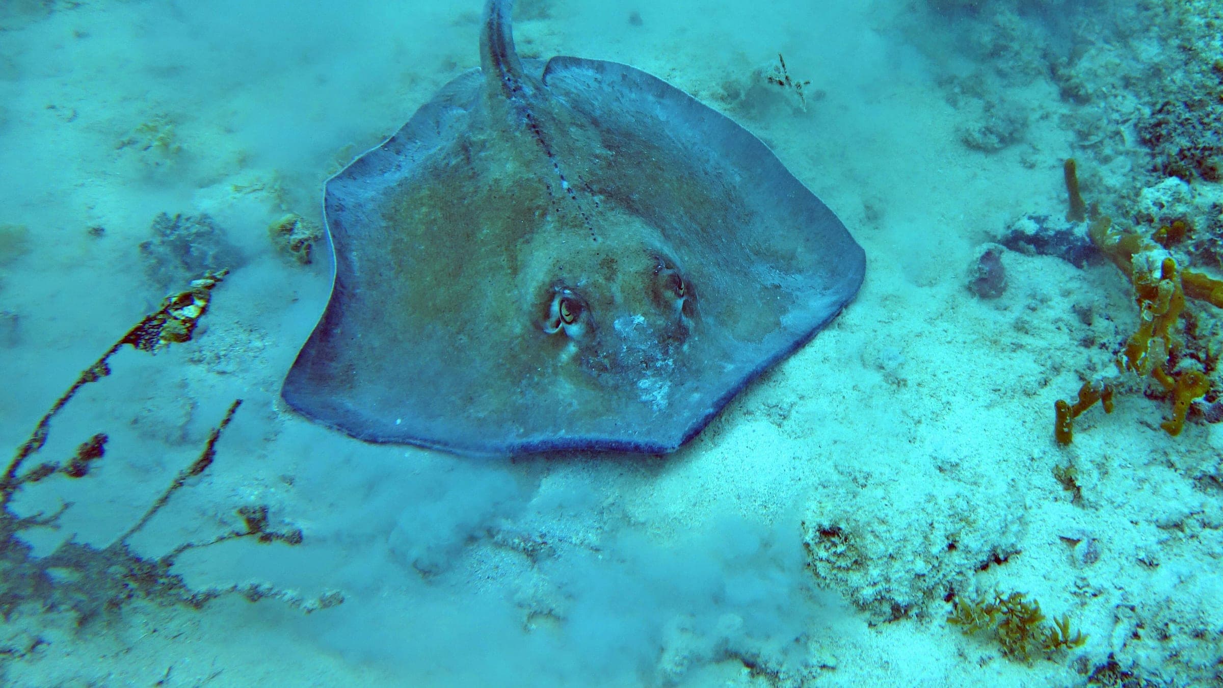
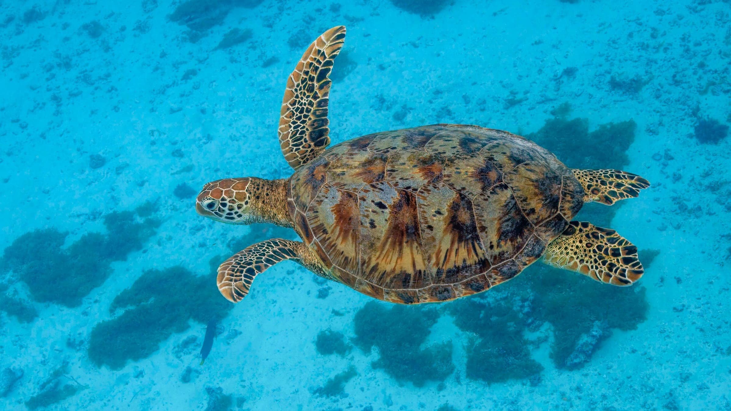
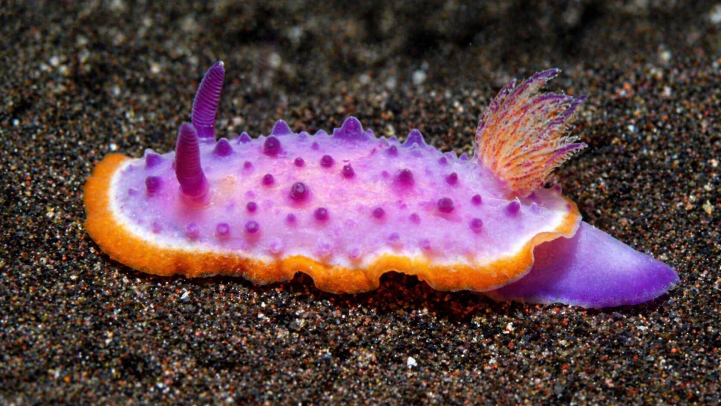
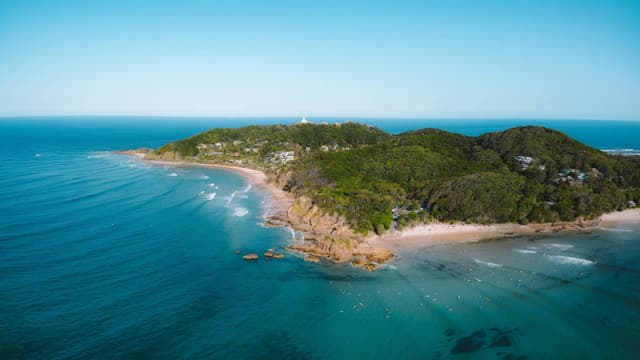
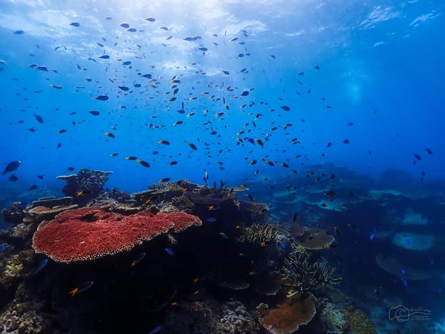
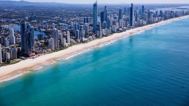
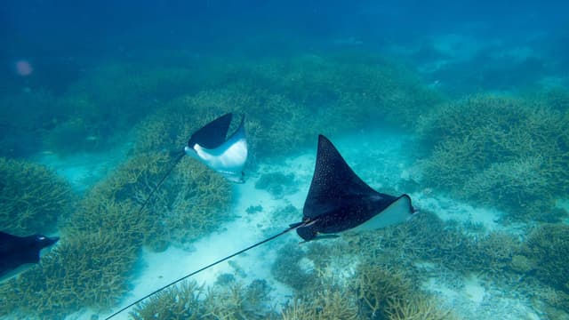
Australia is a continent-sized dive playground: tropical coral in the north, whale sharks on the west, and kelp forests and wrecks in the temperate south. Use Cairns or Port Douglas for the Great Barrier Reef, Exmouth and Coral Bay for Ningaloo, and city hubs like Sydney or Perth and Rottnest Island (Wadjemup) for year-round diving. Seasons vary by latitude: northern waters are most reliable in the drier months, while the south shines in summer. Much of the coastline sits inside marine parks with zoning, so plan for no-take areas and operator fees. Pair reef days with rainforest, sailing, and wildlife watching.
Pair the tropical scale of the Great Barrier Reef via Cairns with the shore-access coral of Ningaloo Reef (Exmouth and Coral Bay).
Plan around headline windows like whale sharks at Ningaloo (roughly March to July) and the winter cuttlefish aggregation at Whyalla.
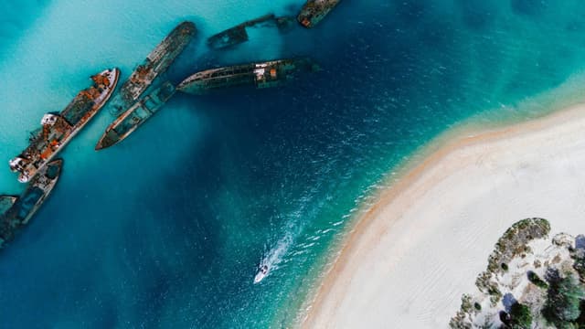
Easy domestic connections through Sydney, Brisbane, and Perth, plus bucket-list add-ons like Lord Howe Island, Christmas Island, and Cocos (Keeling) Islands.
A large share of the coast is managed under marine-park zoning. Expect no-take areas, wildlife interaction rules, and operator briefings that prioritize reef health.
Top species linked to approved dive spots across Australia.
Compare destinations and dive spots before opening the full plan.
Best overall window: May - October
Open Season PlannerEntry, transport, and gear planning are split in the dedicated logistics section.
Open LogisticsSafety and conservation guidance is organized by activity and risk.
Open SafetyDiveJourney country guides are living documents built from local knowledge, operator experience, and publicly available sources. Conditions, regulations, and logistics can change. Each guide shows its last update date and sources used.
Last updated: March 4, 2026 • 1 source
If you see something inaccurate or outdated, you can submit an update. This is how the platform improves.
Receive new destination drops, profile upgrades, and dive map releases.
No spam. Just solid updates when something surfaces.