www.golfedumorbihan.bzh · Official Tourism
Tidal-current context for the Gulf of Morbihan.
Gulf of Morbihan wall dive with layered strata and rich temperate life.
Save it, log a dive, or explore nearby on the map.
Save it to come back later
A local boat operator is the normal way to find the left-hand edge and time the dive.
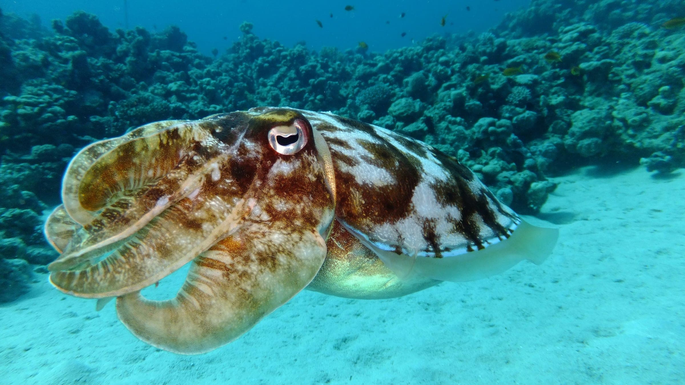
Brannec is a boat-access wall dive in the Gulf of Morbihan, starting from a sandy bottom and moving onto a vertical rock face with layered strata. From the boat, the route follows the left-hand edge before the wall opens into a measured, terrain-focused descent. The site rewards slow exploration of the rock bands, sponges, and temperate marine life tucked into the crevices.
Conservative baseline from public research. No community dives logged yet.
Depth range, seasonality, and planning context.
Reported Depth
6m - 25m
Depth Note
Sandy start on the plateau, then a wall dropping to about 25 m.
Best Season
Late spring through early autumn, especially around calmer tide windows.
Typical Conditions
Sandy approach, vertical rock face, layered strata, sponges, and temperate marine life; tide and visibility vary.
Hazards, restrictions, and access requirements.
Key Hazards
Safety Notes
Keep buoyancy tight over the wall and time the dive around tide windows.
Access Restrictions
Boat access from a local dive center is the normal route.
Legal Notes
No special legal restriction is surfaced beyond normal boat-dive procedure.
Community notes to help plan your visit.
Scuba Diving
A wall dive that starts on sand before descending the vertical rock face and its layered strata.
Freediving
Not a natural freedive target; the wall drops to around 25 m.
Snorkeling
Snorkeling is not the main use case; the interesting features sit down the wall.
Use the planner to scan this week, inspect today in local time, and understand how exposure shapes conditions at Brannec.
Directional shelter context for incoming swell.
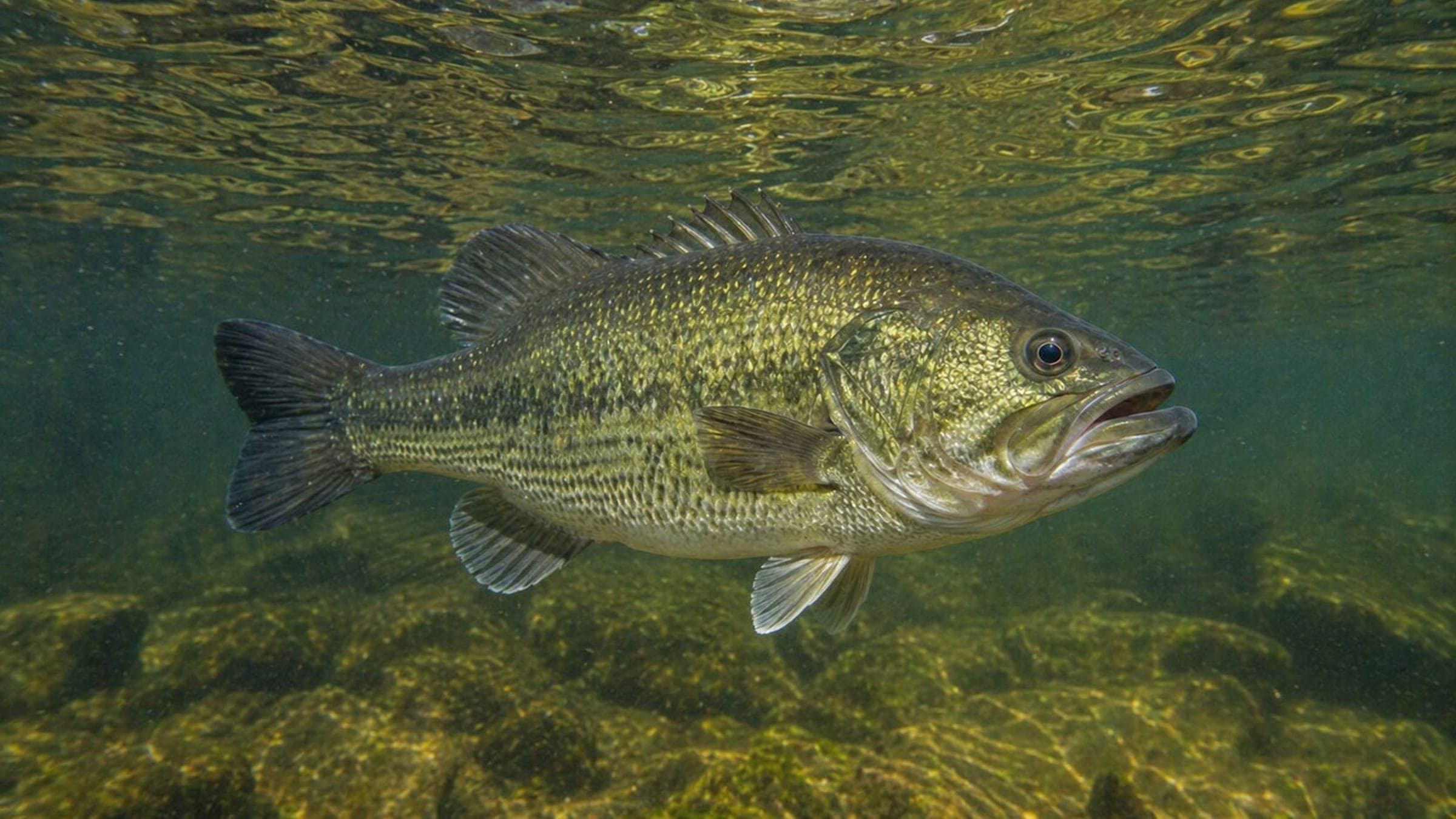
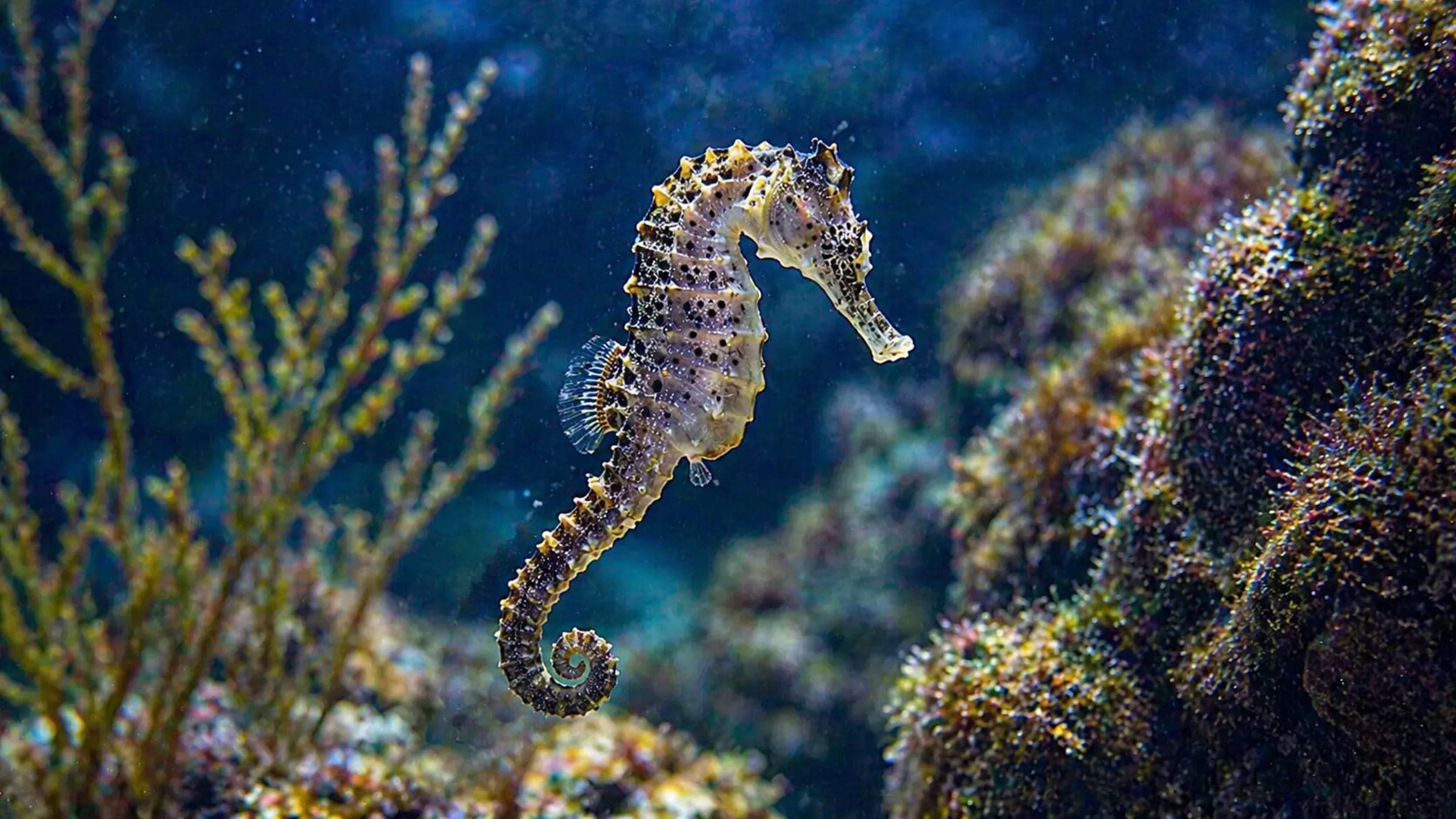
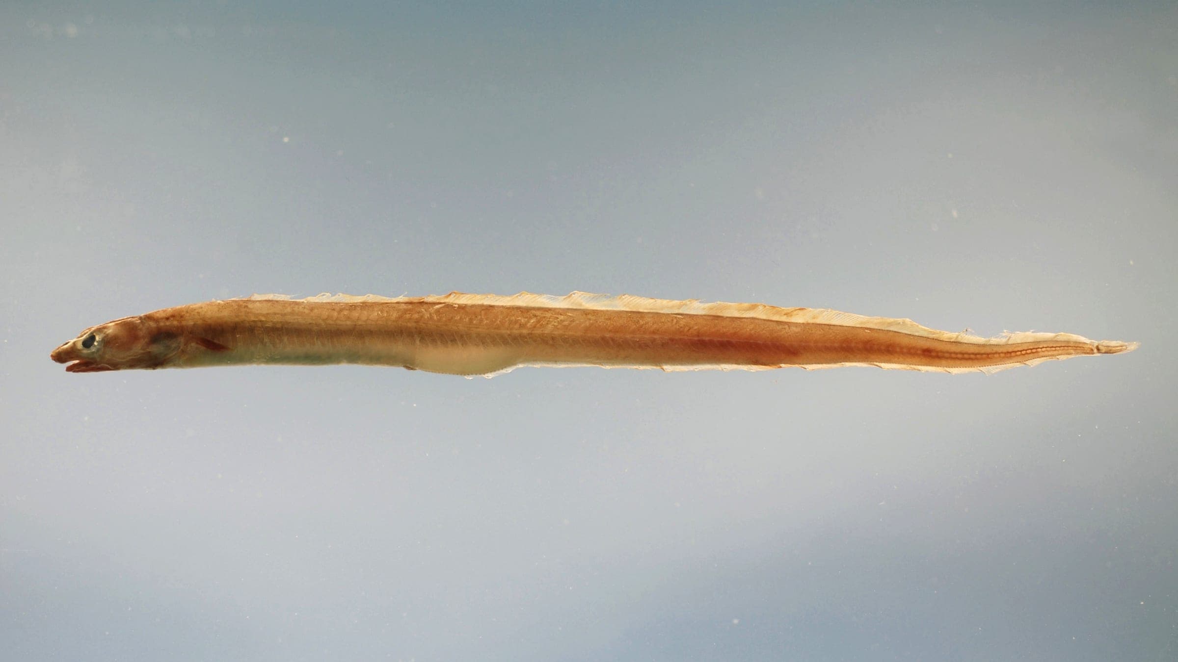
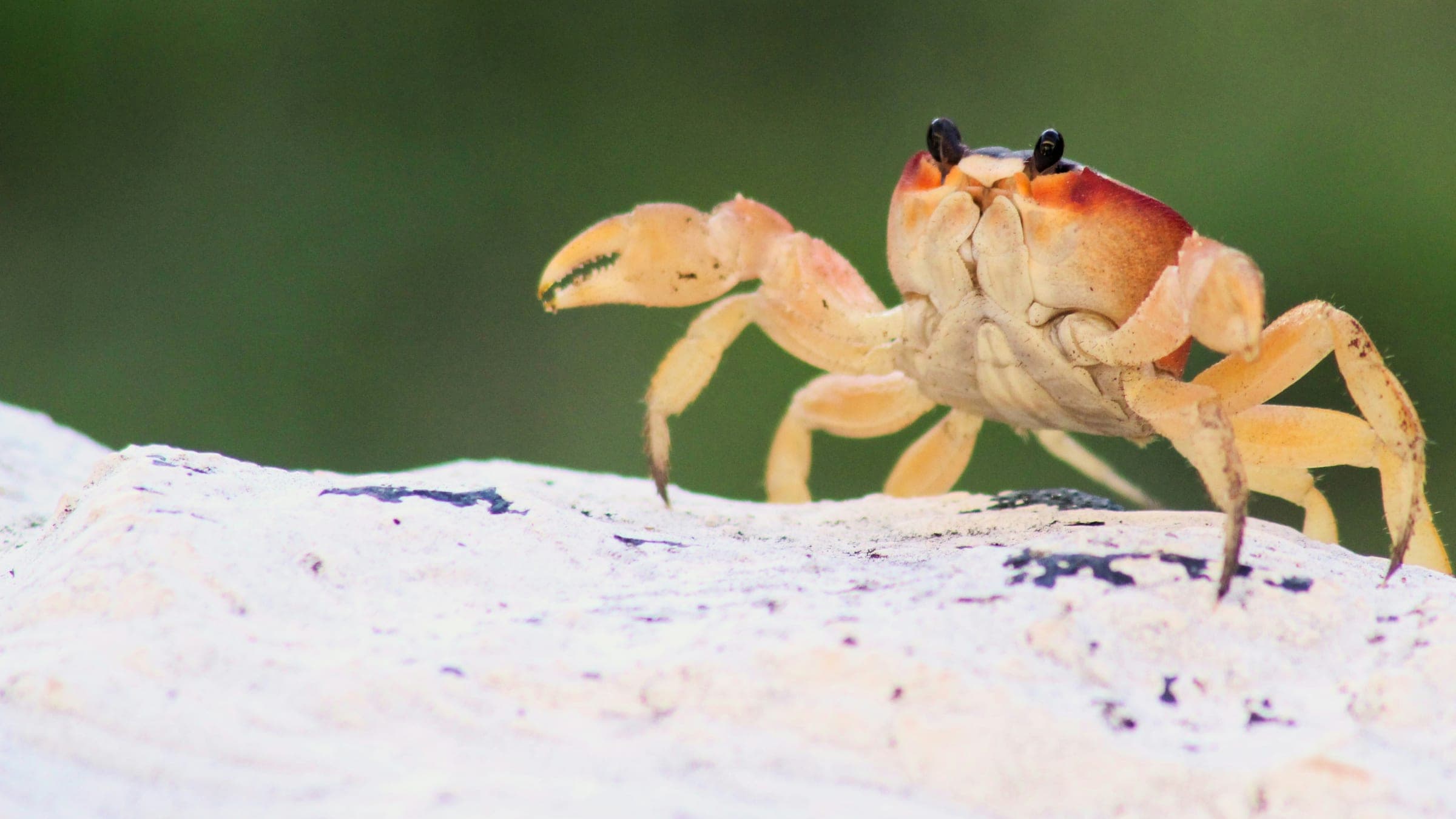
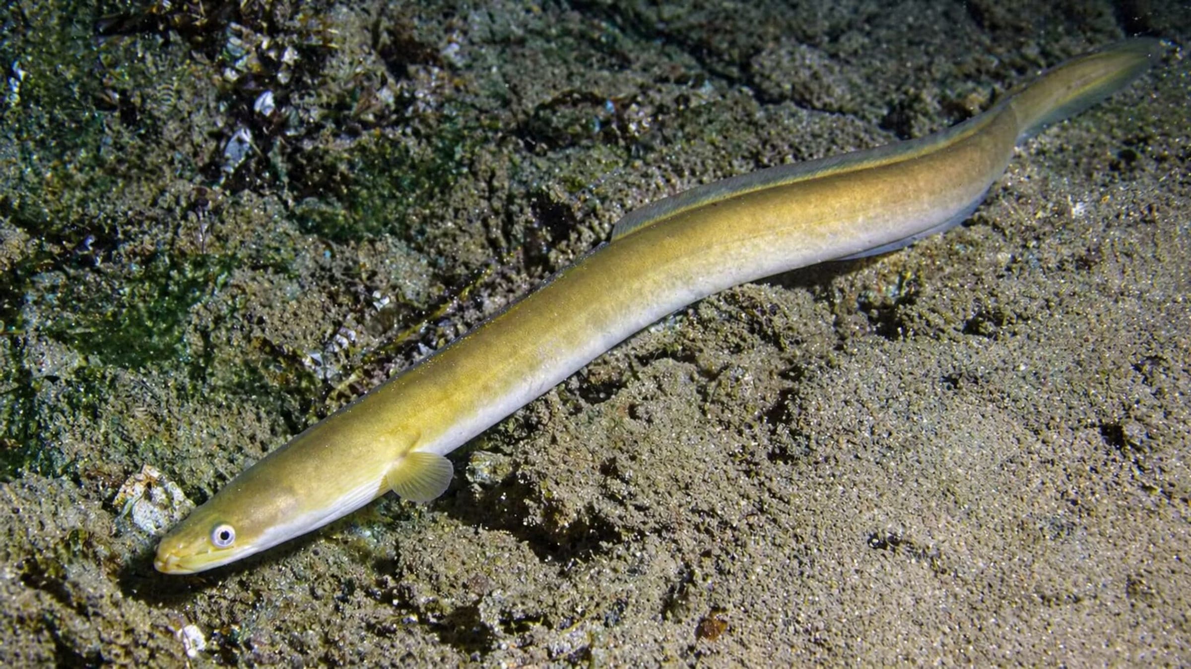
Species commonly reported at this site, with direct links into their wildlife guides.
Community dive logs and visit reports for this site.
No Dive Logs Yet
Be the first to log a dive at this spot and share your experience!
Average conditions based on logged dives & visits.
Planning answers for access, conditions, timing, and site logistics.
Last Updated
Research Sources
Tidal-current context for the Gulf of Morbihan.
Shallow start and reef/boat classification.
Local dive-center support in Arzon and boat-site access.
Know this site? Improve Spot Details.

Boat dive on a rocky Gavrinis slope rich in crustaceans and rays.
La Cale is a tide-timed drop-off on Île Longue in the Golfe du Morbihan.
Boat dive in the Golfe du Morbihan with gorgonians and rich shallow life.
Quiet Carnac beach with shallow shore entry and rocky edges.
Rocky shore dive on Quiberon’s Conguel point