B&J Diving Centre Sdn. Bhd. updated Photos.
Apr 6, 2026Shallow Tioman reef with coral gardens and turtles.
Save it, log a dive, or explore nearby on the map.
Save it to come back later
A short boat transfer with a local operator is the normal way to reach Renggis.
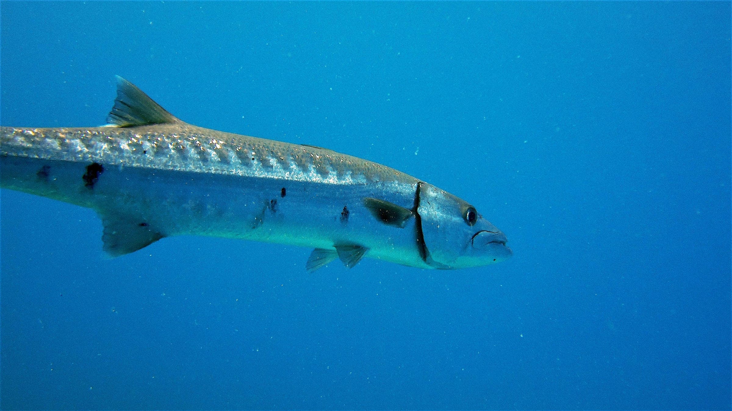
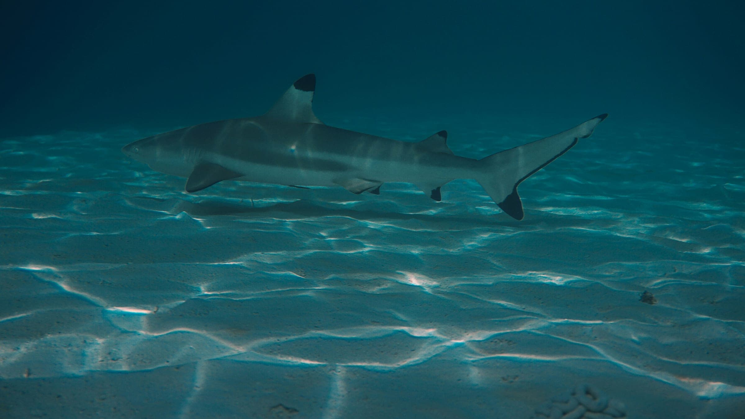
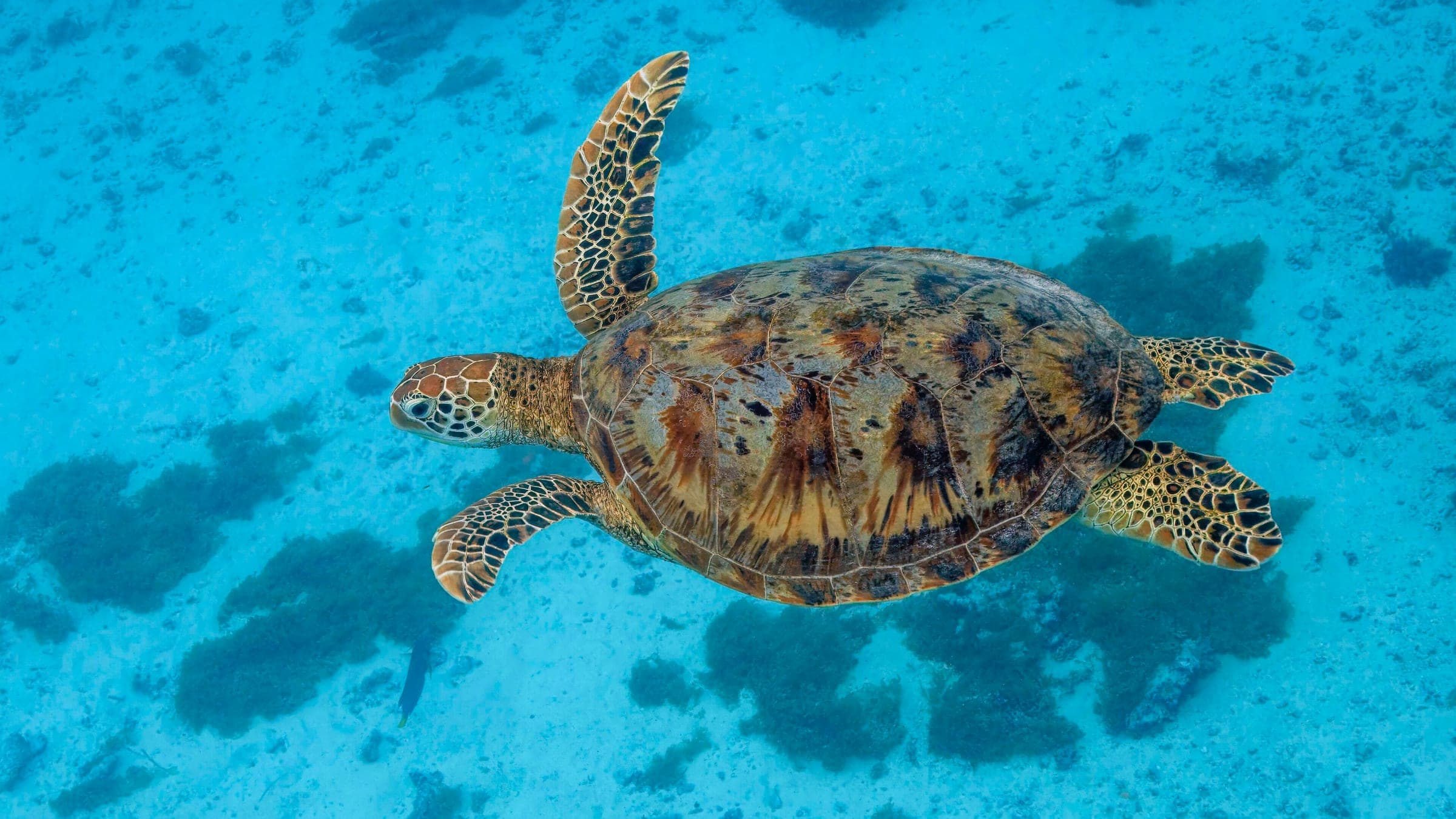
Renggis Island is a shallow boat-access reef off Tioman with broad coral gardens, scattered wreck pieces, and an easy profile that suits beginner scuba, snorkelers, and relaxed night dives. The site is known for staying close to the surface while still holding enough structure to attract turtles, reef sharks, and dense reef fish, so the dive is more about slow reef cruising and steady observation than covering distance or chasing depth. The main planning note is seasonality: outside the monsoon window the water is usually straightforward, but rough weather can make the island less comfortable and reduce the appeal of a shallow reef day.
Conservative baseline from public research. No community dives logged yet.
Depth range, seasonality, and planning context.
Reported Depth
0m - 15m
Depth Note
Shallow reef profile from the surface to about 15m, with some guides describing slightly shallower pockets or a little more depth on the outer edge.
Best Season
Outside the monsoon season
Typical Conditions
Shallow, calm reef with little current and good visibility outside monsoon windows; popular for beginners, snorkelers, and night dives.
Hazards, restrictions, and access requirements.
Key Hazards
Safety Notes
Keep trim off the coral, stay alert in shallow water, and avoid the site when monsoon conditions are building.
Access Restrictions
Boat-access reef; best for beginner scuba, snorkelers, and relaxed freedives when conditions are calm.
Legal Notes
Follow Tioman Marine Park rules and any park-fee or operator requirements for the day.
Community notes to help plan your visit.
Scuba Diving
A shallow reef dive with coral gardens, scattered structure, and easy navigation for relaxed profiles.
Freediving
Shallow water and calm conditions make it suitable for relaxed freedives around the reef edge.
Snorkeling
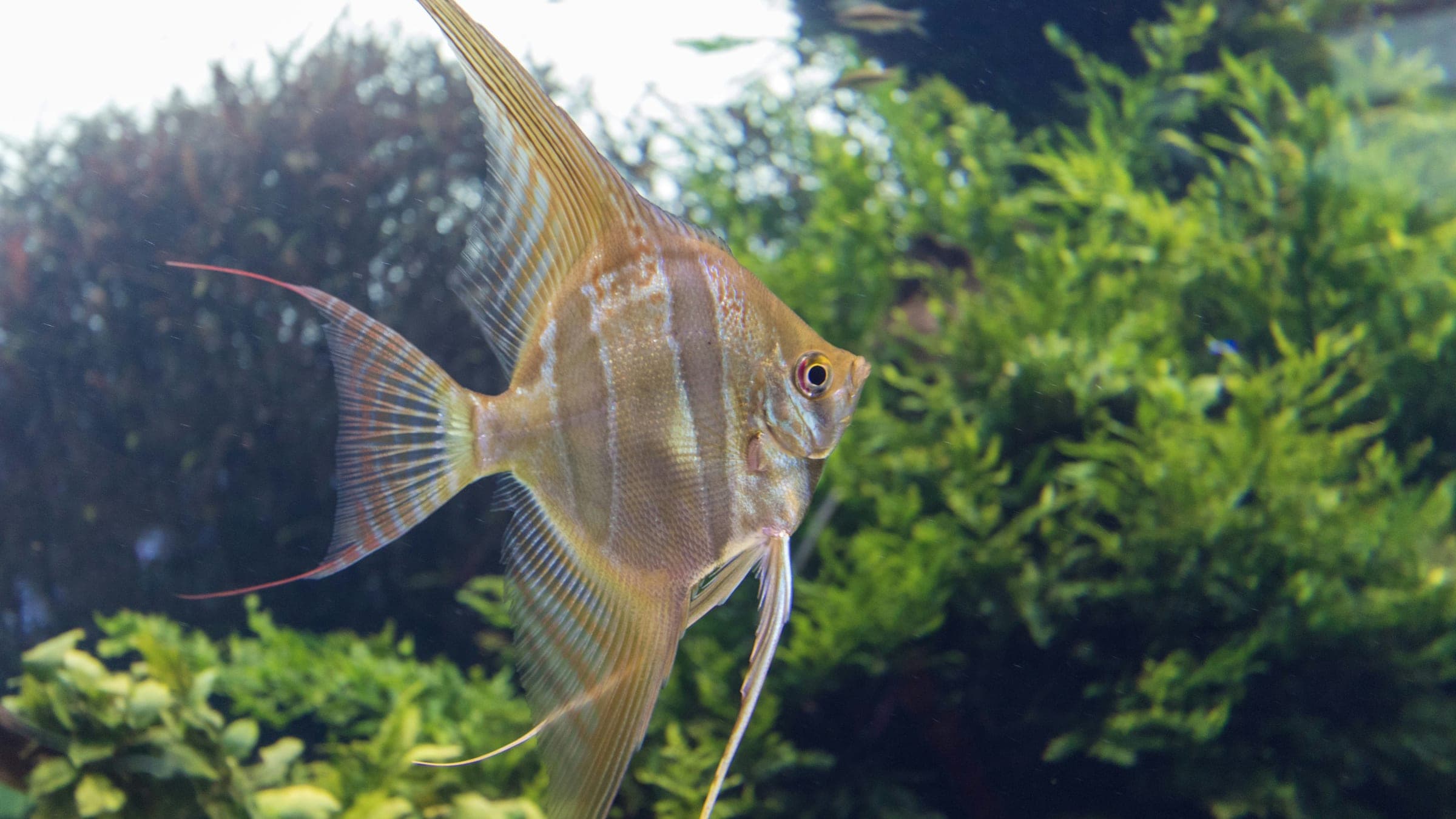
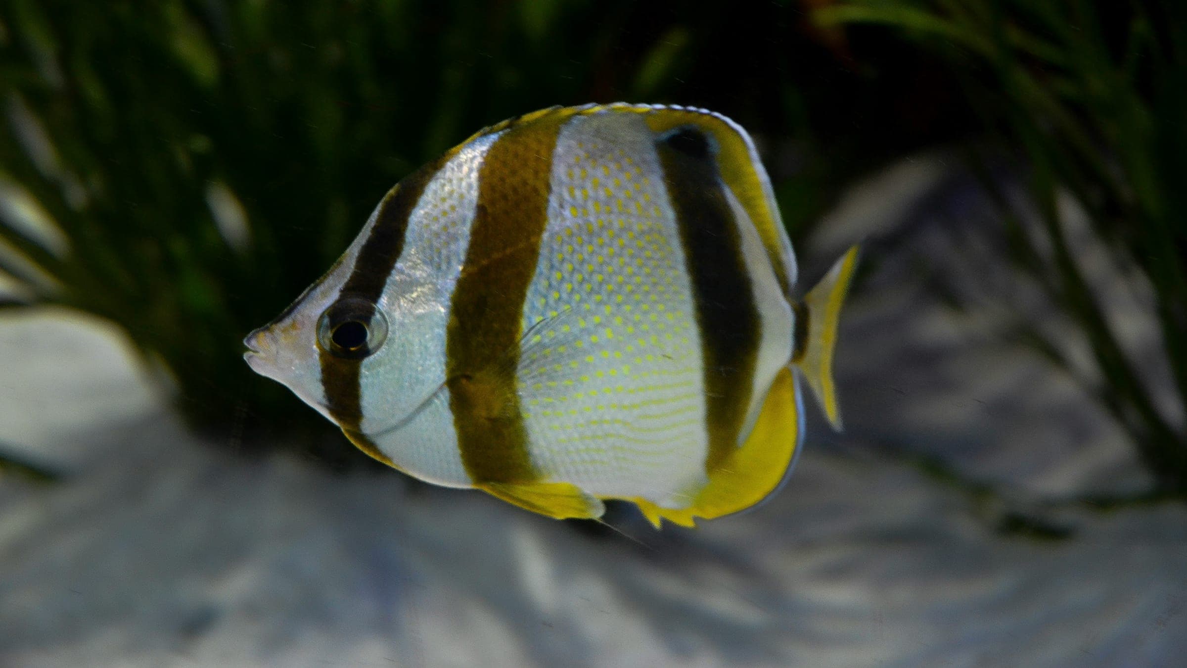
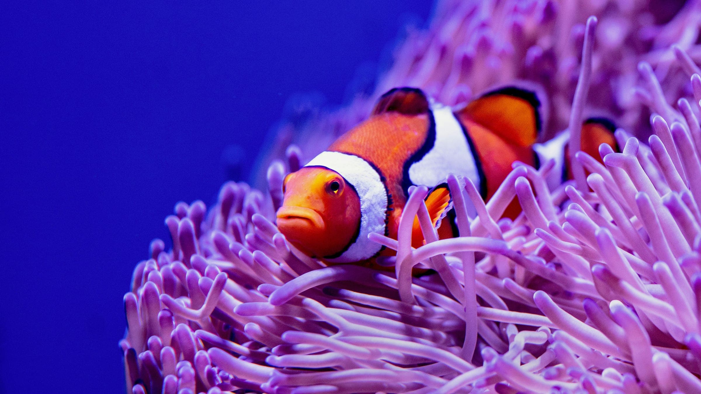
One of Tioman's better snorkel spots, with turtles and reef fish visible close to the surface.
Use the planner to scan this week, inspect today in local time, and understand how exposure shapes conditions at Renggis Island.
Directional shelter context for incoming swell.
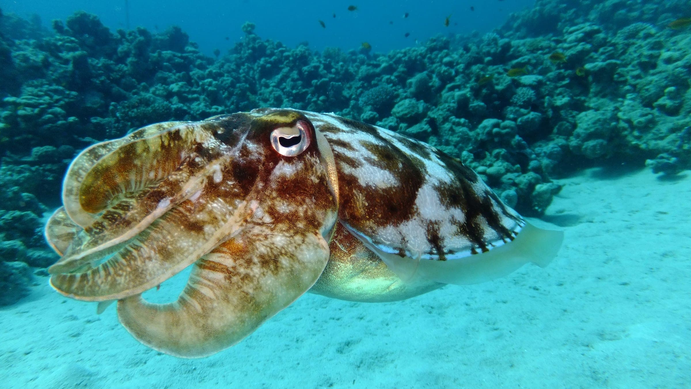
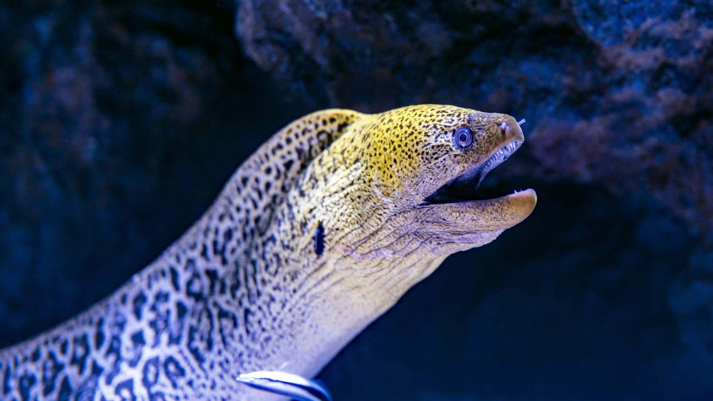
Species commonly reported at this site, with direct links into their wildlife guides.
Community dive logs and visit reports for this site.
No Dive Logs Yet
Be the first to log a dive at this spot and share your experience!
Average conditions based on logged dives & visits.
Planning answers for access, conditions, timing, and site logistics.
Last Updated
Recent community updates
Research Sources
Community dive-site entry for Renggis Island.
Malaysia.travel e-brochure page for Tioman diving.
Community dive-conditions page with seasonal visibility and current ranges.
Dive-center page for the Renggis Island site.
Tioman travel guide page for Pulau Renggis.
Know this site? Improve Spot Details.

Bus Station is a Tioman boat dive with sunken buses and an artificial reef.
Km Sipadan & Sawadee Wrecks is Tioman's advanced wreck trio with rich life.
Calm Tioman house reef for training and turtles.
Tioman coral reef island in Pahang
Shallow hard-coral reef with calm water and easy loops.
Tioman wreck dive with a steel hull and older wrecks.