pia.gov.ph · Official Tourism
Official tourism context for Camiguin dive growth and marine resources.
Iring Point: Camiguin slope-and-coral dive.
Save it, log a dive, or explore nearby on the map.
Save it to come back later
Iring Point is a classic Camiguin slope dive that starts from the beach and drops into a broader coral section deeper down the profile. The route is simple to read underwater: sand first, then coral blocks, then a larger lettuce-coral area that rewards a slower look. It is a site for divers who want an easy entry, a clear progression of terrain, and enough reef structure to spend time searching for life rather than racing a current.
Conservative baseline from public research. No community dives logged yet.
Depth range, seasonality, and planning context.
Reported Depth
0m - 30m
Depth Note
The site begins at the beach and continues beyond 30 m, with a large lettuce-coral area starting around 21 m.
Best Season
March through June; Camiguin is usually calmest and clearest then.
Typical Conditions
Warm tropical water, a sandy slope, and coral blocks leading into a deeper lettuce-coral section.
Hazards, restrictions, and access requirements.
Safety Notes
Depth exceeds 30 m; plan gas, time, and training accordingly, especially when descending past 21 m.
Access Restrictions
No special restrictions surfaced; shore entry is standard and boat access is also used.
Legal Notes
Use reef-safe entry and avoid standing on coral blocks or lettuce-coral structure.
Community notes to help plan your visit.
Scuba Diving
Scuba divers can follow the sandy slope from the beach into deeper water beyond 30 m.
Freediving
The shallow slope can suit breath-hold practice, but the site becomes a deeper coral descent beyond the beach zone.
Snorkeling
The shallow slope has reef fish and coral blocks, but the main structure sits deeper on the descent.
Use the planner to scan this week, inspect today in local time, and understand how exposure shapes conditions at Iring Point.
Directional shelter context for incoming swell.
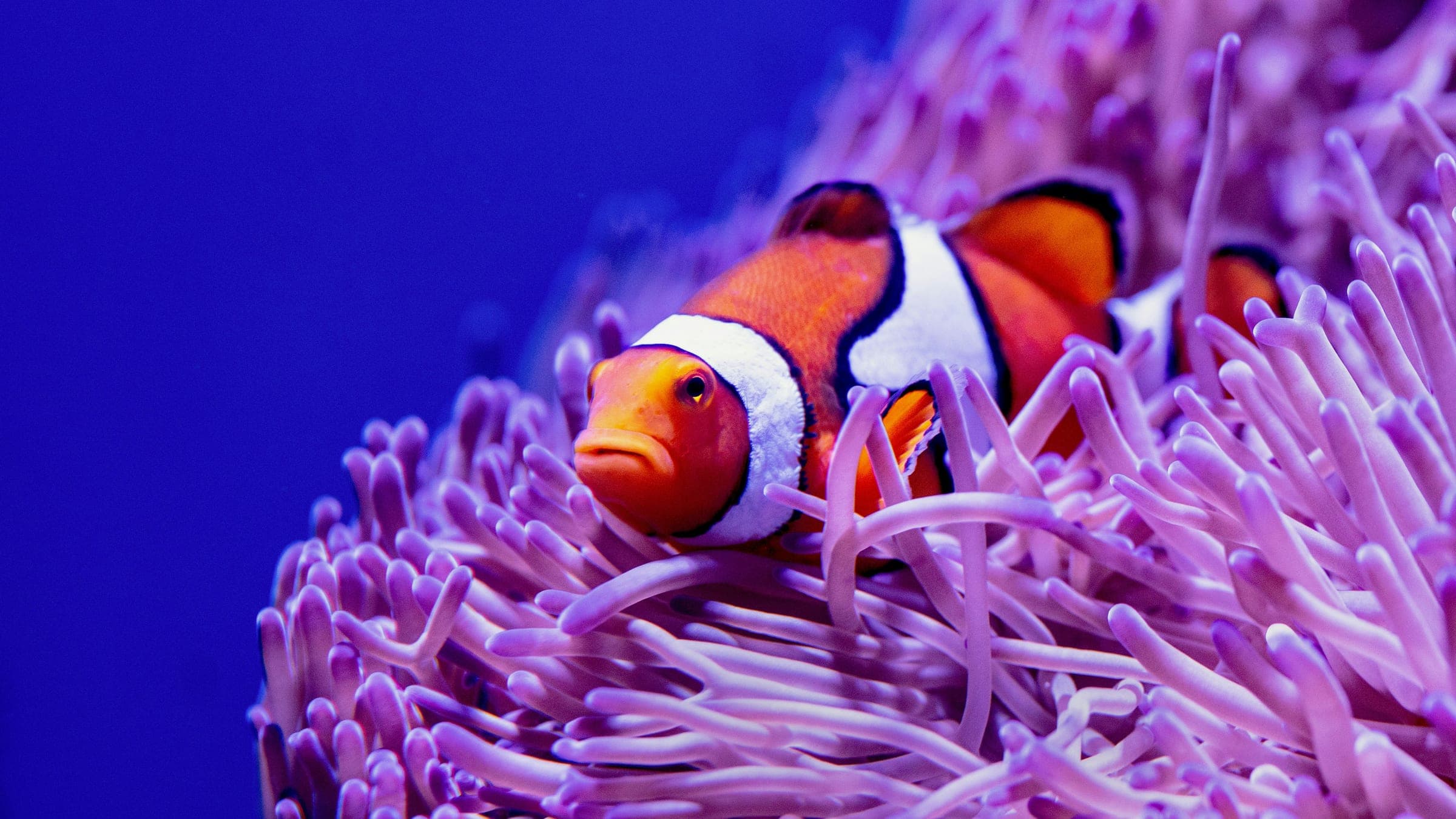
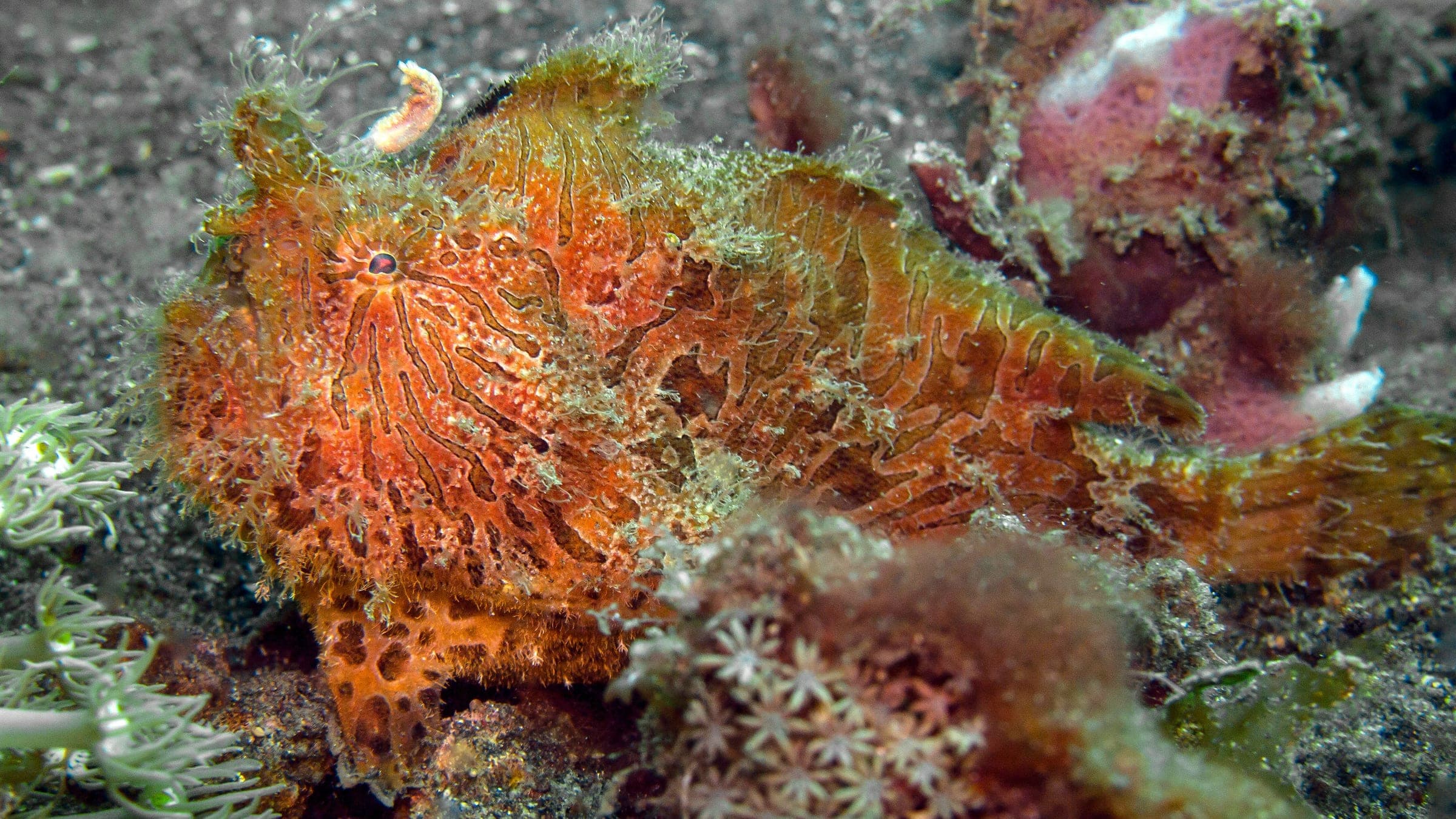
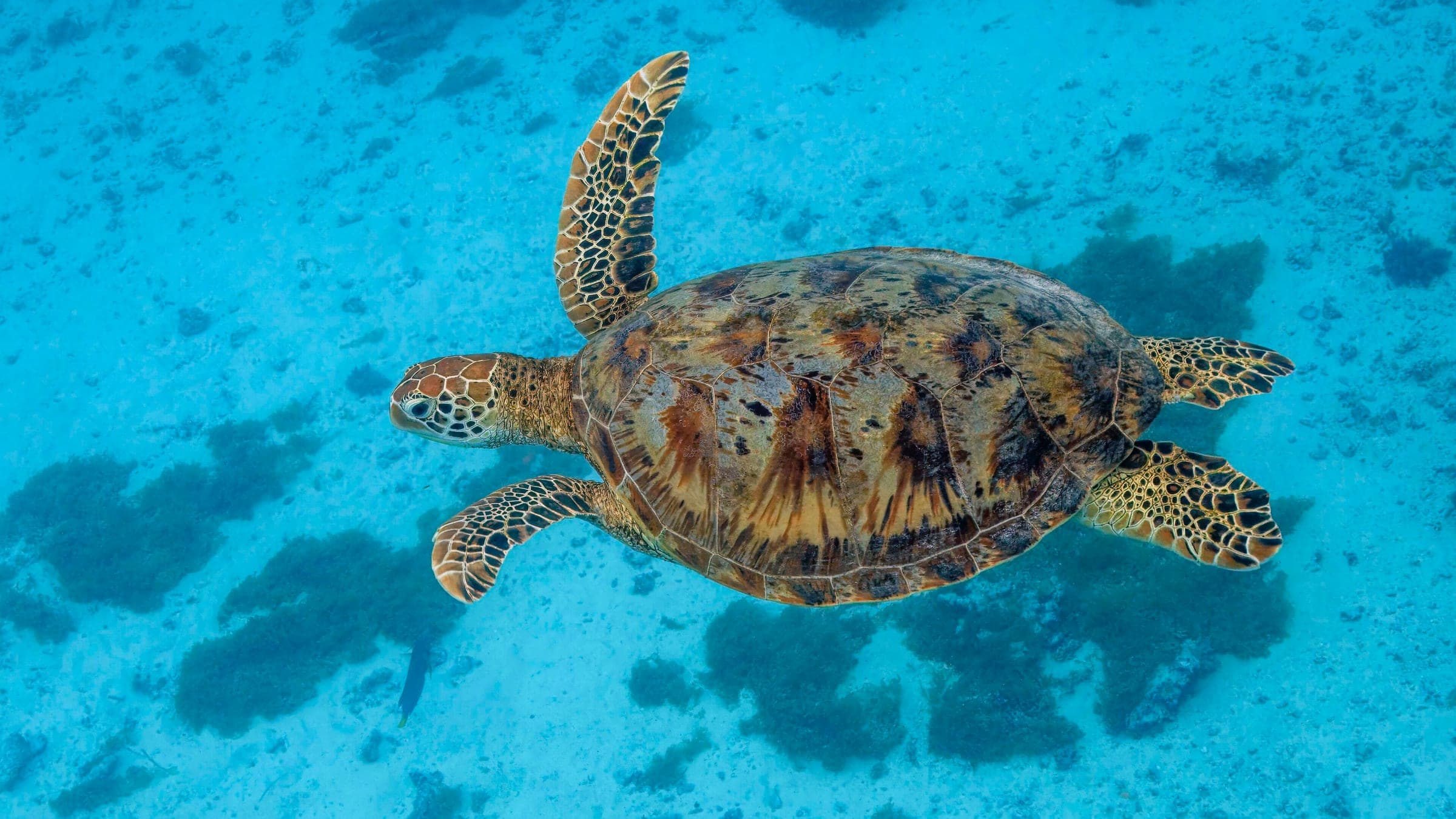
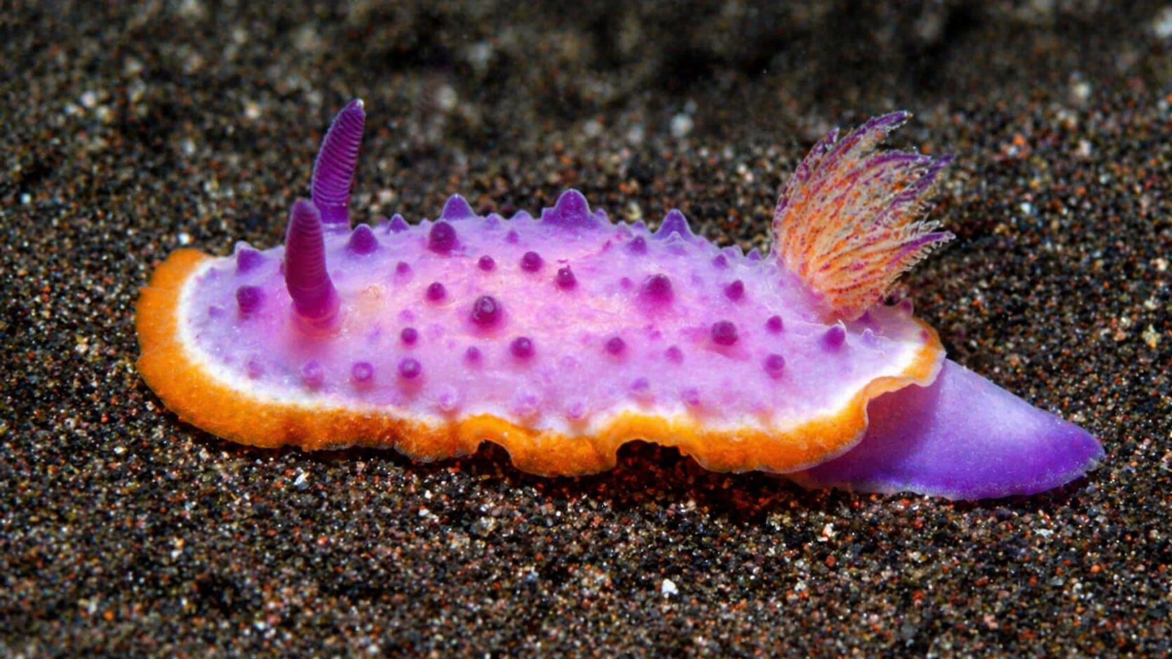
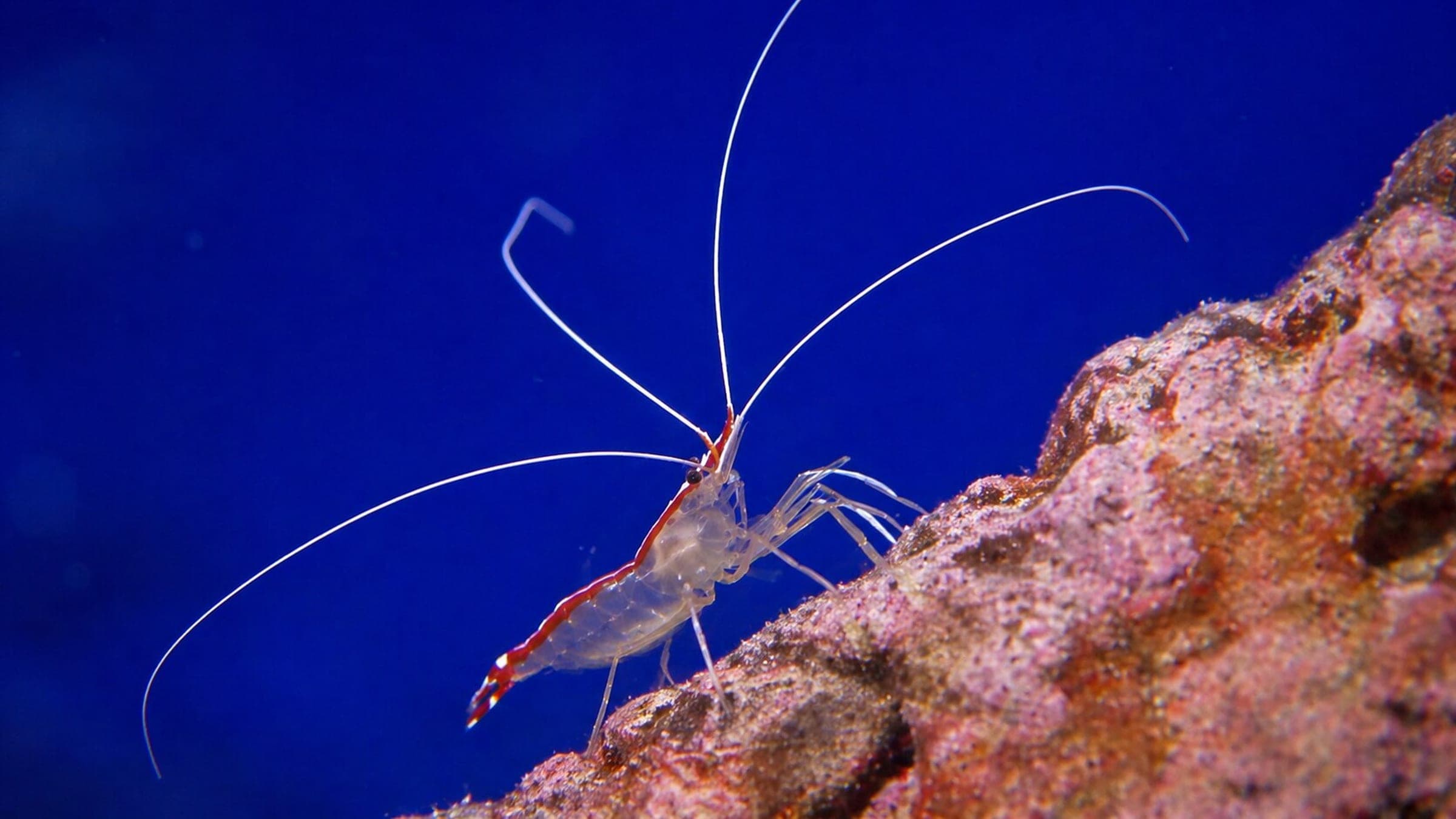
Species commonly reported at this site, with direct links into their wildlife guides.
Community dive logs and visit reports for this site.
No Dive Logs Yet
Be the first to log a dive at this spot and share your experience!
Average conditions based on logged dives & visits.
Planning answers for access, conditions, timing, and site logistics.
Last Updated
Research Sources
Official tourism context for Camiguin dive growth and marine resources.
Camiguin seasonality, visibility, crowding, and logistics context.
Site-specific caption with Iring Point wildlife sightings.
Know this site? Improve Spot Details.

Camiguin pier-and-slope macro dive with easy shore access.
Offshore Camiguin wall dive with healthy coral and fish life.
Balicasag drift slope with black corals, jacks, and turtles.
Advanced Camiguin shoal with current and big-fish action
Boat-access reef known for green turtles and clear water.