planeta-azul.com · Operator
Wreck history, depth profile, current cautions, and advanced-certification guidance.
Naranjito is a deep wreck dive off Cabo de Palos.
Save it, log a dive, or explore nearby on the map.
Save it to come back later
Naranjito is a signature Cabo de Palos wreck lying one mile offshore on sand, with an upright profile and a deep stern that makes it a serious but rewarding boat dive. The bow, holds, and engine room give the wreck plenty of shape, while the deeper sections reward experienced divers who like controlled wreck routes and strong fish life. Plan it as a depth-aware dive that respects current, visibility, and the reserve setting around the wreck.
Conservative baseline from public research. No community dives logged yet.
Depth range, seasonality, and planning context.
Reported Depth
26m+
Depth Note
Deck depth is 26 m.
Best Season
April to November, with peak conditions in June to September.
Typical Conditions
Deep wreck, usually good visibility, but currents and thermoclines can make the dive more demanding.
Hazards, restrictions, and access requirements.
Key Hazards
Safety Notes
Nitrox helps, and the overhead engine room and holds should be treated as advanced wreck features.
Access Restrictions
Advanced Open Water or equivalent is expected, and nitrox is recommended.
Legal Notes
The wreck sits beside the Islas Hormigas marine reserve, so reserve rules and operator briefings matter.
Community notes to help plan your visit.
Scuba Diving
Boat wreck dive with a deck around 26-28 m and a deeper stern, suitable for controlled wreck exploration by experienced divers.
Freediving
Not a freedive site.
Snorkeling
Not a snorkel site.
Use the planner to scan this week, inspect today in local time, and understand how exposure shapes conditions at Naranjito.
Directional shelter context for incoming swell.
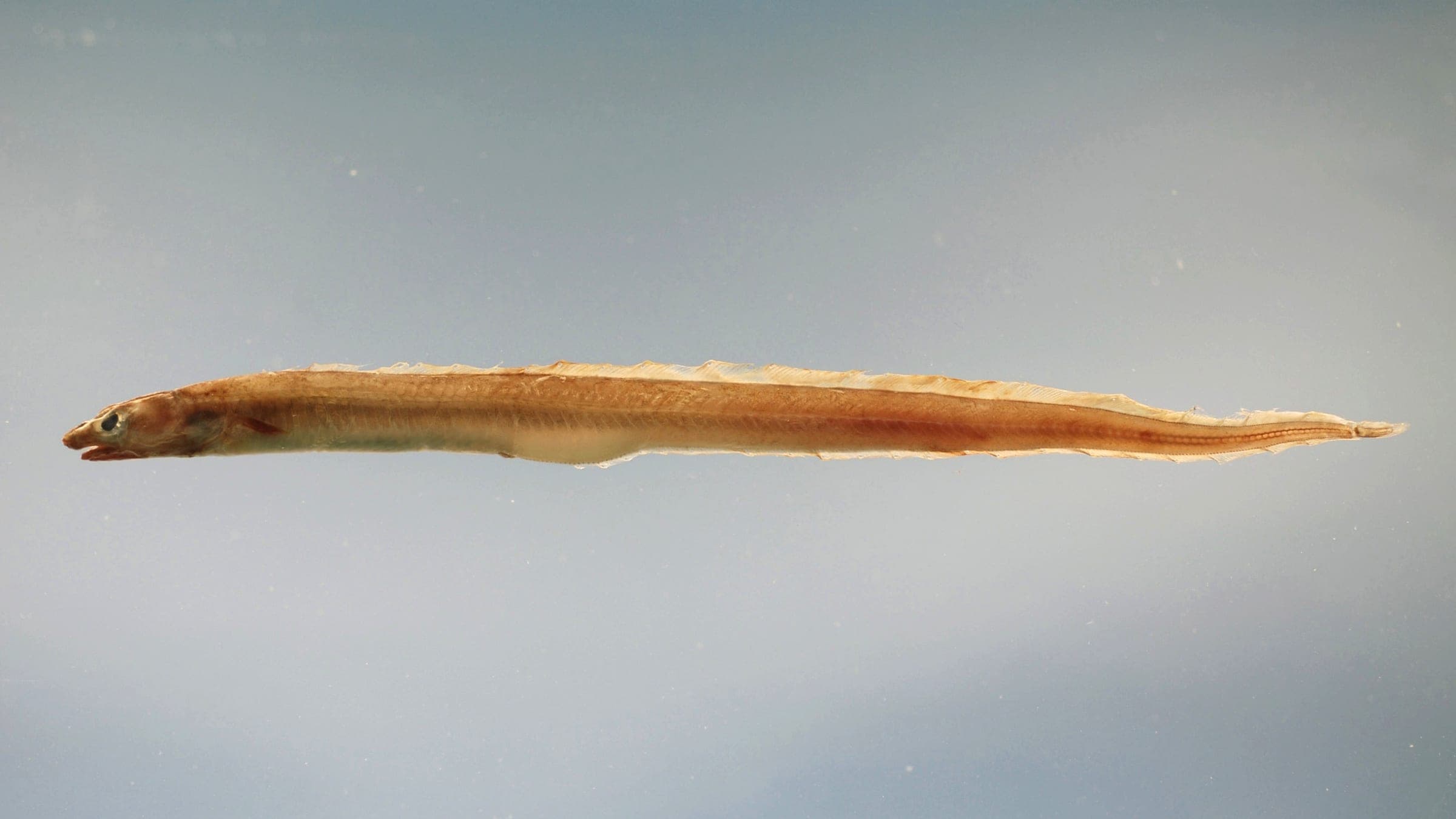
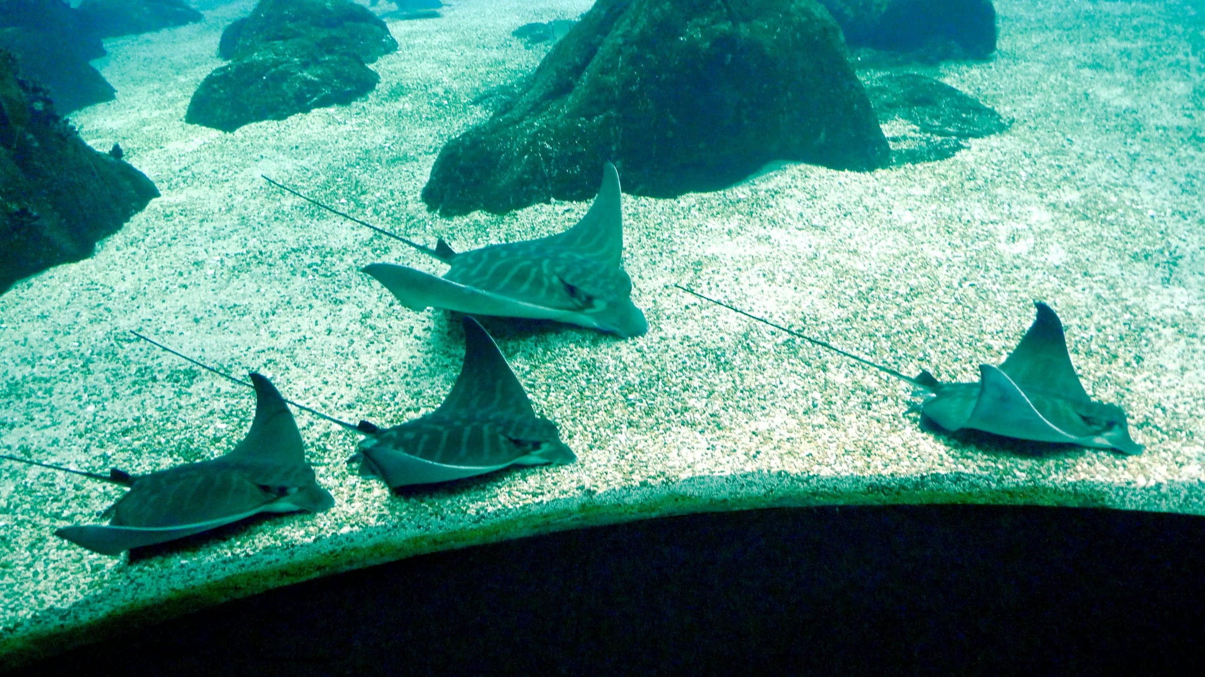
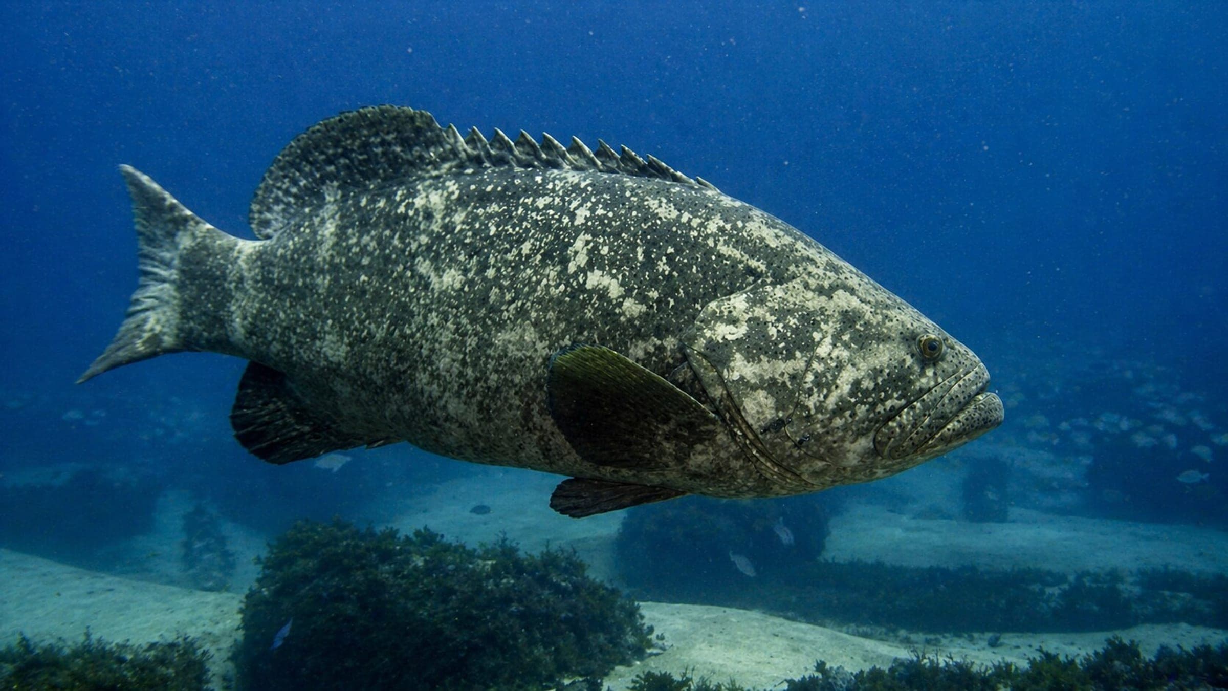
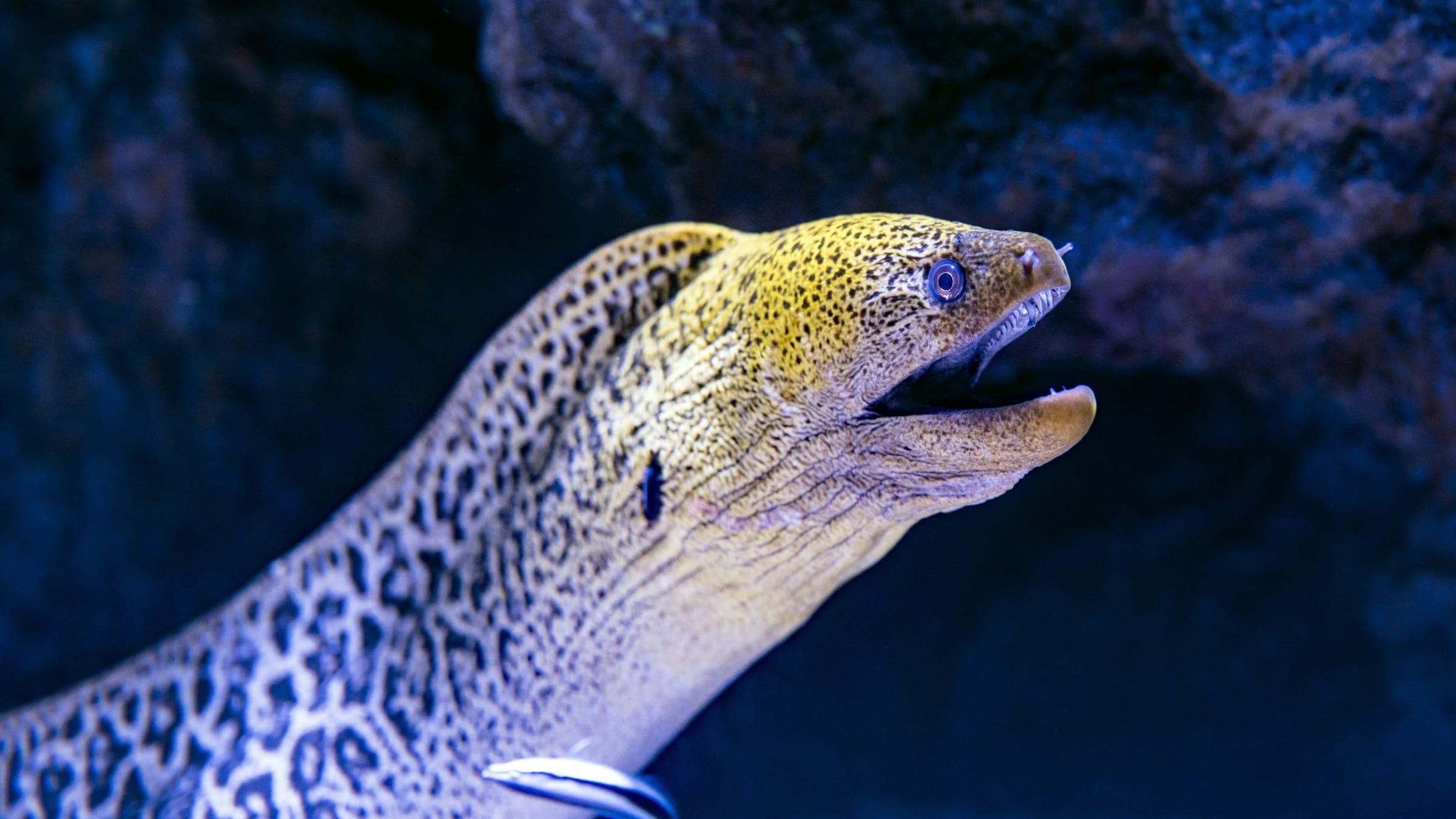
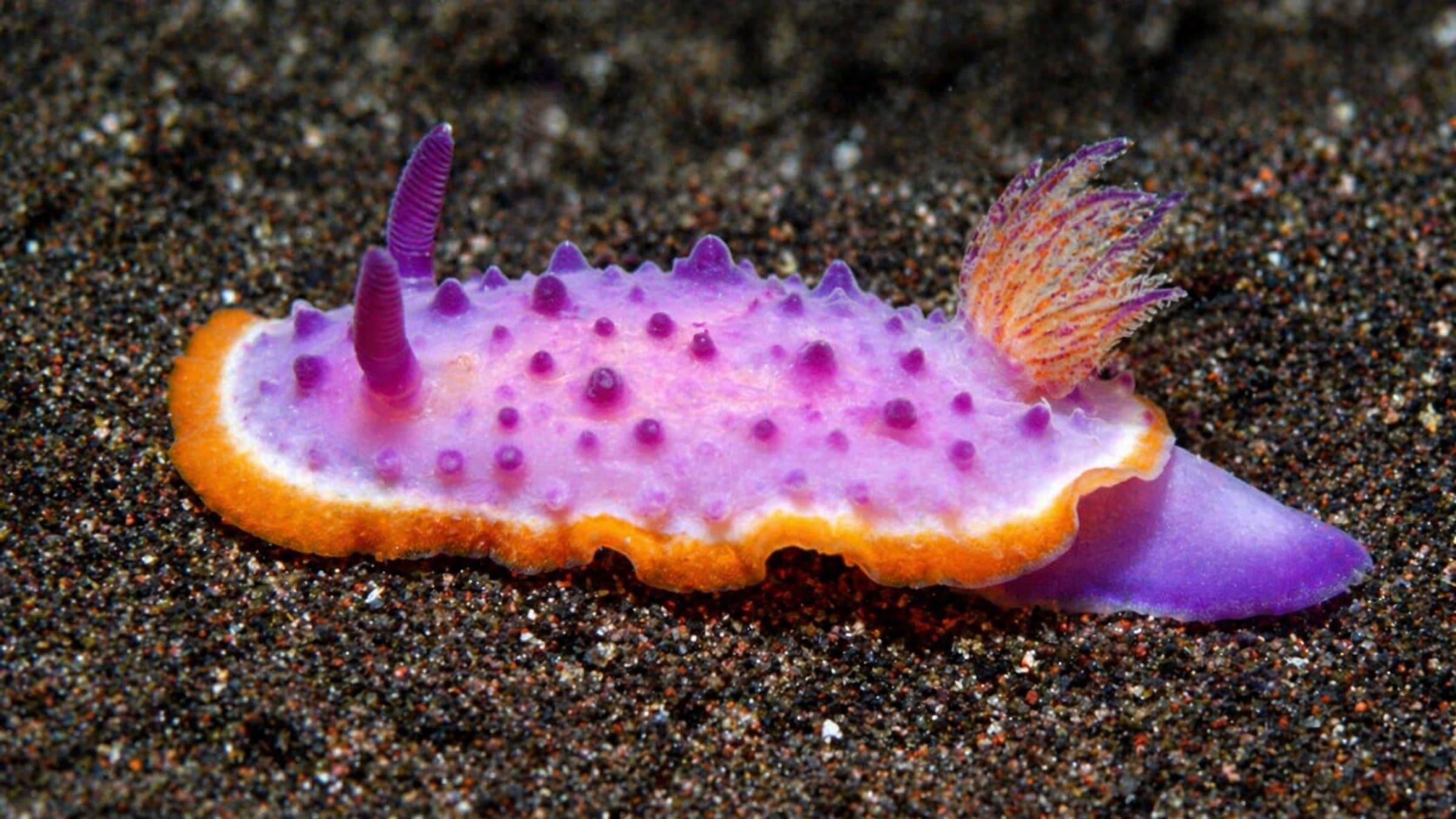
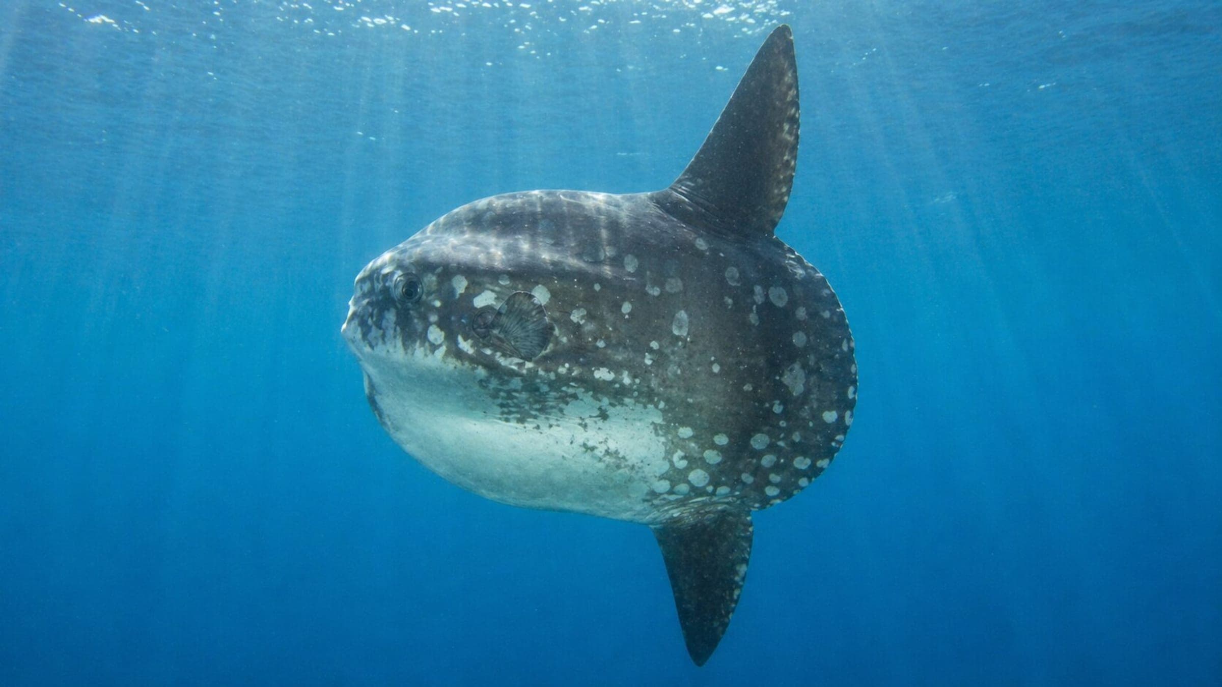
Species commonly reported at this site, with direct links into their wildlife guides.
Community dive logs and visit reports for this site.
No Dive Logs Yet
Be the first to log a dive at this spot and share your experience!
Average conditions based on logged dives & visits.
Planning answers for access, conditions, timing, and site logistics.
Last Updated
Research Sources
Wreck history, depth profile, current cautions, and advanced-certification guidance.
Reserve context, visibility, and wreck reputation.
Deck depth and fish life on the wreck.
Boat access, advanced-open-water recommendation, and nitrox planning.
Accessible wreck context and fish-life support.
Reserve context and official regional dive-site overview.
Know this site? Improve Spot Details.

Sheltered Cabo de Palos shore dive with Posidonia terraces and juvenile fish.
Bajo La Morra: rocky reserve dive with strong fish life.
Bajo las Palomas Reserve boat dive with arches.
Murcia Cabo de Palos and Islas Hormigas: shore dive
Sheltered Gran Canaria shore dive with canyons and arches