thescubadirectory.com · Directory
Shore-access listing with beginner entry and approximate depth.
Playa Jeremi: quiet cliff-backed cove with a sloping reef.
Playa Jeremi: quiet cliff-backed cove with a sloping reef.
Save it, log a dive, or explore nearby on the map.
Save it to come back later
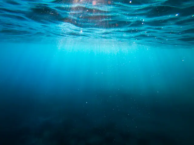
Playa Jeremi is a compact public cove west of Lagun, framed by steep cliffs and a sandy entry that opens into a sloping coral reef. It suits relaxed shore dives and snorkels when you want a quiet site with clear water and an easy-to-follow reef edge. Uneven rock steps from the parking area make the approach more self-sufficient than polished, but the payoff is a low-key west-coast stop with straightforward navigation once you are in the water.
Conservative baseline from public research. No community dives logged yet.
Depth range, seasonality, and planning context.
Reported Depth
12m - 36m
Depth Note
Public dive-site references put the slope around 12-36 m, with a separate listing giving about 26 m overall depth.
Typical Conditions
Clear west-coast water, a shallow sandy start, and a reef slope that is easiest to follow when the sea is calm.
Hazards, restrictions, and access requirements.
Key Hazards
Safety Notes
Water shoes help on the stone steps and shore entry. Pick calmer days if you want the smoothest entry and exit.
Access Restrictions
No entrance fee or formal amenities are noted, so plan to be self-sufficient and use the rock steps carefully.
Legal Notes
Shore divers should use an inflated SMB because of recreational and commercial boat traffic.
Community notes to help plan your visit.
Scuba Diving
Swim out toward the reef edge and then follow the sloping reef north or south.
Freediving
A good freedive fit on calm days because the site starts shallow and slopes gradually, but the entry steps need care.
Snorkeling
Best snorkel coverage starts on the shallow plateau and along the reef edge on calm days.
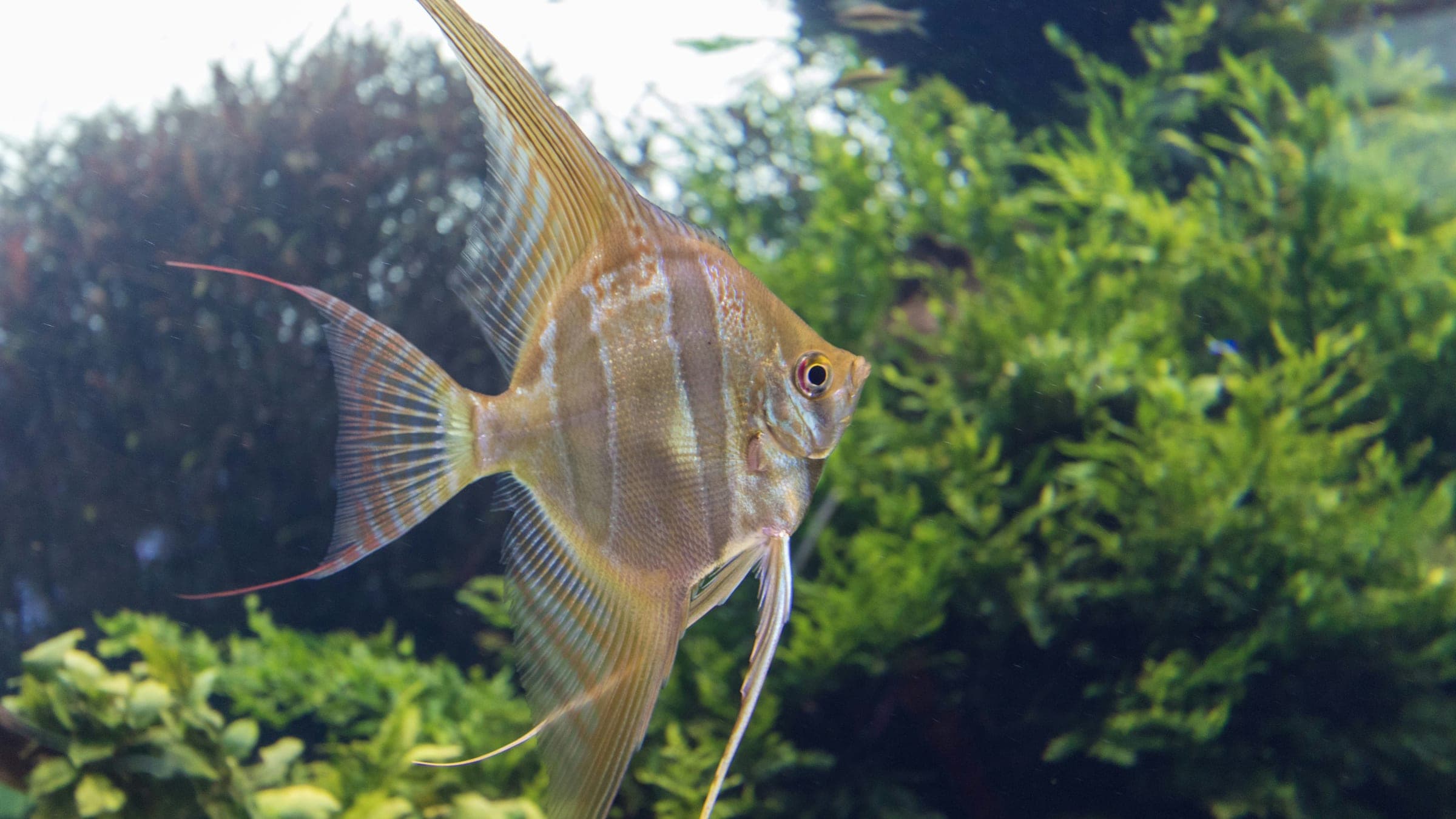
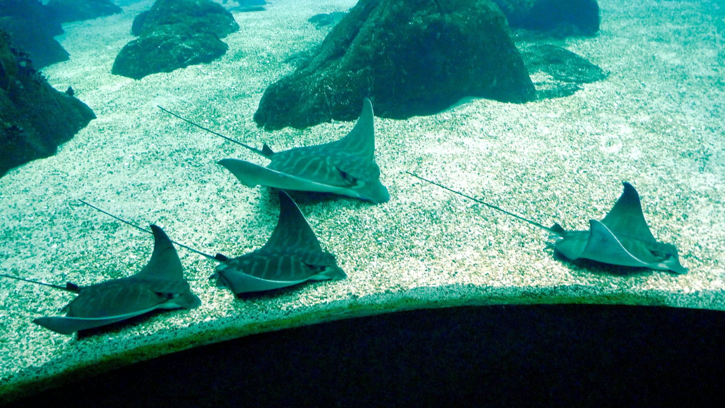
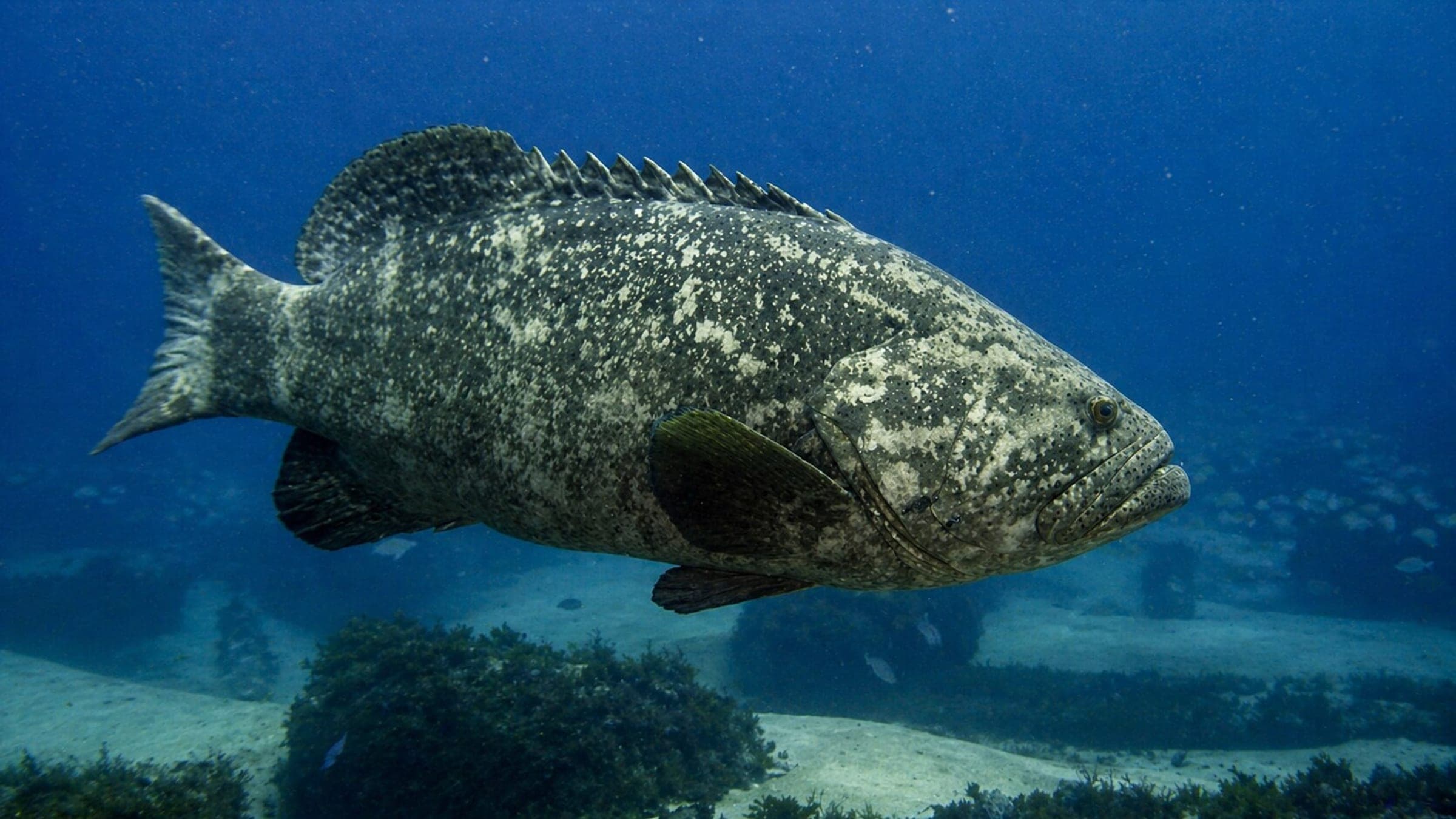
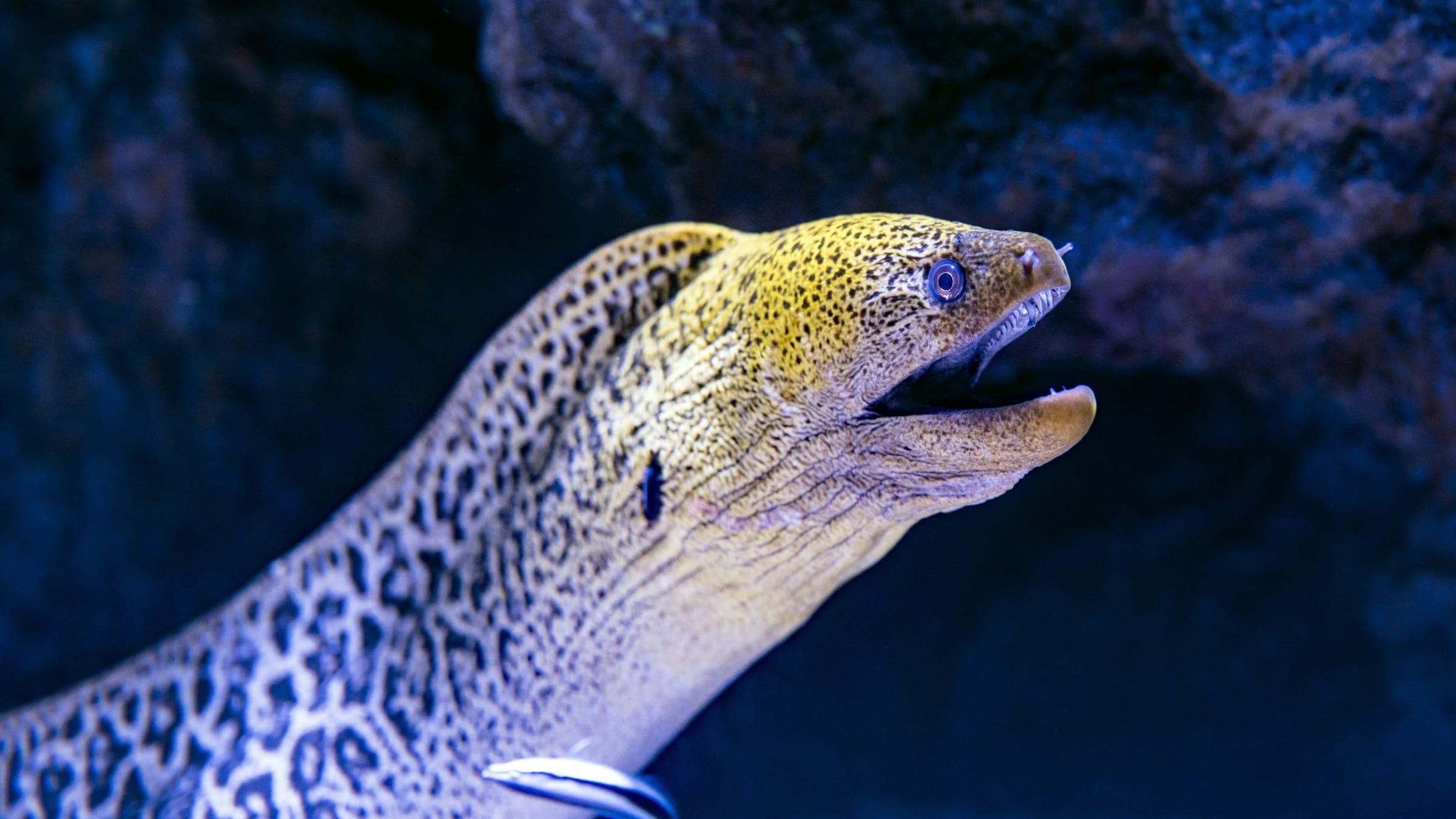
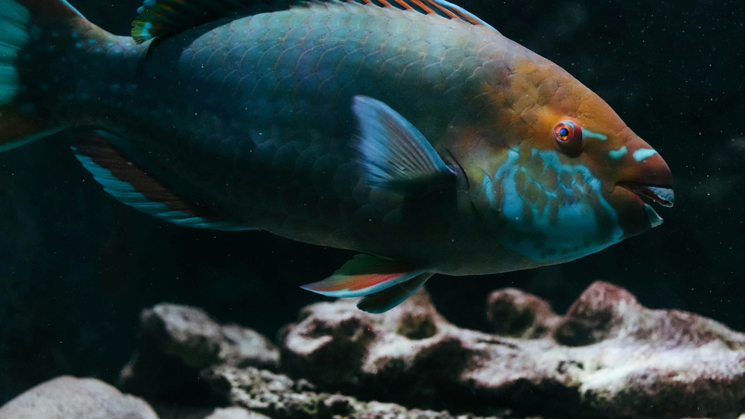
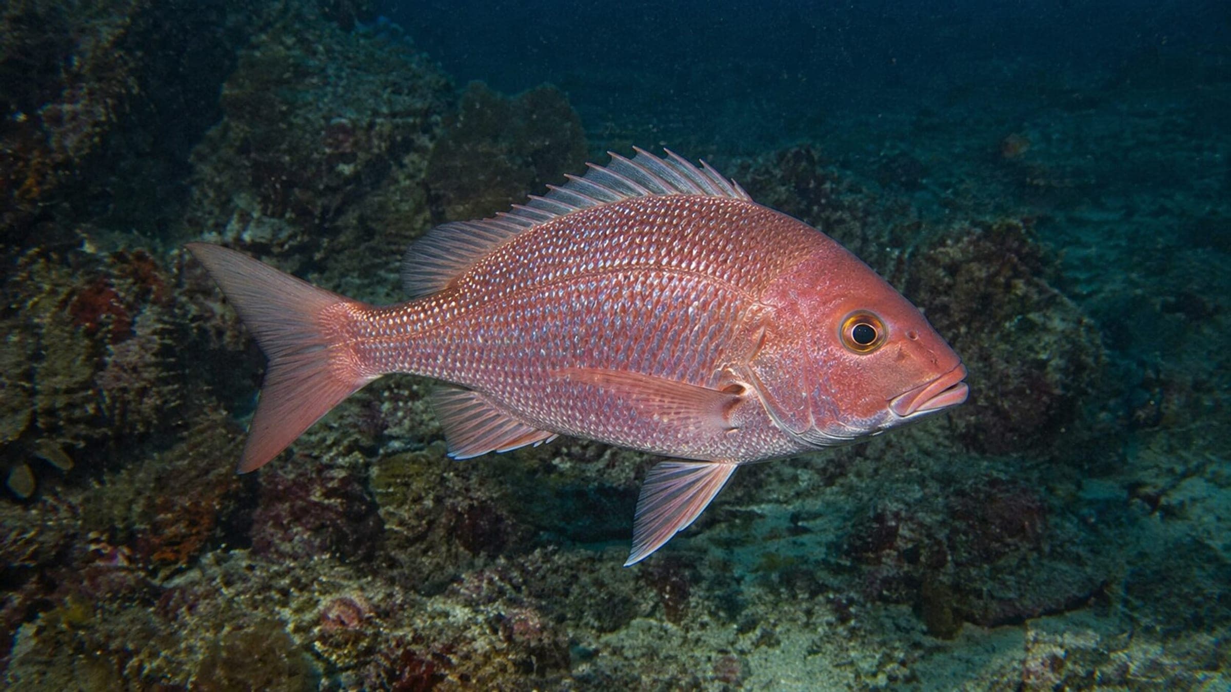
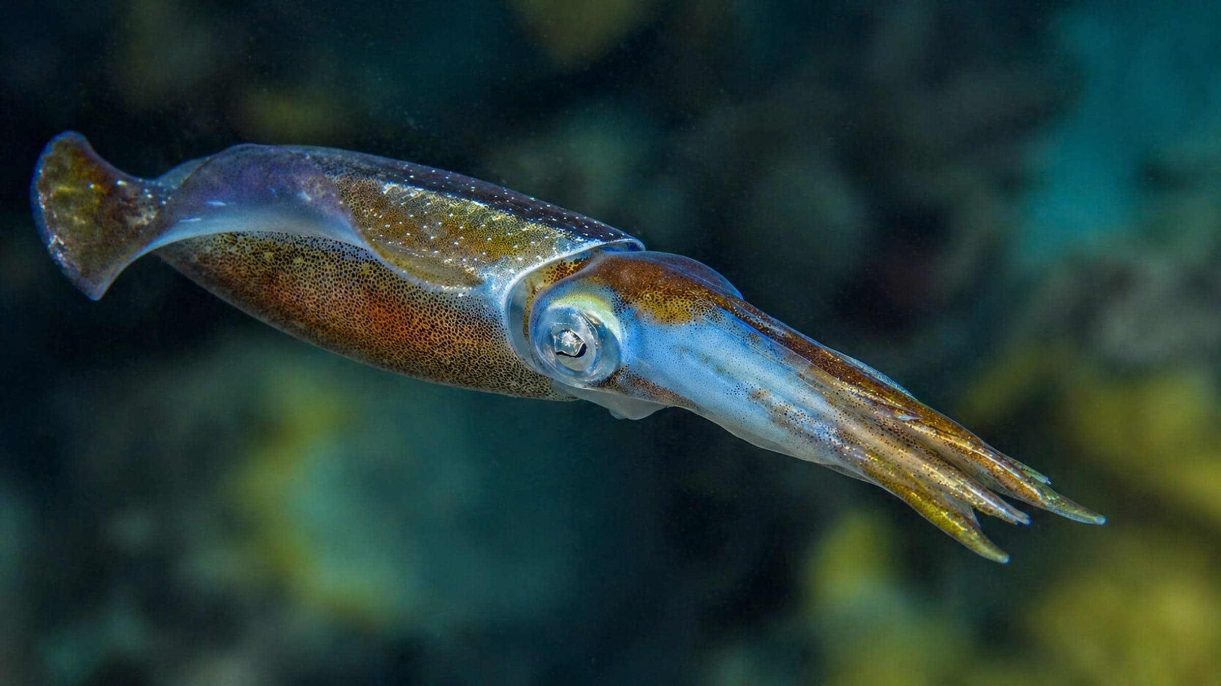
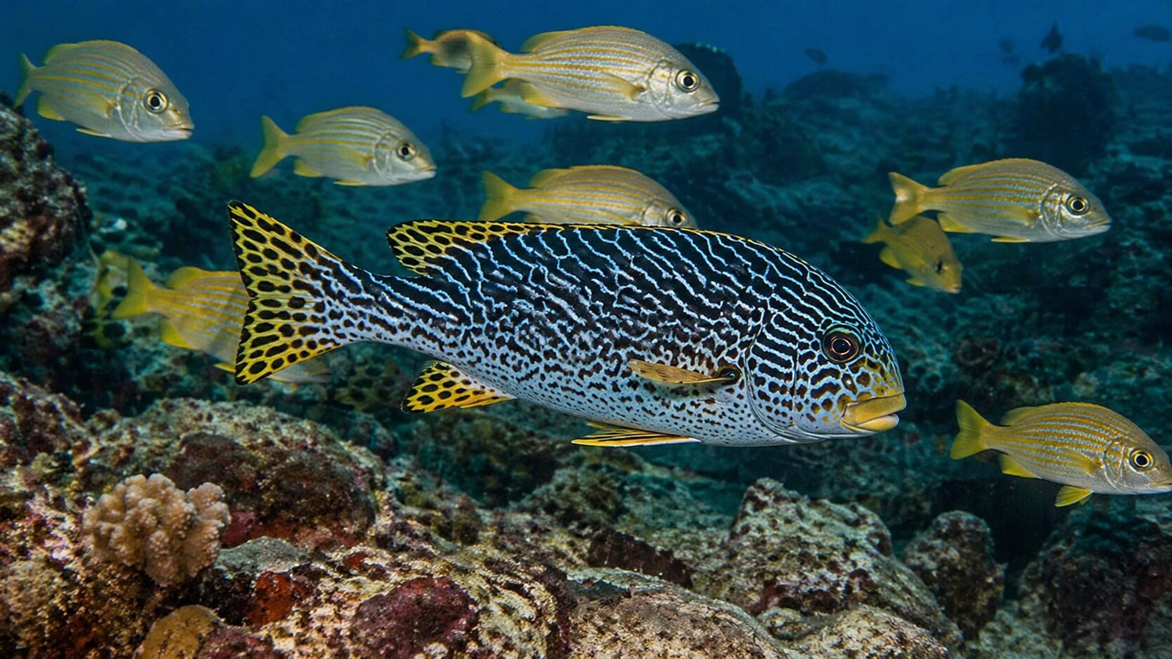
Species commonly reported at this site, with direct links into their wildlife guides.
Community dive logs and visit reports for this site.
Average conditions based on logged dives & visits.
Planning answers for access, conditions, timing, and site logistics.
Last Updated
Research Sources
Shore-access listing with beginner entry and approximate depth.
Official beach page covering access, shade, and entrance fee.
Operator dive guide with depth range, snorkel-site, and marine-life notes.
Guide listing with visibility and coral-health summary.
Review snippet mentioning low waves, good visibility, and quieter conditions.
Know this site? Improve Spot Details.
Playa Lagun is a sheltered cove for easy shore diving and snorkeling.
Kleine Knip is a sheltered west-coast beach dive.
Signature Curaçao reef with a Blue Room add-on
Boat-access sponge wall in west Curaçao
Easy shore dive below Playa Fortis cliffs
Turtle-rich shore reef on Curaçao's west coast