berlintaucher.de · Community
Seasonal diver traffic and lake-scale planning notes
Pferdekoppel is a freshwater training entry at Groß Glienicker See in Berlin.
Pferdekoppel is a freshwater training entry at Groß Glienicker See in Berlin.
Save it, log a dive, or explore nearby on the map.
Save it to come back later
Pferdekoppel is the northern Groß Glienicker See entry in Berlin, used for easy freshwater training and relaxed lake dives. The site combines a sandy public bathing area with a lake route that can run back past the harbour, so it works best as a simple, fish-rich freshwater dive rather than a high-adrenaline site. Plan for ordinary lake visibility, seasonal crowds, and sharing the water with anglers and other users.
Conservative baseline from public research. No community dives logged yet.
Depth range, seasonality, and planning context.
Reported Depth
0.5m - 11.3m
Depth Note
The lake is shallow overall, with a sandy entry and a maximum depth of about 11 m.
Best Season
Late spring through summer, with the busiest windows in May to August.
Typical Conditions
Freshwater lake conditions with a sandy entry, a vegetated bottom, and lake-typical visibility rather than ocean clarity.
Hazards, restrictions, and access requirements.
Key Hazards
Safety Notes
The route passes the harbour, so watch for boat traffic. Take care when diving through the branch labyrinth to avoid snagging equipment.
Access Restrictions
No special permit is listed for the public bathing area, but take note of opening hours, anglers, and seasonal crowding.
Legal Notes
Follow the public bathing-area rules, respect anglers and other lake users, and check local opening-hour guidance before diving.
Community notes to help plan your visit.
Scuba Diving
A straightforward freshwater dive with a sandy entry, training-friendly depth, and a return route that suits navigation practice.
Freediving
The shallow lake entry and calm freshwater make it workable for freedive practice on quiet days, though the site is more often used for scuba training.
Snorkeling
Snorkeling is possible in the shallows, but the site is mainly a lake dive and training entry rather than a snorkel beach.
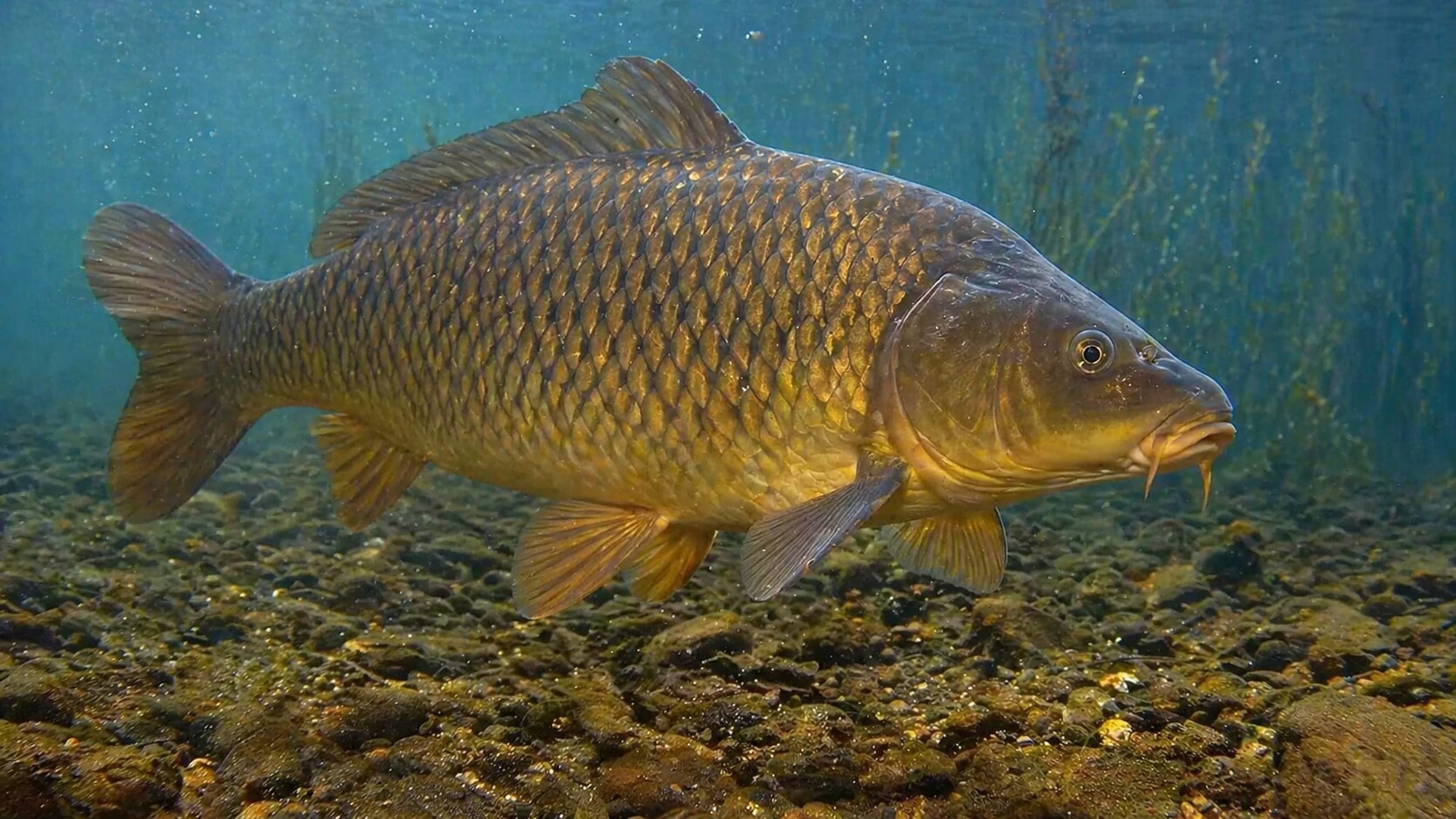
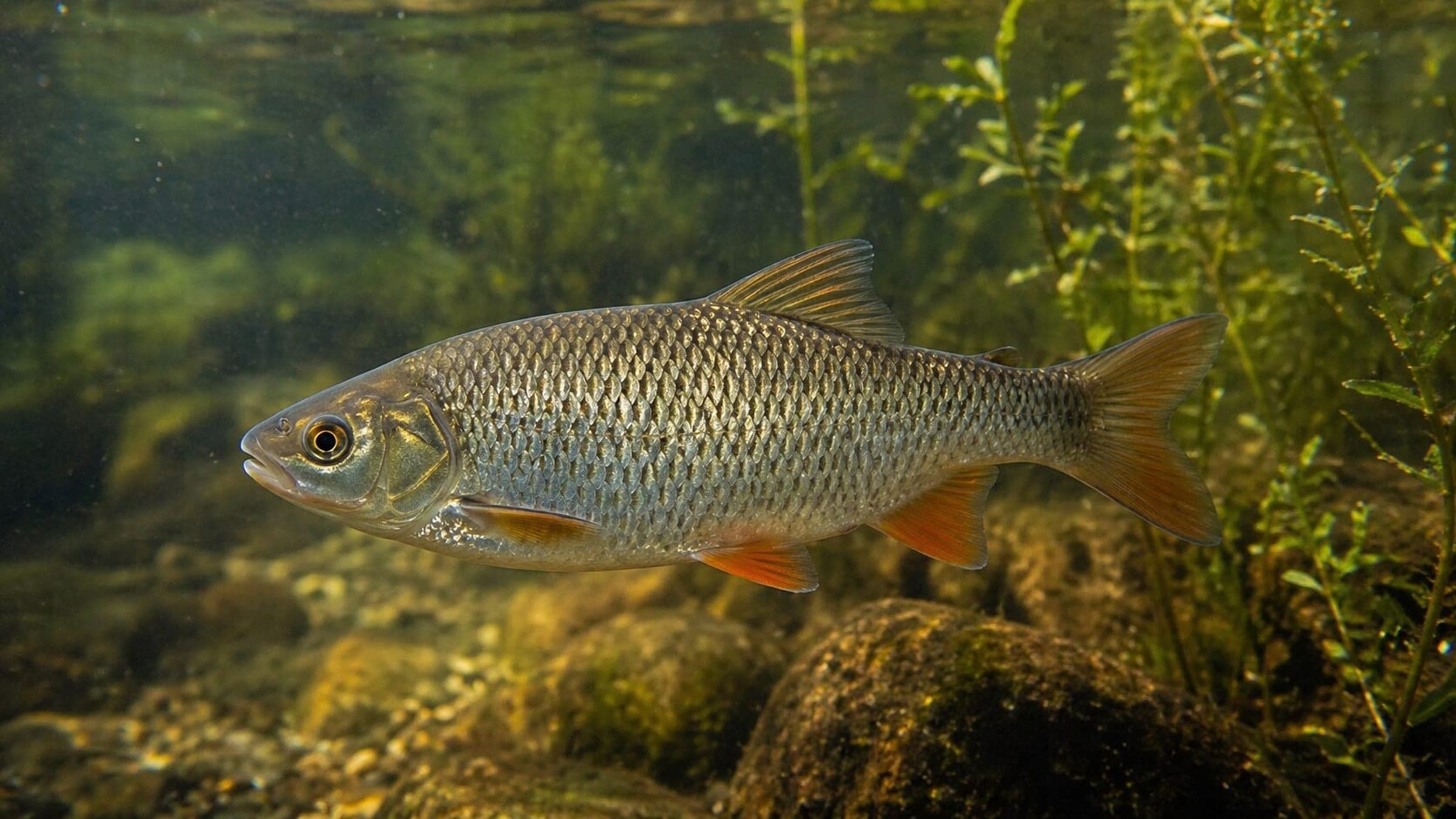
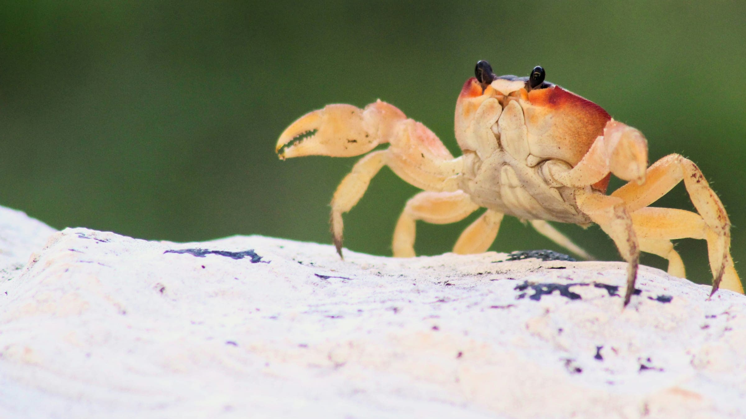
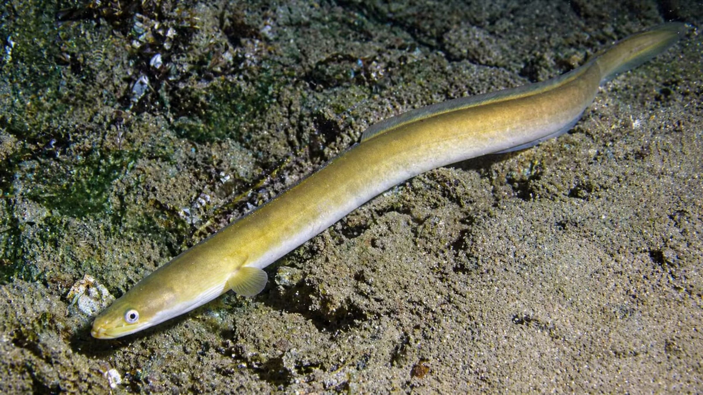
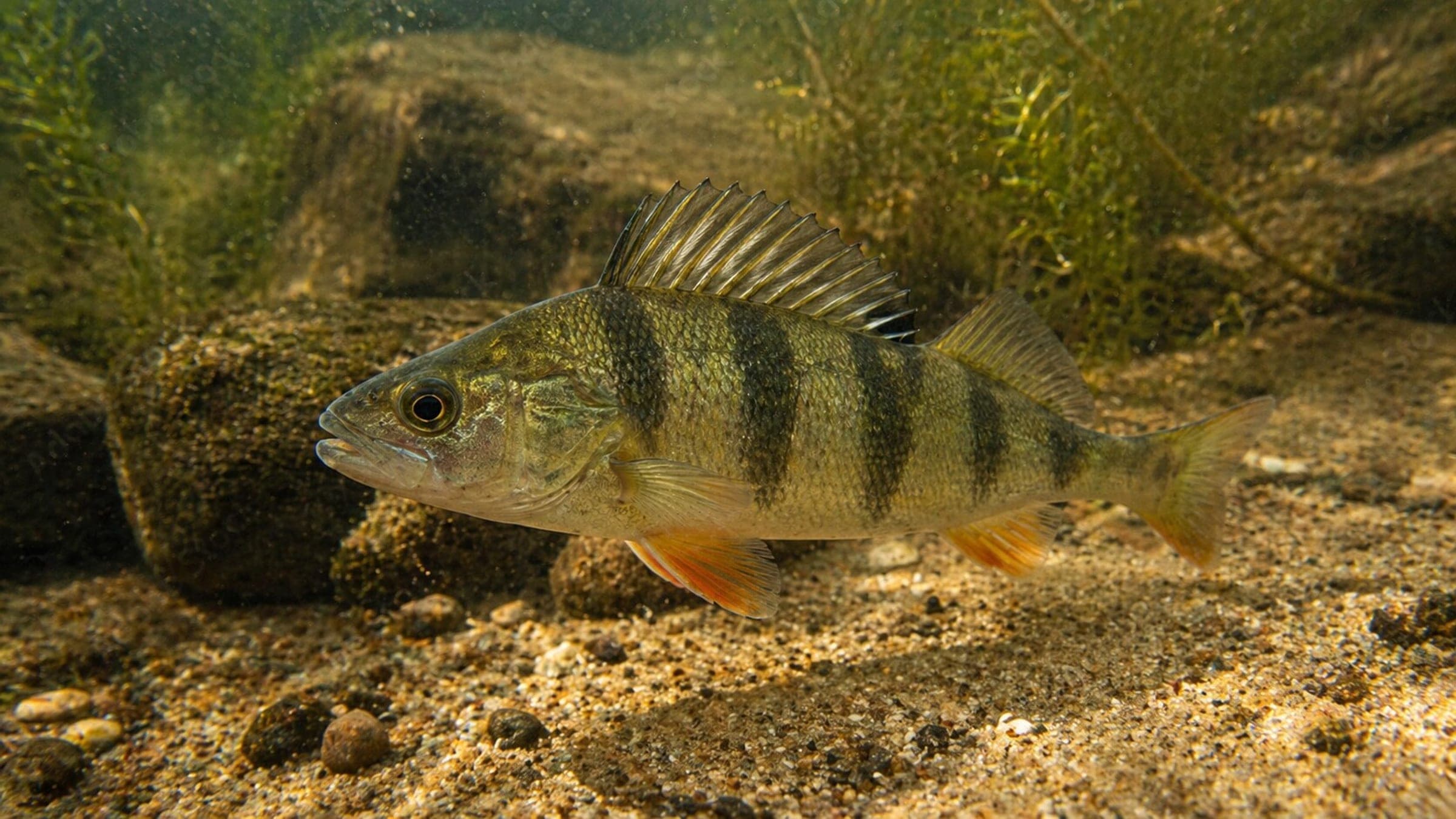
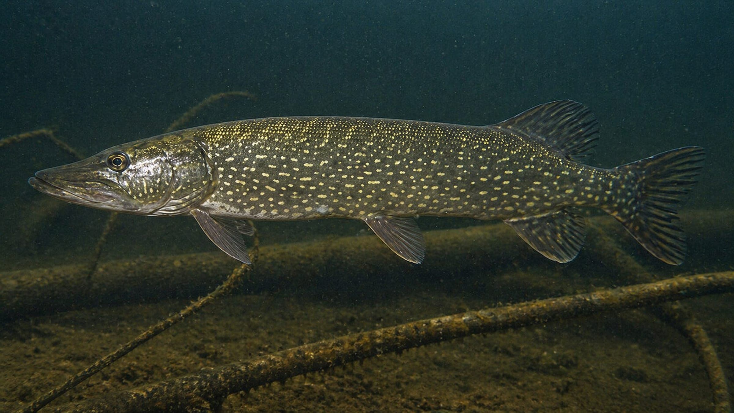
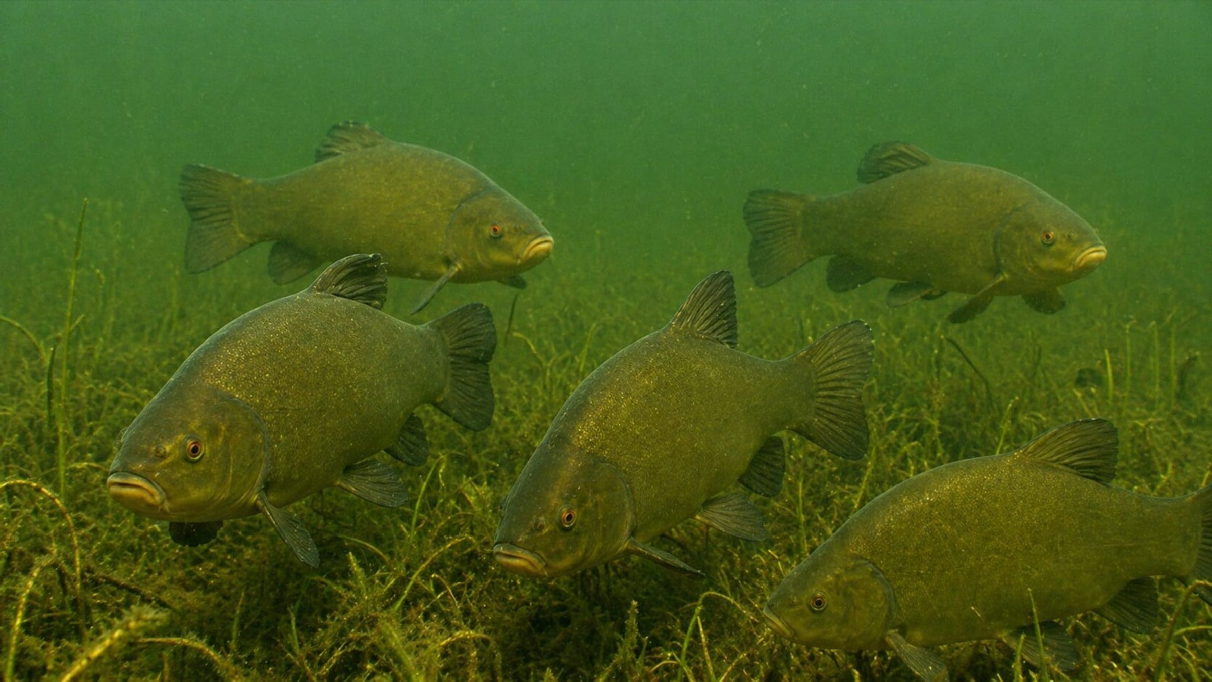
Species commonly reported at this site, with direct links into their wildlife guides.
Community dive logs and visit reports for this site.
Average conditions based on logged dives & visits.
Planning answers for access, conditions, timing, and site logistics.
Last Updated
Research Sources
Seasonal diver traffic and lake-scale planning notes
Sandy beach entry and clear-water lake context
Visibility, current, fish life, and seasonal crowding
Know this site? Improve Spot Details.

Pferdetränke is a dinghy-access freshwater dive with branches and fish shoals.
Kosie’s Dive Basis: lakeside training site with wrecks
Historic boat-accessed wreck dive in Schweriner See
Freshwater shore dive with a course and wreck
Technical freshwater MiG-17 wreck with local-base access.
Summer lido with shallow freshwater swimming and a marked thermocline.