www.delphinus.eu · Operator
Route 4 description, rocky access, visibility, currents, and marine life for El Cabron.
Deep El Cabron route with volcanic walls and fish life.
Best handled by a local operator that can choose the entry window and avoid a rough exit.
Punta de la Sal is the deeper, more exposed route inside Gran Canaria's El Cabron reserve near Arinaga. Expect a rocky shore entry, volcanic ledges, cracks, sand patches, and fish-rich drop-offs that reward experienced divers when the sea is calm and the local plan is conservative.
Conservative baseline from public research. No community dives logged yet.
Depth range, seasonality, and planning context.
Reported Depth
10m - 30m
Depth Note
Public descriptions place the working section around 10 to 20 m, with the deeper line reaching about 30 m.
Best Season
Year-round, with calmer mornings and settled swell windows.
Typical Conditions
Volcanic ledges, cracks, sand patches, and an exposed Atlantic shoreline with good visibility on settled days and more demand when wind or swell builds.
Hazards, restrictions, and access requirements.
Key Hazards
Safety Notes
Use a local guide who knows the entry and can read the sea state. Keep buoyancy tight on the deeper section and turn early if the exit gets rough.
Access Restrictions
Use the designated rocky shore approach and avoid the site when wind or swell makes the entry or exit poor.
Legal Notes
Follow reserve guidance and any local access controls in force for the El Cabron area.
Community notes to help plan your visit.
Scuba Diving
This is a better fit for experienced scuba divers than for casual reef hopping. The deeper line and exposed shore setup reward careful planning.
Freediving
Not a primary freedive route; the deeper profile and rocky shore access make scuba the better fit.
Snorkeling
Not a snorkel-first site; the terrain and depth are better suited to scuba.
Use the planner to scan this week, inspect today in local time, and understand how exposure shapes conditions at Punta de la Sal.
Directional shelter context for incoming swell.
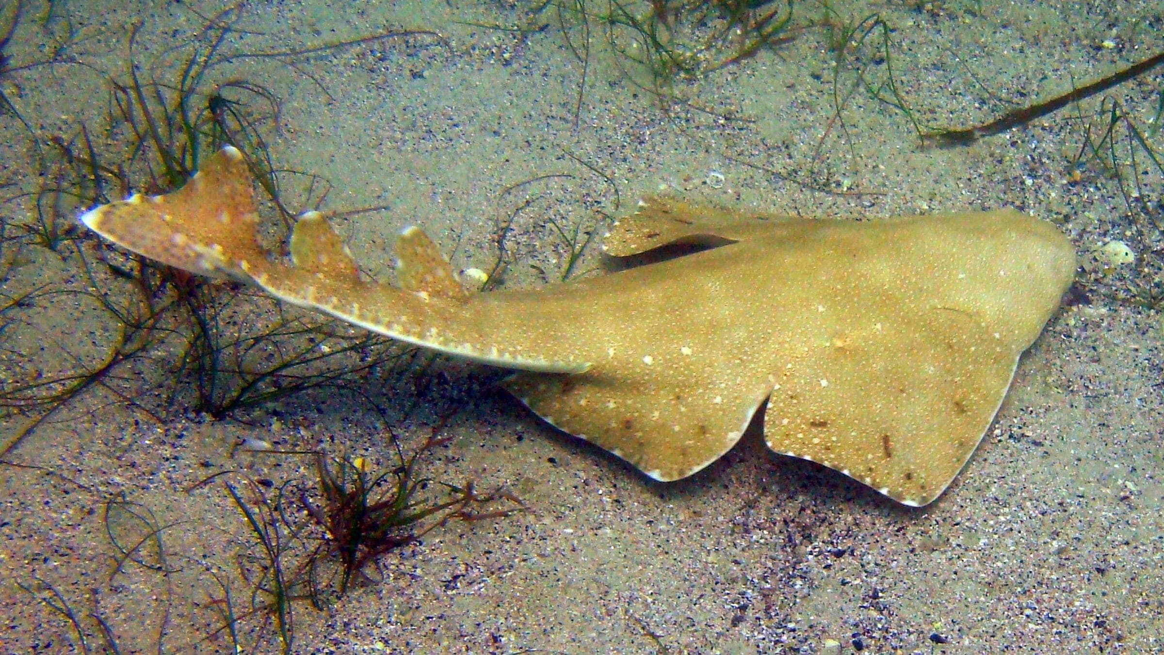
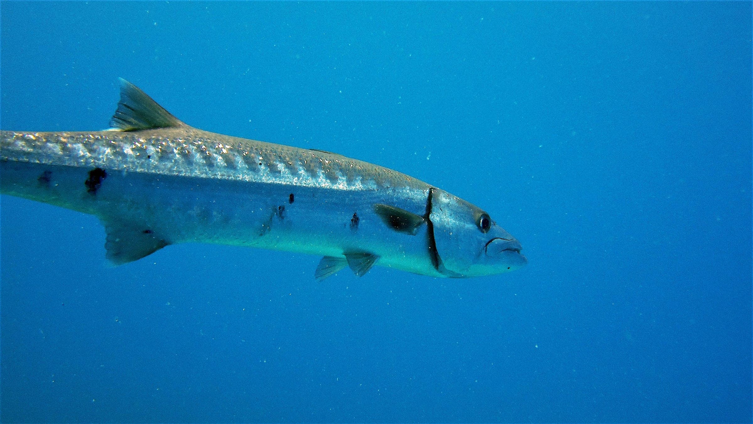
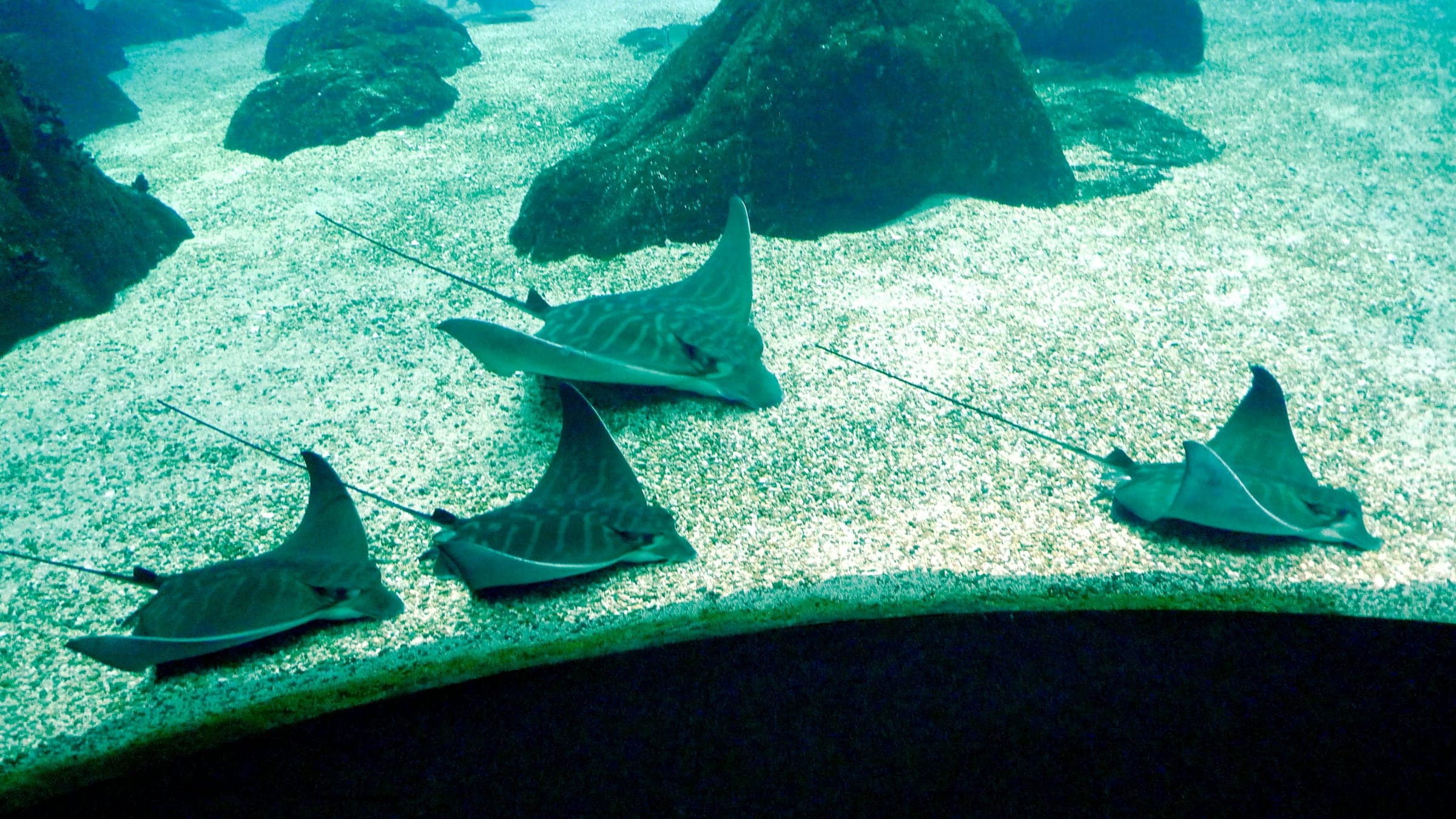
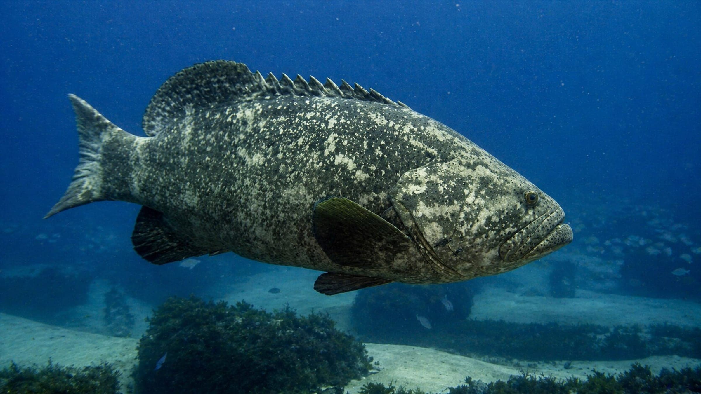
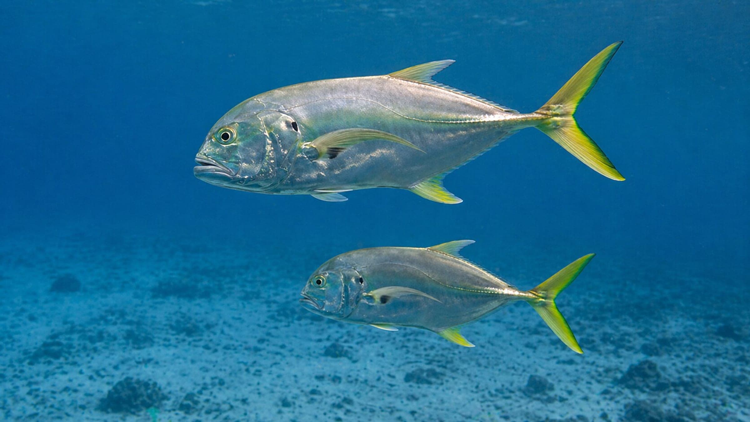
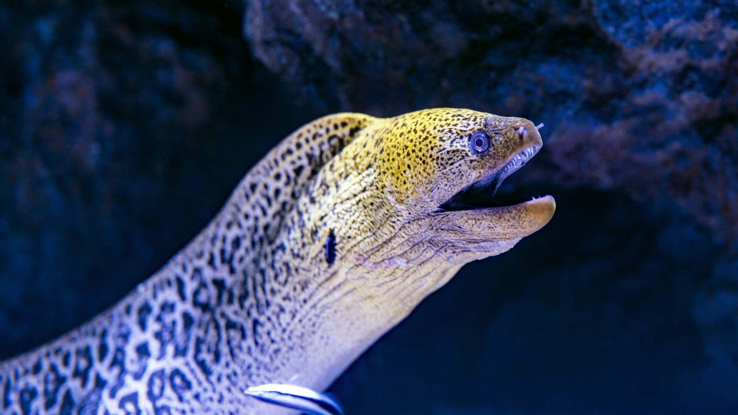
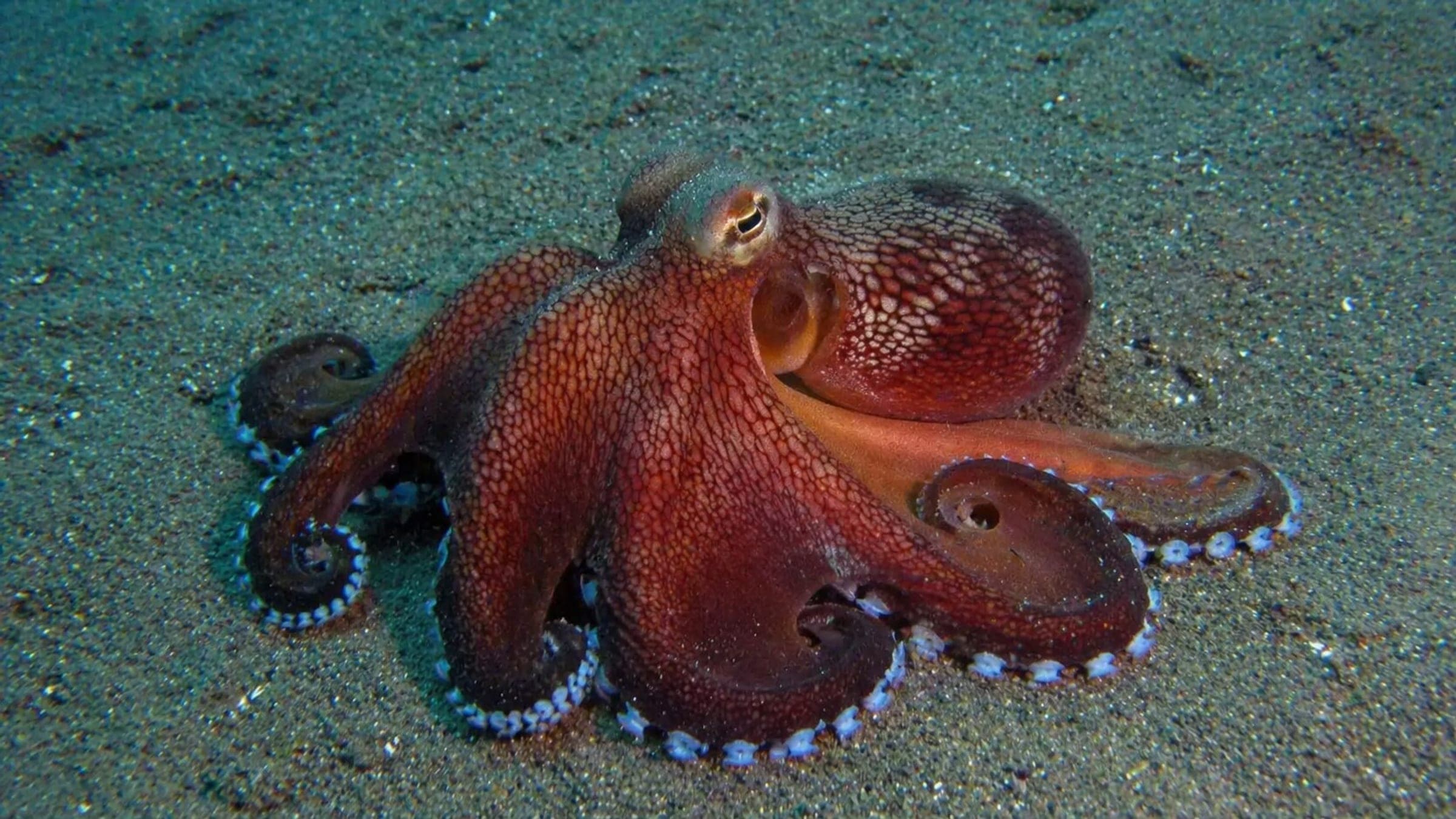
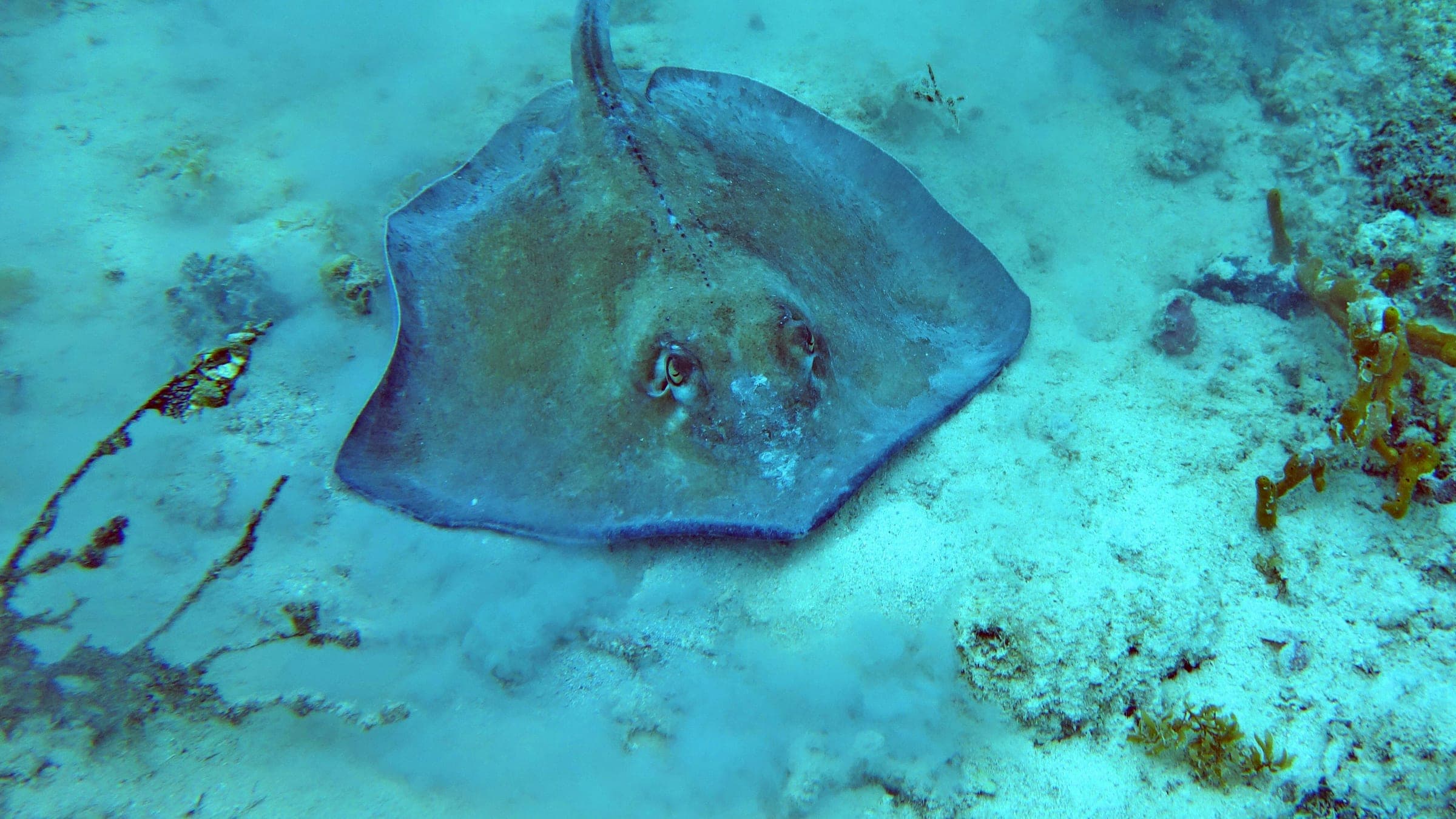
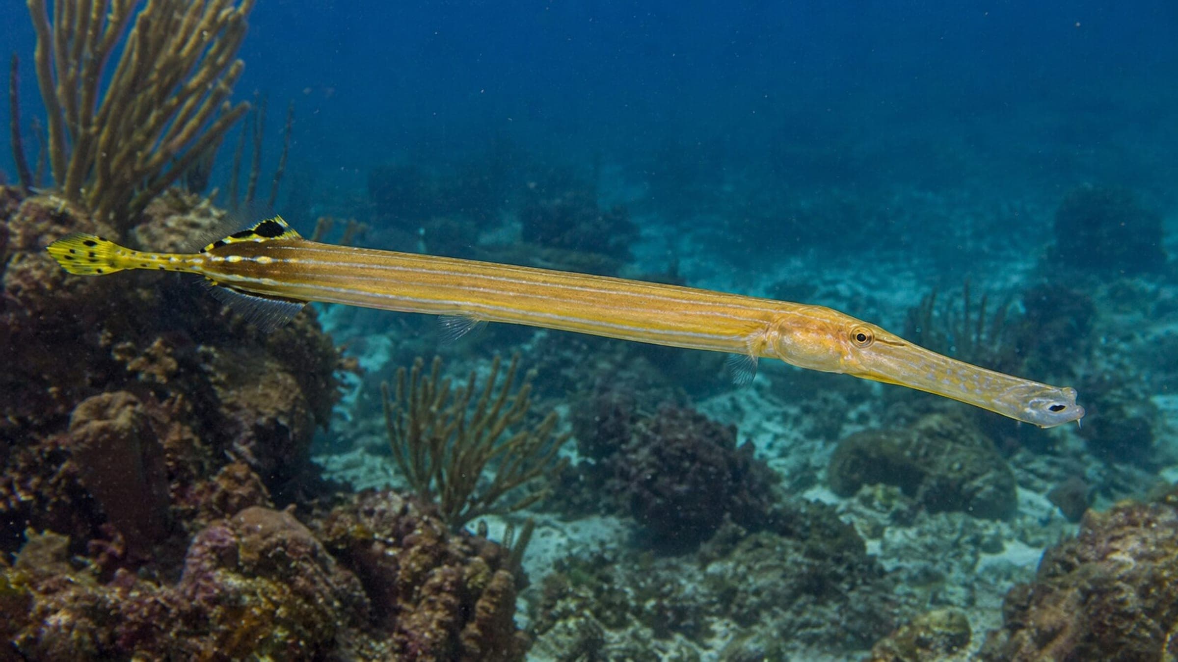
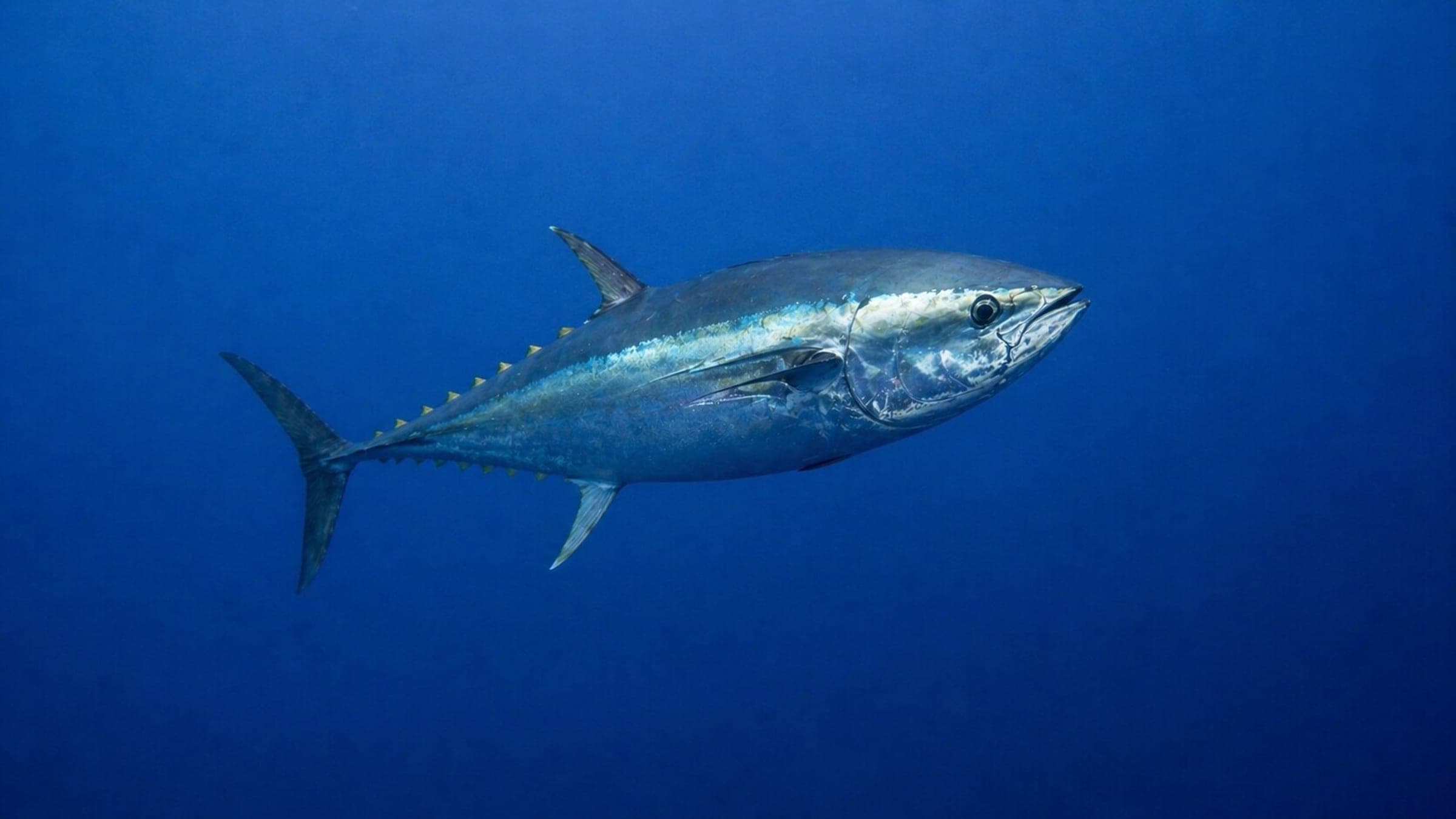
Species commonly reported at this site, with direct links into their wildlife guides.
Community dive logs and visit reports for this site.
Be the first to log a dive at this spot and share your experience!
Average conditions based on logged dives & visits.
Planning answers for access, conditions, timing, and site logistics.
Last Updated
Research Sources
Route 4 description, rocky access, visibility, currents, and marine life for El Cabron.
Official protected-area context for Punta de la Sal.
Official tourism page with access, depth band, and the Punta de la Sal route within El Cabron.
Know this site? Improve Spot Details.
Guided cave dive in El Cabrón's volcanic reserve.
Sheltered beginner bay dive in Gran Canaria.