below.app · Directory
Independent directory summary of the rocky reef/islet layout and deeper slope profile.
Tekirova boat-diving cluster with reefs, caves, and wrecks.
Tekirova boat-diving cluster with reefs, caves, and wrecks.
Boat access from Tekirova or Kemer is the normal approach, and local operators choose the day's sub-sites based on weather and group ability.
Three Islands is Tekirova's boat-diving cluster: rocky islets, reef slopes, caves, wrecks, and deeper wall sections in clear Mediterranean water. Local boats run mixed-ability day trips, with calmer shallow sections for newer divers and more dramatic structure for experienced divers.
Conservative baseline from public research. No community dives logged yet.
Depth range, seasonality, and planning context.
Reported Depth
3m - 60m
Depth Note
Three Islands is a cluster of sub-sites rather than one fixed bottom contour. Public pages describe shallow beginner sections and deeper cave, wreck, and wall dives, with operator references ranging from roughly 3m to 60m depending on the chosen sub-site.
Best Season
May through November is the main operating season. Calmer summer and early autumn boat days are usually the easiest.
Typical Conditions
Clear Mediterranean boat-diving with mixed shallow and deeper structure, plus enough variety for both relaxed sightseeing and more advanced route choices.
Hazards, restrictions, and access requirements.
Key Hazards
Safety Notes
Carry a torch for the cave and wreck sections, keep close to your guide on route changes, and plan around boat traffic at the surface.
Access Restrictions
Boat access is the normal way in. The exact sub-site is usually chosen by the local operator based on weather and the day's group mix.
Legal Notes
Follow local marine-protection guidance, wreck etiquette, and any site-specific cave or artifact rules set by the operator.
Community notes to help plan your visit.
Scuba Diving
This is best as a boat scuba day: shallow reef slopes suit newer divers, while caves, wrecks, and deeper walls suit more experienced divers.
Freediving
Freediving is secondary here. The site is much better known for boat scuba than for dedicated freedive sessions.
Snorkeling
Surface snorkeling can work on calm days around the shallower edges, but the site is fundamentally a scuba boat trip.
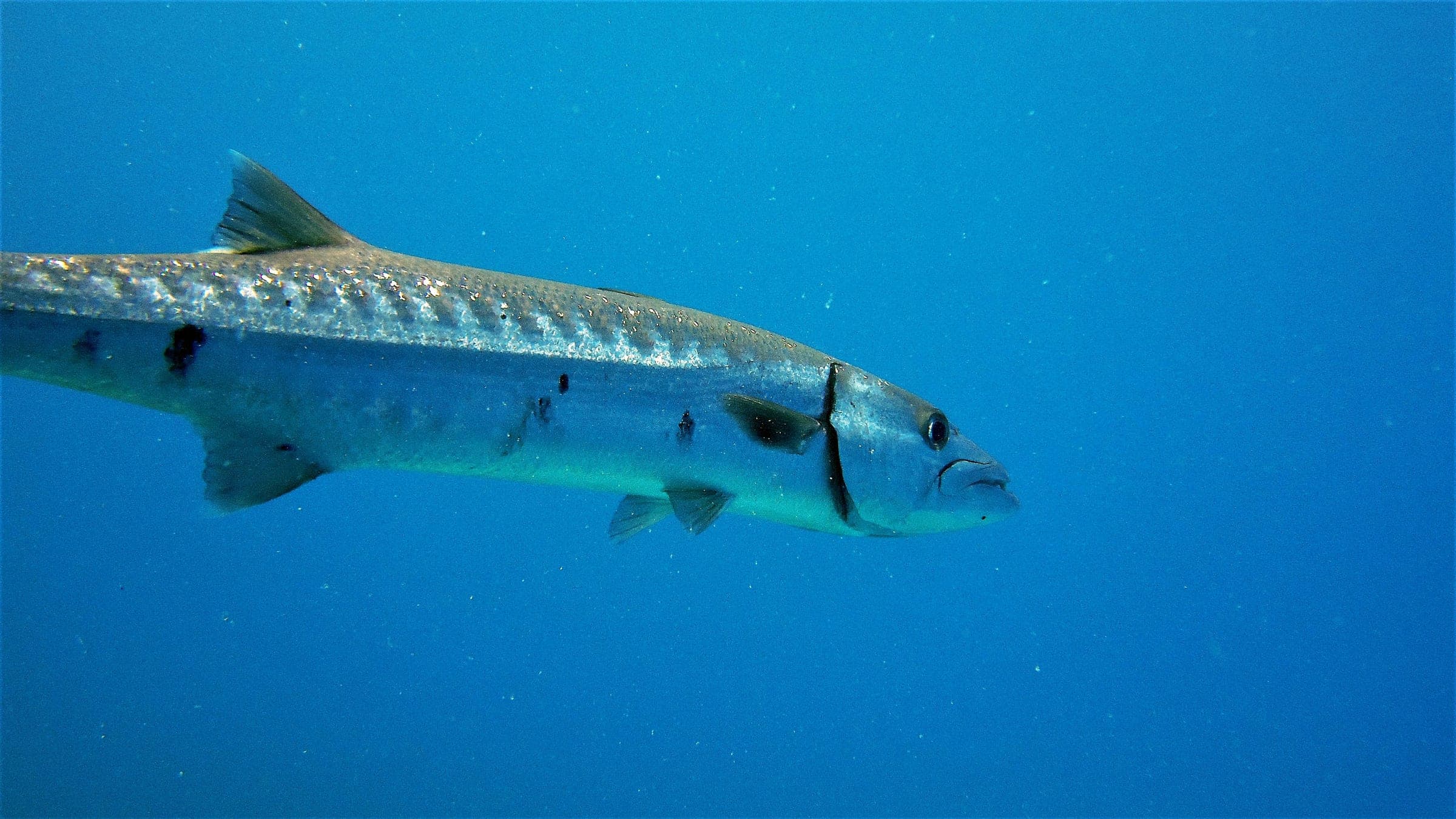
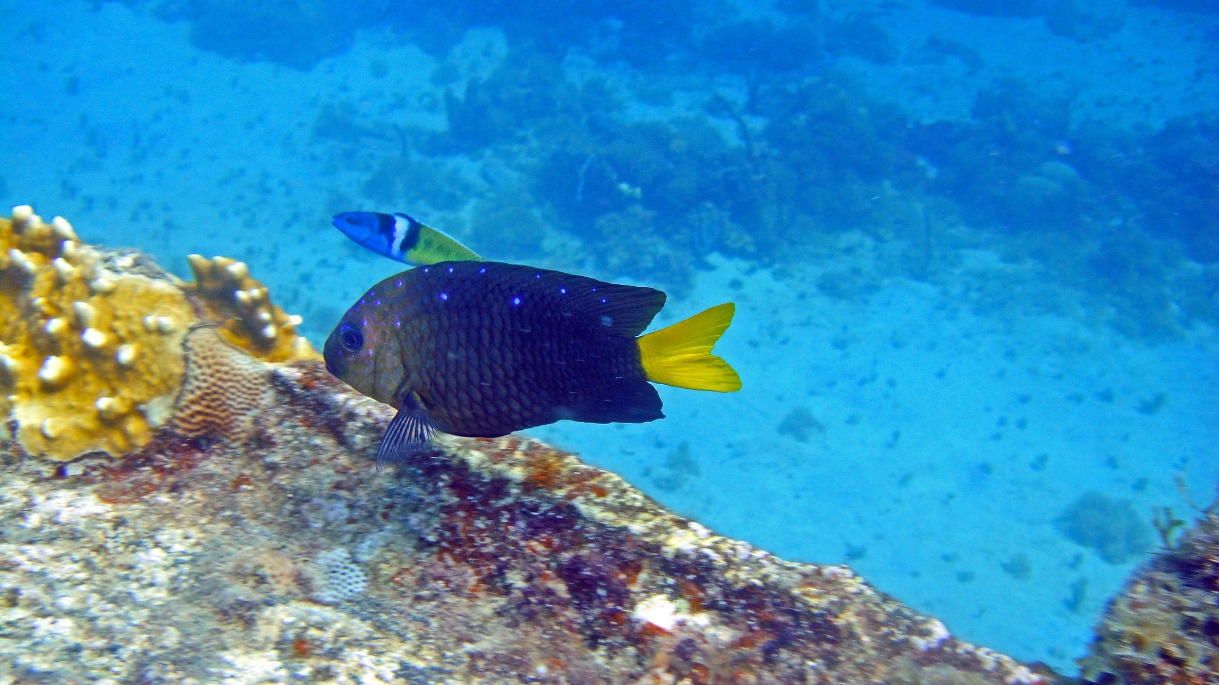
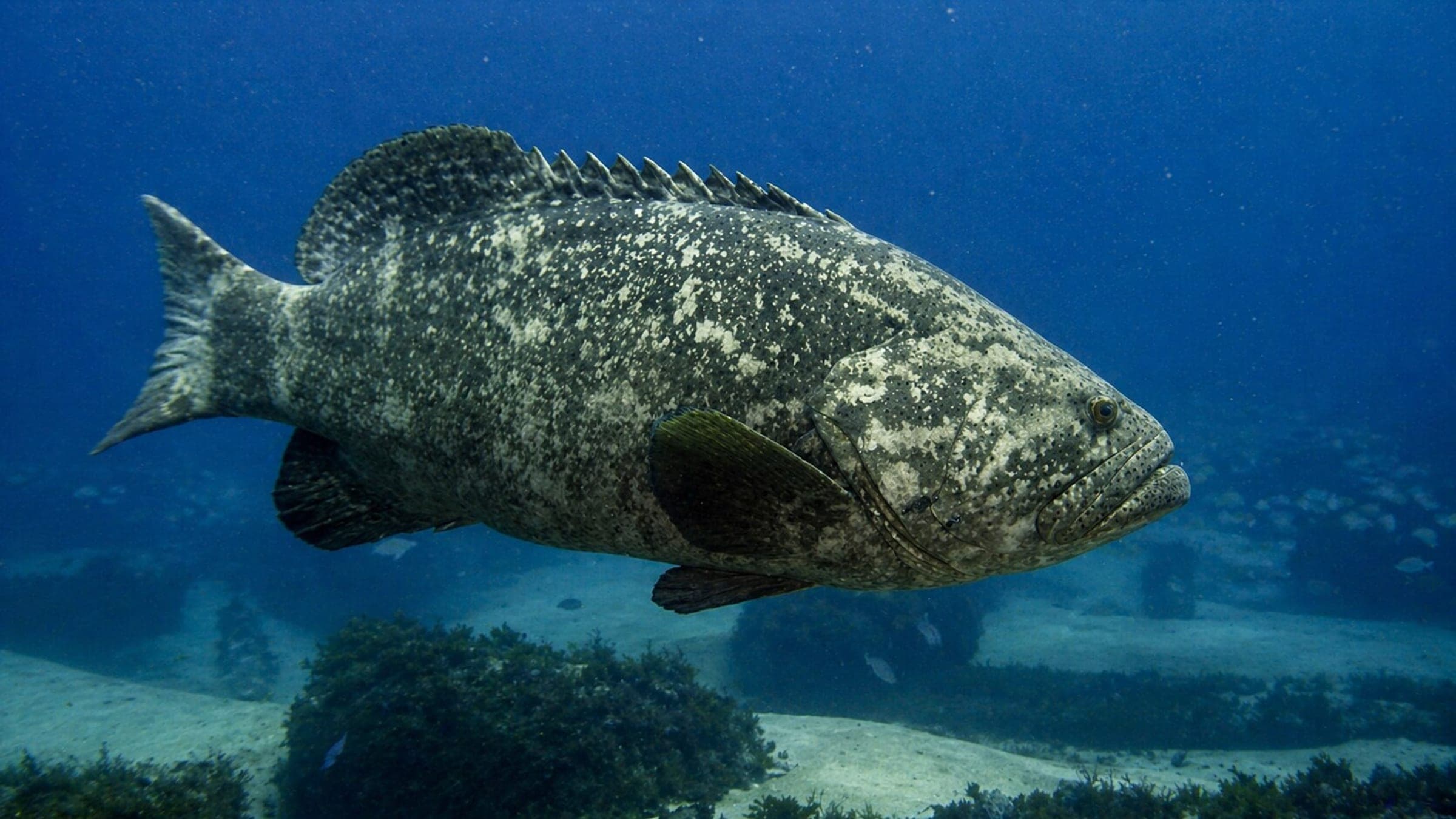
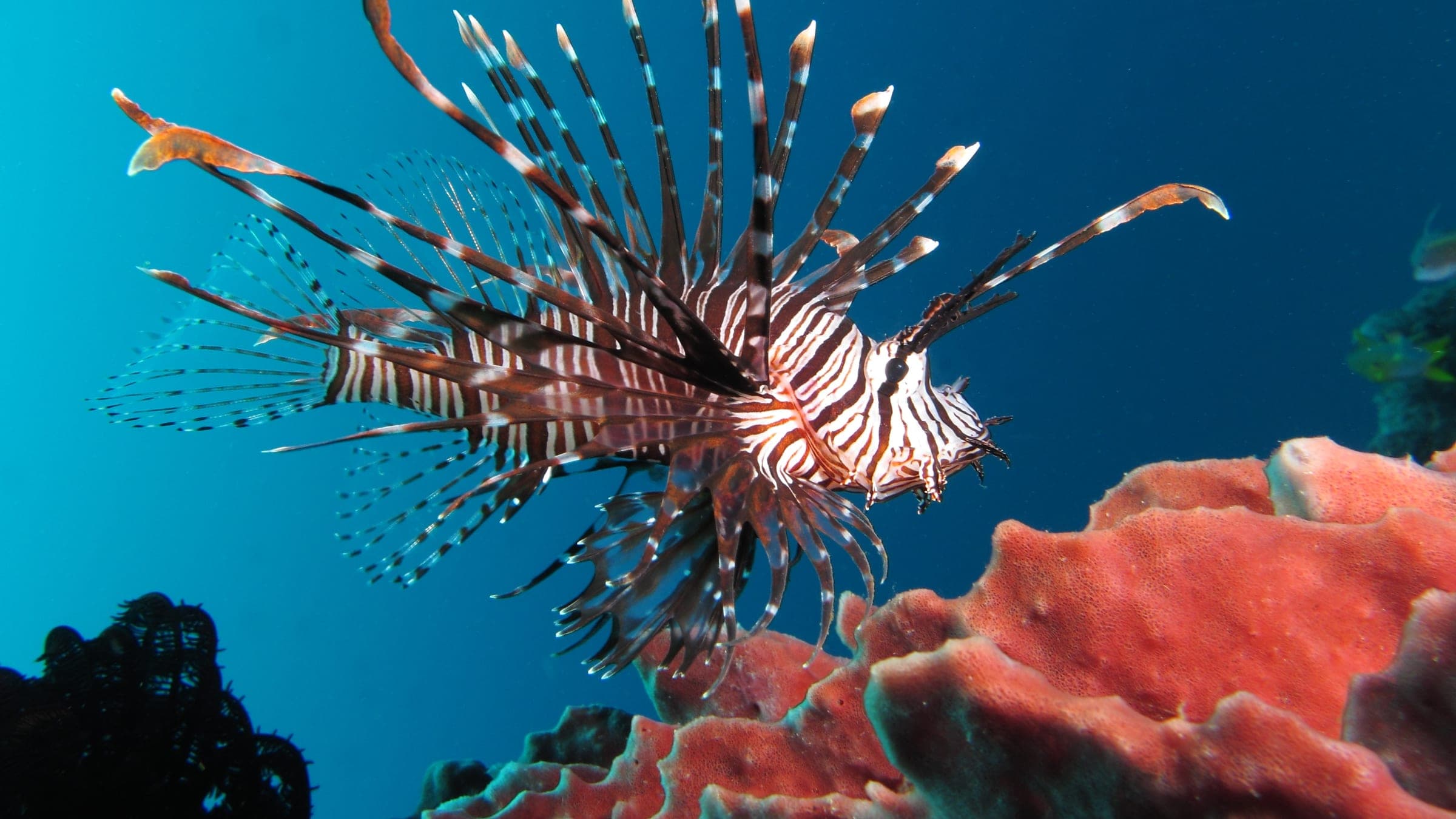
Species commonly reported at this site, with direct links into their wildlife guides.
Community dive logs and visit reports for this site.
Average conditions based on logged dives & visits.
Planning answers for access, conditions, timing, and site logistics.
Last Updated
Research Sources
Independent directory summary of the rocky reef/islet layout and deeper slope profile.
Municipal tourism page with the official Üç Adalar description, reefs, caves, and common marine life.
Tekirova operator page describing clear-water boat trips and mixed beginner-to-advanced route structure.
Know this site? Improve Spot Details.
Uc Adalar is a boat-dive area near Tekirova with reefs and caves.
Tekirova reef-and-wall boat dive
Boat-accessed Three Islands cave dive with a deep profile.
Historic French wreck off Kemer with boat access and strong detail.
Sheltered Kemer bay with shallow shore access and rocky reef patches.