panamadivecenter.com · Operator
Exact Frijoles description, route shape, depth range, current variation, and species list.
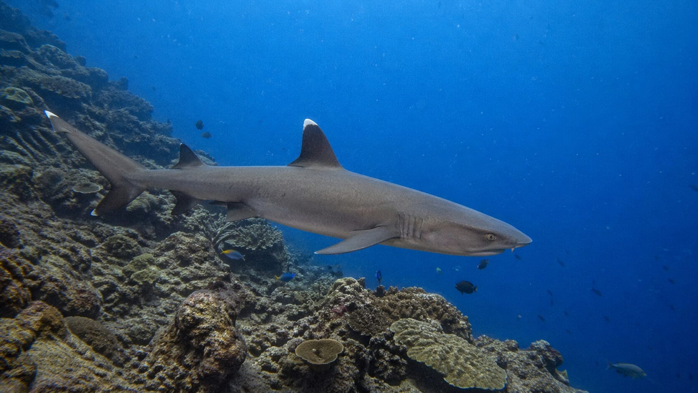
Isla Frijoles is a Coiba island loop with sharks and schooling fish.
Trips are typically arranged through licensed Coiba operators, with park access and boat logistics handled as part of the day.
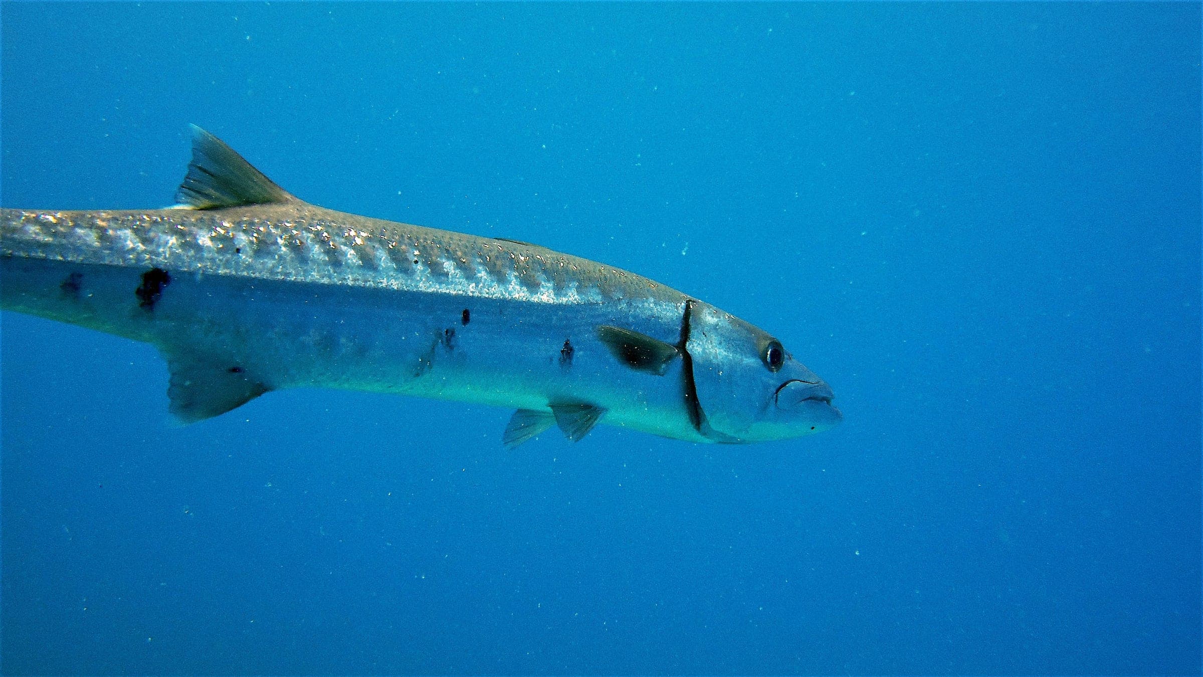
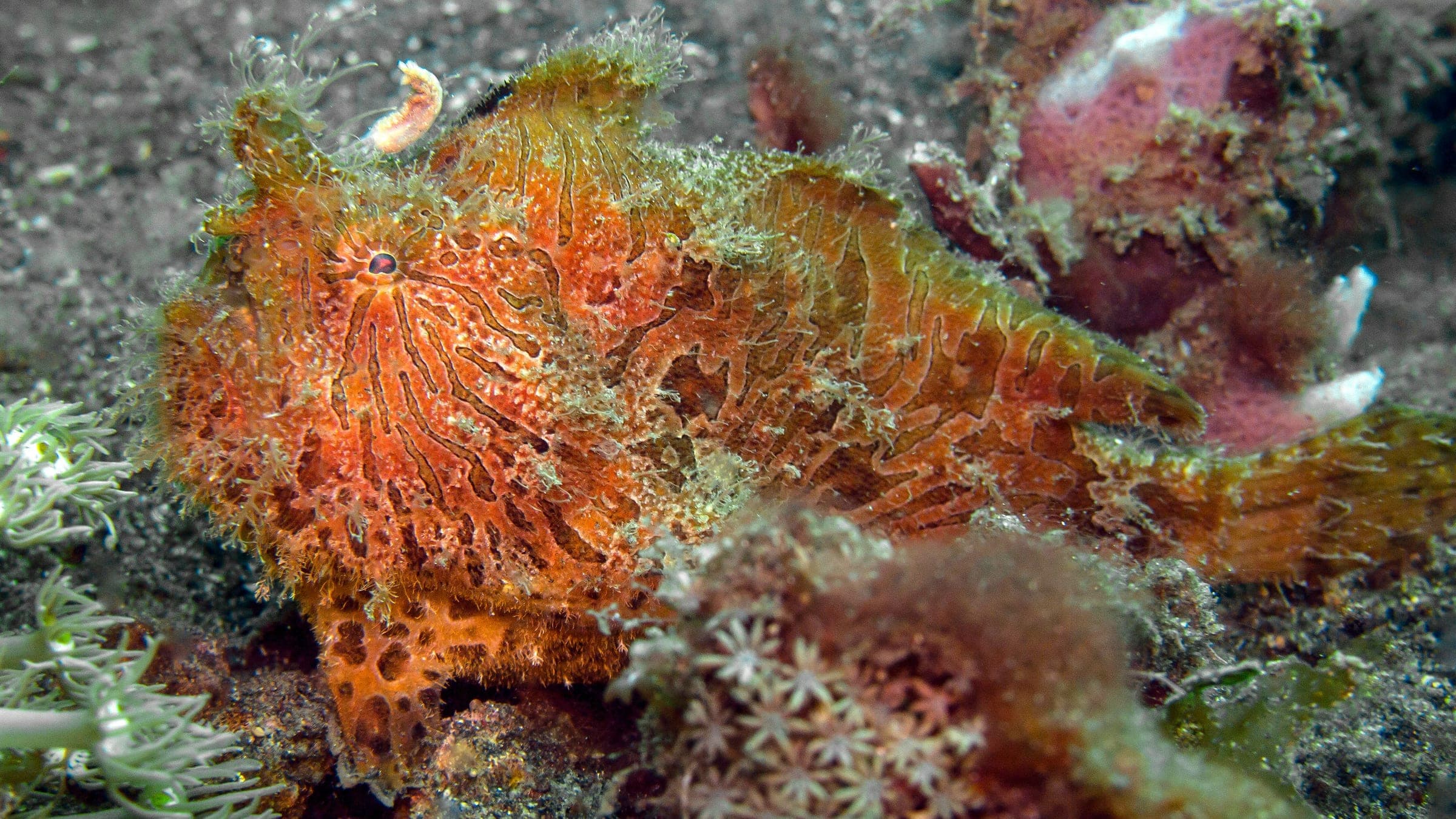
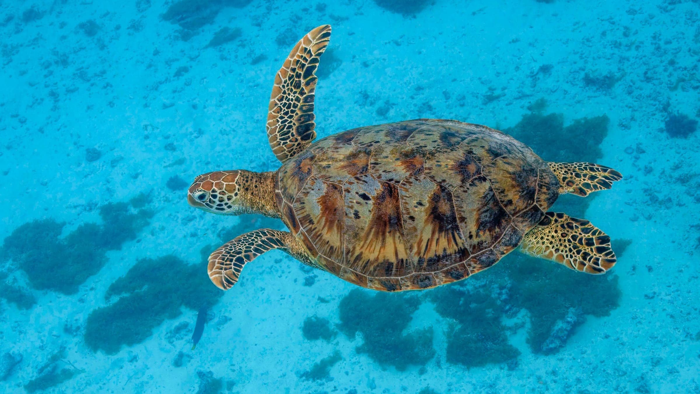
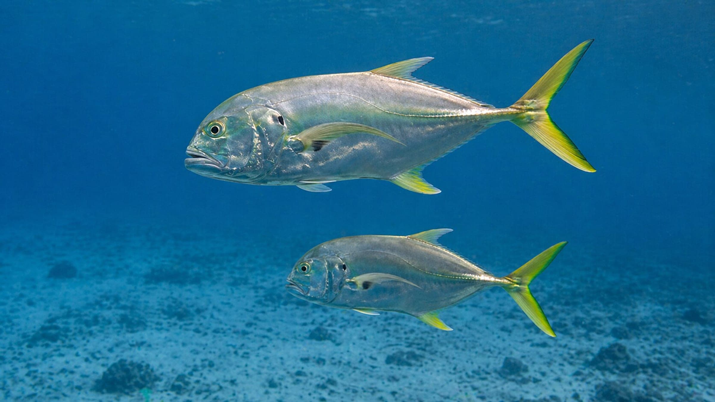
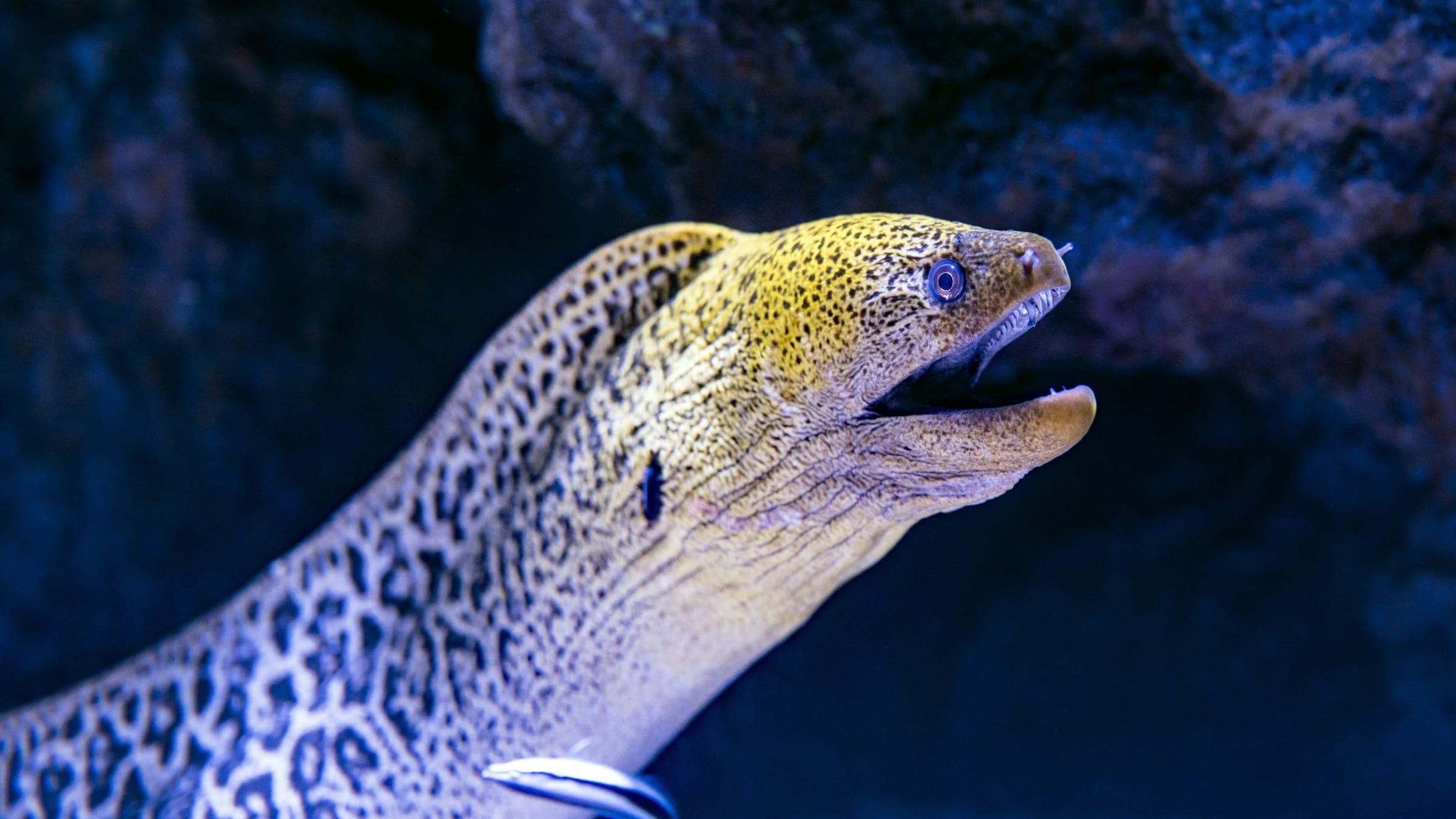
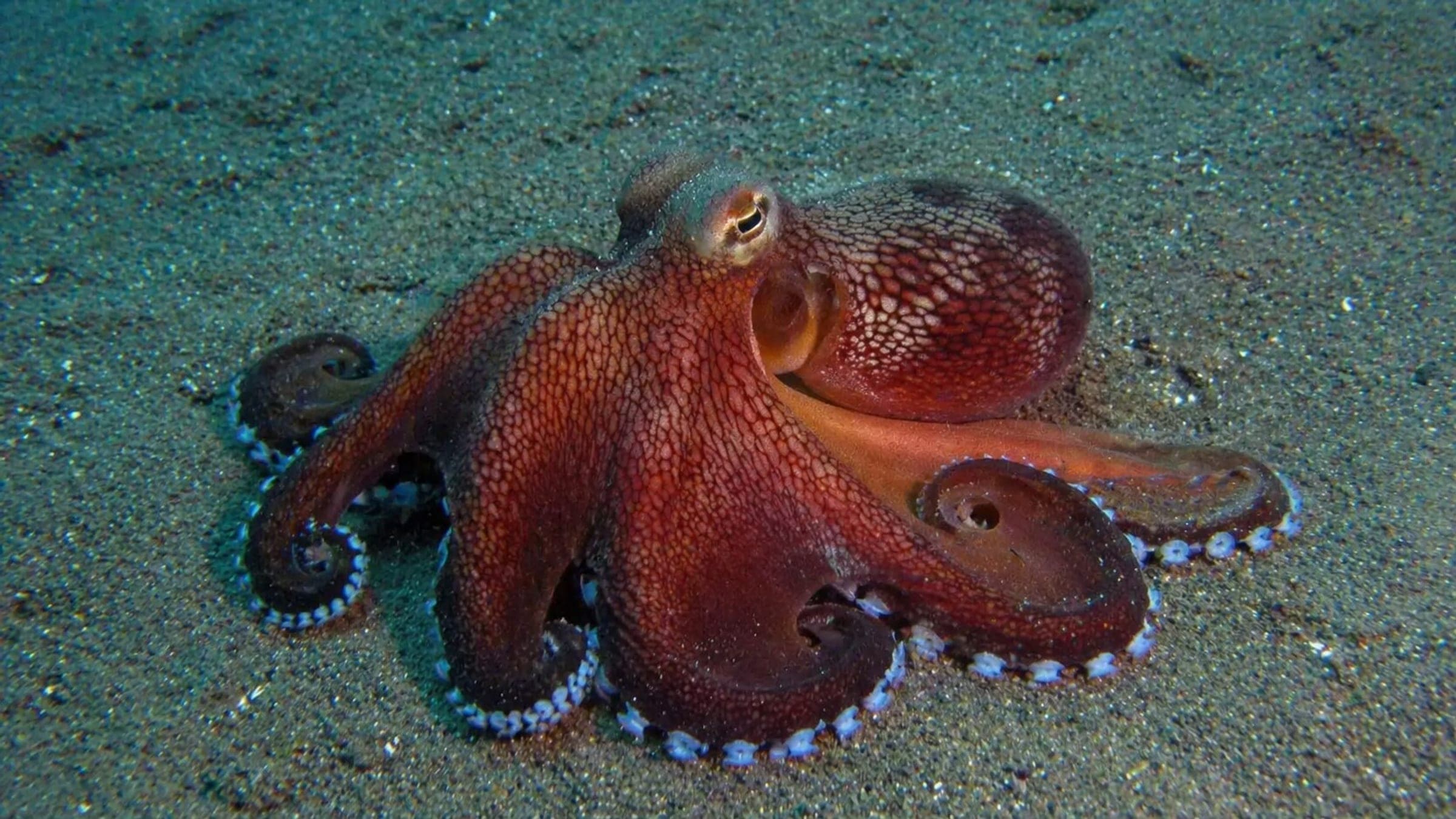
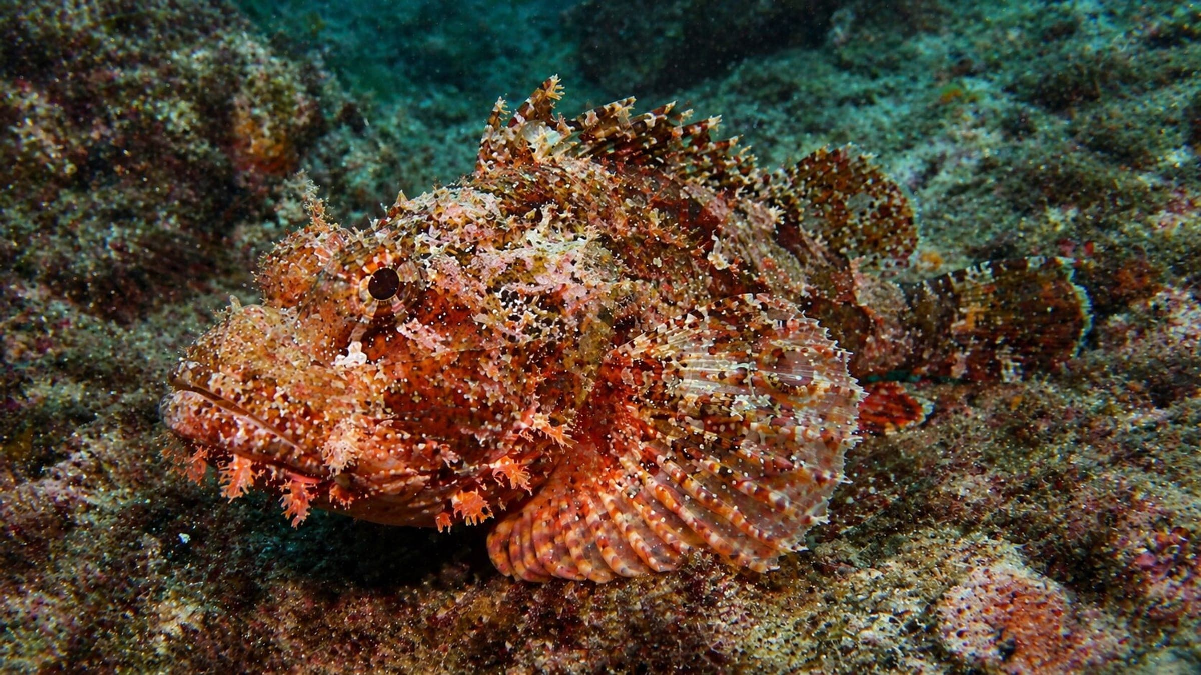
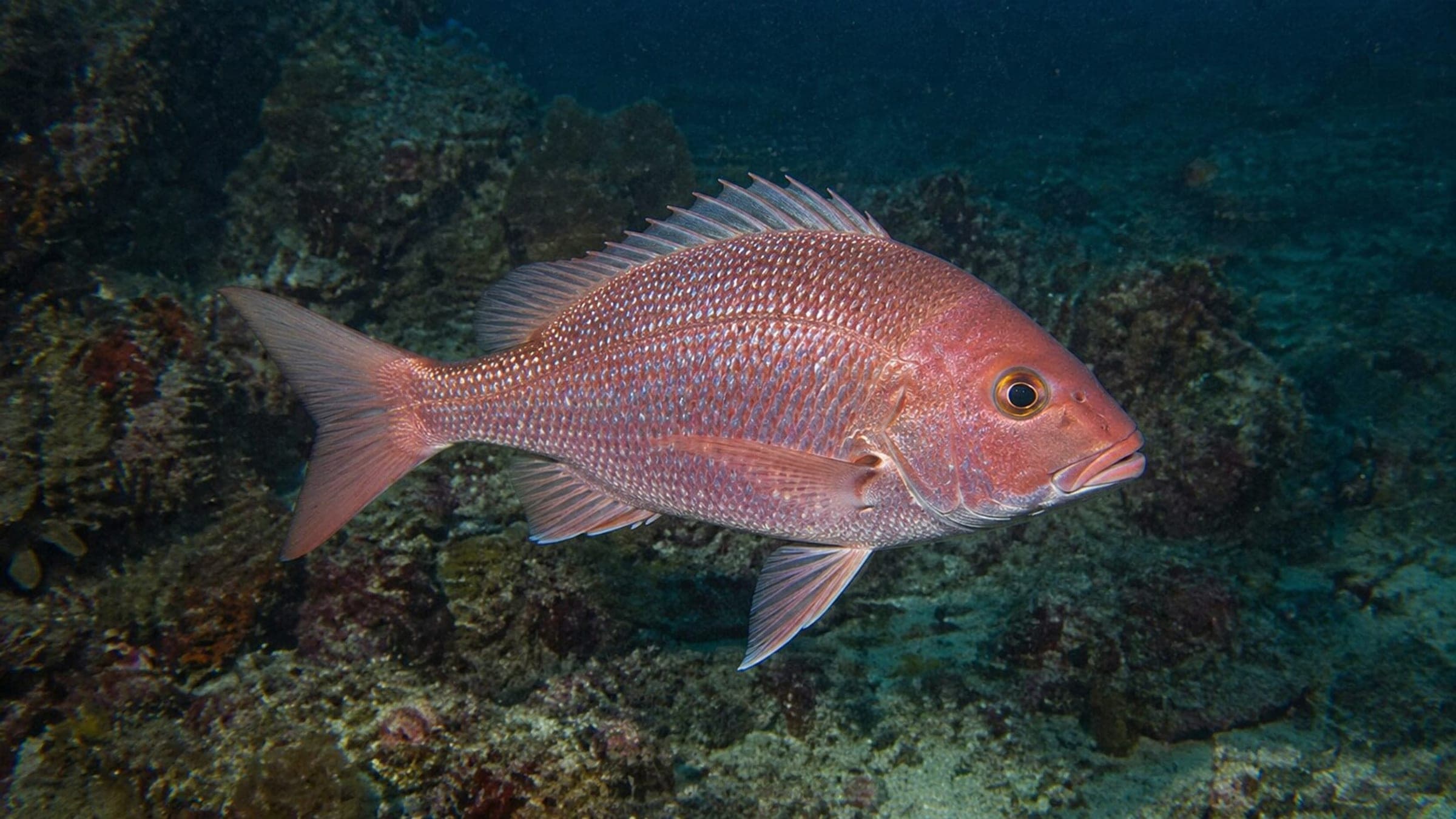
Isla Frijoles in Coiba National Park is a boat dive that loops the island with the current, tracing a sandy and gravelly bottom around reefy boulders. Sharks are common, and the fish life often includes jacks, snappers, barracuda, turtles, and smaller reef surprises such as frogfish, scorpionfish, morays, and octopus.
Conservative baseline from public research. No community dives logged yet.
Depth range, seasonality, and planning context.
Reported Depth
10m - 25m
Depth Note
The anchor-line start is around 10 m, with the option to stay shallower or follow the sand-and-gravel edge to deeper reef beyond 25 m.
Best Season
December to April
Typical Conditions
The route can swing from calm to river-like current, so the guide may choose clockwise or counterclockwise travel around the island. Expect a sand-and-gravel run broken up by boulder reef and livelier fish on the open-ocean side.
Hazards, restrictions, and access requirements.
Key Hazards
Safety Notes
Direction of travel varies with the current; plan the circuit accordingly. Sharks are commonly encountered.
Access Restrictions
Boat access only; park permissions and trip logistics are typically handled through licensed operators.
Legal Notes
Coiba National Park is a protected marine heritage area, so local park rules and permit controls apply on the water.
Community notes to help plan your visit.
Scuba Diving
Best for boat divers comfortable with current-shaped routing. The dive usually starts on the anchor line, then works as a loop around the island over sand, gravel, and reefy boulders.
Use the planner to scan this week, inspect today in local time, and understand how exposure shapes conditions at Isla Frijoles.
Directional shelter context for incoming swell.
Species commonly reported at this site, with direct links into their wildlife guides.
Community dive logs and visit reports for this site.
No Dive Logs Yet
Be the first to log a dive at this spot and share your experience!
Average conditions based on logged dives & visits.
Planning answers for access, conditions, timing, and site logistics.
Last Updated
Research Sources
Exact Frijoles description, route shape, depth range, current variation, and species list.
Protected marine heritage context and legal/status background for Coiba National Park.
Boat access, licensed operators, and permit-controlled park entry.
Know this site? Improve Spot Details.

Coiba reef cluster around Isla Rancheria.
Boat-access reef with sandy lanes and lively fish
Frijoles: boat-only Coiba reef of boulders and fish
Boat-access Coiba reef with sharks and reef life