discover.webtenerife.com · Official Tourism
Shore access, 20m max depth, no current, low difficulty.
Shore dive off Garachico’s pier with volcanic terrain and easy access.
Save it, log a dive, or explore nearby on the map.
Save it to come back later
Dive site off a pier in Garachico with volcanic rock formations, small valleys, overhangs, sandy patches, and concrete blocks that create varied shelter and terrain. The sheltered shore entry makes it a practical dive in calm conditions, with a mix of structure that suits relaxed exploration and close buoyancy control.
Conservative baseline from public research. No community dives logged yet.
Depth range, seasonality, and planning context.
Reported Depth
0m - 20m
Depth Note
Shallow near the entry, then stepping down across volcanic ledges and sandy patches into the main section.
Best Season
Year-round, with the calmest dives during settled weather.
Typical Conditions
Volcanic ledges, shallow structure, overhangs, and sandy patches beside the pier, with the most comfortable dives coming in calm sea states.
Hazards, restrictions, and access requirements.
Key Hazards
Safety Notes
Overhangs create overhead pockets, so keep buoyancy stable and plan exits before the swell picks up.
Access Restrictions
Use the shore entry only when swell and harbor movement are light enough for a clean exit.
Legal Notes
Treat the pier and harbor frontage as an active waterfront and follow local access rules.
Community notes to help plan your visit.
Scuba Diving
Best enjoyed as a slow, buoyancy-aware shore scuba dive that rewards time in the volcanic structure.
Freediving
Possible only on the shallow perimeter in very calm water; the overhangs and structure make it less ideal for routine freediving.
Snorkeling
Confident snorkelers may enjoy the shallow edge in calm conditions, but the site is mainly better for scuba.
Use the planner to scan this week, inspect today in local time, and understand how exposure shapes conditions at Bahía de Garachico.
Directional shelter context for incoming swell.
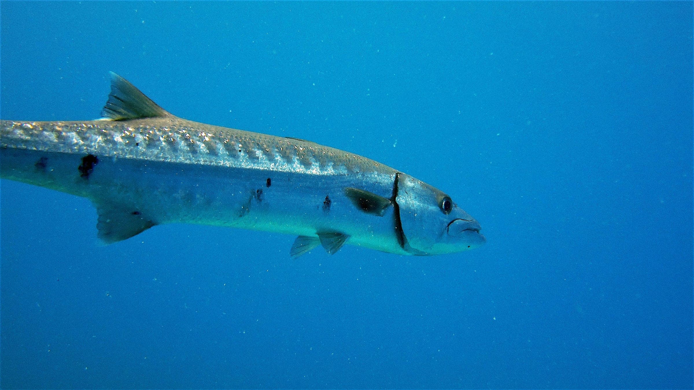
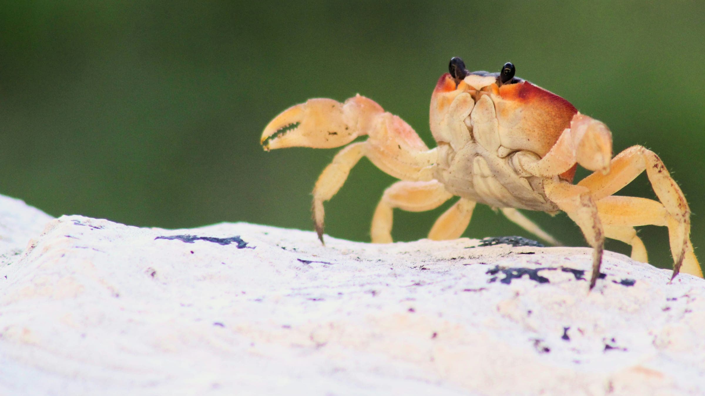
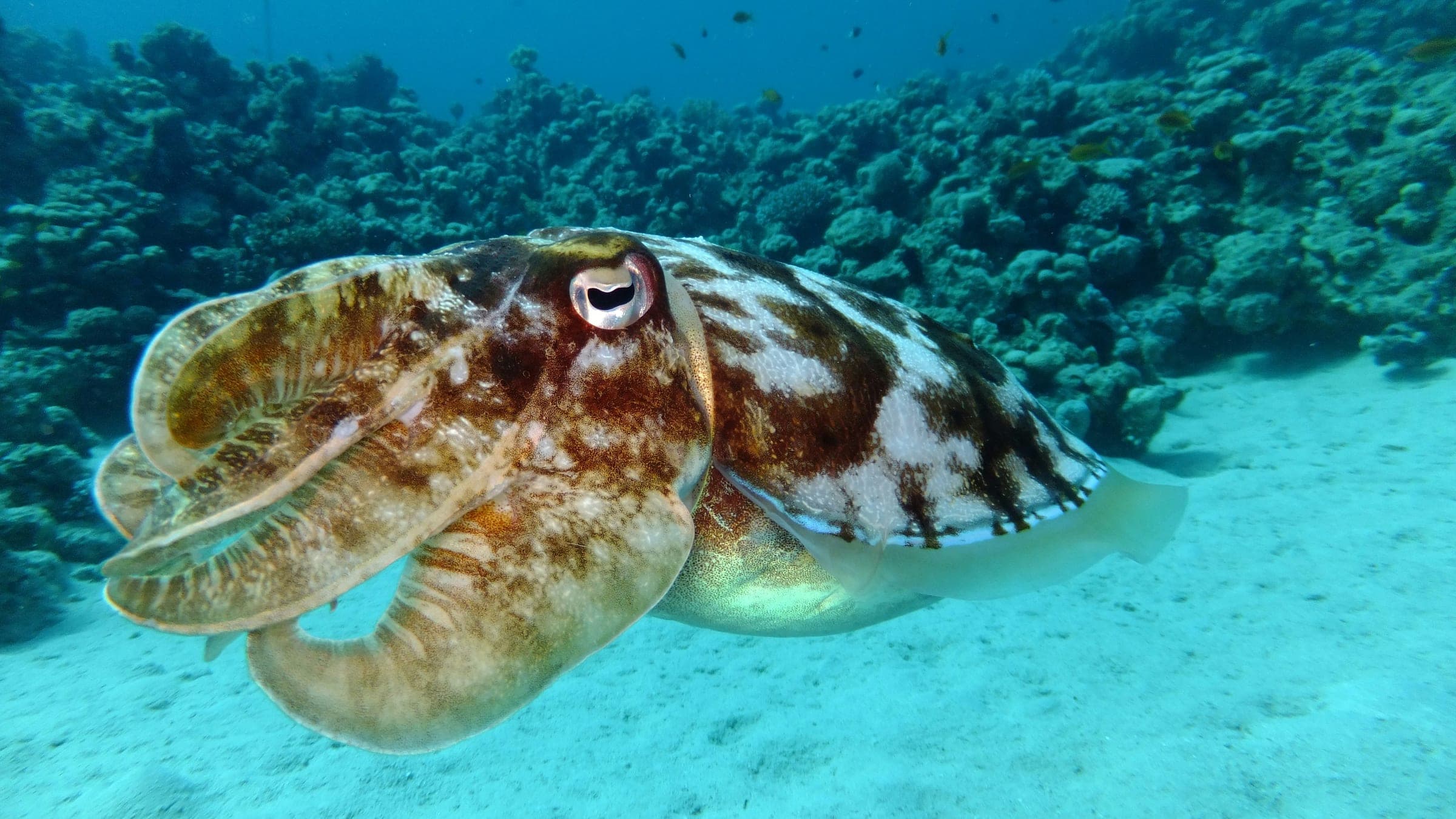
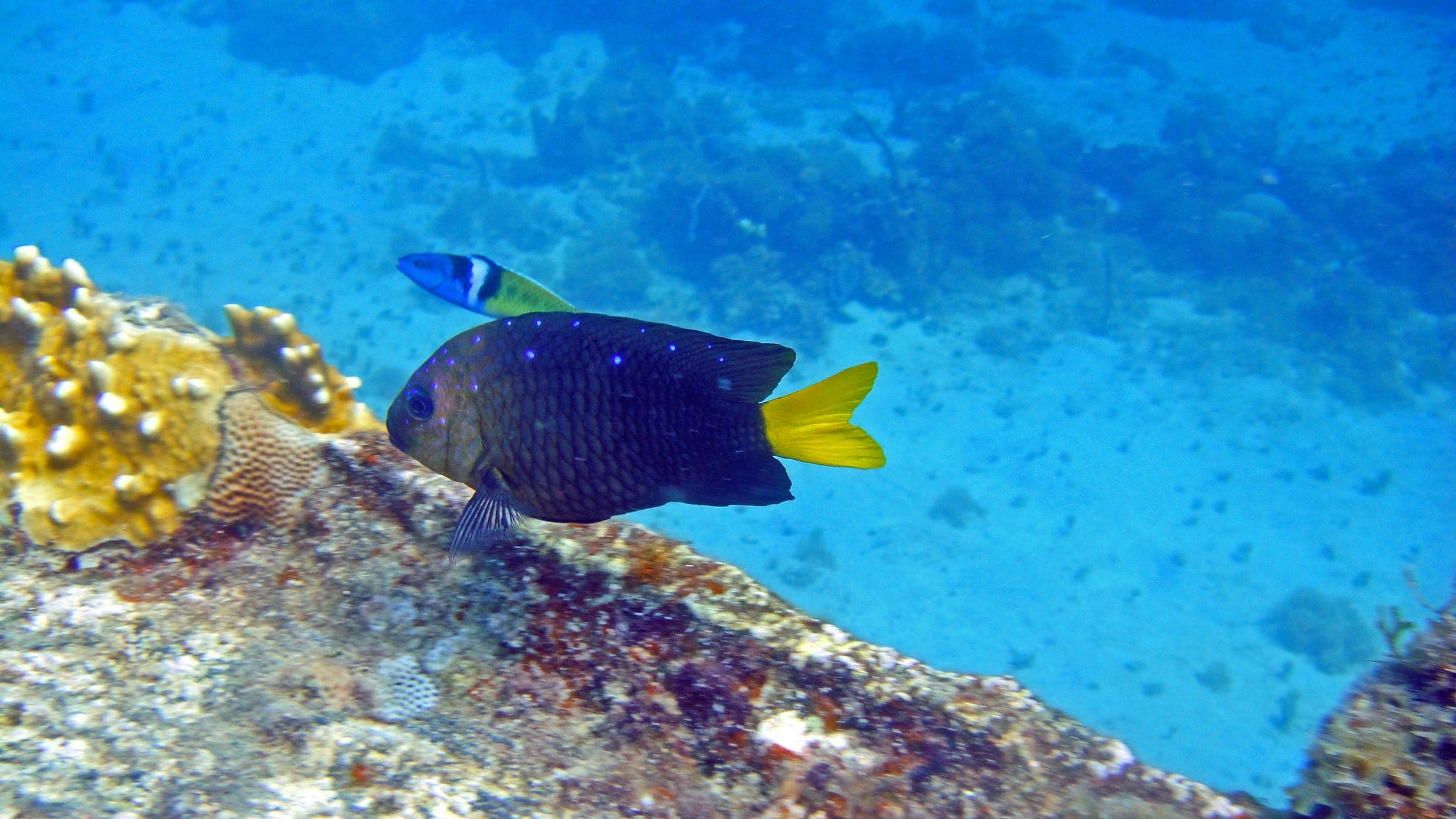
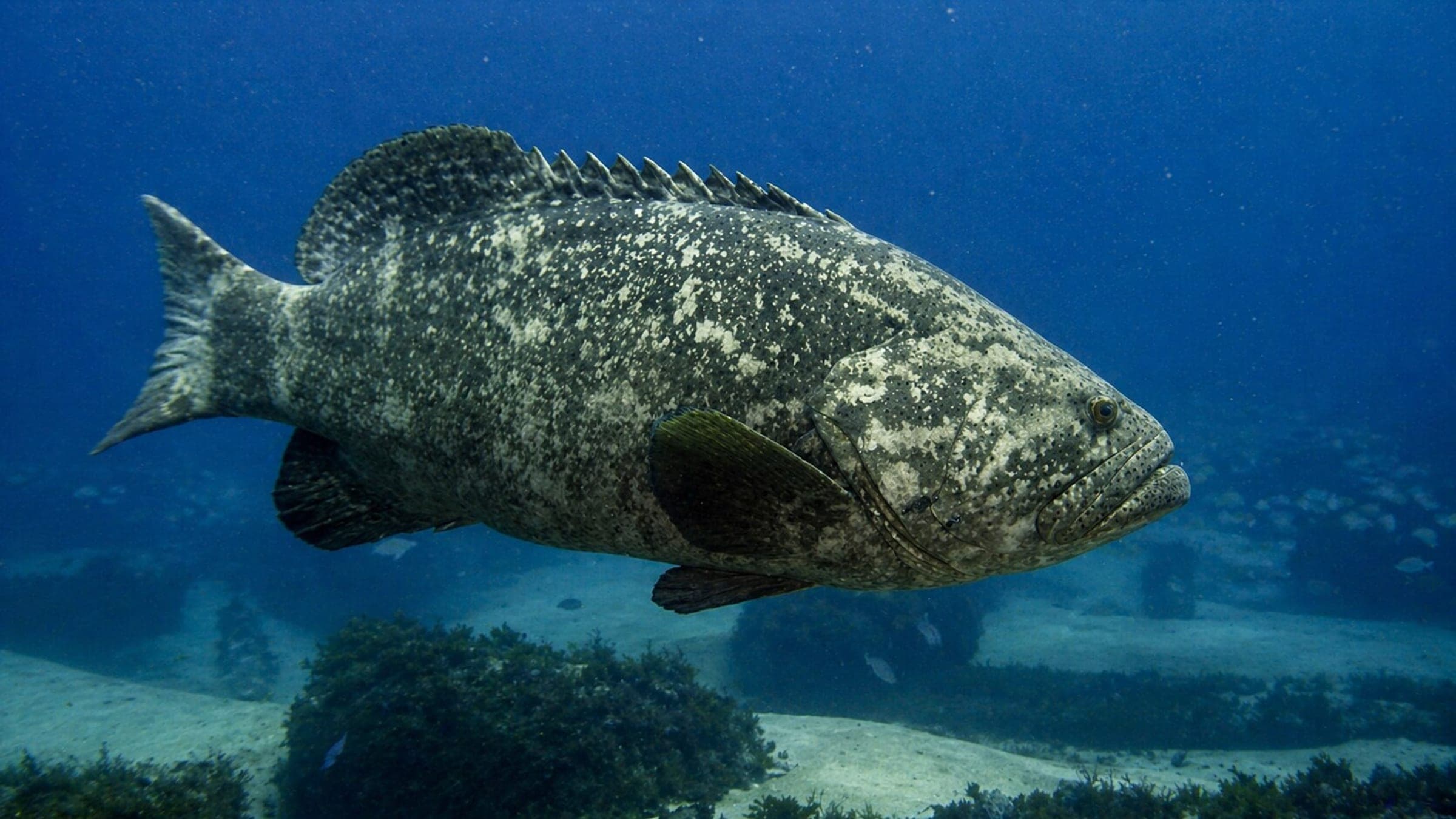
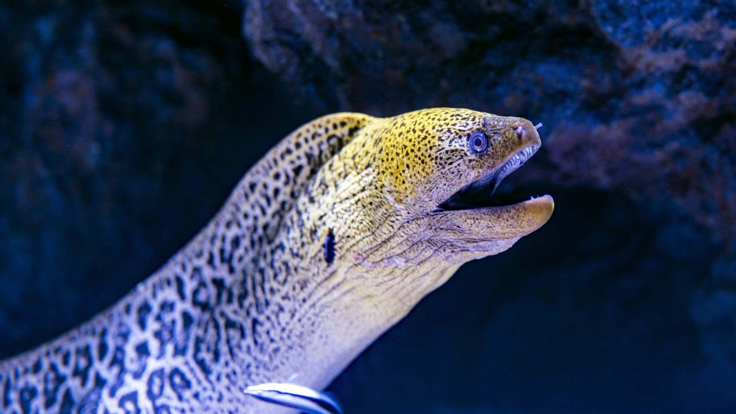
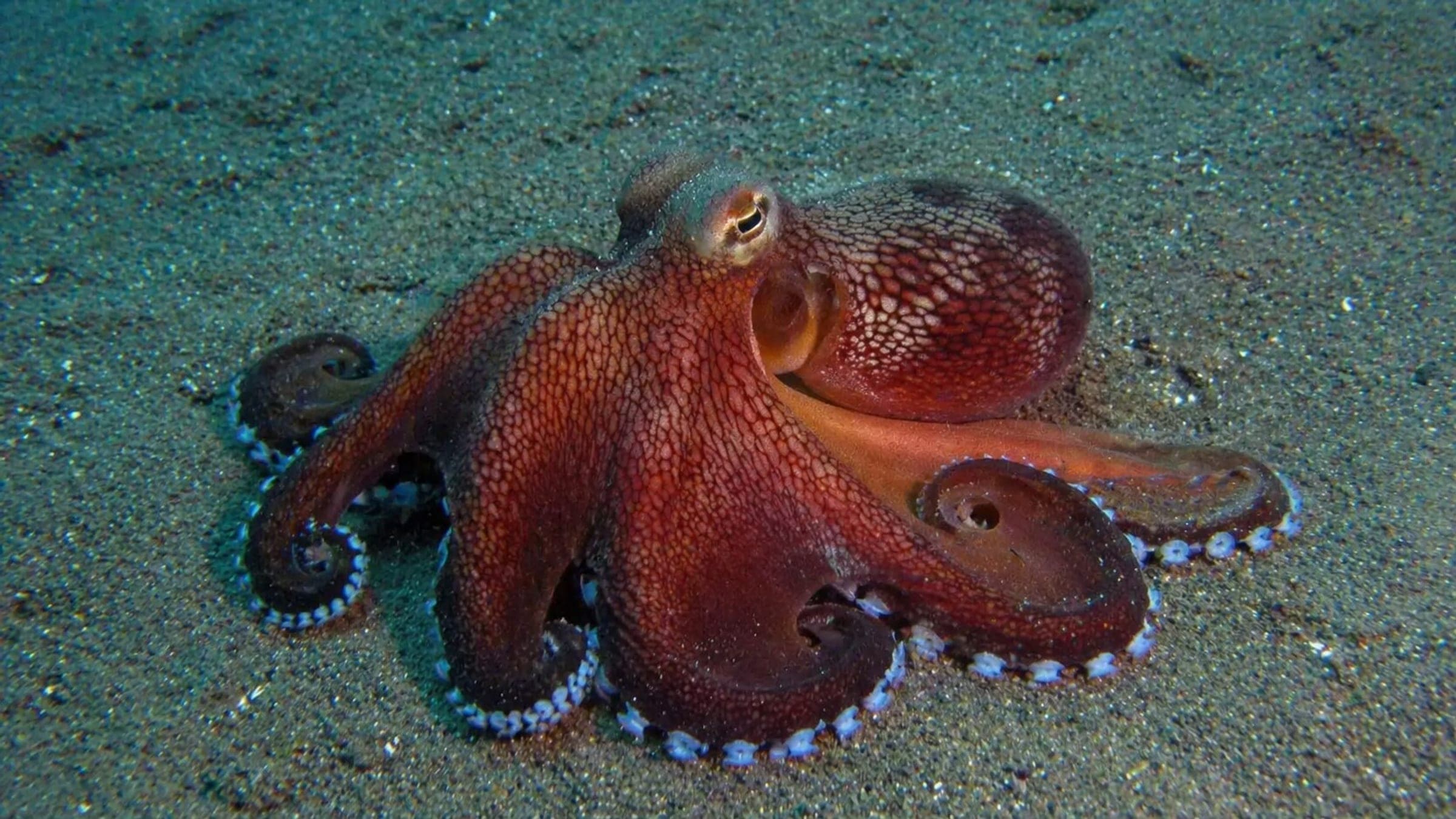
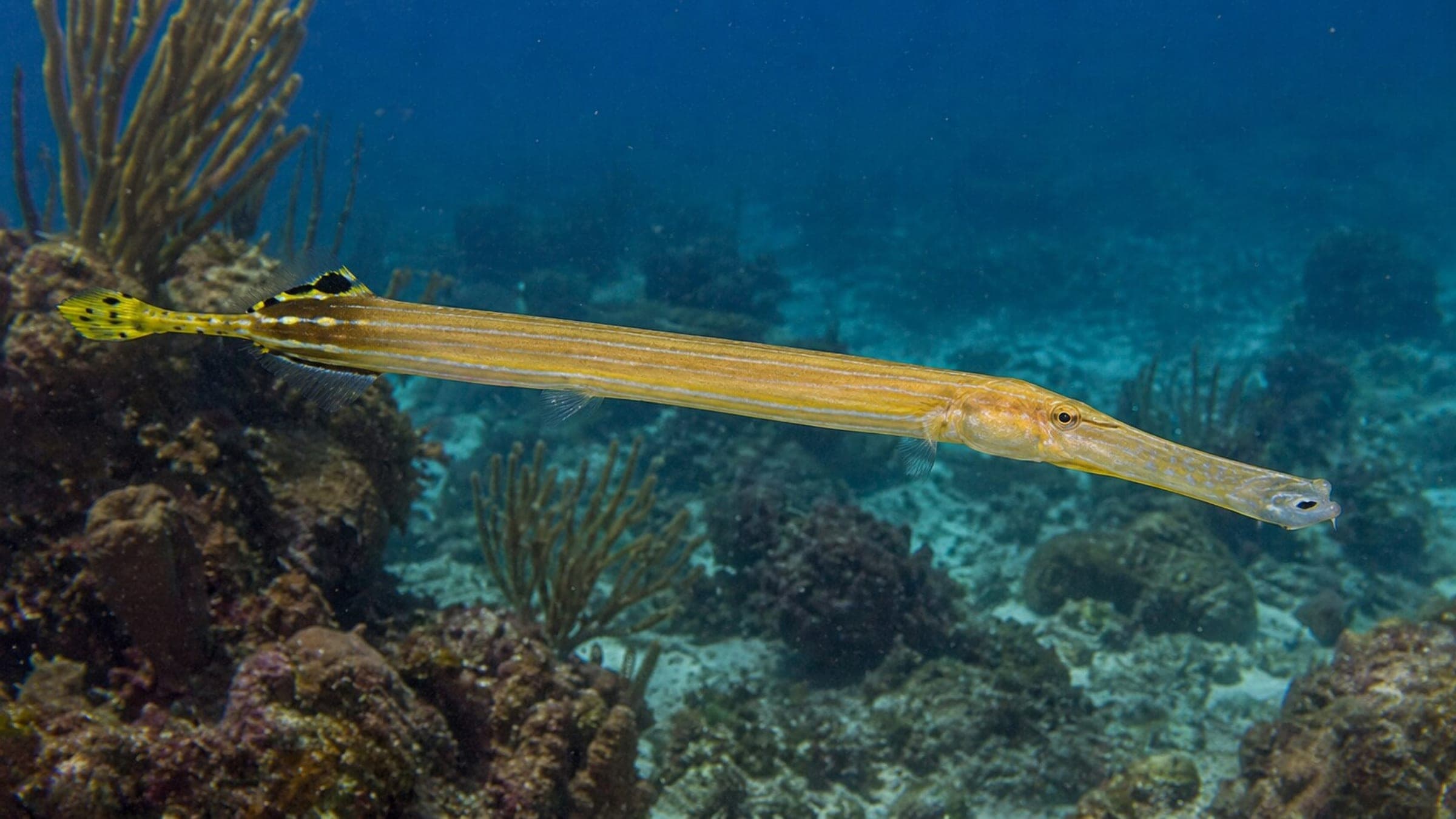
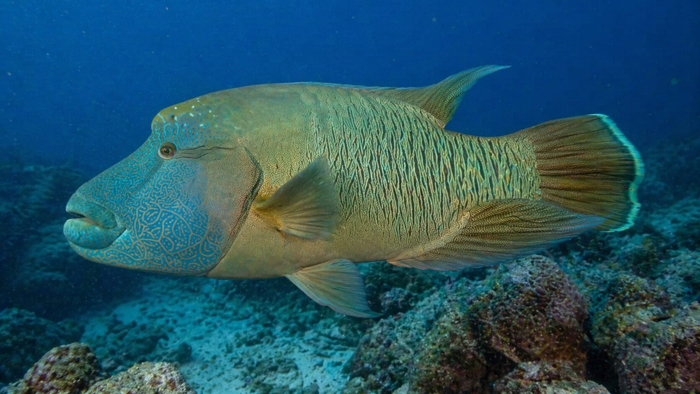
Species commonly reported at this site, with direct links into their wildlife guides.
Community dive logs and visit reports for this site.
No Dive Logs Yet
Be the first to log a dive at this spot and share your experience!
Average conditions based on logged dives & visits.
Planning answers for access, conditions, timing, and site logistics.
Last Updated
Research Sources
Shore access, 20m max depth, no current, low difficulty.
Historic harbor site with marine life notes and around-25m visibility.
Breakwater and ladder entries with shore access and safer exits.
Volcanic structure, sandy areas, and a broader species list.
Know this site? Improve Spot Details.

Advanced volcanic tunnel dive off Garachico
El Coral de Garachico: deep wall with red coral.
Sheltered north-Tenerife shore dive with lava scenery.
Exposed Tenerife reef with a serious drop-off