www.buceodonosti.com · Operator
Center homepage showing staffed boat support and guided outings.
Sheltered Pasaia port-mouth boat dive with slabs, anchors, and rich marine life.
Save it, log a dive, or explore nearby on the map.
Save it to come back later
The site is described from the embarkation point and is normally handled as a guided boat dive.
El Seno is a sheltered Pasaia port-mouth boat dive built around rock slabs, an anchor field, and the remains of old shipping traffic. Divers move along a protected inlet edge rather than a wide-open coast, which keeps the outing controlled and scenic while still offering a strong mix of marine life and archaeological interest. It rewards careful buoyancy, a measured pace, and time spent looking into cracks and under slabs.
Conservative baseline from public research. No community dives logged yet.
Depth range, seasonality, and planning context.
Reported Depth
10m - 25m
Depth Note
Rock slabs run from the port entrance to sand about 25 m deep; the anchoring point sits around 10-12 m and the south route reaches 20-22 m canyons.
Best Season
year-round
Typical Conditions
Sheltered inlet conditions, rock slabs, an anchor zone, and a broad protected area that can take more than one dive to see fully.
Hazards, restrictions, and access requirements.
Key Hazards
Safety Notes
Use the boat route and stay within the planned dive area, keep buoyancy tight around slabs and remains, and watch the port entrance for traffic.
Access Restrictions
Boat access through the port entrance and dive-center handling are the normal path; treat the site as a managed dive rather than a casual shore entry.
Legal Notes
Follow local harbor and dive-center procedures and avoid interfering with port navigation or the archaeological remains.
Community notes to help plan your visit.
Scuba Diving
This is a guided boat dive that rewards slow passes over slabs, anchors, cannons, and the north/south routes through the site.
Freediving
Not a natural freedive target because the site is a managed boat dive with deeper sections and a port-mouth setting.
Snorkeling
Snorkeling is not the right fit; the interesting structure sits at scuba depths.
Use the planner to scan this week, inspect today in local time, and understand how exposure shapes conditions at El Seno.
Directional shelter context for incoming swell.
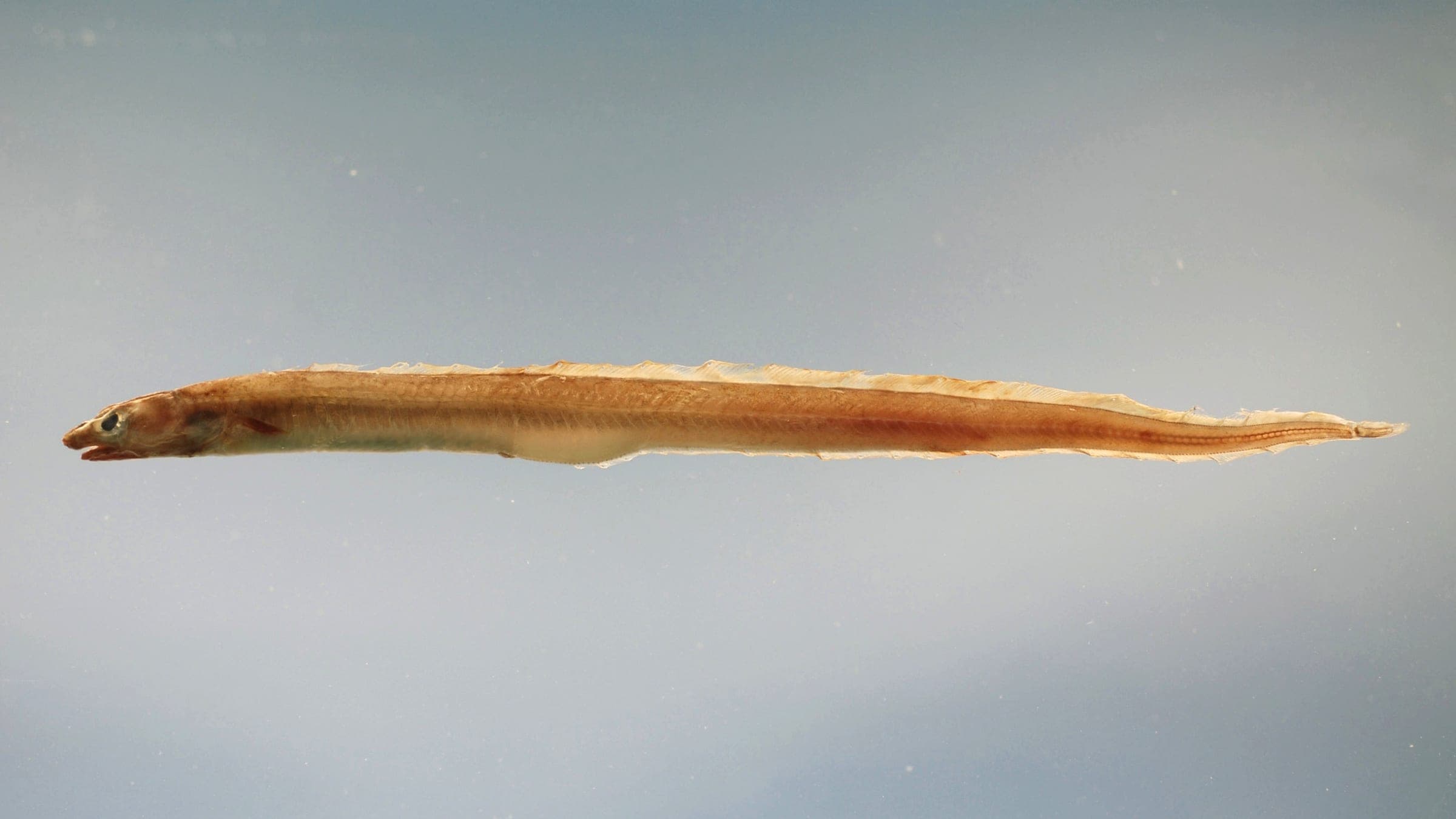
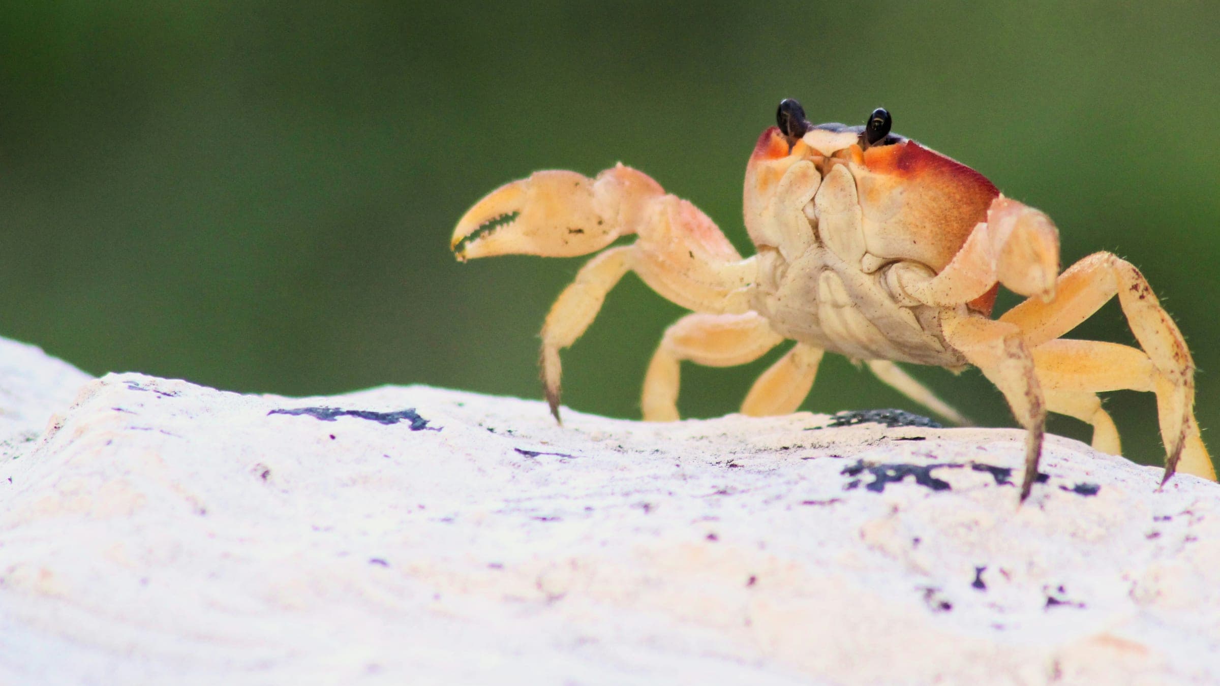
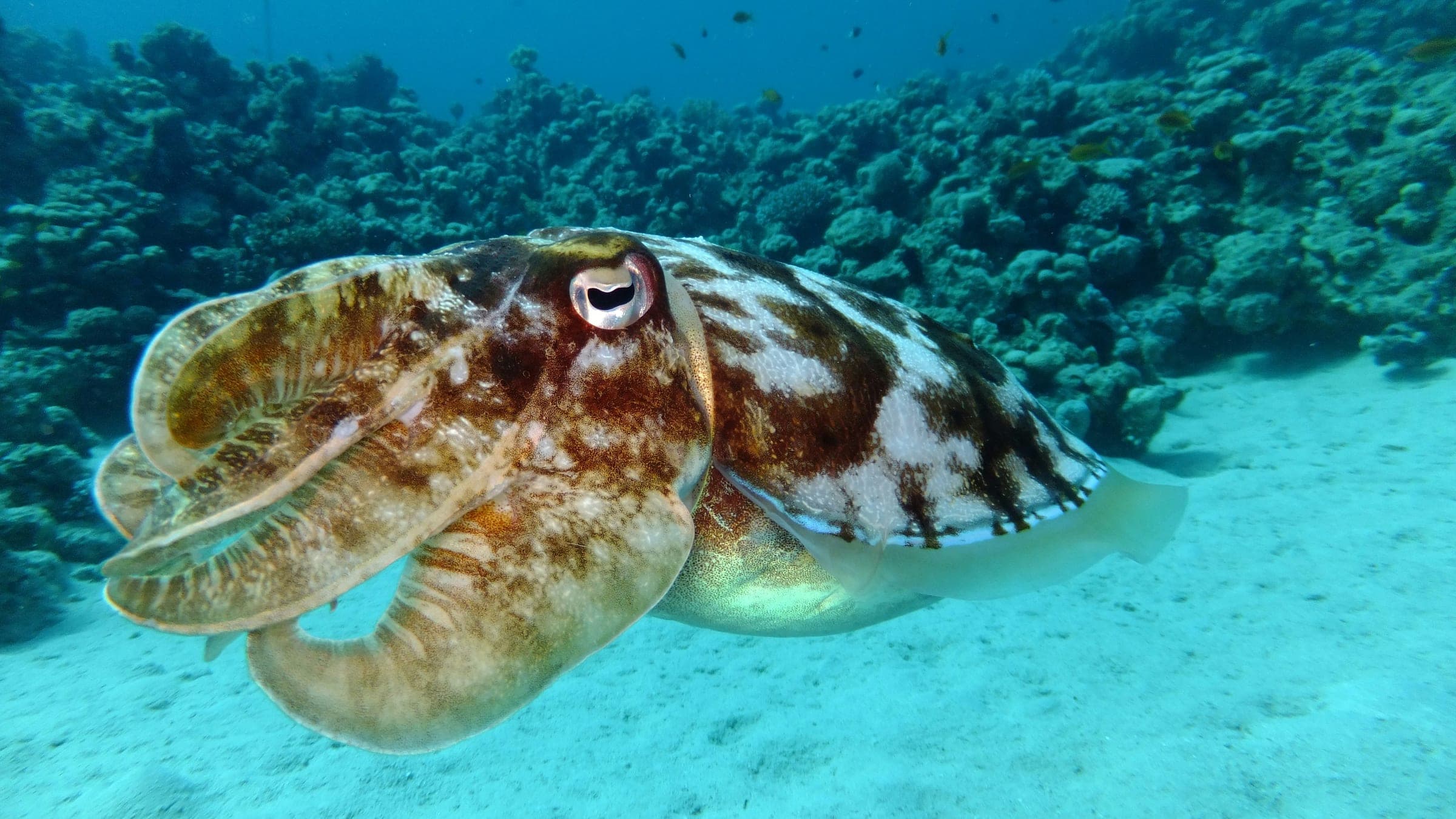
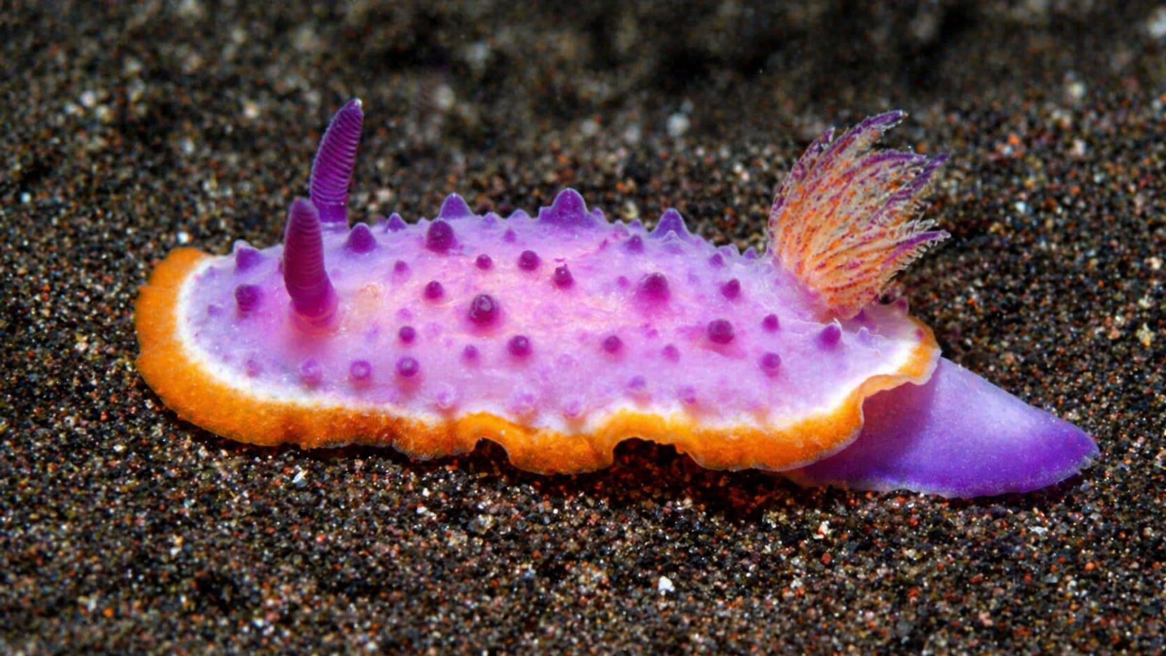
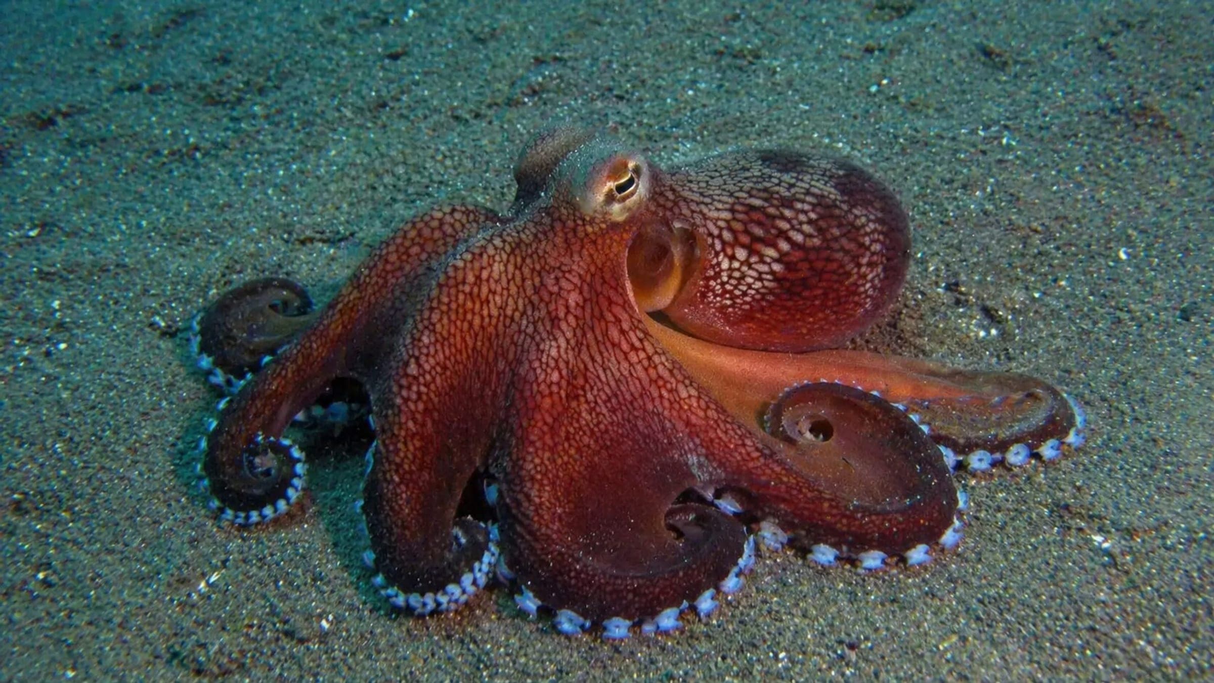
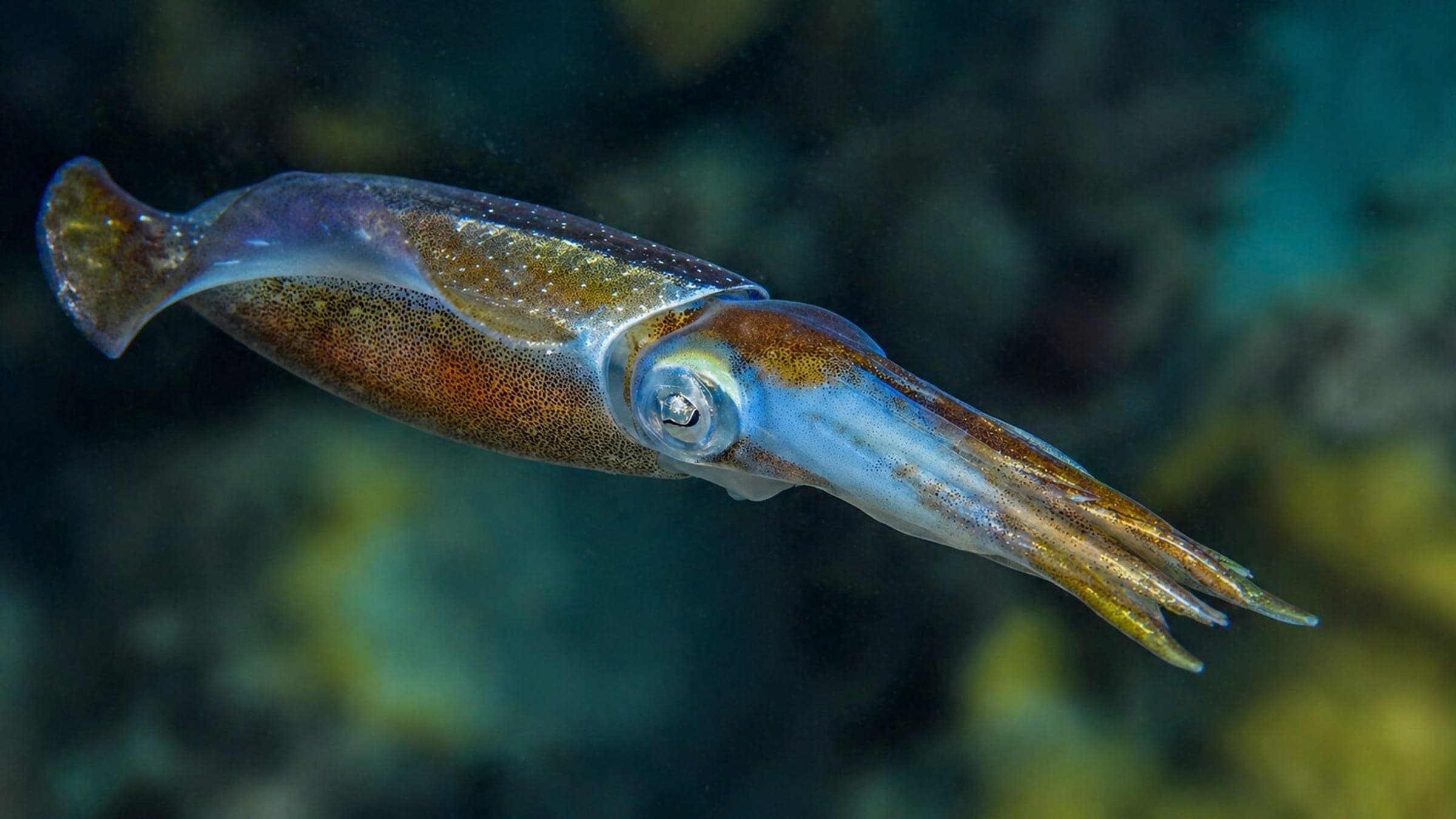
Species commonly reported at this site, with direct links into their wildlife guides.
Community dive logs and visit reports for this site.
No Dive Logs Yet
Be the first to log a dive at this spot and share your experience!
Average conditions based on logged dives & visits.
Planning answers for access, conditions, timing, and site logistics.
Last Updated
Research Sources
Center homepage showing staffed boat support and guided outings.
Know this site? Improve Spot Details.

Cañonero el Tajo: boat wreck-and-wall dive at Pasaia.
Port-entrance ridge dive with an underwater tower marker.
La Redonda is a rocky Cantabrian boat dive with a cave and cargo remains.
Shallow ridge dive with a tunnel and abundant small life.
Boat-access wall dive with rocky structure and varied life.
Sheltered cove dive with sand, rock, and wreck remnants.