
ecodive.ca · Operator
Operator charter page showing the site as an advanced 75-foot dive.
Mille Roche Power House: boat-only river wreck
Save it, log a dive, or explore nearby on the map.
Save it to come back later
Mille Roche Power House is a submerged St. Lawrence River power-house site east of Cornwall, where the flooded structure, gates and remaining machinery create a serious freshwater wreck dive. It is a boat-accessed dive for experienced divers who want current, structure and a real sense of the Lost Villages history rather than a casual sightseeing stop.
Conservative baseline from public research. No community dives logged yet.
Depth range, seasonality, and planning context.
Reported Depth
11m - 23m
Depth Note
The site is reported at about 35-75 ft, with intact mechanisms and turbines still in place.
Best Season
Late spring through early fall, with colder-water gear needed outside the warmer months.
Typical Conditions
Boat-accessed freshwater power-house site with submerged gates, turbines and canal remnants, plus current that can strengthen outside the sheltered sections.
Hazards, restrictions, and access requirements.
Key Hazards
Safety Notes
Advanced-diver only; bring a torch, stay conservative around dark recesses, and plan for current before you commit to the site.
Access Restrictions
Accessible only by boat and not recommended for penetration unless you have the right training and a conservative plan.
Legal Notes
No special permit is called out in the public listings; follow local boat-launch, mooring and river-navigation rules.
Community notes to help plan your visit.
Scuba Diving
Advanced river dive with submerged industrial structure, dark cut-throughs and current management that rewards disciplined buoyancy.
Freediving
Not a freedive site; the depth, current and structure make it a scuba-only plan.
Snorkeling
Not suited to casual snorkeling because the meaningful features are deep and current-exposed.
Use the planner to scan this week, inspect today in local time, and understand how exposure shapes conditions at Mille Roche Power House.
Directional shelter context for incoming swell.
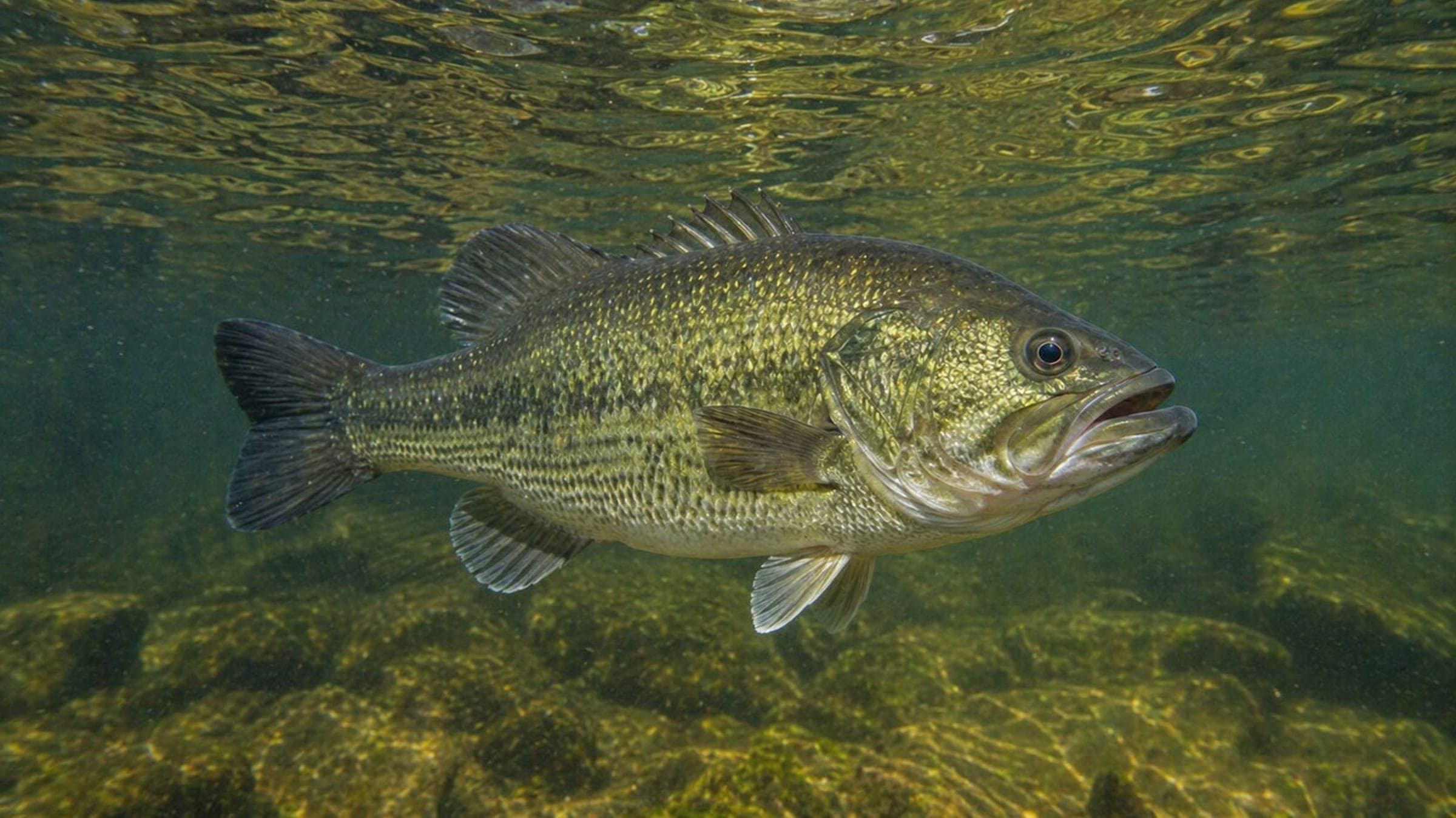
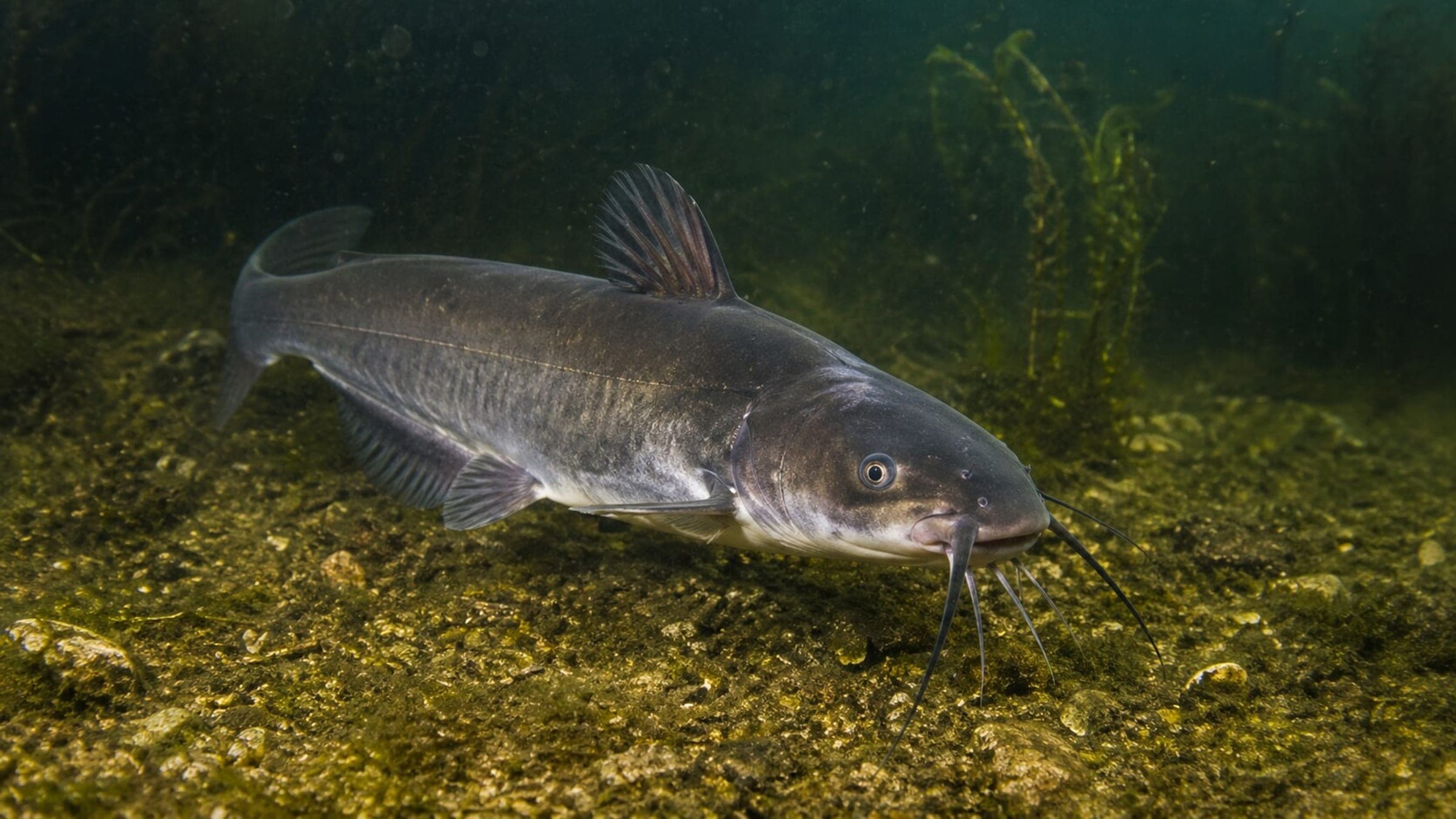
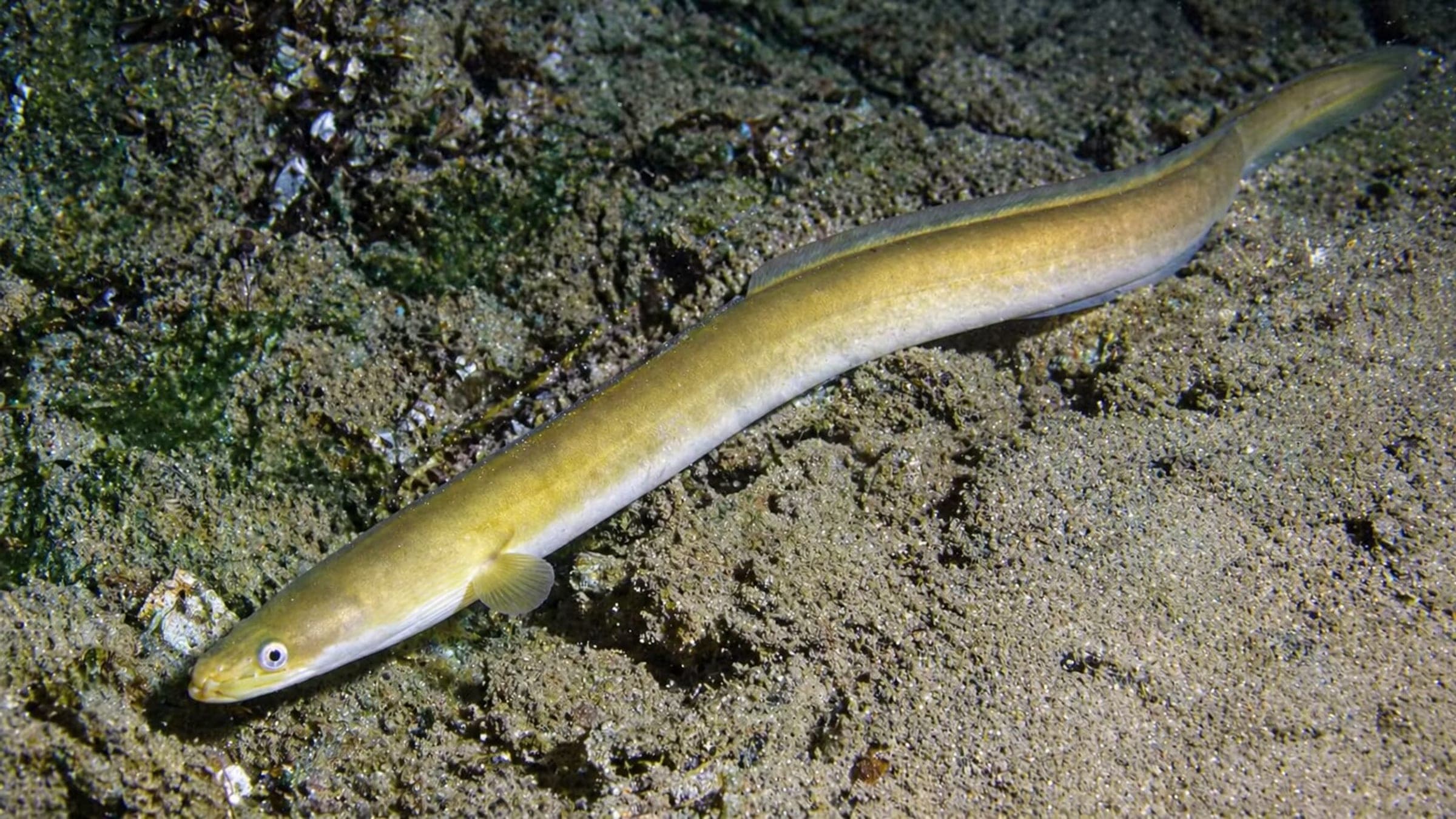
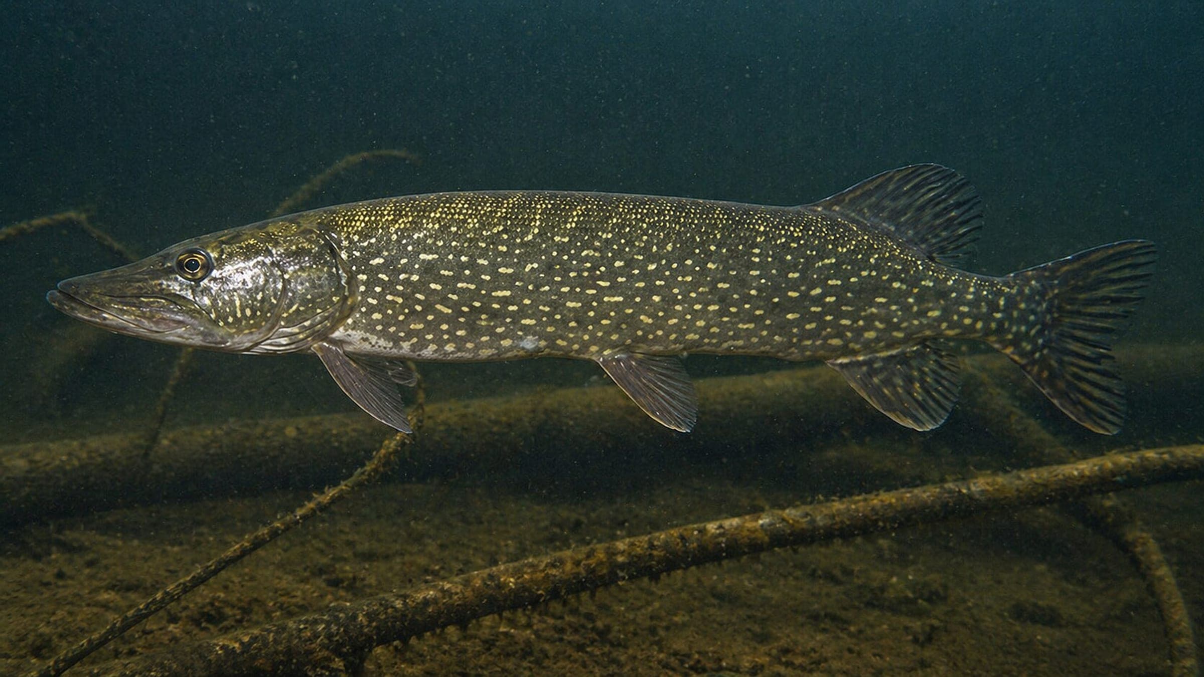
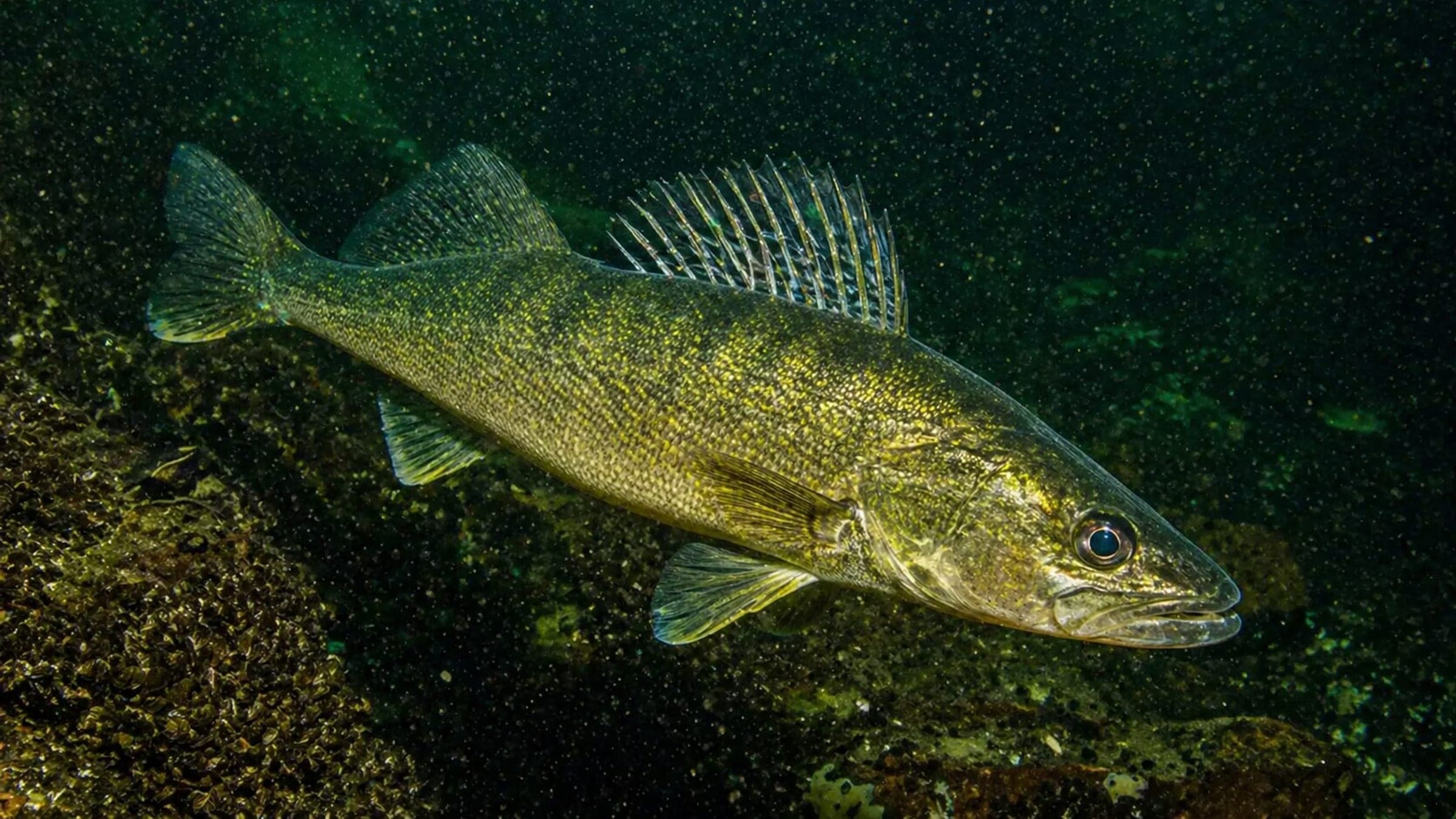
Species commonly reported at this site, with direct links into their wildlife guides.
Community dive logs and visit reports for this site.
No Dive Logs Yet
Be the first to log a dive at this spot and share your experience!
Average conditions based on logged dives & visits.
Planning answers for access, conditions, timing, and site logistics.
Last Updated
Research Sources
Operator charter page showing the site as an advanced 75-foot dive.
Site record with depth, current and penetration guidance.
Local operator page with boat-only access, buoy position, current and visibility notes.
Know this site? Improve Spot Details.

Lock 21 is a historic current dive on a submerged canal lock.
Morrisburg Beach Lock 23 is a shallow freshwater lock dive on the St. Lawrence.
Submerged 1958 Cornwall Canal lock with stone masonry chambers and weir.
Shallow freshwater canal dive near the anchor park.
Shallow freshwater wreck park on Lake Saint-Francois.
Conestoga is a shallow shore wreck on the St. Lawrence.