divingatkohtao.com · Travel Guide
Summarizes the 11-27m wreck profile, clean-up background, and marine-life colonization of the site.
Boat-access artificial-reef wreck with clear reference points.
A guided boat drop is the practical way to reach and manage the wreck.
HTMS Suphairin 313, Wreck is a boat-access wreck dive off Koh Tao where a recently sunk Royal Thai Navy attack ship rests on a clean, upright profile. The wreck gives divers straightforward reference points while they move around the structure, making it better for careful wreck control and open-water planning than for casual reef wandering.
Conservative baseline from public research. No community dives logged yet.
Depth range, seasonality, and planning context.
Reported Depth
11m - 26m
Depth Note
The wreck sits in approximately 26 m of water, with the mast around 11 m.
Best Season
Winter and the calmer shoulder months are usually best; March to May can also work well for beginners.
Typical Conditions
Warm-water wreck diving with seasonal visibility swings and busy boat traffic.
Hazards, restrictions, and access requirements.
Key Hazards
Safety Notes
As a wreck site, take care around confined spaces and potential snags on structure.
Access Restrictions
Boat access and wreck procedures are part of the normal setup.
Legal Notes
Follow guide briefing, keep buoyancy tight, and respect any wreck-site rules.
Community notes to help plan your visit.
Scuba Diving
The site ranges from about 11 m at the mast to roughly 26 m at the seabed.
Freediving
Not a freedive-first site; the wreck depth and structure make it a scuba-focused dive.
Snorkeling
Not a casual snorkel site; the wreck profile and boat setup make it a scuba-first stop.
Use the planner to scan this week, inspect today in local time, and understand how exposure shapes conditions at HTMS Suphairin 313, Wreck.
Directional shelter context for incoming swell.
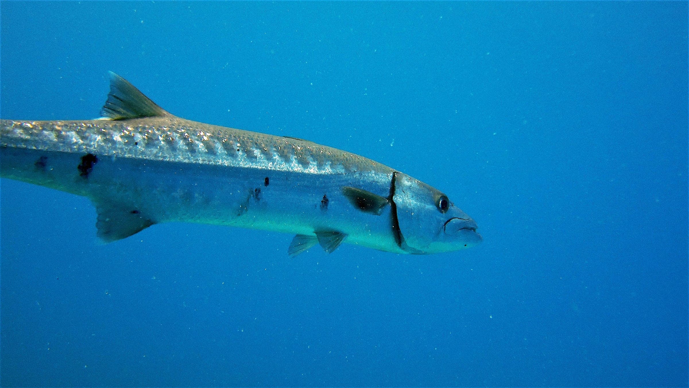
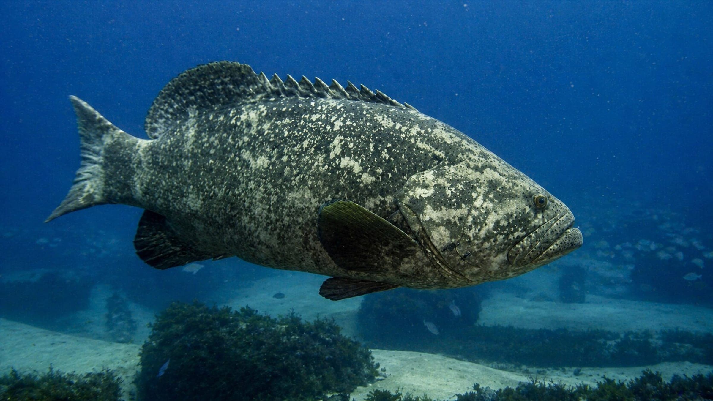
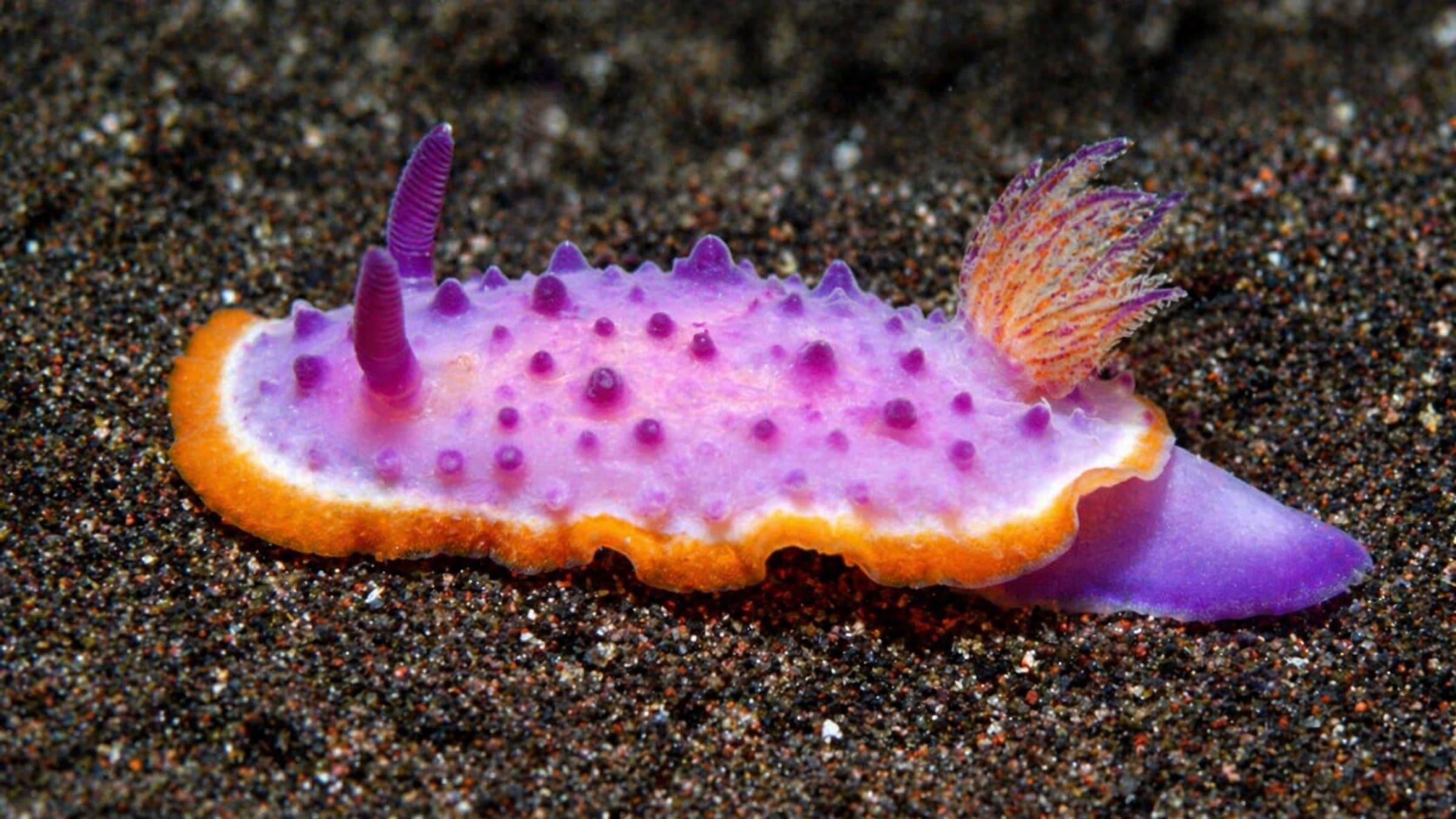
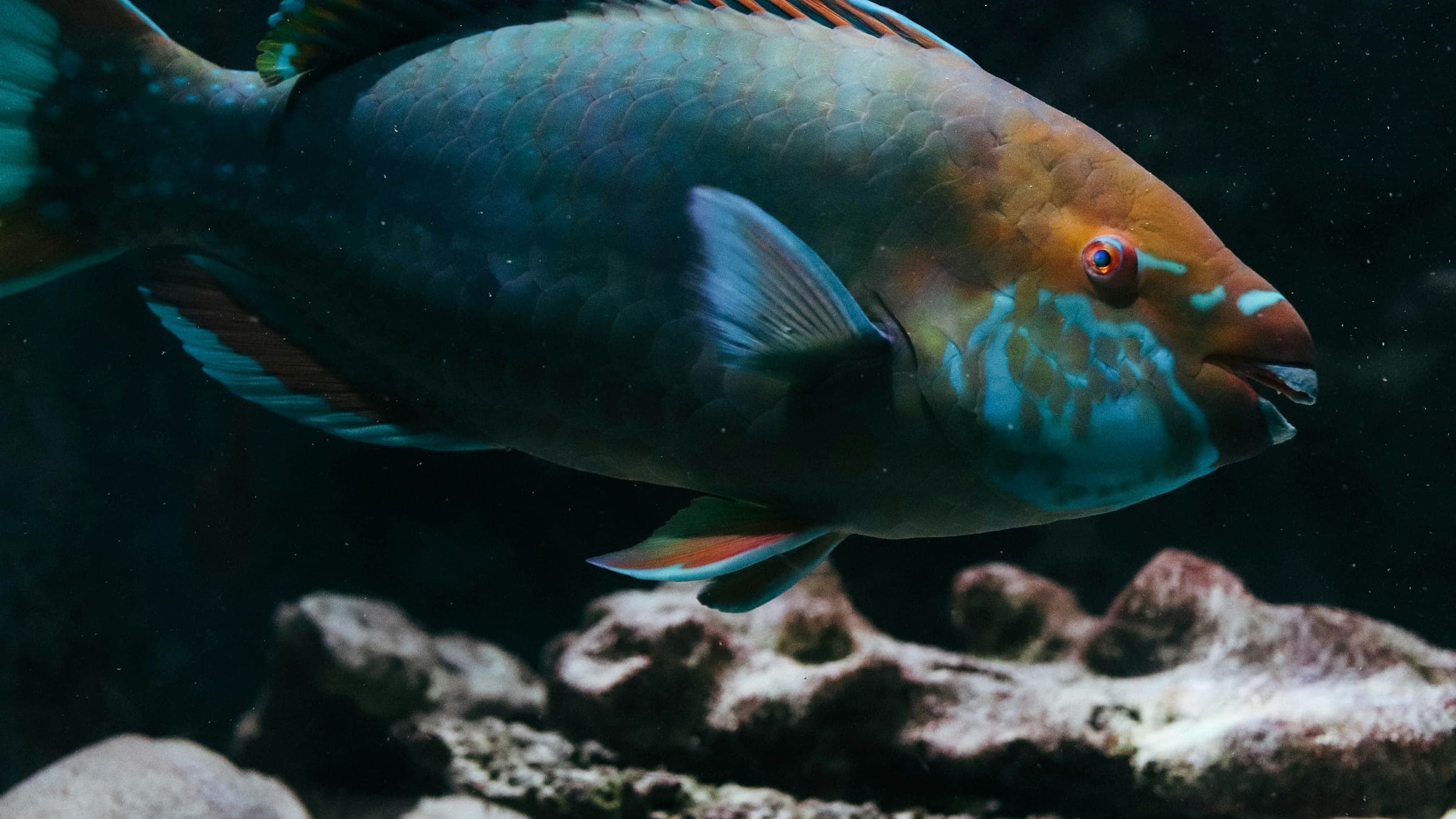
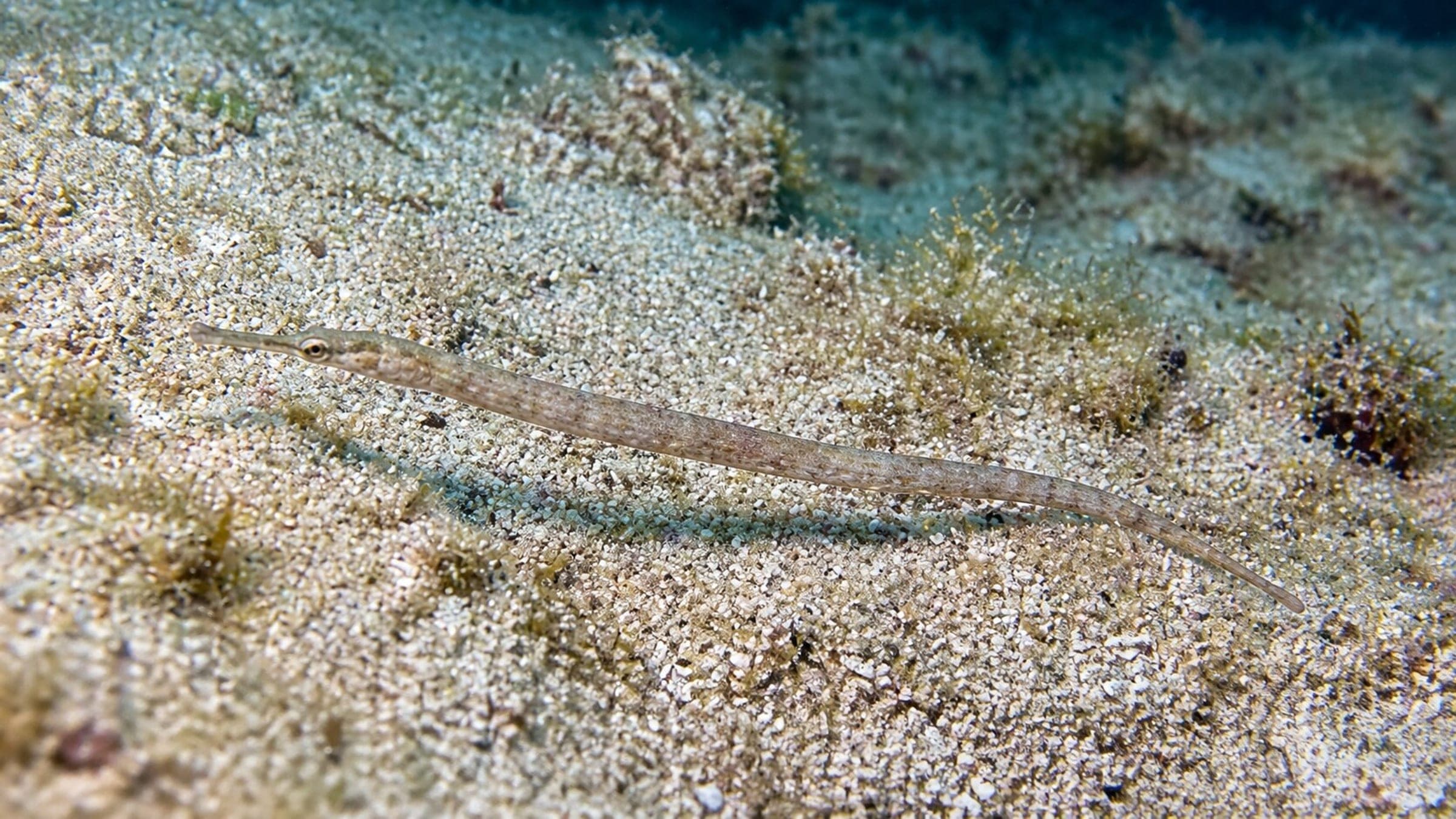
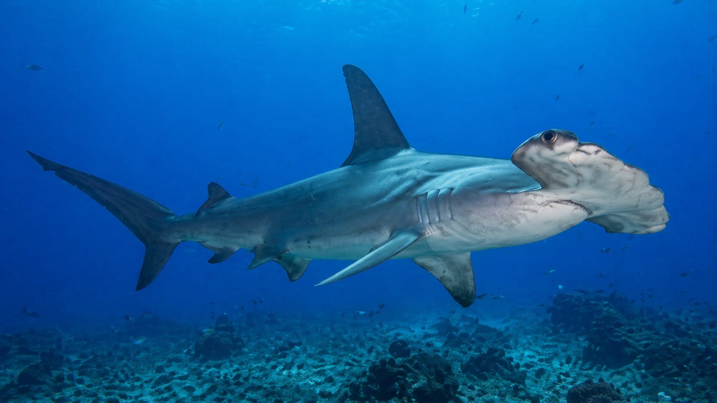
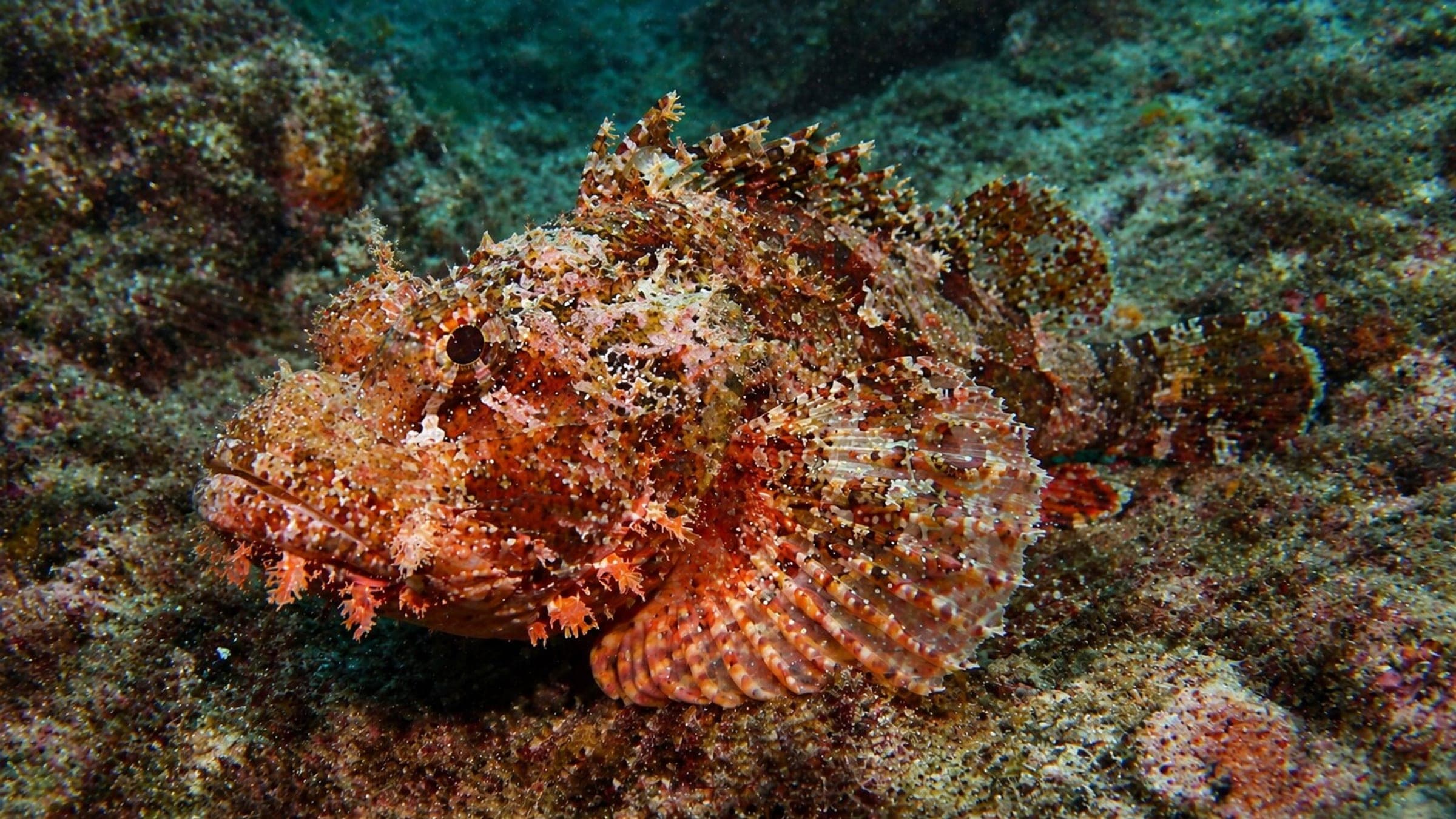
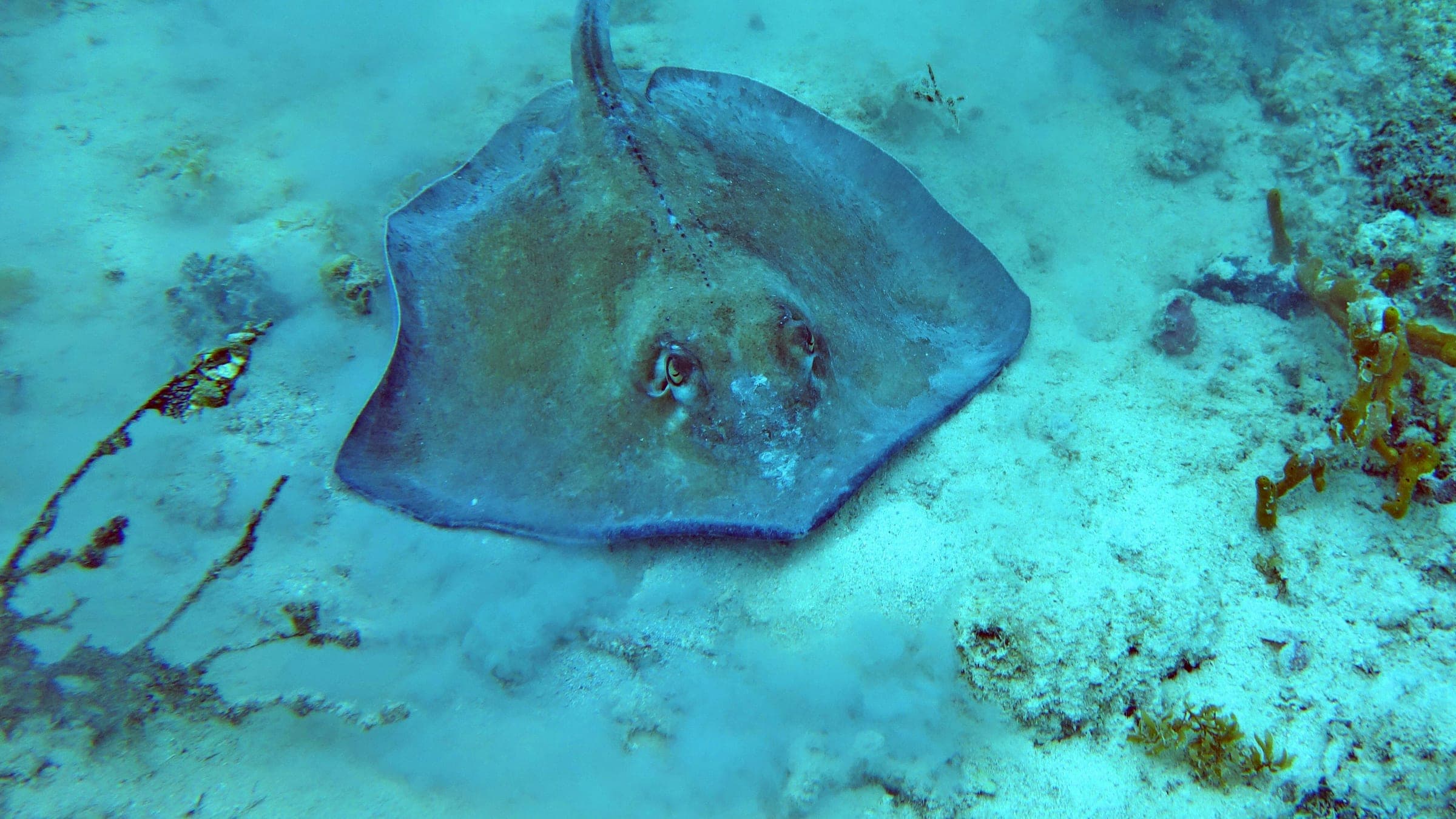
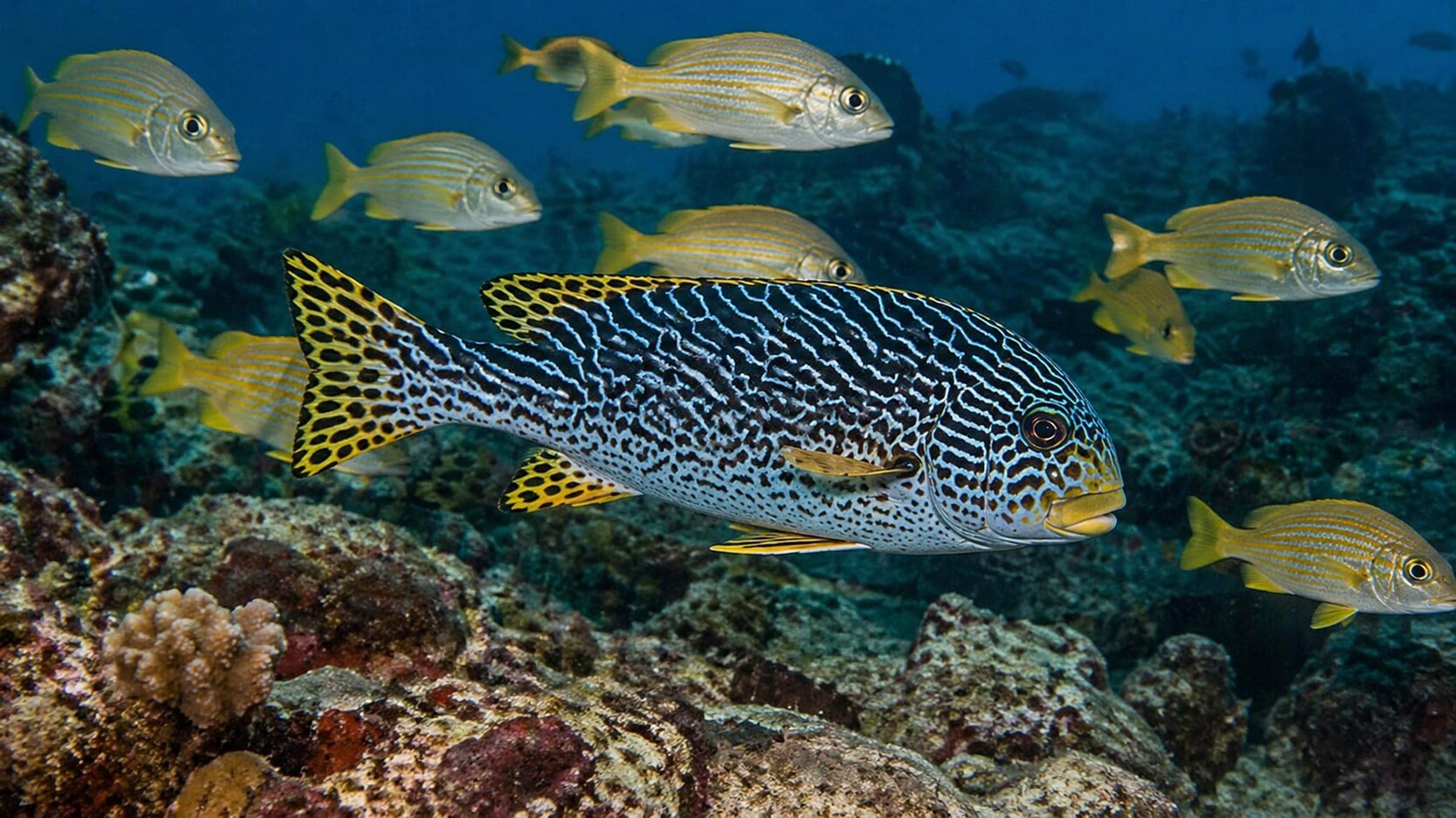
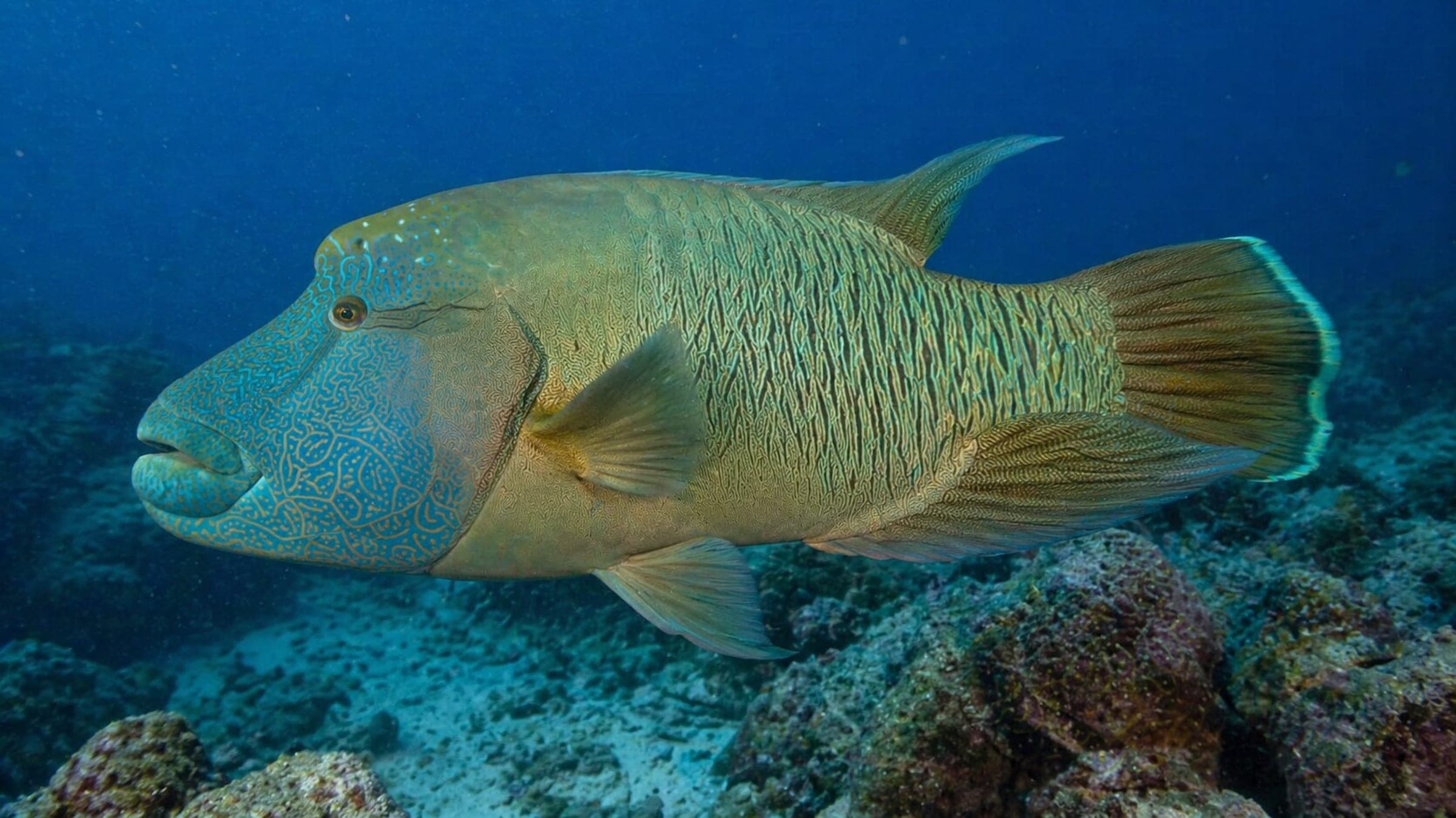
Species commonly reported at this site, with direct links into their wildlife guides.
Community dive logs and visit reports for this site.
No Dive Logs Yet
Be the first to log a dive at this spot and share your experience!
Average conditions based on logged dives & visits.
Planning answers for access, conditions, timing, and site logistics.
Last Updated
Research Sources
Summarizes the 11-27m wreck profile, clean-up background, and marine-life colonization of the site.
Describes the wreck as a newly sunk artificial reef and training site with barracuda, trevally, fusiliers, groupers, and nudibranchs.
Gives the 11-27m profile and frames the wreck as part of the underwater learning park and marine rehabilitation project.
Know this site? Improve Spot Details.

Deep Koh Tao pinnacle with granite drop-off and fish life.
Artificial-reef training site for buoyancy practice.
Boat-access twin-pinnacle reef dive off Koh Nang Yuan.
Shallow Koh Nang Yuan coral garden for easy dives and snorkeling.
Boat-access Koh Tao pinnacle with a swim-through cave.
Boat-access reef with twin pinnacles, coral gardens, and night-dive appeal.