When To Go Preview
Best overall window: May - September
Open Season Planner
Country Guide
Cold-water wrecks, kelp forests, and seal encounters across four coasts
Updated Dec 7, 2025 • 12 sources
Overview
The UK is where cold-water diving feels like exploration: kelp forests, seals, and a wreck legacy that ranges from shallow coastal steamers to the famous fleet of SMS Coeln, Scapa Flow. Plan by coast: the English Channel and South West bring reefs and sheltered bays; the North Sea leans into seals and dramatic walls; Wales offers rugged boat-and-shore options; Scotland adds big-animal potential and world-class historic wrecks. Expect water from 5°C to 18°C, fast tides, and visibility that swings from 2 m green to 15 m clear on the right day. Bring a drysuit mindset, a tide plan, and curiosity: you will surface with stories, not just logbook numbers.
From coastal steamers to Orkney's Scapa Flow fleet, the UK delivers big-history dives with real structure and atmosphere.
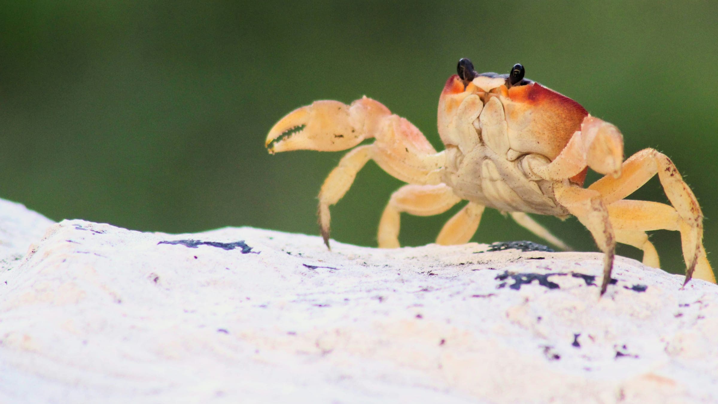
Seals are the star, with seasonal chances of basking sharks, dolphins, and rich birdlife on island days.
Tides, changing vis, and cooler water make every trip a confidence upgrade when you plan well.
Major airports, good roads and rail, and inland sites like Stoney Cove keep plans flexible.
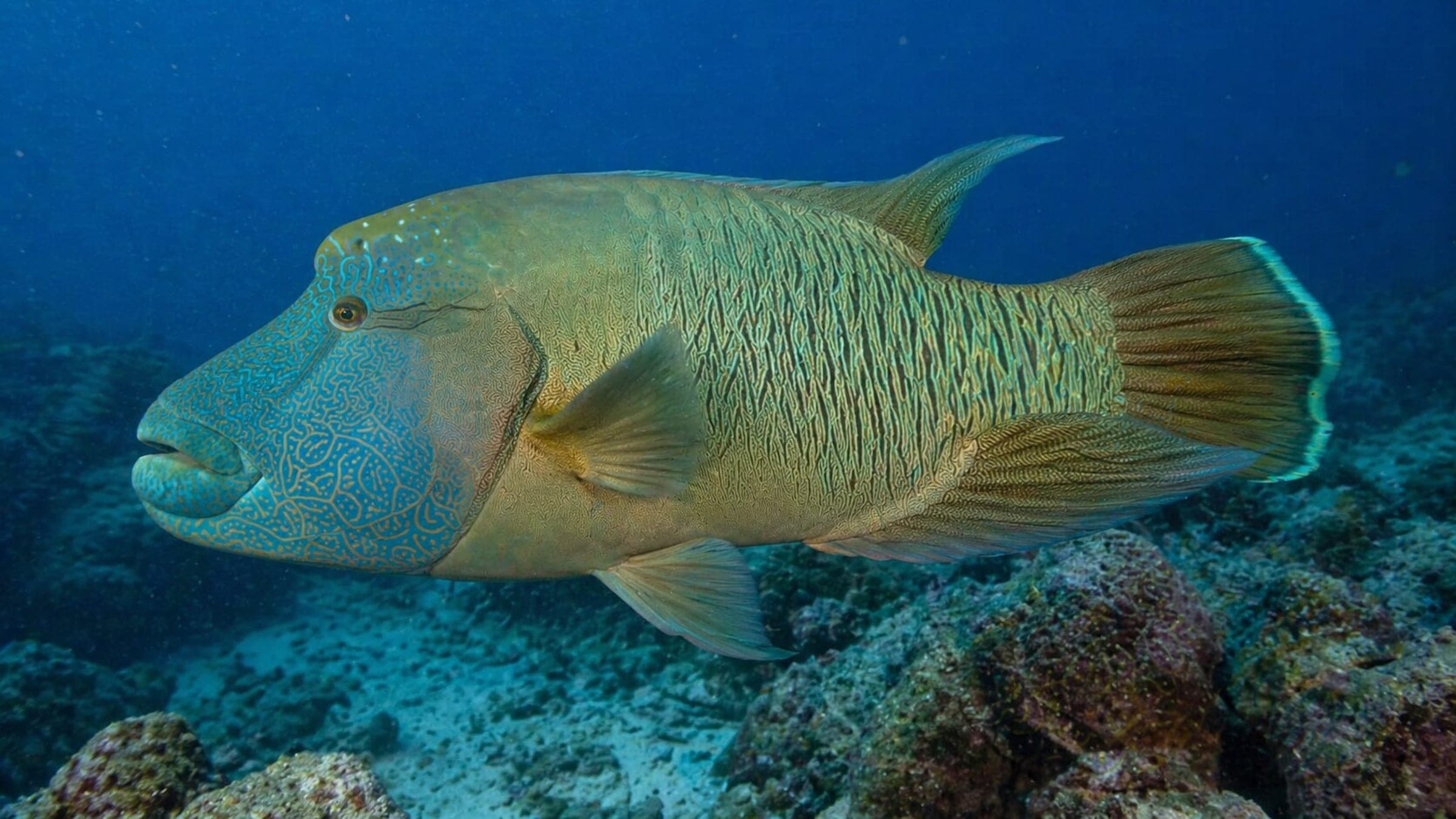
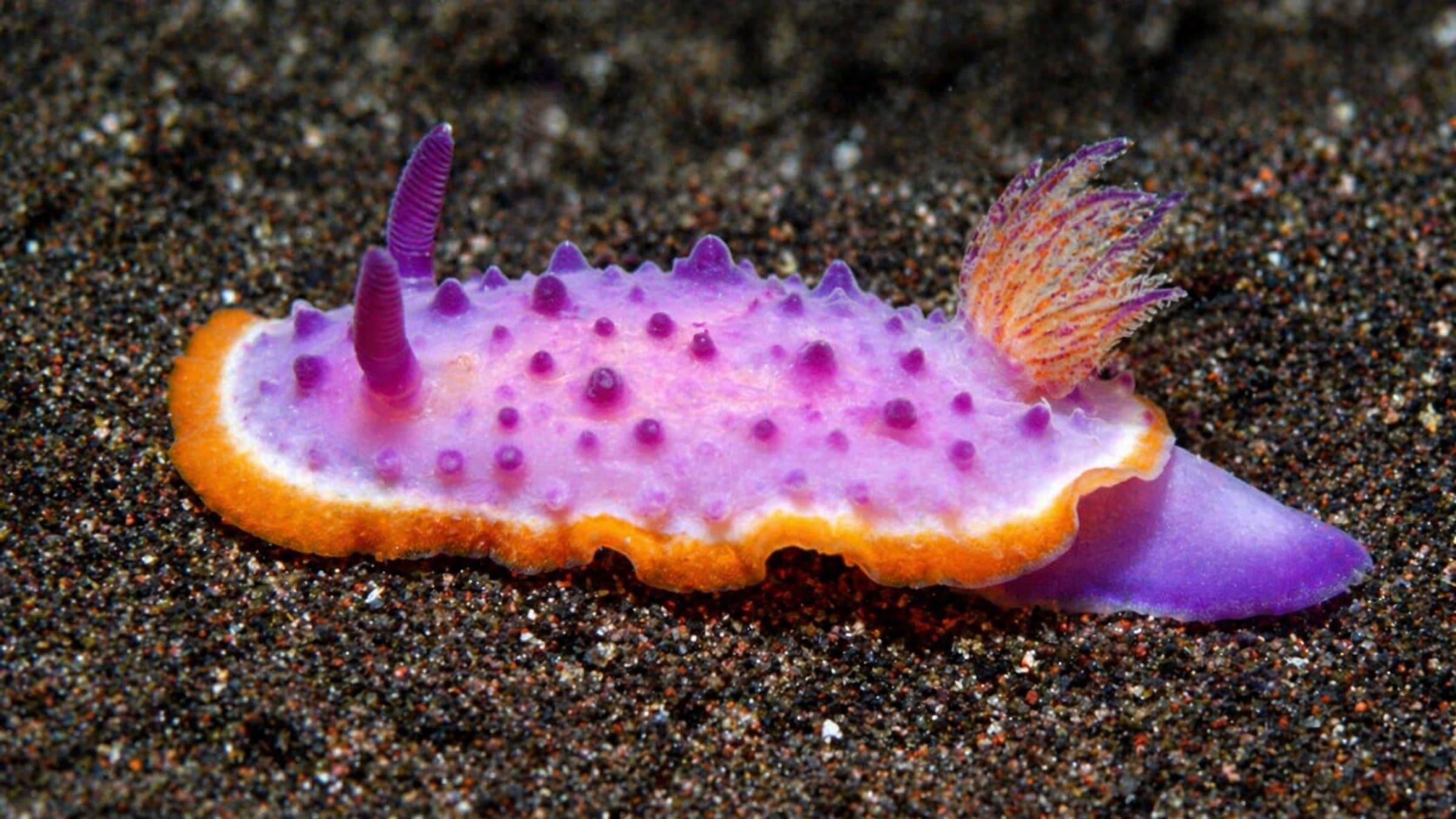
Top species linked to approved dive spots across United Kingdom.
Compare destinations and dive spots before opening the full plan.
Destination cards are being added for this country.
Best overall window: May - September
Open Season PlannerEntry, transport, and gear planning are split in the dedicated logistics section.
Open LogisticsSafety and conservation guidance is organized by activity and risk.
Open SafetyDiveJourney country guides are living documents built from local knowledge, operator experience, and publicly available sources. Conditions, regulations, and logistics can change. Each guide shows its last update date and sources used.
Last updated: December 7, 2025 • 12 sources
If you see something inaccurate or outdated, you can submit an update. This is how the platform improves.
Receive new destination drops, profile upgrades, and dive map releases.
No spam. Just solid updates when something surfaces.