divedownbelow.com · Operator
Gaya Island dive base facilities and shallow-lagoon details.
Sheltered Gaya Island reef stop with easy boat access.
Sheltered Gaya Island reef stop with easy boat access.
Access is typically arranged by boat transfer or a Gaya Island operator rather than as a standalone shore visit.
Padang Point is a sheltered Gaya Island staging point in Tunku Abdul Rahman Park, used for relaxed boat access, beach time, and shallow reef sessions. The site suits beginner-friendly scuba and easy snorkeling when the park is calm, with short transfers, basic jetty access, and plenty of nearby marine-park life. Plan for a simple island day rather than a remote or technical dive.
Conservative baseline from public research. No community dives logged yet.
Depth range, seasonality, and planning context.
Reported Depth
0m - 20m
Depth Note
Public sources describe a shallow island landing/base area and nearby reef or house-reef diving that reaches around 20m; exact depth depends on the operator route and tide.
Best Season
Year-round, with March to October usually the calmest window.
Typical Conditions
Sheltered marine-park water, usually calm to gentle, with moderate visibility and mostly shallow reef time.
Site conditions, restrictions, and access requirements.
Site Conditions
Safety Notes
Keep clear of the boat lane near the landing stage and choose the reef zones rather than the sandiest water right by the jetty if you want better clarity.
Access Restrictions
Sabah Parks entry fees and zoning rules apply, and some park sections are designated no-activity areas.
Legal Notes
Follow Sabah Parks zoning, park-entry rules, and operator briefings. Park access is separate from dive or snorkel fees.
Community notes to help plan your visit.
Scuba Diving
Good for relaxed fun dives and beginner-oriented sessions. Operators use the Gaya Island base for short reef hops and surface intervals.
Snorkeling
Snorkeling works best on the nearby reef zones and as part of a guided island day. The immediate landing-stage water can be sandy and less clear.
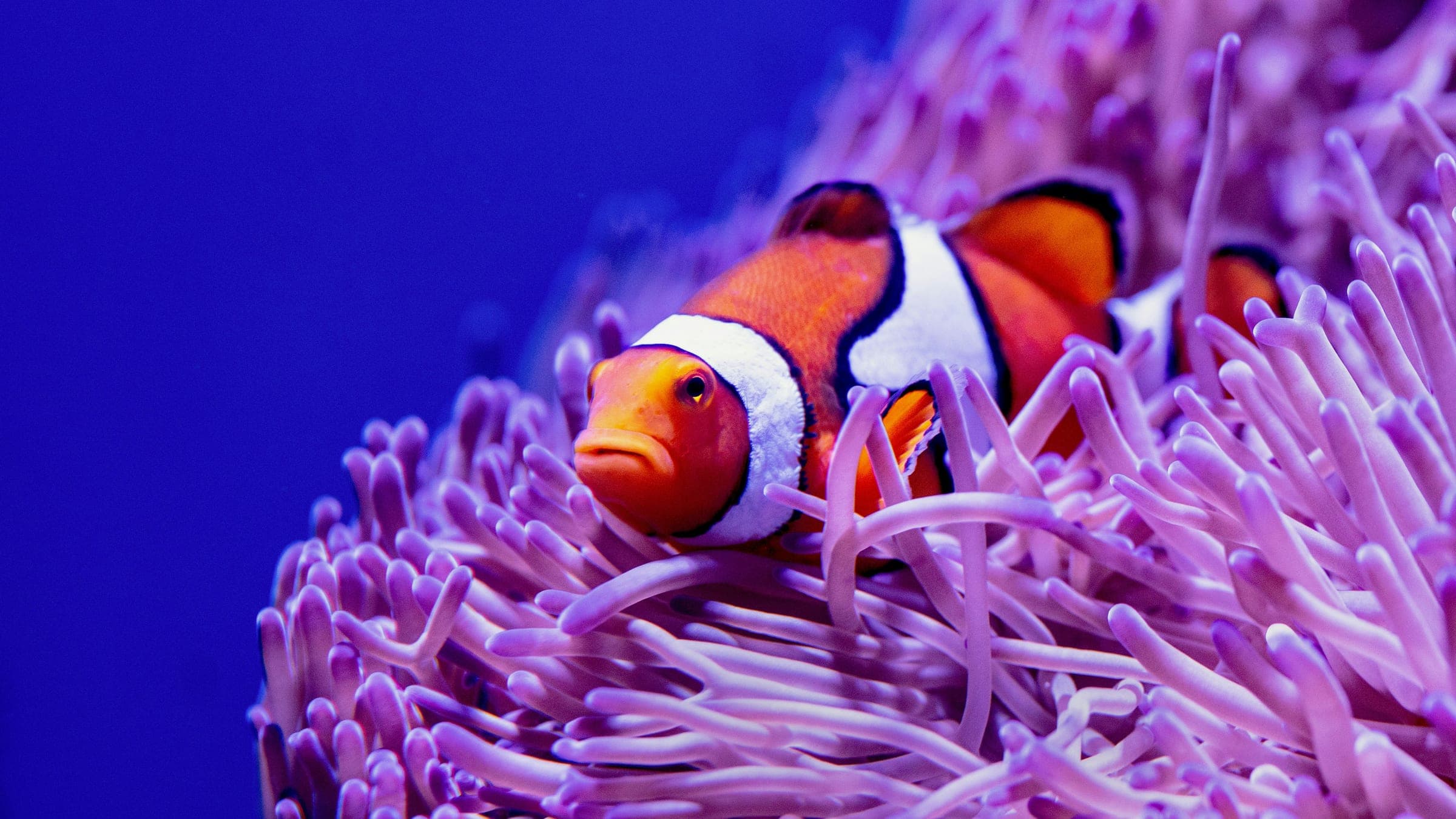
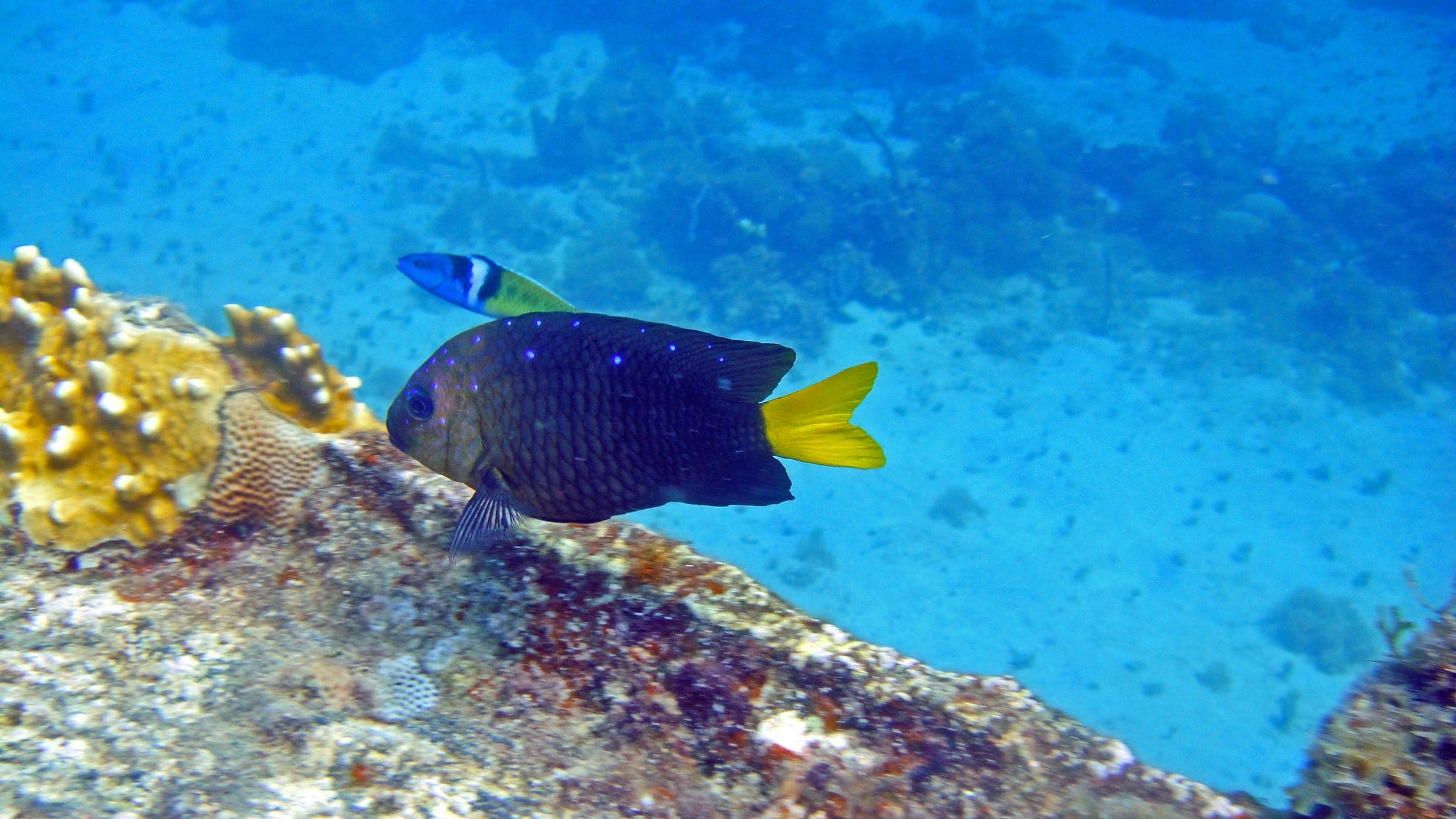
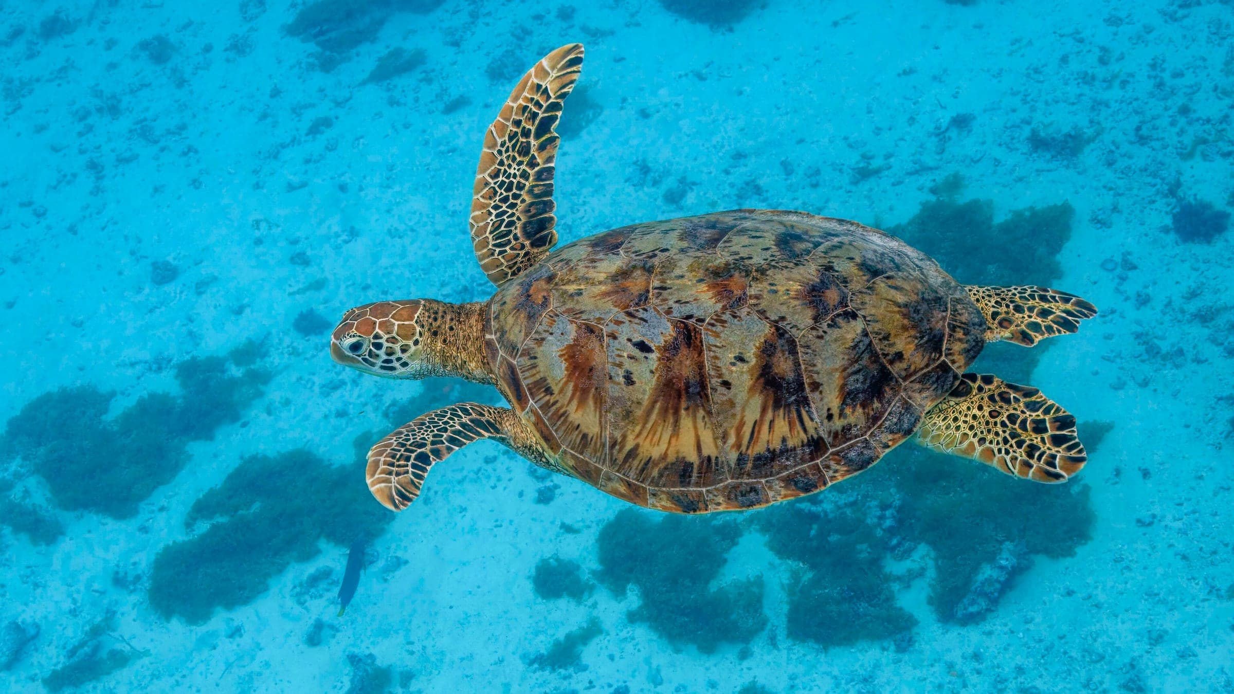
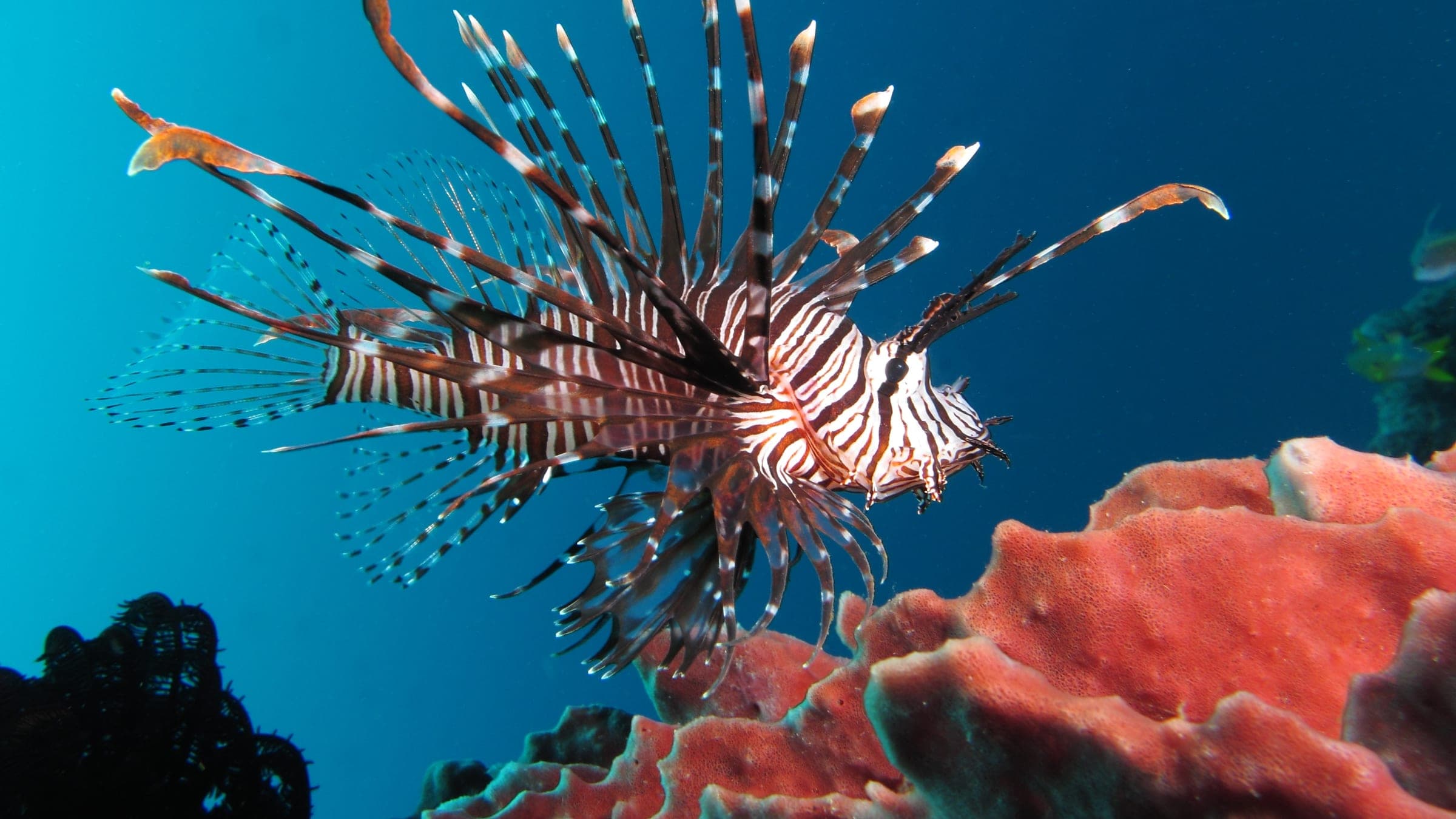
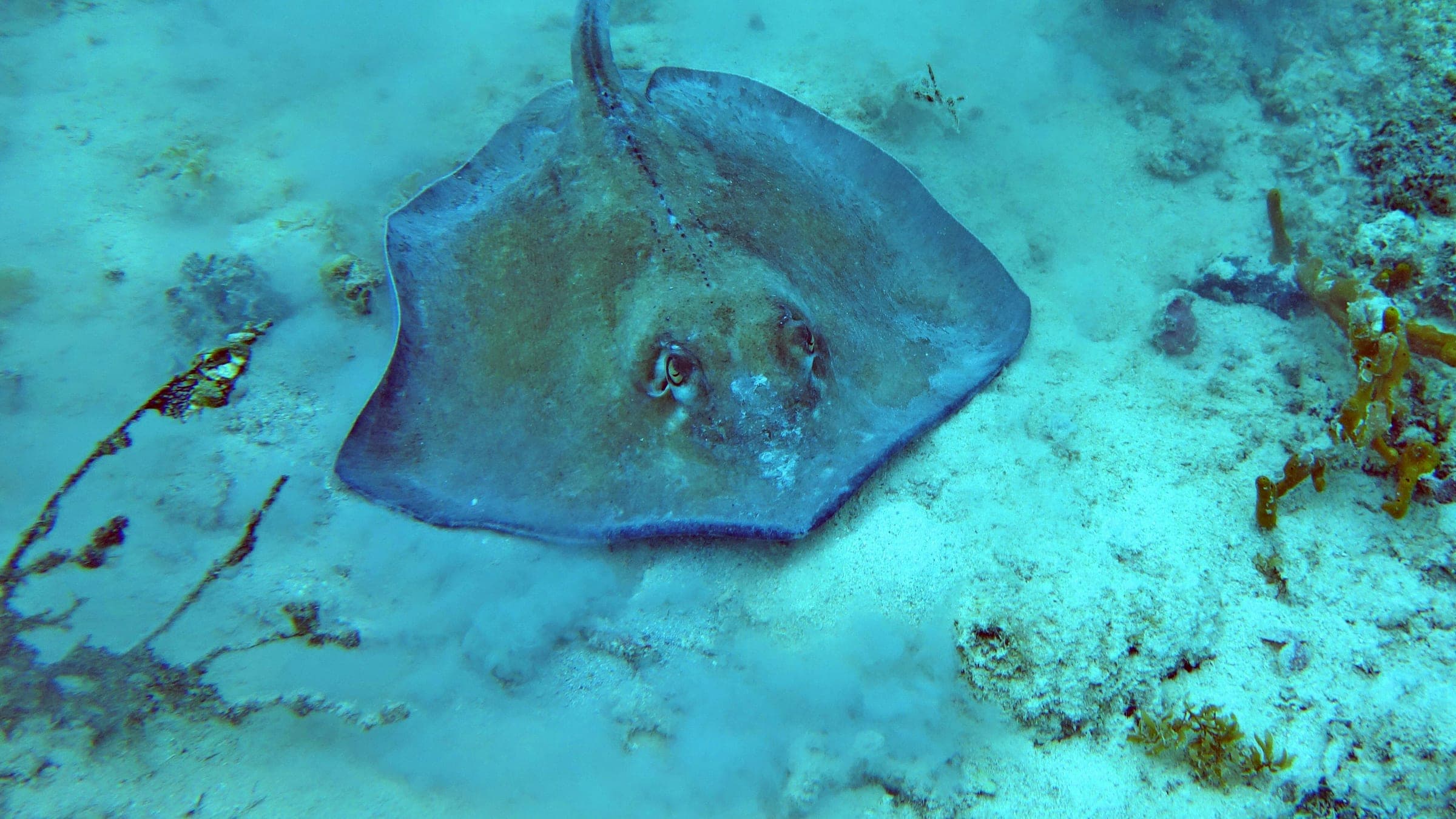
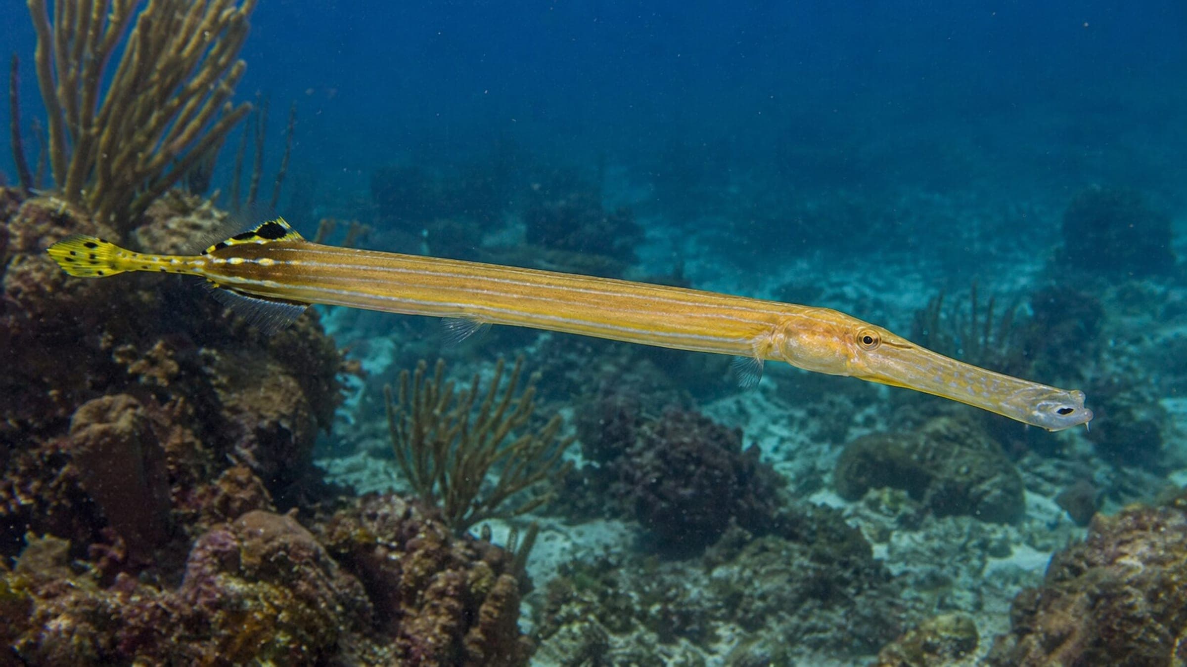
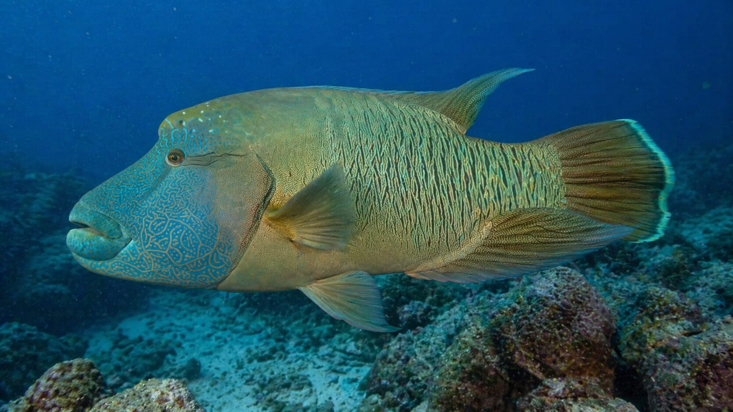
Species commonly reported at this site, with direct links into their wildlife guides.
Community dive logs and visit reports for this site.
Average conditions based on logged dives & visits.
Planning answers for access, conditions, timing, and site logistics.
Last Updated
Research Sources
Gaya Island dive base facilities and shallow-lagoon details.
Padang Point used as a daily base on Gaya Island.
Crowding and shallow-water visitor context.
Padang Point snorkel and reef-use itinerary.
Park-wide visibility and season baseline.
Official park activity, jetty, and zoning overview.
Know this site? Improve Spot Details.
Rons Reef: Gaya Island park reef
Shallow Sipadan reef with frequent turtles
Beginner-friendly boat reef near Kota Kinabalu.
Sepanggar boat reef with clear water and coral slope diving.
Outer-reef patch dive with healthy coral and big fish.