doe.ky · Official
Department of Environment public moorings map including Roger's Reef.
Roger's Reef: East End miniwall reef
Boat access and changing conditions make local East End support the practical way to dive it.
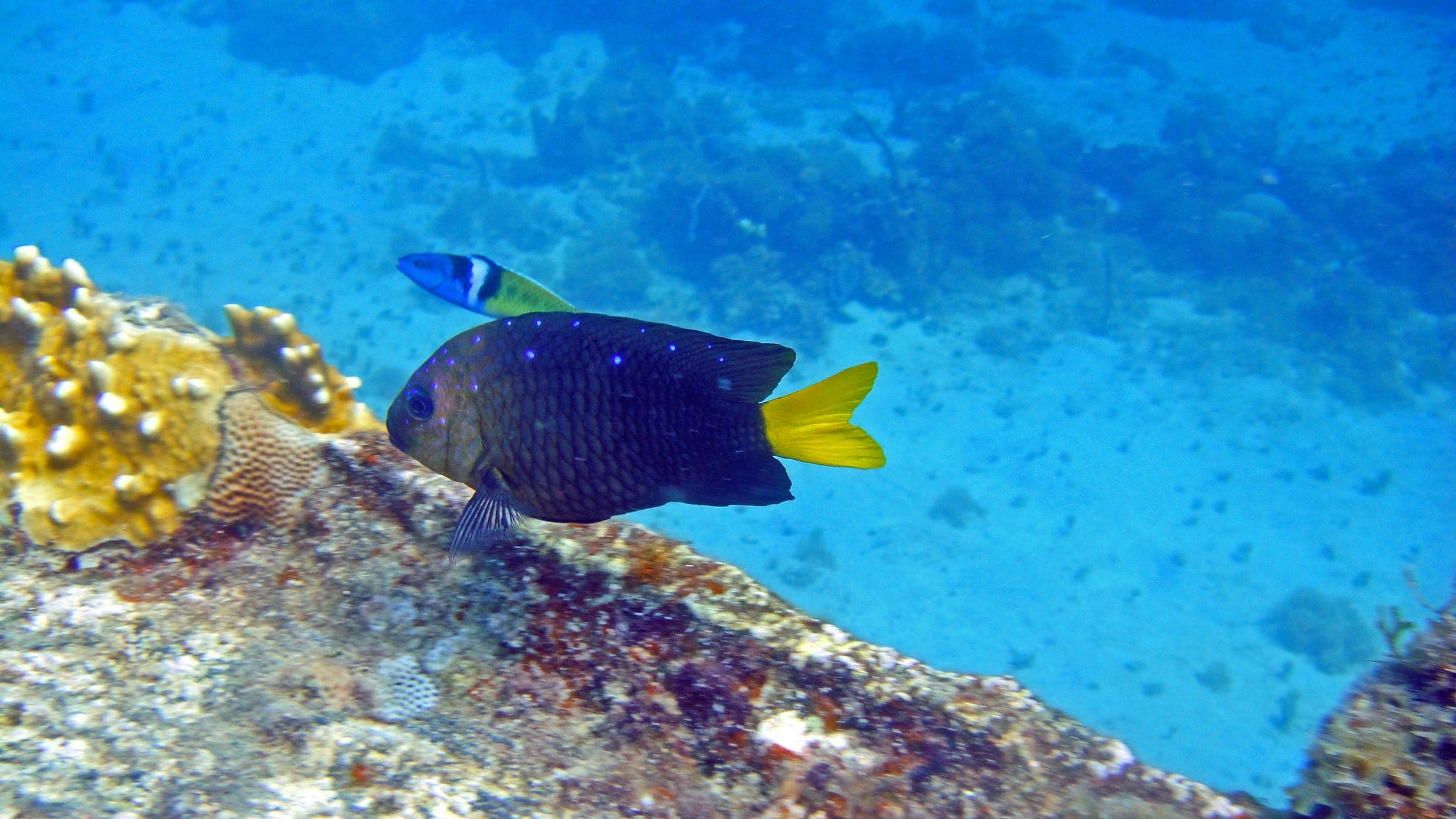
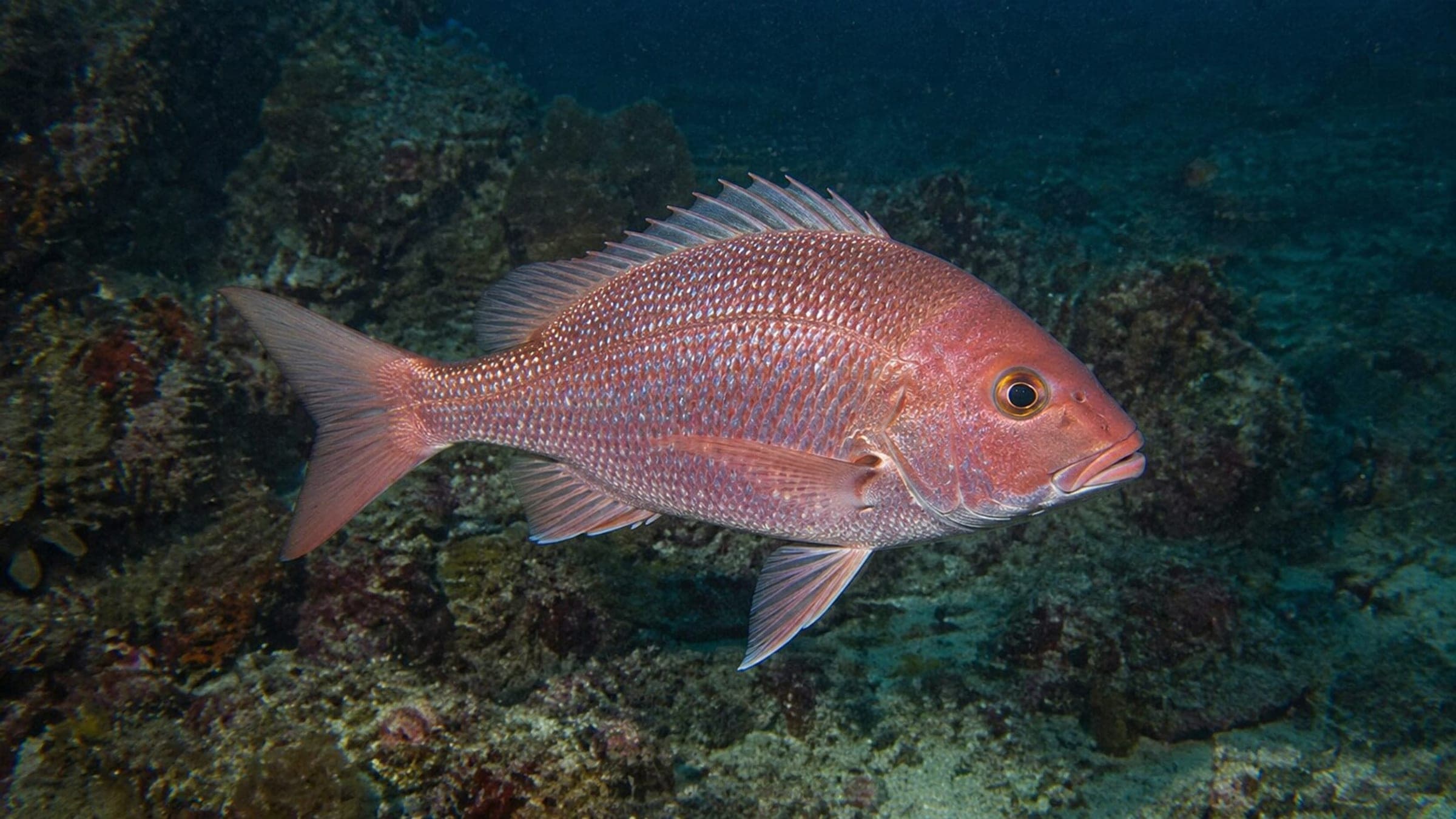
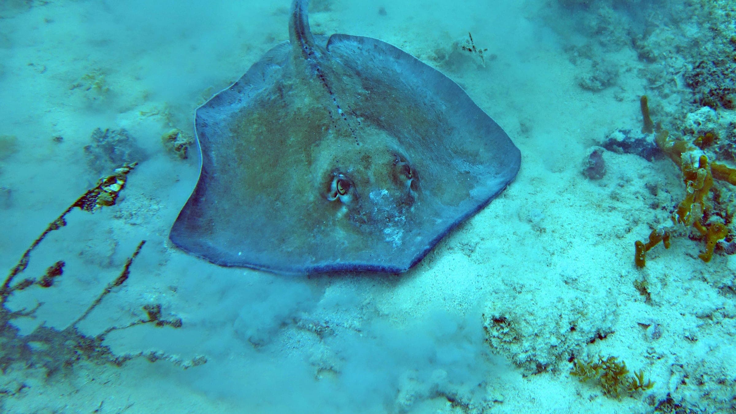
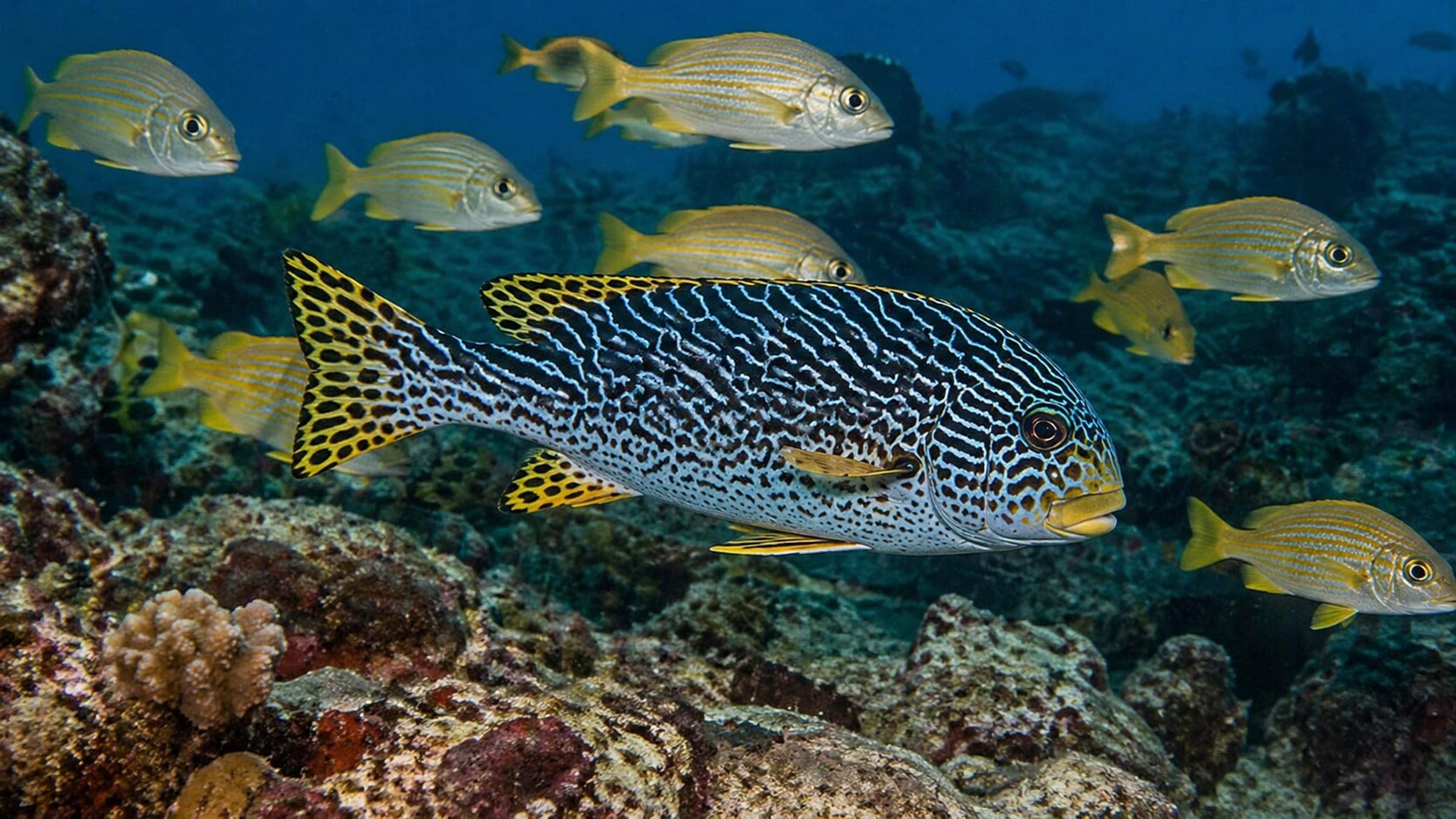
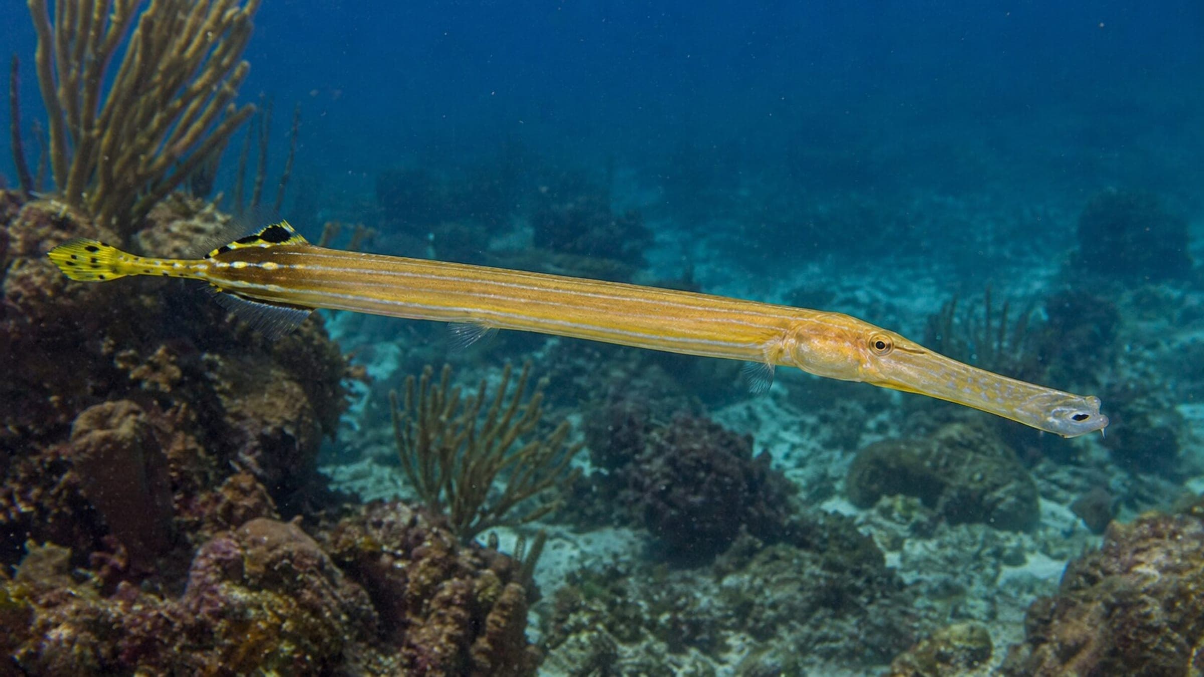
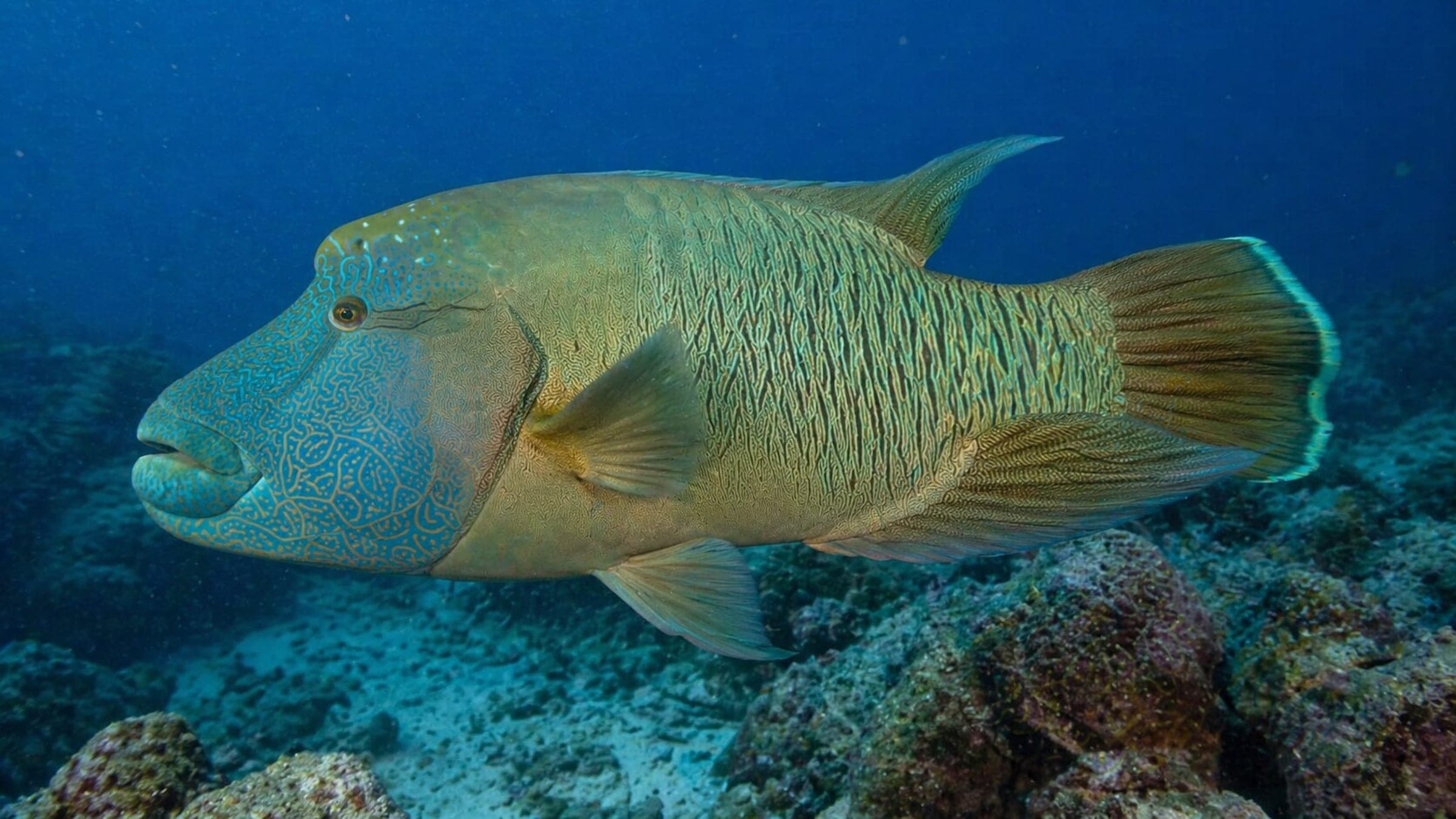
Roger's Reef is a boat-access East End Cayman reef on a dynamic corner where a shallow miniwall drops into a coral slope, sandy fingers, and spur-and-groove channels. Calm days make the reef easier to enjoy and the marine life more rewarding.
Conservative baseline from public research. No community dives logged yet.
Depth range, seasonality, and planning context.
Reported Depth
9m - 21m
Depth Note
Public listings place the site around 9-21 m, with a shallower mooring area leading into a deeper reef slope.
Best Season
late spring through early autumn
Typical Conditions
Shallow-to-mid reef slope with a miniwall, coral fingers, and sand patches; best on calmer days, with more challenging conditions when swell or wind builds.
Site conditions, restrictions, and access requirements.
Site Conditions
Safety Notes
Use a surface marker buoy, keep the team tight on the slope, and stay conservative when wind or swell is up.
Access Restrictions
Boat access only; plan on a moored dive from the East End side rather than a shore entry.
Legal Notes
Use the public mooring and avoid anchoring on the reef.
Community notes to help plan your visit.
Scuba Diving
Use the mooring to work the miniwall and follow the coral slope and sand channels back and forth. Buoyancy control matters around ledges, fingers, and surge-exposed sections.
Freediving
Not a first-choice freedive site; only the calmest conditions and a very controlled setup would make sense.
Snorkeling
Snorkeling is limited to the calmest shallow water; the main reef profile is better enjoyed underwater.
Species commonly reported at this site, with direct links into their wildlife guides.
Community dive logs and visit reports for this site.
Average conditions based on logged dives & visits.
Planning answers for access, conditions, timing, and site logistics.
Last Updated
Research Sources
Department of Environment public moorings map including Roger's Reef.
Tourism association site listing Roger's Reef on East End with a 30 ft depth and coordinates.
Operator page describing the miniwall, coral slope, dynamic corner, and marine life.
Know this site? Improve Spot Details.
Shallow Grand Cayman boat reef with caves, swim-throughs, and clear water.
Laura's Reef is a shallow South Sound boat dive with canyons and swim-throughs.
Advanced North Wall boat dive with a sheer drop-off and reef shark sightings.
Shallow George Town wreck with shore access.
Christina's Wall is a South Sound boat-access wall dive on Grand Cayman.
Paradise Reef is a shallow Grand Cayman boat reef beside Oro Verde.