
www.divers-guide.com · Independent
Independent dive-site guide with visibility, current, warnings, and marine-life details.
Snoghøj shore dive with strong current, sandy bottom, and bridge structure.
Snoghøj shore dive with strong current, sandy bottom, and bridge structure.
Gl. Færgehavn is a Snoghøj shore dive beside the Old Lillebælt Bridge, where a sandy bottom drops quickly into a current-heavy Little Belt profile. It suits divers who are comfortable planning around tide, traffic, and a long swim to the bridge pillar.
Conservative baseline from public research. No community dives logged yet.
Depth range, seasonality, and planning context.
Reported Depth
0m - 25m
Depth Note
The site starts as a sandy shore entry and drops quickly toward the bridge pillar, with a maximum depth around 25m and most of the dive sitting in the mid-teens to 20m range.
Best Season
All year round, but weak-current windows are the safest way to tackle the long swim to the bridge pillar.
Typical Conditions
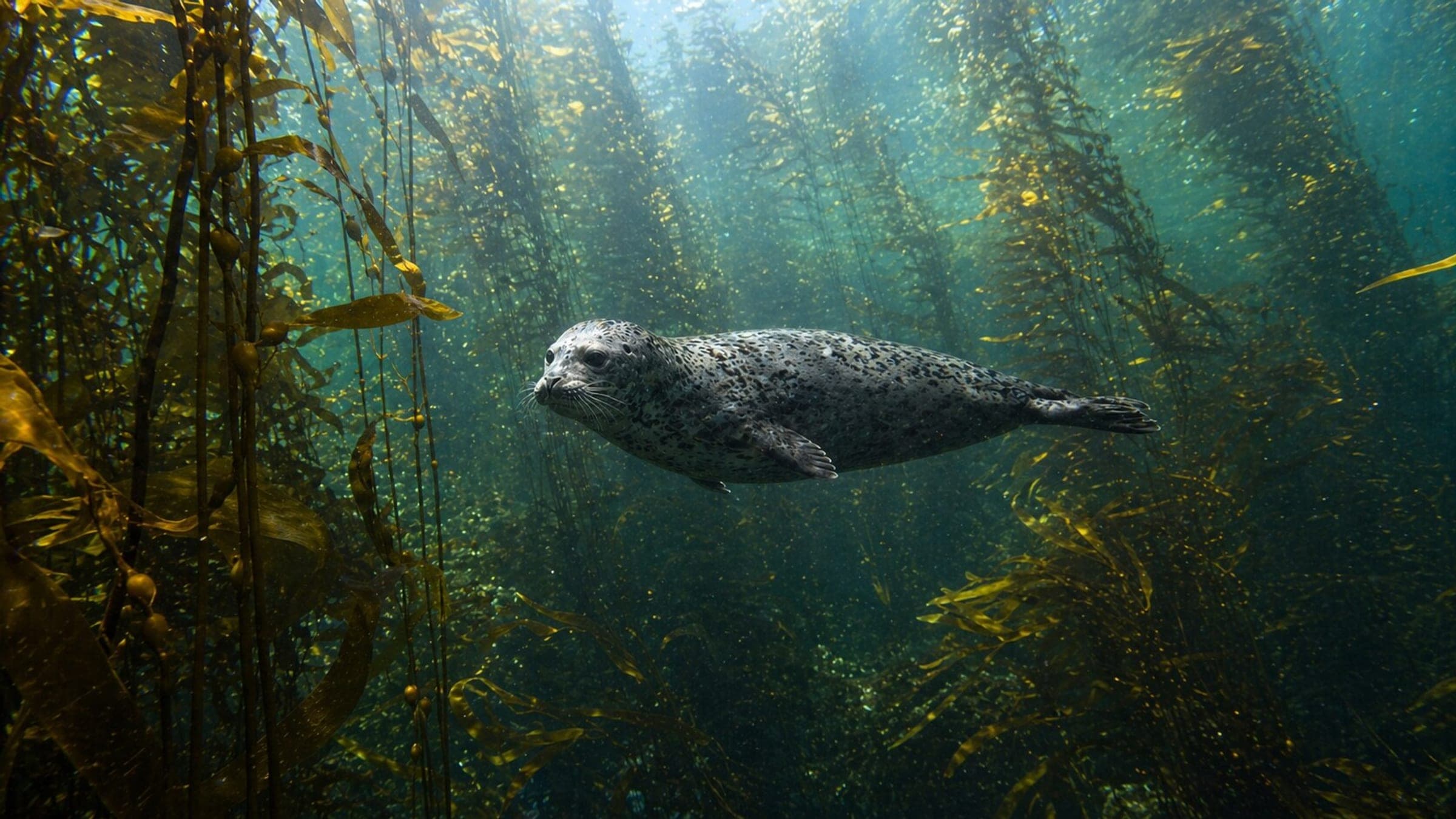
Shore-access bridge dive with a sandy bottom, kelp and seagrass, bridge-pillar structure, and strong tide.
Site conditions, restrictions, and access requirements.
Site Conditions
Safety Notes
Use a dive flag and surface buoy, keep a knife for the old nets, and only do the long swim to the pillar when the tide is weak or slack.
Access Restrictions
Enter from the shore under the bridge or from the pier area, and plan the long swim only when the current is manageable.
Legal Notes
Stay inside the marked belt, respect boat traffic, and keep clear of fishing gear and any netting around the bridge structure.
Community notes to help plan your visit.
Scuba Diving
Best as a current-aware shore dive for advanced divers, with the bridge pillar as the main objective and the return planned against the tide.
Freediving
Not a natural freedive site; the current, long swim, and bridge structure make scuba the practical choice.
Snorkeling
The shallow edge is too current-sensitive for casual snorkeling; this is primarily a scuba site.
Species commonly reported at this site, with direct links into their wildlife guides.
Community dive logs and visit reports for this site.
Average conditions based on logged dives & visits.
Planning answers for access, conditions, timing, and site logistics.
Last Updated
Research Sources
Independent dive-site guide with visibility, current, warnings, and marine-life details.
Local dive-map PDF covering the Little Belt sites and confirming the wider dive-club context.
Official tourism page describing bridge access, shore entry, and the nearby bridge-pier route.
Official tourism page for Snoghøj describing access, current, depth, facilities, and marine life.
Know this site? Improve Spot Details.

Little Belt current dive with porpoises and cod
Popular wall dive with a marked shore entry
Shore dive with slopes, caves, and winter nudibranchs
Little Belt house-reef dive resort with strong current and rock reef.
Østerstrand: Fredericia's city beach for easy shore dives
Bridge-pier dive with easy shore access and current