

dlagoonchalet.wordpress.com · Operator
Teluk Kerma location, dive center, snorkelling, and house reef.
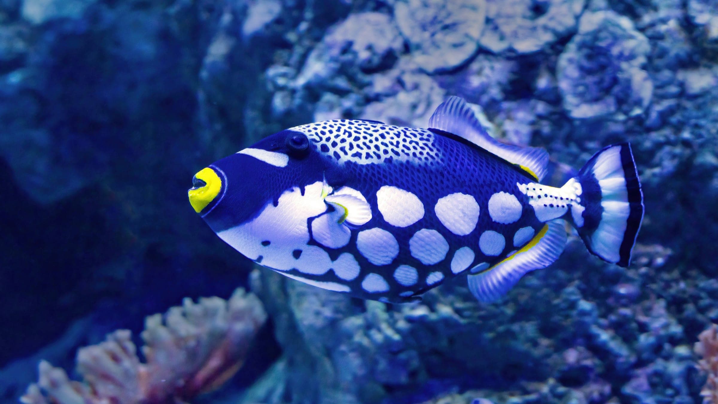
Shallow shore reef on northern Perhentian Kecil
Save it, log a dive, or explore nearby on the map.
Save it to come back later
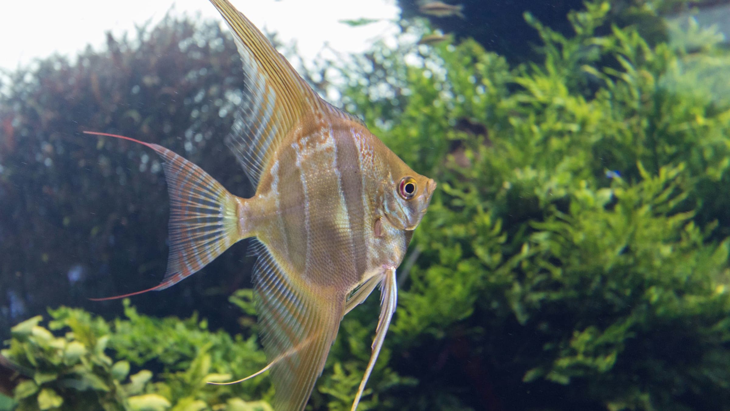
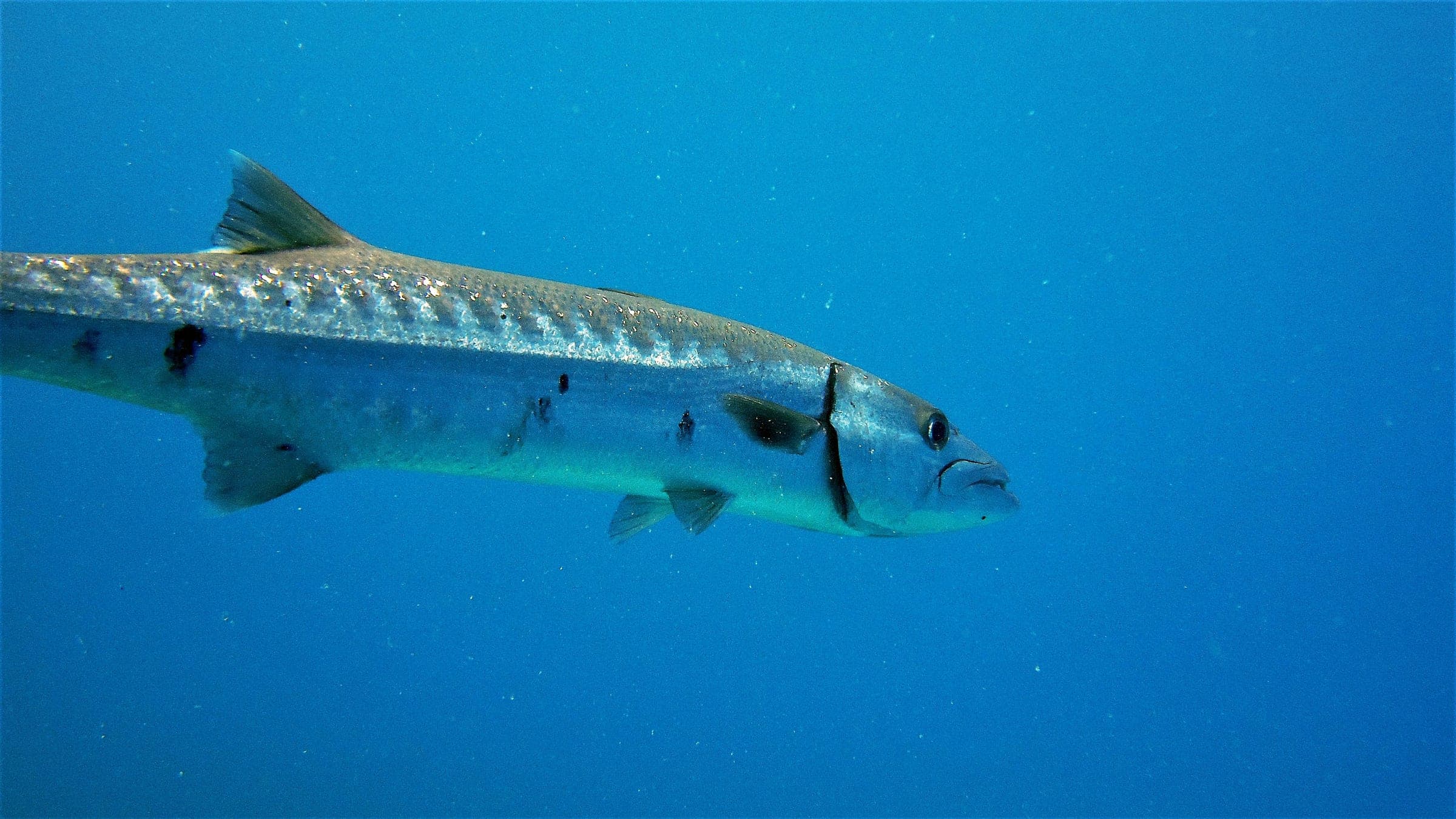
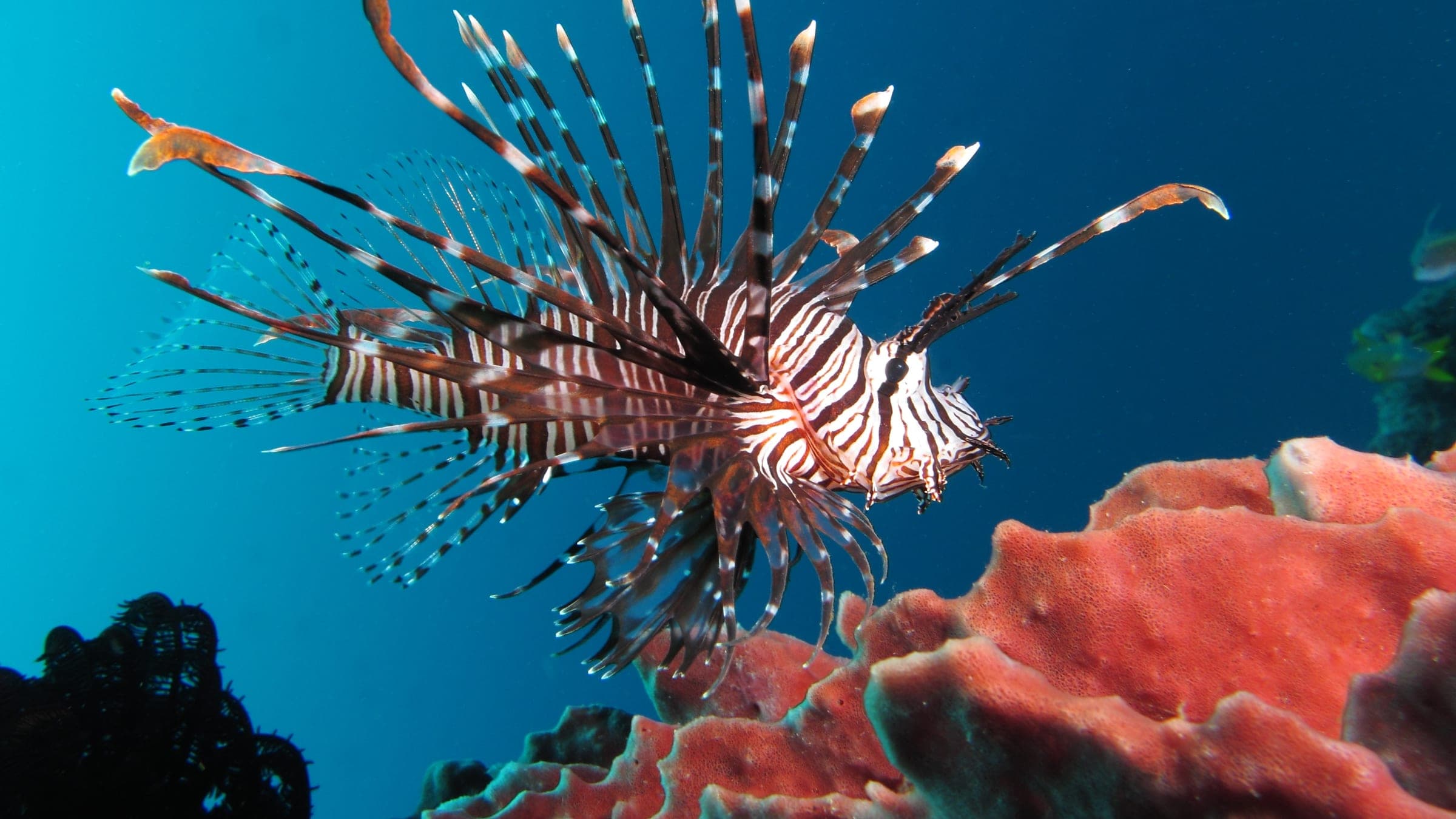
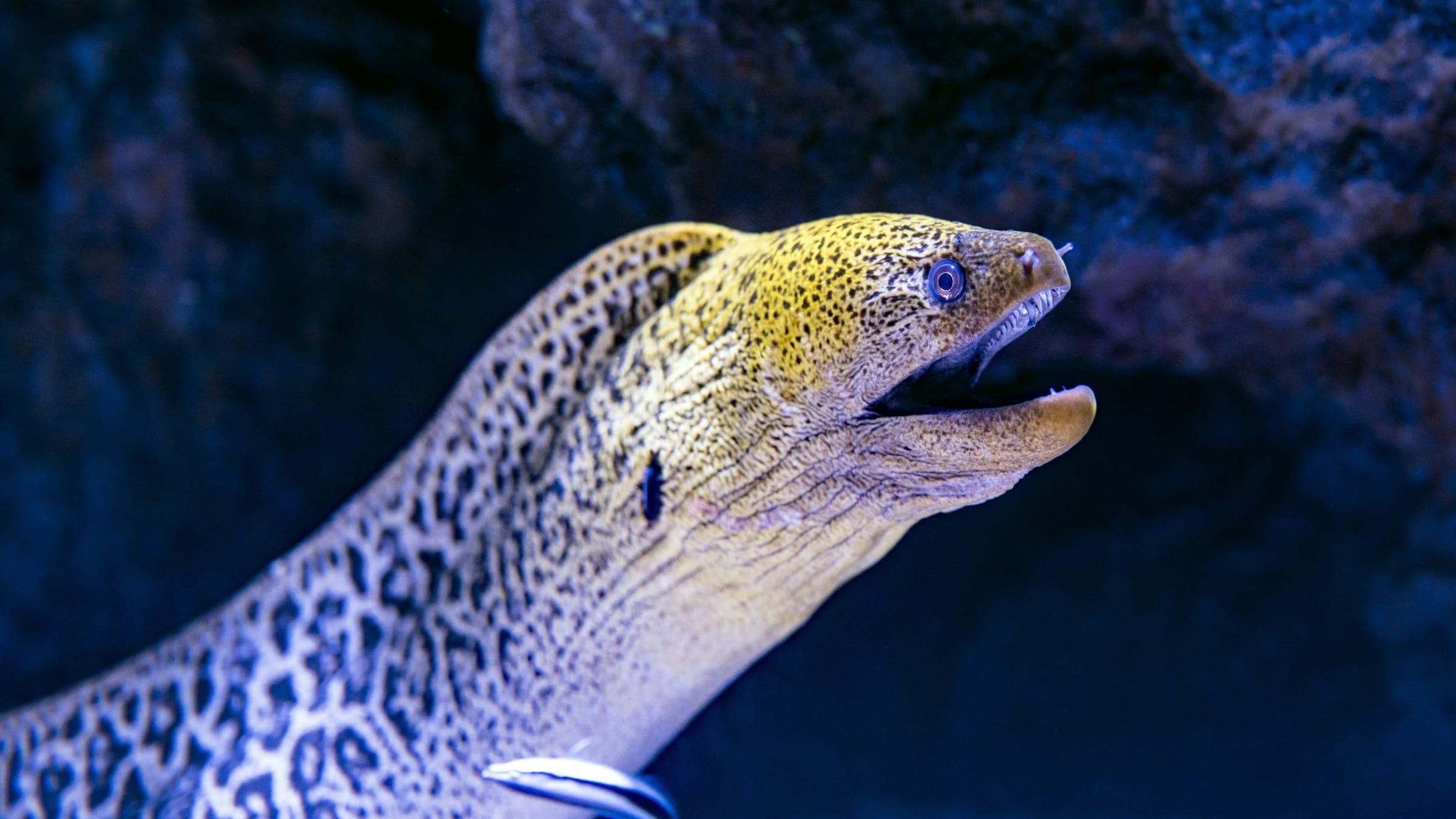
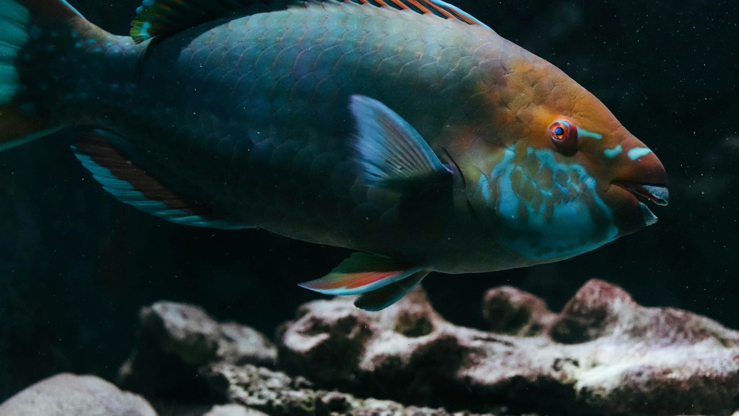
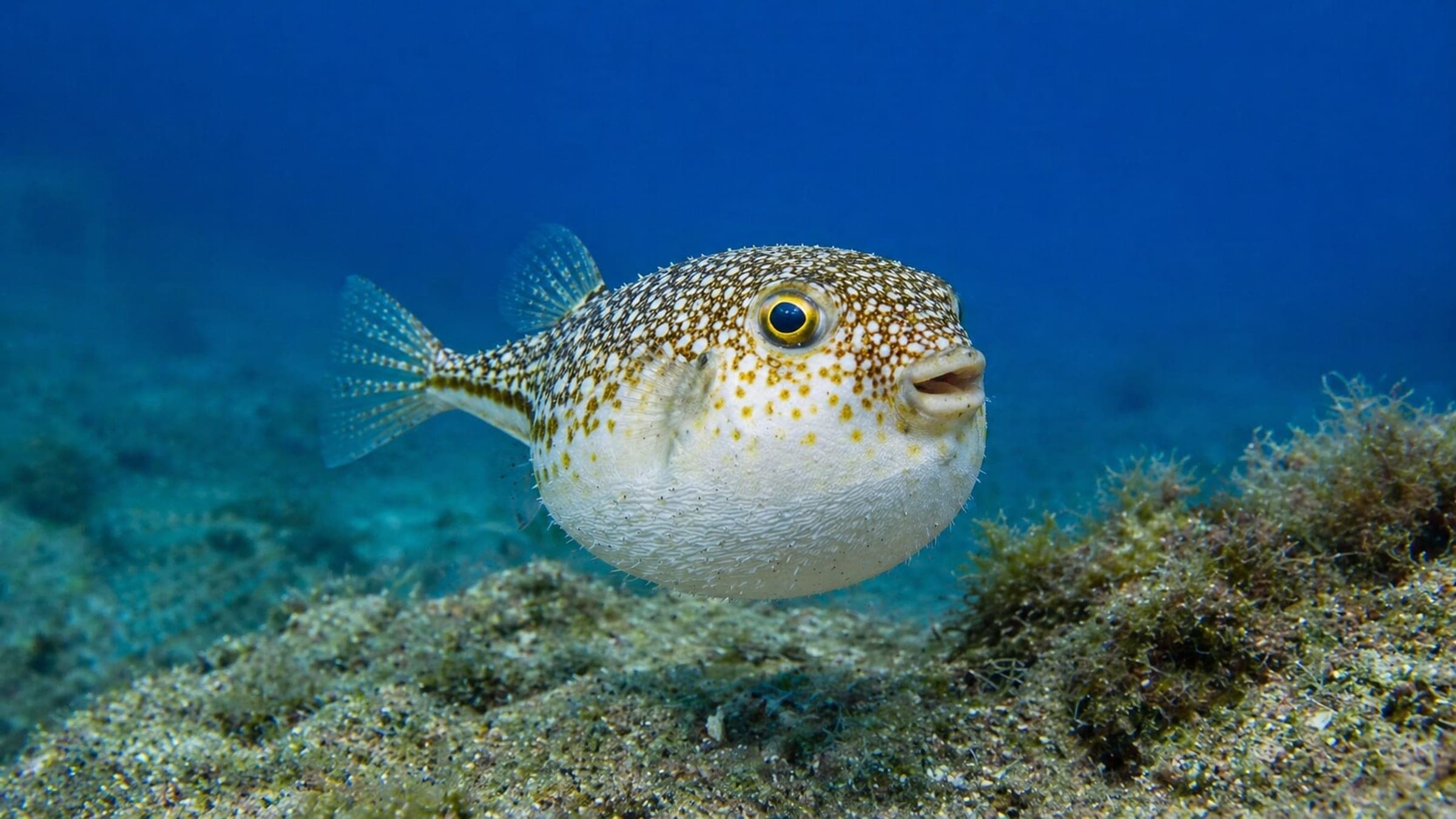
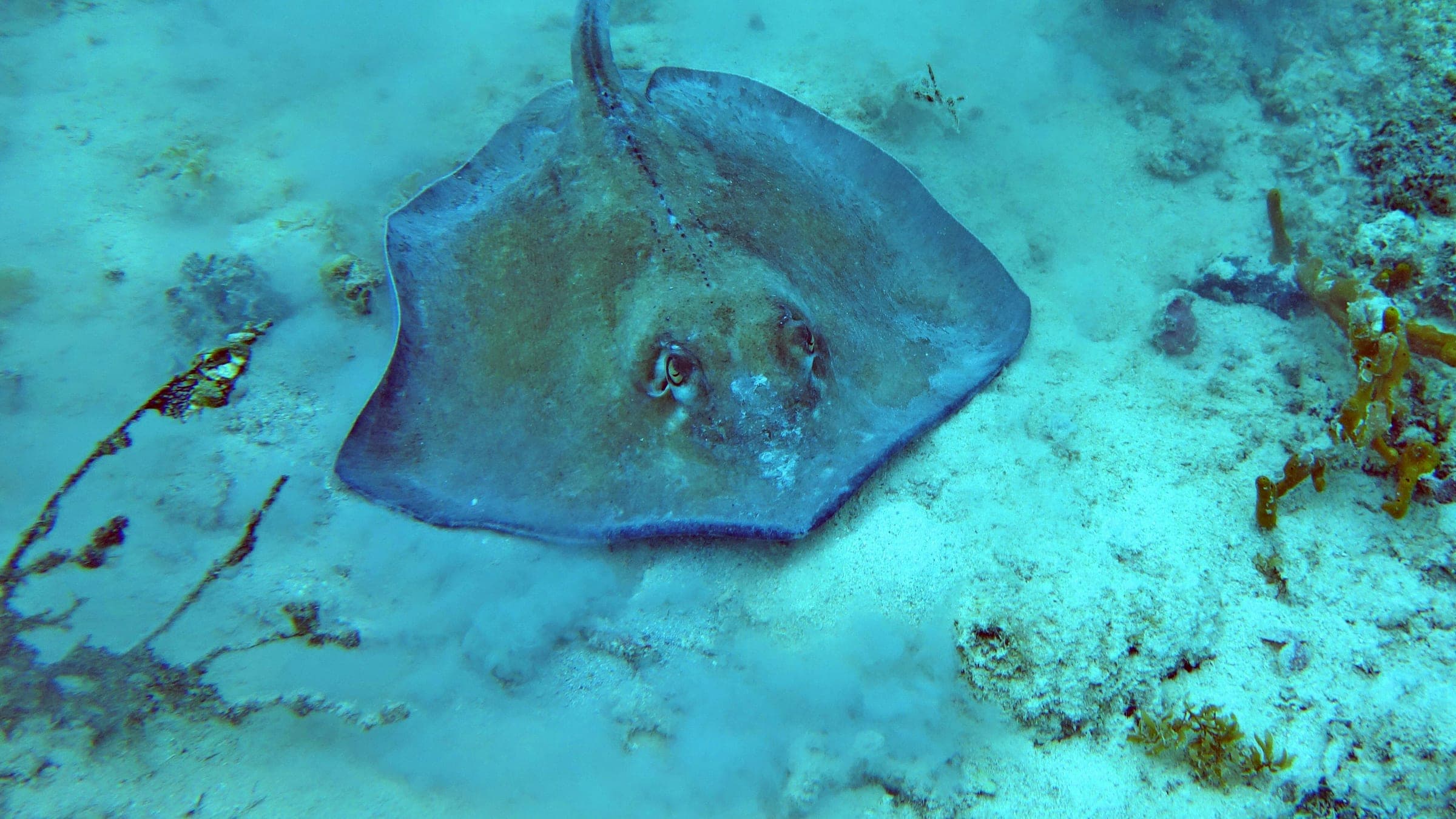
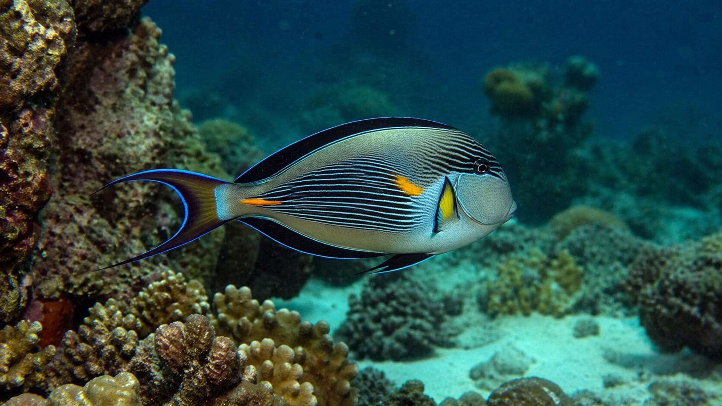
Teluk Kerma is a shallow shore reef on the north side of Perhentian Kecil, best for easy training dives and relaxed snorkelling. The route is a compact mix of rock, sand, and coral pockets rather than a long wall, so it suits slow laps and macro searching. The bay is relatively sheltered, which helps keep conditions calm when the weather is settled. Reef fish are the main draw, with parrotfish, angelfish, triggerfish, rays, and occasional turtles or sharks.
Conservative baseline from public research. No community dives logged yet.
Depth range, seasonality, and planning context.
Reported Depth
0m - 15m
Depth Note
Shallow shore reef that starts at the beach and slopes into coral and sand.
Best Season
March to September
Typical Conditions
Calm bay conditions, light current, and better visibility on settled dry-season days.
Hazards, restrictions, and access requirements.
Key Hazards
Safety Notes
Keep buoyancy tight over the coral garden and rock pockets. This is a shallow training-style reef, but weather can still roughen the surface.
Access Restrictions
Island access only; plan on boats or island footpaths rather than road transport.
Legal Notes
Perhentian is a marine park, so the standard conservation fee and marine-park rules apply.
Community notes to help plan your visit.
Scuba Diving
A compact shore dive with an easy route over rock, sand, and coral pockets. It suits training, refreshers, and slow macro-focused laps.
Freediving
Good freedive terrain in calm water, with the shallowest action close to the reef edge and coral heads.
Snorkeling
Snorkeling works well from shore in calm conditions, especially over the coral pockets and sandy cuts close to the beach.
Use the planner to scan this week, inspect today in local time, and understand how exposure shapes conditions at Teluk Kerma.
Directional shelter context for incoming swell.
Species commonly reported at this site, with direct links into their wildlife guides.
Community dive logs and visit reports for this site.
No Dive Logs Yet
Be the first to log a dive at this spot and share your experience!
Average conditions based on logged dives & visits.
Planning answers for access, conditions, timing, and site logistics.
Last Updated
Research Sources
Teluk Kerma location, dive center, snorkelling, and house reef.
Teluk Kerma tourism area, coral coverage, and island access infrastructure.
Easy formation-site listing for Teluk Kerma at 15 m.
East-coast island season window.
Quiet bay and light snorkeling.
Marine-park fee and ticket validity.
Know this site? Improve Spot Details.

Boulder-and-sand ray site off northern Perhentian Kecil.
Perhentian reef dive with boulders, whiprays, and good coral.
Sheltered Perhentian shore dive with coral, boulders, and easy beginner access.
Batu Tabir is a current-zone Perhentian pinnacle with boulders and stingrays.
Panglima Abu is a shallow Perhentian reef for beginners and reef life.