maltadives.com · Dive Directory
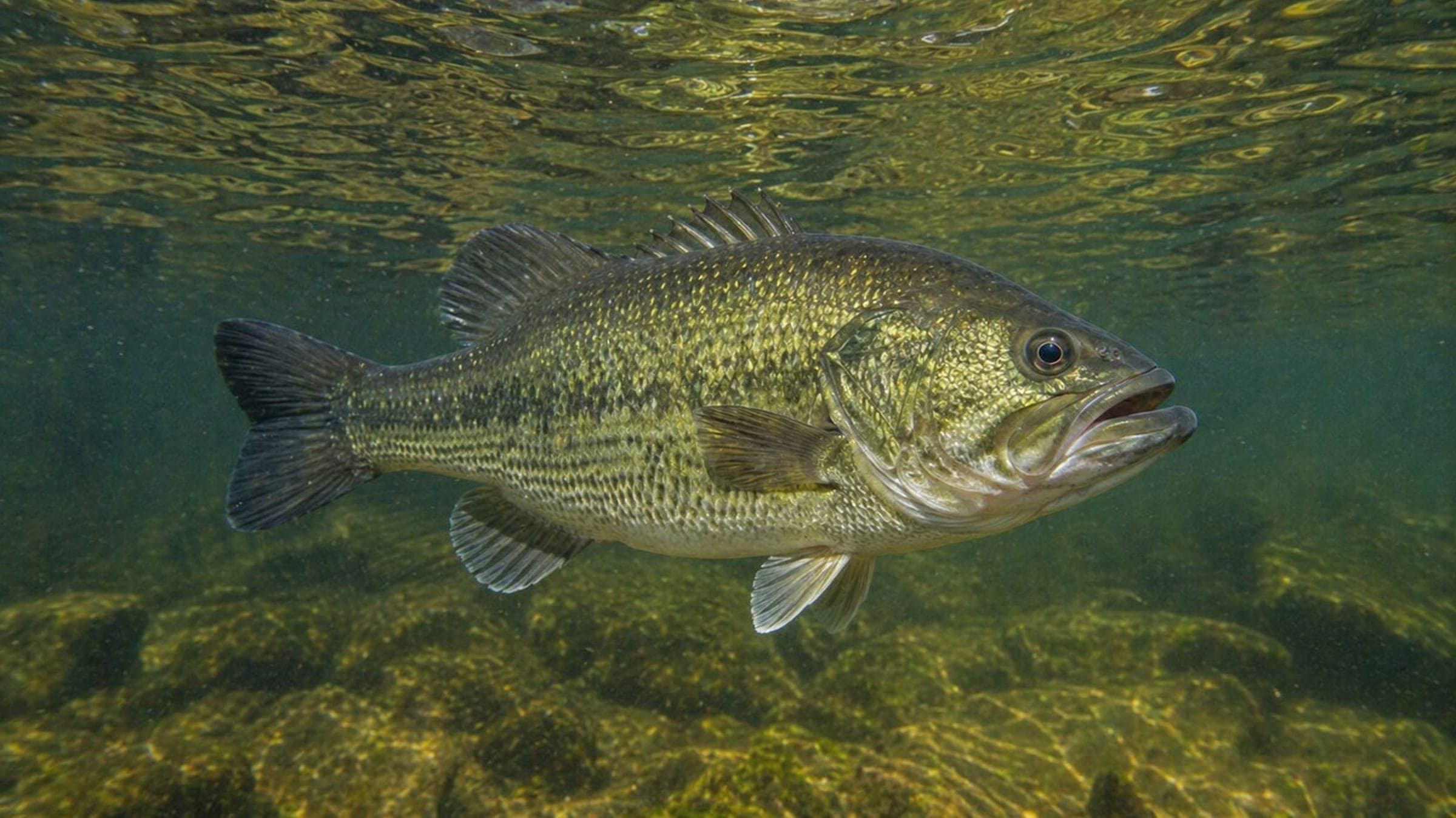
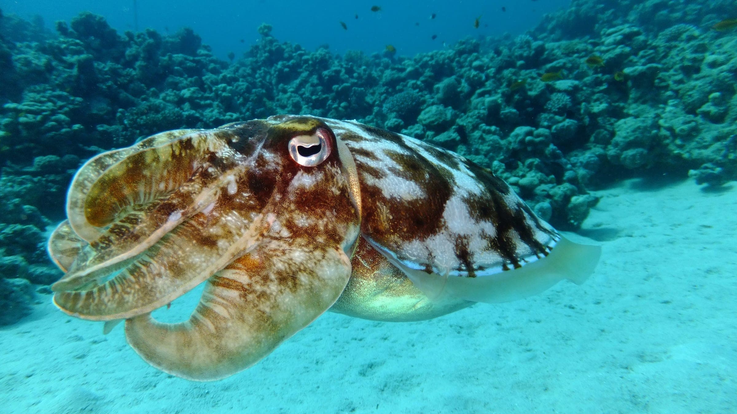
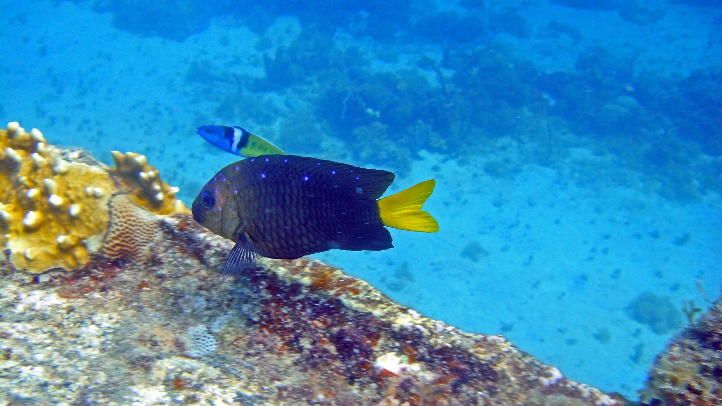
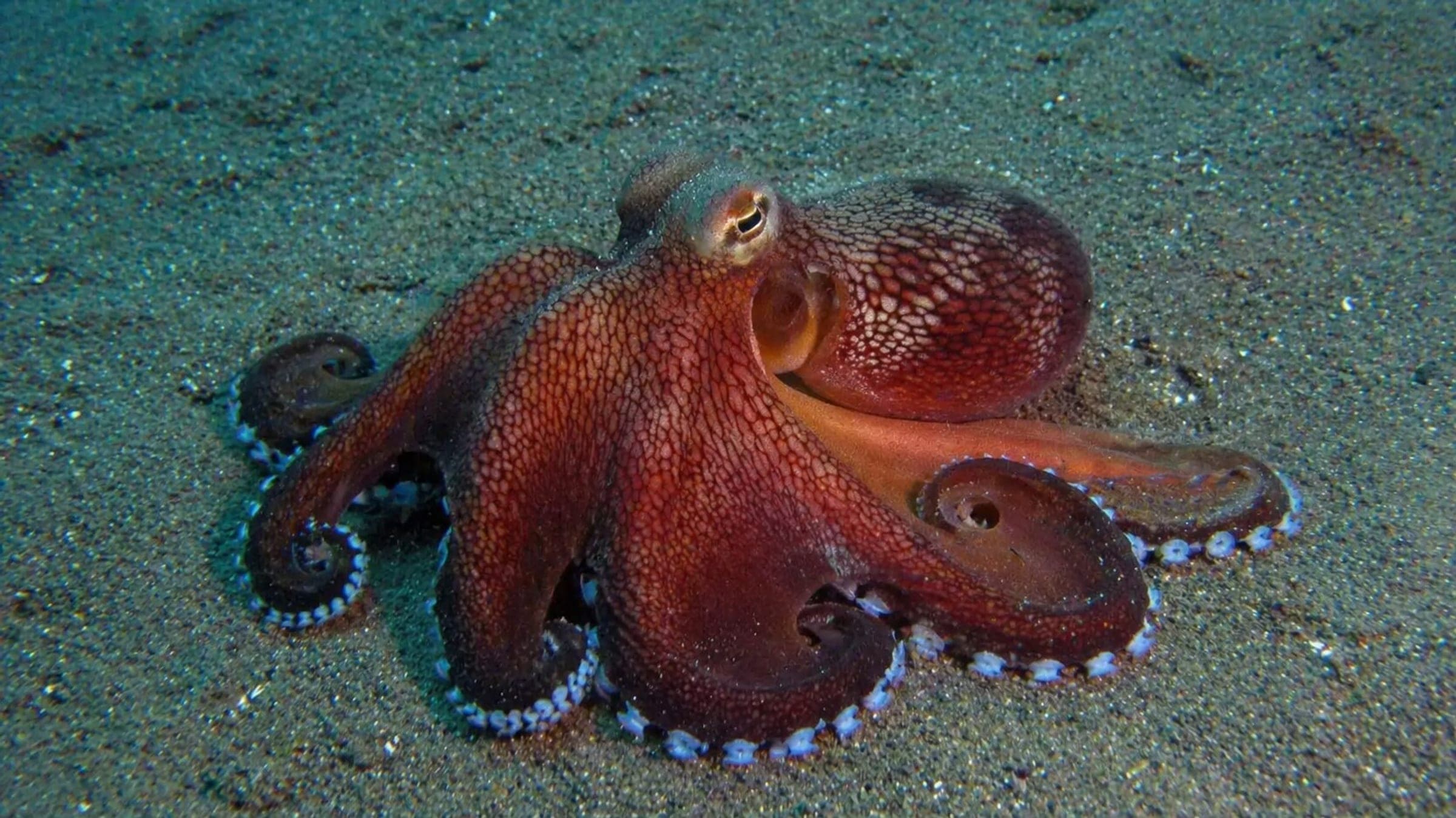
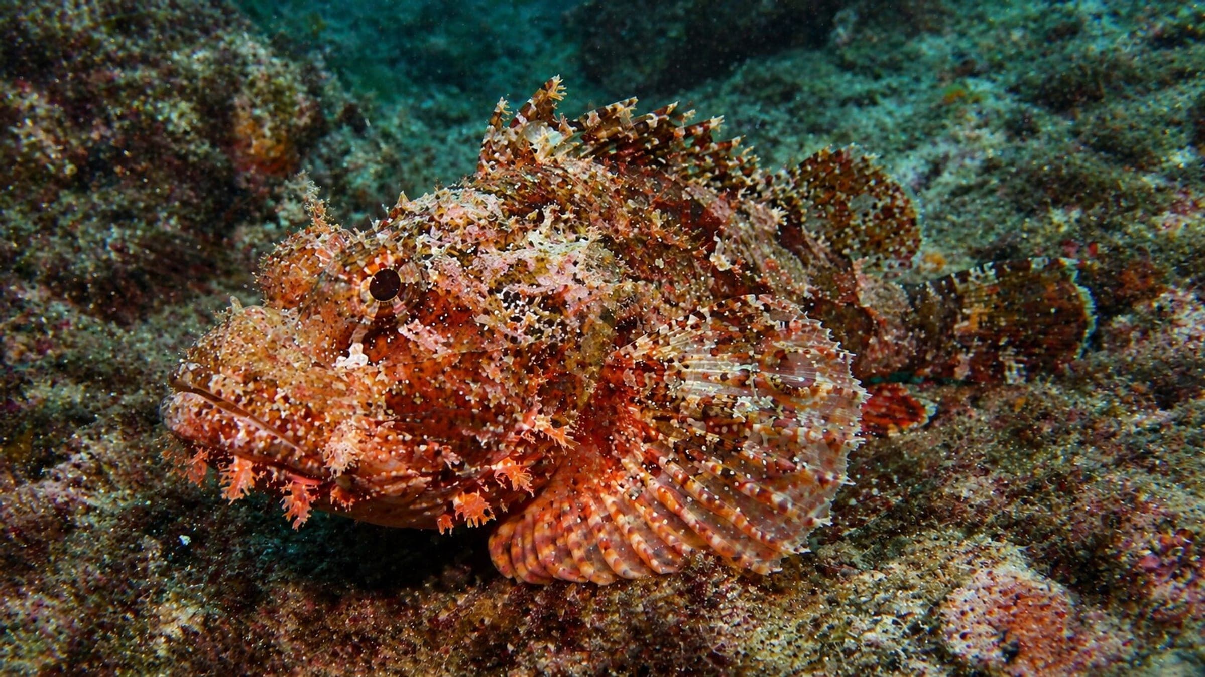
Easy access from the shore; entry-level wreck profile; max depth 16m; wreck broken up; marine life includes salema, sea bream, cardinal fish, octopus, and scorpionfish.
HMS Maori: shallow shore-access wreck on sand.
HMS Maori is a shallow shore-access wreck dive on a sandy bottom with a broken-up profile and easy historic appeal. It suits beginner wreck divers who want a relaxed profile, good buoyancy practice, and plenty of Mediterranean reef life around the structure.
Conservative baseline from public research. No community dives logged yet.
Depth range, seasonality, and planning context.
Reported Depth
5m - 16m
Depth Note
Depth range is reported at 5-16m, with the bow around 14m on a white sandy seabed.
Best Season
Year-round, with calmer seas and less silt on settled days.
Typical Conditions
Shallow sandy wreck with broken structure, easy shore access, and visibility that can drop if the bottom is stirred.
Hazards, restrictions, and access requirements.
Key Hazards
Safety Notes
Good buoyancy matters because silt can reduce visibility, and the wreck is badly broken up with no meaningful penetration opportunity.
Access Restrictions
Use a controlled shore entry and keep finning gentle; swell can make the exit more difficult on rough days.
Legal Notes
No special permit is indicated; follow local harbour and shoreline rules.
Community notes to help plan your visit.
Scuba Diving
A shallow historic wreck dive with easy shore access, a broken structure, and a sandy bottom.
Freediving
A shallow freedive target for confident divers who are comfortable around broken wreck structure.
Use the planner to scan this week, inspect today in local time, and understand how exposure shapes conditions at HMS Maori.
Directional shelter context for incoming swell.
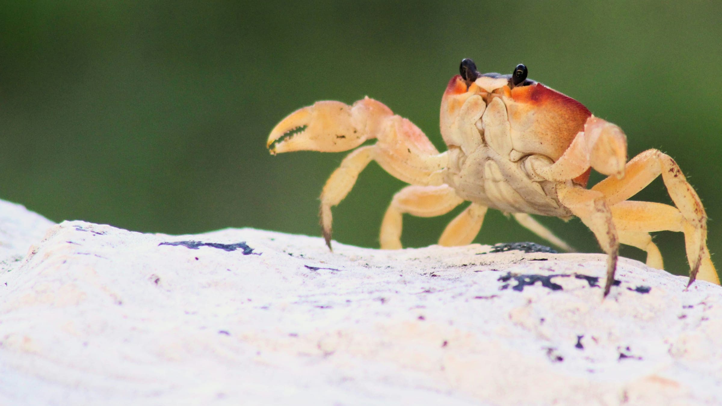
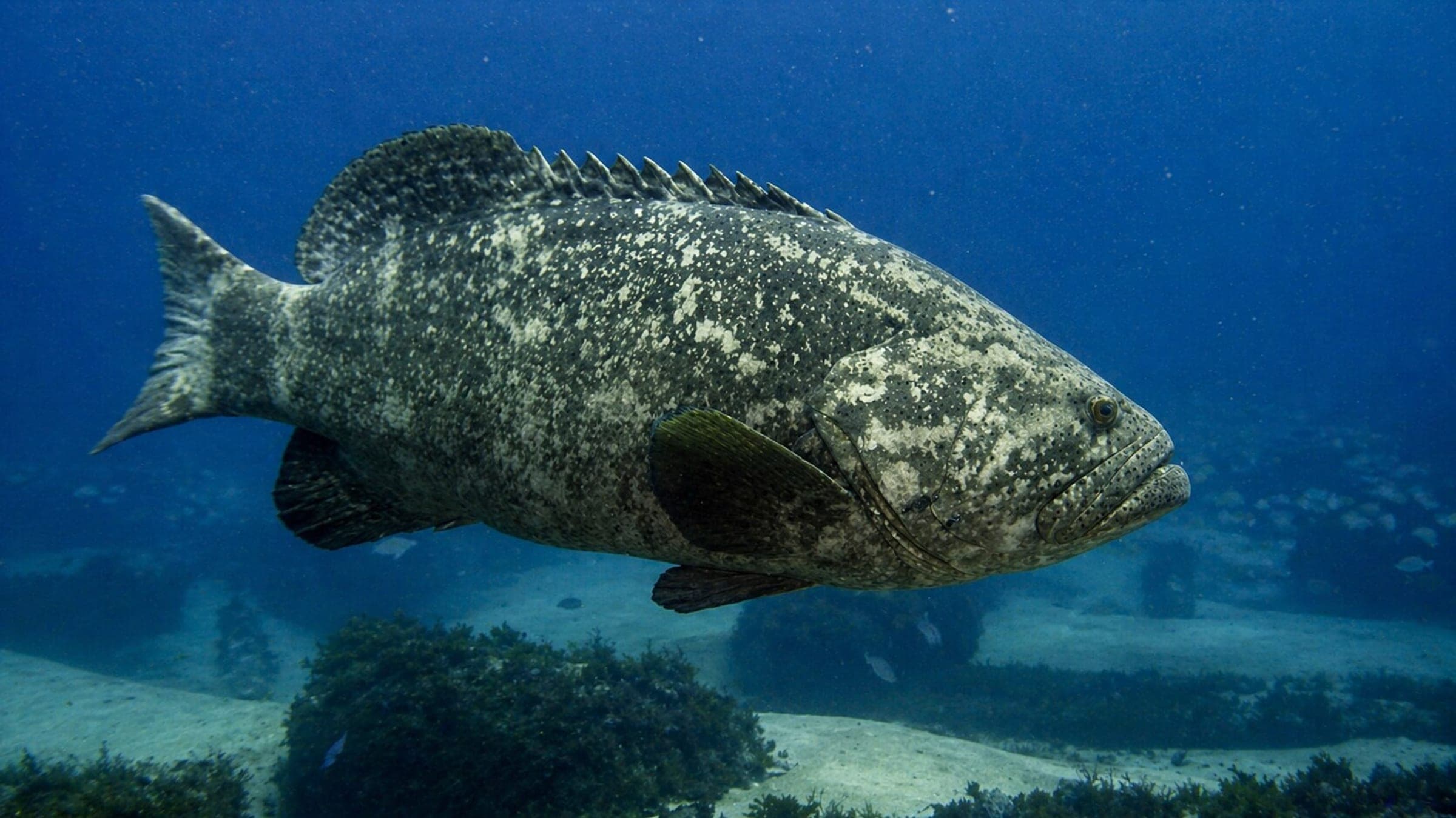
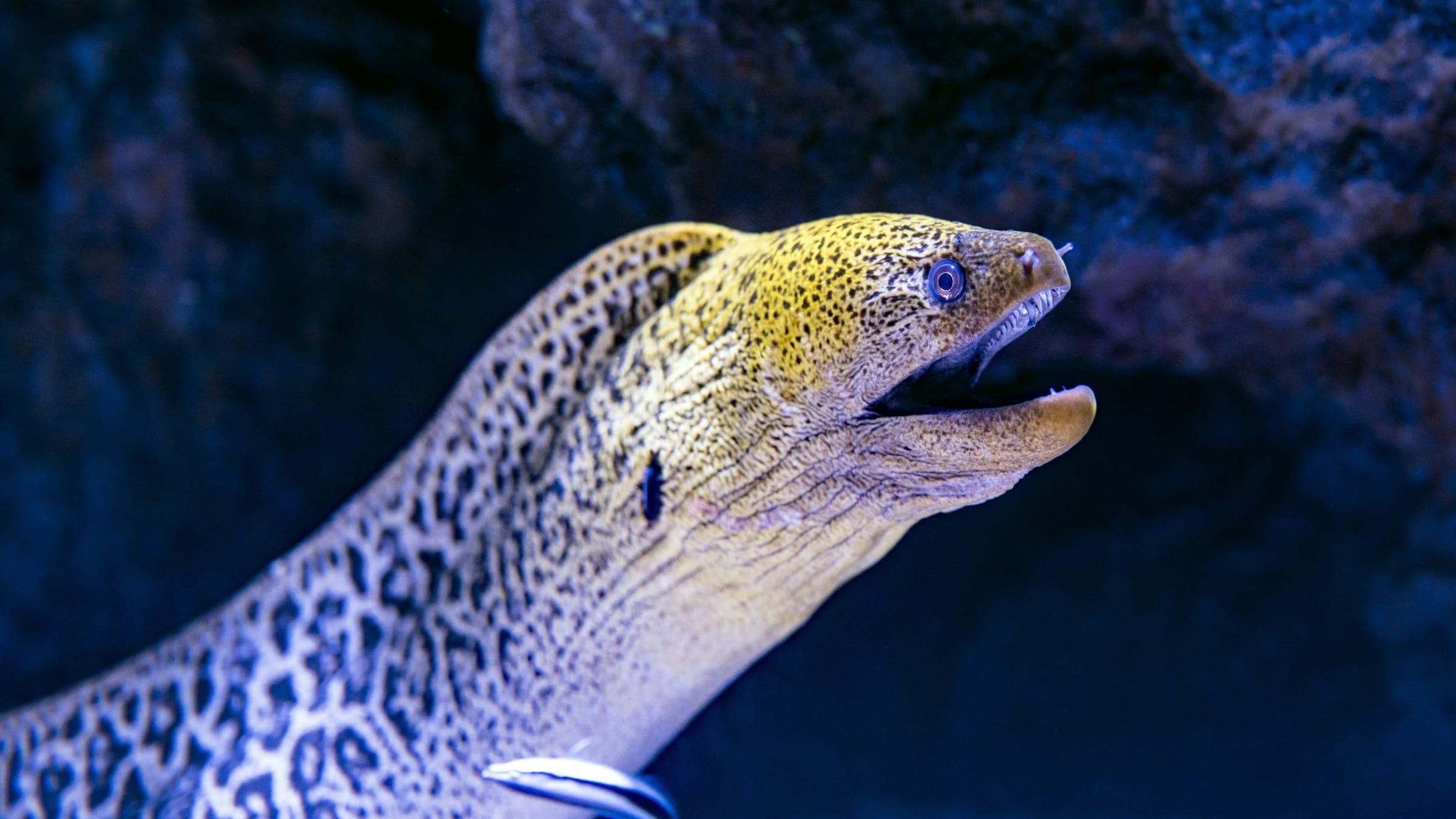
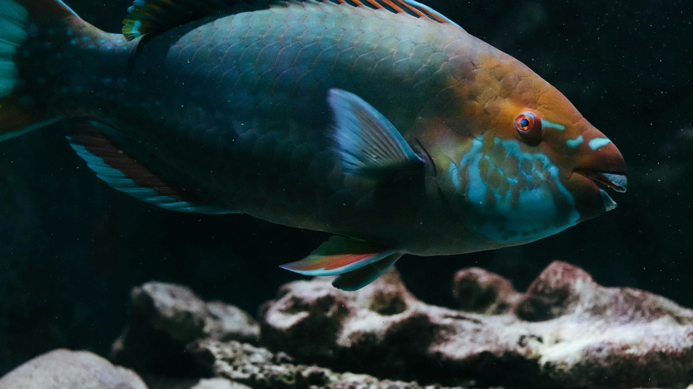
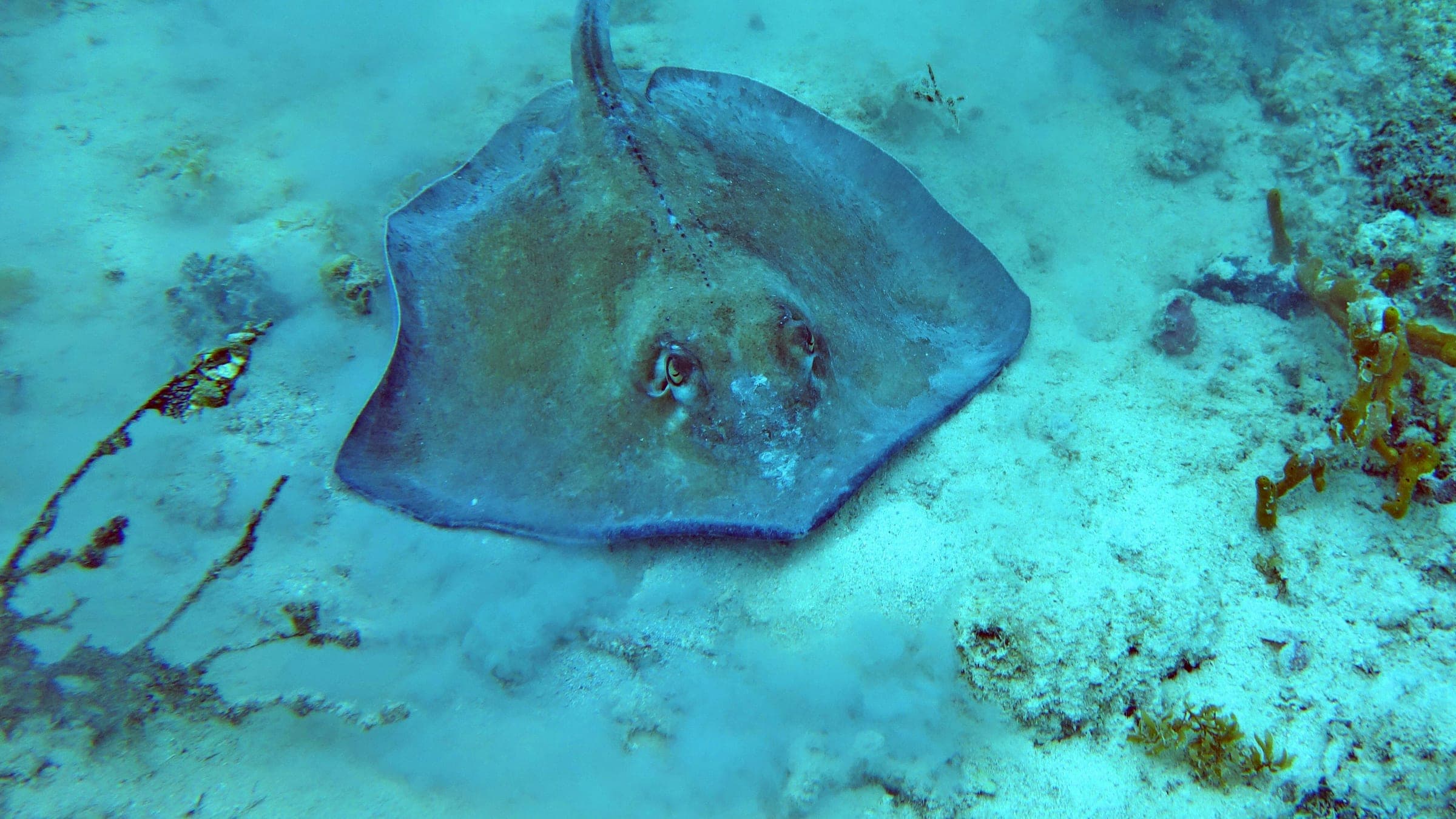
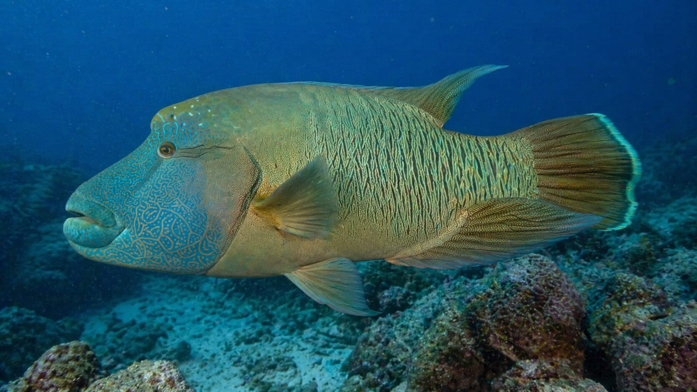
Species commonly reported at this site, with direct links into their wildlife guides.
Community dive logs and visit reports for this site.
Be the first to log a dive at this spot and share your experience!
Average conditions based on logged dives & visits.
Planning answers for access, conditions, timing, and site logistics.
Last Updated
Research Sources
Easy access from the shore; entry-level wreck profile; max depth 16m; wreck broken up; marine life includes salema, sea bream, cardinal fish, octopus, and scorpionfish.
Shore access; independent possible; open water plus; 5-16m profile; described as Malta's best shallow historic wreck.
Free access; short swim to the wreck; entry with handrail; swell can make exit difficult; shore, night, shallow, and explorer dive categories.
Bow section around 14m on white sand; wreck is badly broken up; marine life is still strong around the structure.
Know this site? Improve Spot Details.
Lighter X127: historic Manoel Island wreck with easy shore access.
Shallow Sliema reef with canyons, tunnels, and photo potential.
Ta Xbiex: sheltered harbour dive with easy shore access.
Mv Imperial Eagle: deep wreck with a nearby statue.
Artificial-reef ferry wreck off Malta for advanced scuba.